Central Tian Shan
Route Description: С ребру с пер. Дикий
 SSummitMate
Report on the ascent of Pik Pobedy (7439 m) via the North Ridge from Diky Pass, category 5B, made by Belarusian climbers in 2019.
Belarusian Federation of Alpinism
Report
on the ascent to the summit of Peak Pobeda 7439, Zap. Pobeda, Main, via the north edge from Dikiy Pass, 5B, by D. Medzmariashvili 2019
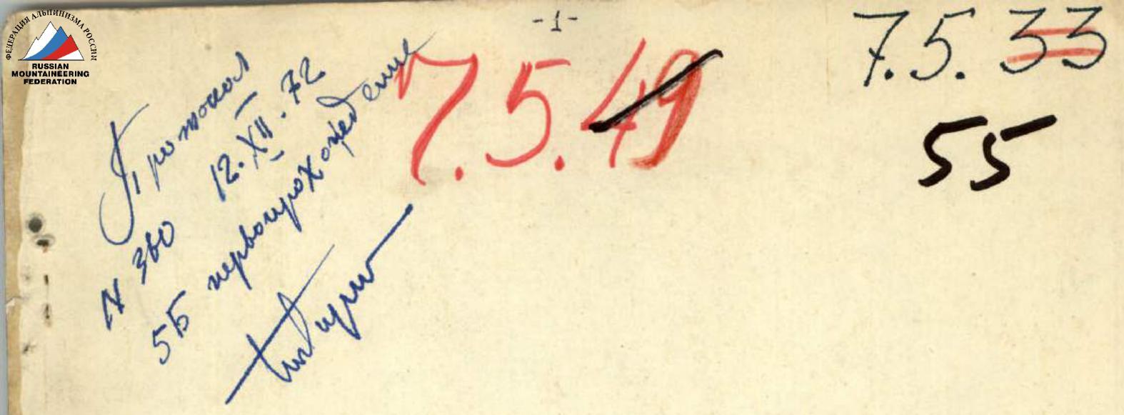
Route Passport
- Mountain region: Tian Shan, Kyrgyzstan.
- Name of the summit: Peak Pobeda (7439 m).
- Category of difficulty: 5B high-altitude.
- Nature of the route: snow-rock-ice.
- Route:
- Zvezdochka glacier, Dikiy Pass, Peak Pobeda West along the northern edge, Peak Pobeda Main, 7439 m, descent via the ascent route;
Route Description: С гребню
SSummitMateFirst ascent via the North Ridge of Pik Podmoskovny in the Western Kokshaal-Too range, category 5B difficulty, with a detailed description of the route and climbing conditions.
Passport
I. Class — technical 2. Tian Shan, Western Kokshaal-Too 3. Pik Podmoskovny via North Ridge 4. Proposed 5B category, first ascent 5. Elevation gain 1133 m. Distance 1250 m. Distance of sections with 5–6 category difficulty 730 m, including 120 m of 6 category. Average steepness of the main part of the route 65°. 6. Pitons driven: rock — 32/3, bolted — 0/0, chocks — 51/8, ice screws — 12/0 7. Team's travel time: 24 hours and 3 days.
Route Description: С ребру
SSummitMateAscent description for the summit 4758 m (Pik Pozharnykh Geroev Chernobylya) via the northern edge in the Central Tian-Shan, category of complexity 4B.
Ascent Log
- Ascent type — rock climbing
- Ascent area — Central Tien Shan, Western Kokshaal-Tau range
- Peak — 4758 m (Pik Pozharnikh Geroyev Chernobylia via the north edge)
- Proposed — 4B category of difficulty, first ascent
- Elevation gain — 858 m Section lengths:
- 3rd category of difficulty — 280 m
- 4th category of difficulty — 355 m Average slope:
Route Description: ЮЗ стене
SSummitMateDescriptions of ascents to the peaks Propeller, Druzhba, Promezhutochnyi, 40 let Oktyabrya, and Prof. Gorelik in a mountain range with glaciers and rock formations.
Peak Propeller 4551
Propeller is the end point of a gentle snowy ridge trending southeast, branching off the southwestern part of the Cornice peak. It drops to the Chon-Turasu glacier with a sheer rock wall. The ascent is done from Moldova Pass and takes one day.
16 Peaks Druzhba and Promezhutochny 4450
The peaks are located on the main ridge and close the Nalivkin cirque. Peak Druzhba is a rise in a sharp ridge: rocky to the east and icy with cornices to the west; Peak Promezhutochny is a rise on this icy ridge. The ridge drops to Nalivkin Glacier with a smooth 70-degree ice wall, and to the south with a snowy-icy slope; the last few meters before the summit have the same steepness. The peaks are small snow-covered areas. To the east of Druzhba's summit area are rock "feathers" of equal height. The ascents are done from Ototaş Glacier. After ascending to K-3 Pass (in the upper Ototaş Glacier) via steep, usually ice-covered rocks, one comes to Promezhutochny Peak. Then, along the ridge with huge cornices, one moves toward Druzhba Peak. Along the way, it is necessary to drive in 6-8 ice screws because the upper part of the ridge reaches a steepness of 60°.
54 Peaks 40-let Oktyabrya and Prof. Goralik
Both peaks are located in a lateral spur between the valleys of Chon-Turasu and Kichine-Turasu rivers. Peak 40 let Oktyabrya is a small rocky peak; the slope facing Marona Glacier is rocky and talus; the one facing Kichine-Turasu Glacier is snowy and icy. Prof. Goralik Peak is a low but beautiful rocky tower, the upper plane of which is covered with ice; the glacier flows down to the northeast; the slopes of the peak are talus with frequent rock outcrops. The ascents can be done from either valley: by ascending to the saddle between the peaks along the ridge, one reaches the summit.
Route Description: с л. Чонтурасу, с пер. Молдова
SSummitMateDescriptions of ascents to the peaks Propeller, Druzhba, Promezhutochny, 40 let Oktyabrya, and Prof. Gorelik, including routes and technical details.
Pik Propeller. 4551 m Propeller is the final ascent of a gentle snow ridge trending southeast, branching off from the southwestern part of p. Karniz. It drops to l. Chon-Turasu with a sheer rock wall. The ascent is made from the Moldova Pass and takes one day.
16 Peaks Druzhba and Promezhutochnyi. 4450 m
The peaks are located in the main ridge and enclose the cirque of l. Nalivkina. Pik Druzhba is an elevation in a sharp ridge: rocky to the east and icy with cornices to the west; Pik Promezhutochnyi is an elevation of this icy ridge. The ridge drops to l. Nalivkina with a smooth 70-degree ice wall, and to the south with snowy-icy slopes on the final meters before the summit, having the same steepness. The peaks represent small snow-covered areas. To the east of the summit area of p. Druzhba are rock "feathers" of equal height. Ascent is made from l. Ototaş. Having ascended to K-3 Pass (in the upper reaches of l. Ototaş) via steep, usually ice-covered rocks, one reaches p. Promezhutochnyi. Then along the ridge with huge cornices, one moves towards Pik Druzhba. Along the way, 6–8 ice screws have to be hammered in because the upper part of the ridge reaches a steepness of 60°.
Peaks 40-let Oktyabrya and prof. Garelika
Both peaks are located in a lateral spur between the valleys of the Chon-Turasu and Kichine-Turasu rivers. Pik 40-let Oktyabrya is a small rocky peak, the slope facing l. Marona is rocky-scree; to l. Kichine-Turasu it is snowy-icy. Pik prof. Garelika is a low but beautiful rocky tower, the upper surface of which is covered in ice; the glacier slides down to the northeast, the slopes of the peak are scree with frequent rock outcrops. Ascent can be made from either valley: by ascending to the saddle between the peaks along the ridge, the summit is reached.
Route Description: траверс
SSummitMateThe traverse of the SAVO - Vazha Pshavela peaks in the Central Tian Shan, expedition of the "Burevestnik" team in 1972.
Report
Peaks SAVO (6088)—Vazha Pshavela (6918) Central Tien Shan
Expedition of CS and MGS SDSO "Burevestnik"
Glukhov V.V.—captain, MSMS
Bobrov V.I.—coach, CMS
Zasetsky V.G.—participant, CMS
Petruk V.P.—participant, CMS
Soustin B.P.—participant, MS
Route Description: ЮВ стене и В гребню
SSummitMateFirst ascent of Trapeziya peak (5240 m) via the SE wall and East ridge in Tian Shan, category of difficulty 5B.
Passport
- Technical category
- Tian-Shan, western Kokshaal-Tau, Chon-Turasu valley
- Peak Trapeziya (5240 m) via the SE wall and East ridge
- Proposed 5B category, first ascent
- Height difference 1140 m. Length 1970 m. Length of sections with 5th category difficulty — 460 m. 6th category difficulty — 92 m. Average steepness: main part of the route — 62°, entire route — 41°
Route Description: В стене
SSummitMateClimbing Trident Peak via the eastern wall, a category 3B route, height 5252 m, with a detailed account of the challenging itinerary and overcoming obstacles.
Trezubets peak is the main elevation of a powerful spur that separates Ototaš glacier and the eastern branch of Komarov glacier. The spur has steep icy slopes interrupted by sheer rock drops. The ascent to Trezubets peak is made from Ototaš glacier, where a camp is usually set up. It is quite difficult to chart a specific route to the summit due to the lack of good landmarks. It is worth noting that the ascent should begin from the north side of the sheer rock wall opposite to Obzorny peak. After ascending 400–450 m up the icy rocks, there follows an icy section: here, one has to overcome a 60-degree ice wall with crevasses in a couloir. The final section — up to the ridge — is snowy. The ridge is rocky and sharp; the length of its traverse depends on the point of ascent to the ridge. The highest point is not clearly expressed — it is a pillar-gendarme.
Ascent to Trezubets peak via the eastern wall (cat. 3B) 5258
We leave the camp located at the foot of the Main summit of Trezubets peak at 5:00. After 70 m of movement across the glacier in deep snow, we reach the rocks. Their average steepness throughout is about 60°. We rope up in two pairs. Zarubin P. (leader) and Chasov E. — the first pair; Vasiliev (leader) and Ivanova V. — the second. The direction of movement is to the right along the walls, then up and to the left. Movement is always with alternate belay. The rocks are not solid, so it is not easy to organize a reliable belay. Very often, we belay through an ice axe driven into the dense icy firn. x) Ascents made by participants of these expeditions in other ridges are not considered by us. xx) The description is compiled by L. Vasiliev. A thin layer of ice and snow on the rocks hinders movement. Deep loose snow lies between the rocks. We carefully avoid couloirs. All of them show traces of recent large and small avalanches. In addition, many couloirs hide serac ice under a thin layer of snow.
Route Description: СЗ гребню
SSummitMateAscent to Peak M. Tourist via the rocky ridge with a detailed description of the challenging route and technical details.
Ascending Peak Maly Tourist via the Northwest Ridge (Category 3B)
We leave the base camp, located on a sandbar in front of the tongues of Gl. Researchers and Chon-Turasu, at 10:30. Moving along the sandbar alongside a stream running near the tents, we approach the tongue of Gl. Chon-Turasu and begin to bypass it from the left (north) along the same stream. To our left are:
- heaps of enormous old moraines
- moraines lying on dead ice The stream disappears into the stones, and we come to a depression located between the scree slopes of the ridge between Pik Skalisty and Pik Maly Tourist to the north and the modern terminal and lateral moraines of Gl. Researchers to the south (old lateral moraines are absent). A large stream with clear water flows along the flat bottom of the hollow. The stream is not deep, and we cross it several times via stones. Soon the stream turns right, while we continue moving along the hollow. At 12:30, we ascend to a rampart (its upper part is covered with calcite boulders) blocking the hollow and enter a flat and almost horizontal gravel area about 150 m long and 30–50 m wide. After climbing the next rampart (from here, it's easy to ascend to the glacier's surface), we enter a second almost horizontal area. The area stretches for 400–500 m and ends under a powerful monolithic buttress descending from the ridge's bend before Pik Maly Tourist. The lower part of the area is silted, with a small lake. The lake is fed by:
- one large stream,
- several small streams from the slope of Pik Skalisty. The buttress descending from the ridge's bend cuts into the glacier (as do several other buttresses located higher along the glacier) and deflects it to the south. At the same time, it "dumps" the glacier's lateral moraine closer to its middle. This explains the formation of such large depressions and the absence of a lateral moraine on the glacier.
Route Description: С ребру с пер. Дикий
SSummitMateAscent to Peak Pobeda (7433 m) via the West summit from Zvezdochka Glacier, category 5B route difficulty level, made in 1997 by the team from Chelyabinsk.
PASSPORT
- High-altitude technical class
- Central Tian-Shan, Kokmaal-Too ridge
- Peak Pobeda (Gl.), via the western peak from Zvezdochka glacier, 7439 m
- 5B cat. diff.
- Elevation gain – 3439 m, distance – 6000 m
- Pitons hammered: rock – 2+10², ice – 6+8²
- Ice hours – 25, days – 4
- Overnights: I – in a snow cave, 2, 3, 4 – in a tent
- Team: Nagovitsyna Elena Yulyevna, CMS; Roslyakov Sergey Viktorovich, CMS.