Activity Feed
Route Description: зеркалам СВ стены
 SSummitMate
Report on the ascent of Ushba North Peak via the Northeast wall in 1975 by a team of climbers from the "Avangard" sports society, led by V. Monogarov.
COMMITTEE FOR PHYSICAL CULTURE AND SPORTS UNDER THE COUNCIL OF MINISTERS OF THE USSR Dedicated to the XXV Congress of the CPSU.
Ascent Report
On the ascent of the North peak of Ushba, 4695 m, via the North-East face; Central Caucasus; technically complex ascent category. COMPOSITION OF THE ASCENT GROUP:
- MONOGAROV V.D., Master of Sport, "AVANGARD"
- LAVRINENKO D.N., Master of Sport, "—"
- VOLYNSKY V.A., Master of Sport, "—"
- BERESNEV V.P., Candidate for Master of Sport, "—"
- KLATAEVSKY V.I., Candidate for Master of Sport, "—"
Route Description: СЗ стене
SSummitMateFirst ascent via the North-West face of North Ushba, cat. 5B, 1982, climbing report by the team led by Vladimir Kolomntsev.
- Category of ice and snow ascents.
- Central Caucasus.
- North Ushba via NW wall.
- Proposed route: 5B category of difficulty, first ascent.
- Elevation gain: 1600 m, length — 2300 m. Length of sections with 5th category of difficulty — 1320 m. Average steepness: main sections — 58° (3800–4650 m), entire route — 49°.
- Pitons driven: rock — 46, chocks — 18, ice screws — 49, snow anchors — 25.
- Team's climbing hours: 25 days : 2
- Overnight stops: 1st and 2nd bivouacs were dug out on a snow-ice slope.
Route Description: СЗ стене
SSummitMateAscent certificate for Ushba N. (4694 m) via the North-West face, category 6A complexity, route description and its passage in February 1997.
Ascent Passport
- Class — winter
- Climbing area — Central Caucasus
- Peak — Ushba N. 4694 m, via the Northwest wall
- Category of difficulty — 6A
- Height difference — 1017 m, length — 1700 m, length of sections with 5th category of difficulty — 1020 m, length of sections with 6th category of difficulty — 70 m, average steepness of the wall section of the route — 47°
- Pitons driven: rock, chocks, ice screws, bolt pitons | 5 | 3 | 83 | 0 | | :-: | :-: | :--: | :-: | | 0 | 0 | 0 | 0 |
Route Description: СЗ стене
SSummitMateDescription of the ascent to Ushba North summit via the NW wall, complexity category 5B, climbed by the team in 1983.
Passport
I. Category — technical 2. Central Caucasus 3. Peak — Ushba North via N.W. wall (4694 m) Kolomyttsev V.G. route 4. 5B cat. diff. — 2nd ascent of the "Silver" route in 1982 5. Height difference: 1700 m, length 2400 m. Length of 5 cat. diff. sections — 1240 m. Average steepness of main sections: 55° (3750–4660 m) of the route 47° 6. Pitons hammered: rock — 26 закладок — 21
Route Description: СЗ стене
SSummitMateReport on the winter ascent of category 6A complexity via the North-West face of Severny Ushba on the Central Caucasus in 1991.
Ascent Passport
I. Winter ascent category 2. Central Caucasus 3. North Ushba, via the Northwest wall 4. Route 6A category of difficulty (route 181) 5. Elevation gain 1600 m, length — 2300 m Length of sections with 5th category of difficulty — 1320 m. Average steepness of main sections — 58° (3800–4650), route: 49° 6. Pitons hammered: rock — 26, chocks — 6, ice screws — 85 7. Team's travel time: 23 hours and days — 3
Route Description: СЗ стене
SSummitMateDescription of the ascent route to Severnaia Ushba via the northwest wall (6B difficulty category) with a detailed analysis of the sections and technical photographs.
Passport
- Class of winter ascents.
- Central Caucasus.
- North Ushba via northwest wall (Kolomyttsev V.G. route)
- 6A difficulty category.
- Height difference — 1600 m. Length 2300 m. Length of sections:
- 5–6 cat. diff. — 1320 m
- 6 cat. diff. — 840 m
Route Description: СЗ стене
SSummitMateWinter ascent to Severnaya Ushba via North-west wall, 6A grade, height difference 1700 m, route length 2550 m.
Ascent Certificate
- Class: winter
- Ascent area: Caucasus, Prielbrusye
- Ushba North via Northwest wall
- Category of difficulty: 6A
- Route characteristics:
- Elevation gain: 1700 m (by altimeter)
- Route length: 2550 m
- Length of sections with 5th category of difficulty — 1370 m
- Average steepness: main part of the route — 56°, entire route (from bivouacs) — 48°
Route Description: СВ стене
SSummitMateThe ascent to Severny Ushba via "Mirror" on the eastern wall from Chalatt Glacier in 1968 was an extremely challenging route, rated as Category 6B.
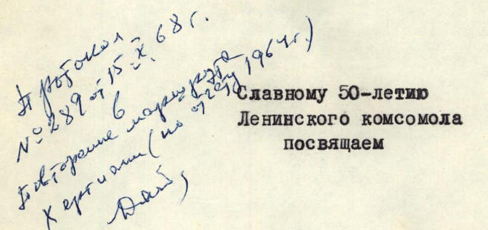 ASCENT TO NORTH USHBA VIA THE EASTERN WALL /"MIRROR"/ FROM CHALAAT GLACIER
/Climbing Report/
Kiev — 1968
ASCENT TO NORTH USHBA VIA THE EASTERN WALL /"MIRROR"/ FROM CHALAAT GLACIER
/Climbing Report/
Kiev — 1968
 Ascent route via the "mirror" of the Eastern wall of N. Ushba.
1. Introduction
1. Brief Characteristics of the Ushba Massif
Ushba is located in close proximity to the Main Caucasian Ridge, branching off from it near Shchurovsky Peak. The Ushba massif features two sharp peaks separated by a shallow saddle. The north-eastern peak has an absolute height of 4695 m. A sharply descending and short ridge with a small peak, Gulba, extends from it.
Route Description: левой части СВ стены
SSummitMateDescription of the passage of a 5B category difficulty route through the left part of the North-East face of Severnaia Ushba (4694 m) in the Central Caucasus in 1988.
I.
Class – technical
2. Central Caucasus
3. Peak — Ushba Northern via left part of NE wall, 4694 m, route by Grishchenko V.
I.
4. 5B cat. diff. 2nd ascent of route I-98-I year
5. Height difference: 1495 m, length — 2050 m
length of sections with 5-6 cat. diff. — 1000 m, average steepness of the main part
of the route — 75° (3995-4035, 40-I-5–4-I-75, 42-I-O–44-I-O), including 440 m of 6 cat. diff.
6. Pitons hammered:
Route Description: 3 гребню
SSummitMateDescription of the 4B category climbing route to the Jaylyk summit with a detailed analysis of the path, belay, and descent.
The summit of Dzhailyk has a 4B category of difficulty, the nature of the route is combined. The summit of Dzhailyk is located on the sixth north-western Adyr spur. To the east of Dzhailyk (in the eastern branch) lies the summit of Cheget-bashi, to the south lies the summit of Kichkidar, and to the west lies the summit of Tyu. The summit of Dzhailyk is surrounded by glaciers: the eastern and western ones, as well as the northern Pnom-Su. Three ridges branch out from the summit of Dzhailyk:
- to the Donkina pass,
- the eastern one - towards the glacier of the summit Dzhailyk Kinchat,
- the western one - turning into a long rocky fence, separating the glaciers of the western Dzhailyk and the northern Pnom-Su. To the north-east, Dzhailyk drops with sheer walls and steep slopes, falling into the ridge between the massifs of Dzhailyk and Tyu-Tyu-S. The route begins with an overnight stay on the Black Rocks in their branch from the western ridge to Dzhailyk, in the form of a short, barely noticeable rocky ridge. From the overnight site, it goes towards the main western ridge. At the beginning, the path goes along broken rocks to the first "gendarmes", which is bypassed on the left along a steep snow-ice slope. Above the "gendarmes" there is a snow shelf, then a simple rocky ridge of broken rocks begins. The length of this section of the ridge is 35-40 m. Having passed this ridge, they reach the second "gendarmes" with sheer walls to the north-west and east. This "gendarmes" is bypassed on the left along a snow-ice couloir. Having passed 35-40 m along the couloir, one should climb up a 5-meter sloping shelf, leading to a gentle slab. From the slab: