Activity Feed
Route Description: центру ЮЗ стены
 SSummitMate
Report on the ascent made by the Sports Committee team of the USSR Ministry of Defense to the summit of Ushba via a new route, category 6 difficulty, along the edge of the West Face via the "pillar".
USSR ALPINISM CHAMPIONSHIP 1981. TECHNICAL CLIMB CLASS
Central Caucasus 196a
Report
On the ascent of the Sports Committee team of the Ministry of Defense of the USSR to the SOUTHERN USHBA peak via the edge of the Western wall through the "pillar".
Brief overview of the ascent object and route
Many routes have been laid out to the peaks of the Ushba, about twenty of which have received prizes at the USSR Championships. Two 6th category routes pass along the bastions of the Western wall of the Southern peak. At the junction of the Western and South-Western walls of the second rock belt, a sheer 700-meter granite "pillar" rises. To the left, the "pillar" is bypassed by a giant internal angle of the Western wall, along which Myshlyaev—Kosmahev laid out a fine route. To the right, along the South-Western wall, a route by V. Monogarov's group goes upwards to the right, also marked with gold medals at the USSR Championship. The routes are symmetrically positioned relative to the vertical axis of the "pillar". (Along the axis, a large crevice - a chimney - runs from the top). The upper 2/3 of the "pillar" between the internal angle of Myshlyaev on the left and the visual mid-axis overhang with a convex relief "fresco". This is the protrusion of a huge monolithic slab (400–450 m long), intersected by two transverse tiers of cornices. Along the right edge of this slab, 20–30 m from the mid-axis, a route was laid out in 1981. To the foot of the "pillar", the route coincides with the route of L. Myshlyaev and V. Monogarov (300 m of the ridge). Further, 560 new meters were passed along the sheer wall. On the rocks above the "pillar", the route coincides with L. Myshlyaev's route. Further, the route goes to the bastion "knife" with a variant to the left of L. Myshlyaev's route.
Route Description: центру ЮЗ стены
SSummitMateClimbing description of South Ushba via West face, category 5B difficulty level.
- Technical class.
- Central Caucasus
- Ushba South summit 4710 m via the center of the SW wall through the "Stolb" on Golubev's route.
- Category 5B, 2nd ascent of the "Golden" route of 1981.
- Elevation gain: 1460 m, length 2005 m. Length of sections with category 5–6 difficulty: 1030 m. Average steepness of main sections is 72° (3490–4630 m). Of these, category 6 sections: 855 m - (3520–4110 m) 575 m at 80–81°; (4182–4400 m) 145 m at 68°; (4470–4630 m) 135 m at 80°.
- Pitons used: | Rock | Bolt | Nuts | Ice | | :--: | :--: | :--: | :-: | | 134 | 0 | 144 | 10 |
Route Description: центру ЮЗ стены
SSummitMateReport on the ascent of the CS DSO "Avangard" team to Ushba South via the Central part of the West wall in 1965, describing the route, technical difficulties, and ascent tactics.
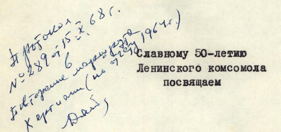
Central Council of DSO "Avangard"
To the blessed memory of Ukrainian climbers Artur Glukhontsev and Vitaly Timokhin we dedicate
Ascent to South Ushba via the Central part of the West wall
(report on the ascent)
V. Monogarov
Kiev—1965
The route via the Central part of the West wall of South Ushba, traversed by the combined team of CS DSO "Avangard" in July 1965.
Route Description: СЗ ребру
SSummitMateDescription of the route to the summit of Ushba (4710 m) via the Northwest Ridge, complexity category 5B, with a detailed description of the path and recommendations.
v. USHBA SHIKHANA, 4710 m via NW edge, cat. diff. 5B, G. Zhivlyuk's route, 62 Height difference — 2000 m, average steepness — 65°, length of sections with category VI difficulty — 120 m, V — 180 m, IV — 820 m, III — 450 m. Trekking hours — 47. Number of bivouacs — 3. Climbing leader — Nasonova E.T. Climbing date — 9:00–14:00, 1982. Recommendations: From "Ohotnichye bivouacs" or from the moraine of Ushba glacier, a hanging glacier is clearly visible, located to the right of the leftmost rocky edge of the NW wall D. of Ushba. The hanging glacier and the NW edge, abutting against the sheer walls of the "bastion", are good landmarks on the lower half of the route. The length of the edge to the "bastion" is about 1500 m. The path along the summit tower is clearly visible from the side of Ushba pass. It is mainly a diagonal traverse along a wall covered with flowstone ice with a steepness of about 70°. The length of the route along the tower is 1000–1100 m. The main technical difficulties are encountered when bypassing the tower. The western orientation of the wall contributes to the fact that the group gets "tired" late and does not have time to make a comfortable bivouac. It is recommended to set up a bivouac no later than 16:00.
Route description:
From the bivouac on the moraine of Ushba glacier, we head to the small glacier descending from under route D. Grigorenko — Prigoda. From the small glacier, we cross the rocky edge in its narrow part (160 m of category III–IV rocks) and get to the hanging glacier. We ascend the lower part of the hanging glacier, broken by crevices, onto its plateau and then, after 350–400 m along the snowy plateau, we reach the NW edge.
Route Description: ЮВ кф. Ю гребня
SSummitMateA description of a challenging alpine route with a key section in the form of a sheer wall, completed in 4 days with an early start and thorough safety organization.
P. 11 There are sections on the route where rockfall is possible: in the lower and middle
parts of the контрокфорса and on the wall. These features and unstable weather dictated
the following ascent tactics:
- Early exit from the base camp in good weather conditions to climb as high as possible on the first day along the контрокфорс, and, if circumstances permit, to inspect the wall.
- Passing the wall and the summit ridge with an overnight stay below the summit or on the summit — on the second day.
- On the third day — descent from the summit to the first overnight stay, and possibly
Route Description: с юга через красный угол
SSummitMateDescription of the route to the top of Ushba Shkhara (4710 m) via the "Red corner", category of complexity BA, by Shultze route.
Ushba Shkhana, 4710 m, via "Red corner", c, CA cat. diff., route A. Shultse, 03. From the Mazeri village, the path to the summit goes along the small Guli-Chale stream to the Gulsky glacier (6–7 hours). Bivouac on the grassy slopes near the Gul glacier. From the bivouac site:
- Cross the Gul glacier towards a wide snow couloir, which starts the ascent to the Mazerskaya saddle.
- Having gone about 2/3 of the distance along the couloir, turn right into a small rocky couloir.
- Exit through it to a ridge, which leads to the beginning of a narrow snow couloir.
- Move along this couloir to the Mazerskaya saddle (jags) — 4–4.5 hours from the bivouac.
Route Description: СВ стене через столб
SSummitMateA description of a technical ascent of category 6 complexity to the summit Ushba North (4694 m) via the northeast wall through the "Pillar" in the Central Caucasus.
Ascent Passport
I. Ascent Class — TECHNICAL 2. Ascent Region — CENTRAL CAUCASUS 3. Ascent Route — Ushba North (4694 m) VIA NORTH-EAST FACE through the "STOLB" (pillar) 4. Presumed Difficulty Category — 6th cat. diff. 5. Route Characteristics: ELEVATION GAIN
- 1150 m EXTENT OF SECTIONS I and II cat. diff.
- 620 m
Route Description: СВ стене через столб
SSummitMateThe ascent of the MOSOBLSPORTKOMITET team to the summit of Ushba North via the northeast wall through the "pillar" in 1981, the first ascent of a route of 6B category difficulty.
Report
On the ascent of Ushba North peak (4694 m) via the northeast wall through the "pillar" by the team from the Moscow Regional Sports Committee, USSR Championship 1981, technical class, first ascent
I. General Information
In accordance with the regulations of the 1981 USSR Alpine Championship, the technical class competition is held in the Caucasus. The twin-peaked Ushba is the most popular and perhaps the most inaccessible peak in the Caucasus, attracting mountaineers for over 100 years. Ushba routes have been entered into the USSR championships around forty times. Climbers have been awarded:
- 54 gold medals;
- over 40 silver medals;
- around 10 bronze medals. Both peaks have no easy ascent routes due to their location in one of the spurs of the Main Caucasian Ridge, with the northern peak connected to it via the northern ridge - the most accessible path to Ushba North. The steep, dual-sloping "roof" of Ushba drops off with sheer walls to the:
Route Description: левой части СВ стены
SSummitMateDescription of the passage of a 5B category difficulty route through the left part of the North-East face of Severnaia Ushba (4694 m) in the Central Caucasus in 1988.
I.
Class – technical
2. Central Caucasus
3. Peak — Ushba Northern via left part of NE wall, 4694 m, route by Grishchenko V.
I.
4. 5B cat. diff. 2nd ascent of route I-98-I year
5. Height difference: 1495 m, length — 2050 m
length of sections with 5-6 cat. diff. — 1000 m, average steepness of the main part
of the route — 75° (3995-4035, 40-I-5–4-I-75, 42-I-O–44-I-O), including 440 m of 6 cat. diff.
6. Pitons hammered:
Route Description: СВ стене
SSummitMateThe ascent to Severny Ushba via "Mirror" on the eastern wall from Chalatt Glacier in 1968 was an extremely challenging route, rated as Category 6B.
 ASCENT TO NORTH USHBA VIA THE EASTERN WALL /"MIRROR"/ FROM CHALAAT GLACIER
/Climbing Report/
Kiev — 1968
ASCENT TO NORTH USHBA VIA THE EASTERN WALL /"MIRROR"/ FROM CHALAAT GLACIER
/Climbing Report/
Kiev — 1968
 Ascent route via the "mirror" of the Eastern wall of N. Ushba.
1. Introduction
1. Brief Characteristics of the Ushba Massif
Ushba is located in close proximity to the Main Caucasian Ridge, branching off from it near Shchurovsky Peak. The Ushba massif features two sharp peaks separated by a shallow saddle. The north-eastern peak has an absolute height of 4695 m. A sharply descending and short ridge with a small peak, Gulba, extends from it.