Ascent Passport
- Ascent class: combined
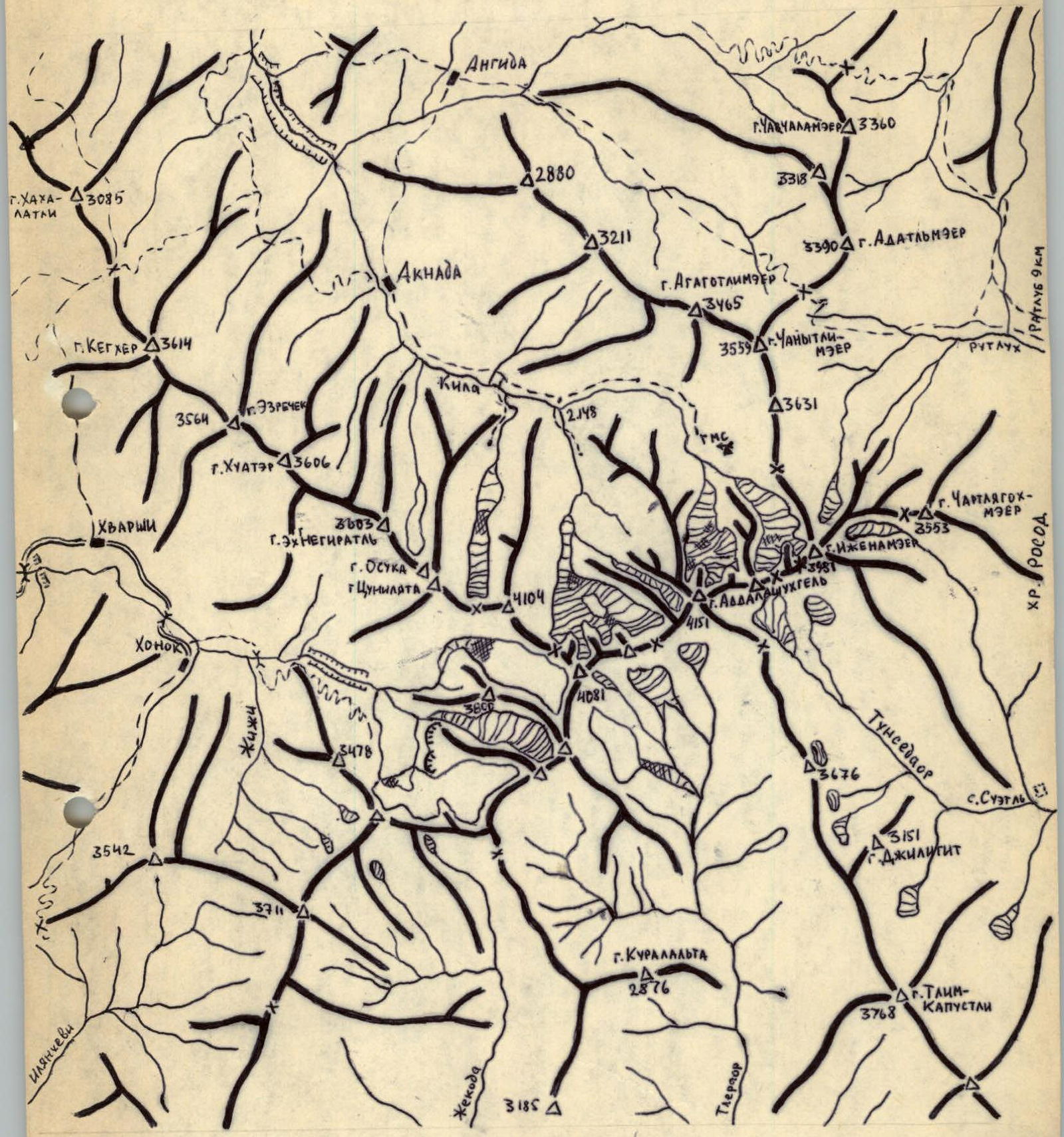
- Ascent area: 2.9.6 mountains of Dagestan
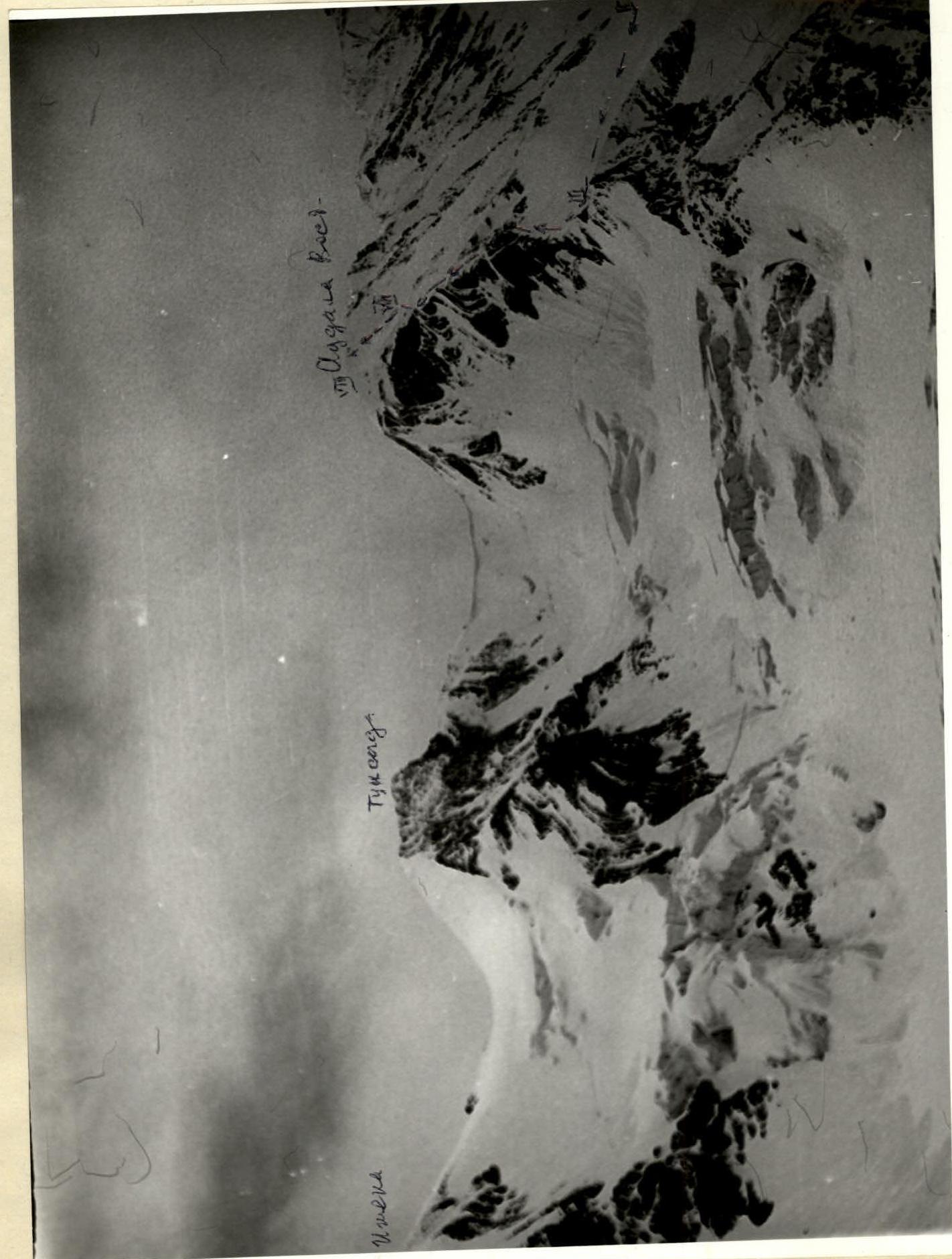
- Peak, its height and ascent route: Addala Eastern, 4025 m via N ridge
- Proposed difficulty category: 2A
- Route characteristics:
- height difference — 800 m
- average steepness — 50°
- length of sections: III cat. diff. — 170 m, II — 690 m, I — 450 m
- 7 ice, 2 rock, 2 screw anchors
- Pitons:
- Number of nights and their characteristics: no nights
- Number of travel hours: 8
- Full name of leader and participants, their sports qualification:
- Abdurakhmanov A.A. — II sports category
- Dibirgadzhiev Sh.K. — «—»
- Shanavazov Sh.E. — «—»
- Kozorezov E.F. — «—»
- Team coach:
- Date of departure and return: July 2, 1986
- Organization: Mountain Club of Dagestan State University "Eos"
Route Diagram
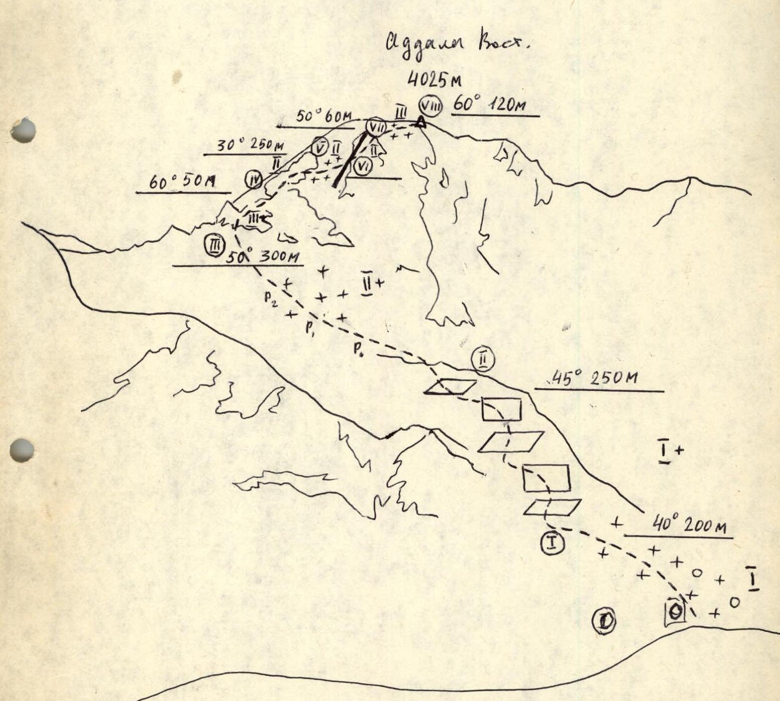
Explanation of the Diagram
It is recommended to set up a base camp near the "Sulak-high-mountain" weather station. The approach to the weather station is described in the book "Alpinism in Dagestan" — Makhachkala, 1986. From the weather station, go first along the left-bank (orographically) moraine of the NE Addala glacier, then cross this glacier in a southerly direction, not reaching the first stage of the ice fall.
Passage sections:
- Section R0–R1: possible avalanche danger
- Section RII–RIII: move in crampons, alternating belay, ice screws used.
- Section RVII–RVIII: avalanche danger, movement with alternating belay, ice screws used.
Note in the cairn on the rock shelf N slope. Control cairn on the pre-summit ridge.
Ascent Area Diagram
Route profile (photo from pass Izhnya, from the east, June 1983)