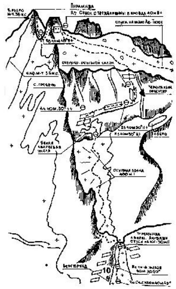
Mountains, ranges, passes, glaciers
Ascents, treks, ski tours
Reports, tips, reviews
Discussions and questions
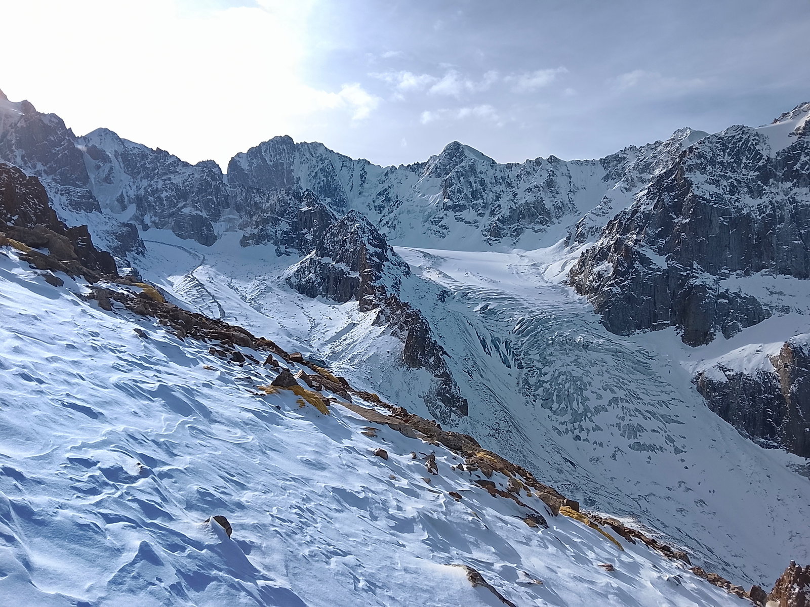
Дошли до ночевки на высоте 4750. Идти до вершины не хватило времени.