Каланых — Кая.
- «Жучок»
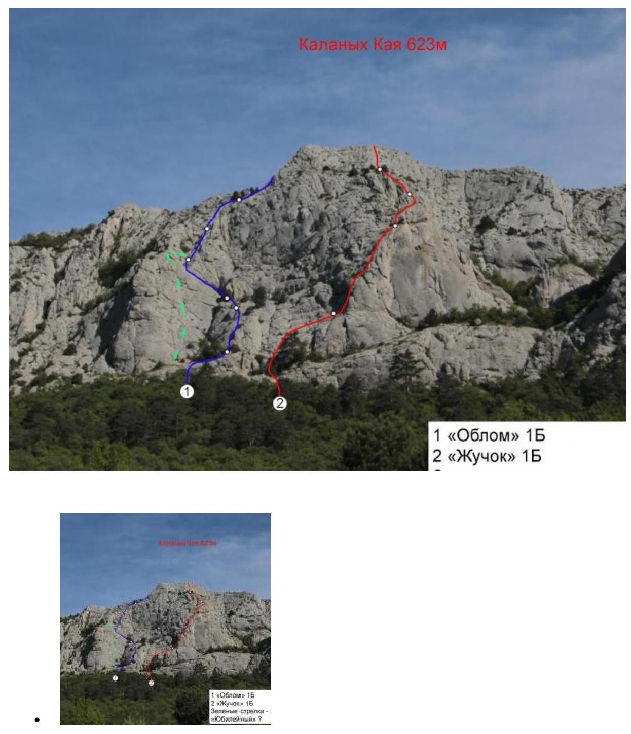
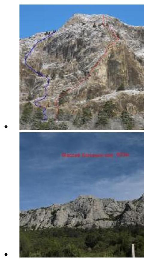
Massif: Каланых — Кая (623 m)
Map:
Difficulty: 1Б Author: Лавриненко А., Цема Е. Year of route creation: 2016 Time to complete: 1–3 hours
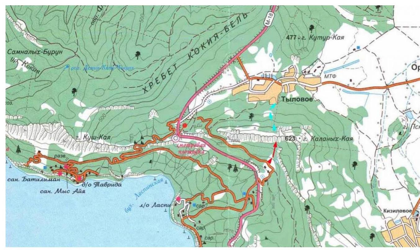
Route description: The mountain Каланых — Кая is located west of Ильяс — Кая, directly above the Ласпи tract. It is the highest point of the Донгуз Орун massif.
The "Жучок" route, 1Б category. From the "Миф" restaurant parking lot, go right — up the asphalt road to a large clearing. Across the clearing, at 11 o'clock, in the direction of the mountain. The approach is through terraces overgrown with forest; there is no clear trail. The starting point of the route is marked by a huge pine tree growing on a ledge in the lower part of the wall.
R0–R1: 60 m; II
The start of the route is at the inner corner directly under the pine tree. Up the inner corner to a ledge.
It is not recommended to approach the pine tree directly; instead, move to the left and then transition to the right up the gentle slabs.
The belay station is set on personal anchors.
R1–R2: 60 m, III
- Up the chimney
- Exit onto the counterfort
- Then up the counterfort
The belay station is on a small ledge under a cornice, set on personal anchors.
R2–R3: 60 m, II
- Bypass the cornice to the left via simple climbing
- Then up to the right, exit onto a sharp horizontal ridge
- Along the ridge, approach the wall
The belay station is set on personal anchors or on a tree to the left.
R3–R4: 50 m, III
- From the belay station, upwards
- Along the convex part of the counterfort, exit onto a ledge
The belay station is on a tree.
R4–R5: 40 m, II
From the belay station, straight up (it's possible to the left, but the rocks are dirty, with a lot of grass and small stones), exit onto the yayla.
Descent:
The simplest and fastest descent option is to the Тыловое settlement — straight down the yayla, then through the forest, taking about 15 minutes.
If you need to return to the South Coast of Crimea:
- Move along the ridge to the East,
- Cross over the second peak of Каланых Каи,
- Descend into a large depression overgrown with forest,
- At the lowest point, turn right and head down.
There is no clear trail. From the point of exit from the route onto the yayla to the Sevastopol — Yalta highway, it takes 1 hour.


