Ascent Passport
- Type of ascent — snow and ice.
- Region of ascent, ridge — Main Caucasian Ridge from Ortokare peak to Gestola peak, North spur.
- Peak, its height, ascent route — Mizhirgi Eastern, 4918 m, via the northern wall, via "cascades" (Shevchenko route).
- Anticipated difficulty category 5B
- Route characteristics: height difference — 1400 m, average steepness — 49°, length of 5B difficulty sections — 657 m.
- Pitons hammered: for rock protection — 18, ice screws — 89, chocks — 16.
- Number of climbing hours — 29.
- Number of nights and their characteristics: 2 bivouacs.
- Group composition: Ovsyannikov Yu.N., Master of Sports — leader, Zhuravlev V.V., Candidate for Master of Sports — participant, Karataev V.A., Candidate for Master of Sports — participant, Lebedev V.G., Candidate for Master of Sports — participant.
- Team coach: Koreneva I.E., Master of Sports of the USSR, category 1 instructor-methodologist.
- Date of departure and return: August 13–16, 1983.
Tactical Actions of the Team
According to the tactical plan of the ascent, on August 11, 1983, the team left the base camp for the tongue of the Kundyum-Mizhirgi glacier to observe the object of the ascent. On August 12, a detailed observation of the route was carried out throughout the day. On the same day, the entire team went to an overnight stay under the route.
On August 13, at 1:00 a.m., the team of four people left the bivouac and started working on the route. Work on the adopted left-hand variant of traversing the ice gully was carried out at night, observing all safety measures with the help of headlamps. The lower triangle was traversed according to the tactical plan of the ascent. At 11:00, the team began to traverse the ridge part of the route. At 15:00, we planned to reach the area of the second icefall, but due to a large amount of flow ice on the rock buttress slabs, the group passed this section two hours slower. The slabs were traversed using hung belays. At 18:00, the entire team was in the area of the second icefall. The icefall was traversed with free climbing and piton protection. At 20:00, the whole group was at the planned bivouac.
On August 14, the team left the bivouac at 9:00. The deviation from the planned departure time from the bivouac was caused by the danger of traversing the bergschrunds at night and the condition of the flow ice on the right part of the edge of the second triangle. The team traversed the upper bergschrund and the right edge of the triangle using belays from 9:00 to 14:00. Movement along this section was complicated by a large amount of flow ice. From 14:00 to 16:00, the team traversed the snow and ice ridge to the third icefall, and at 18:00, it reached the ridge of the Mizhirgi peak, removed the first note, and settled in for the planned bivouac. The upper icefall was traversed using belays.
On August 15, 1983, at 9:00, the descent began. The second note was removed. The descent was carried out together with teams from Ukraine and MAL. At 21:30, they descended to Jangy-Kosh.
August 16 — return to the base camp. All actions of the team on the route were determined by the condition of the route and its most hazardous sections. The movement of the rope teams was organized to allow one team to rest while the other worked.
- The lower triangle was first traversed by the Karataev V. – Lebedev V. rope team.
- The ridge part of the route — Ovsyannikov Yu. – Zhuravlev V. rope team.
- When traversing the upper part of the route, the rope teams constantly changed.
During the two days of work on the route, the team stopped twice for a planned rest (for 1–1.5 hours).
Communication with observers was carried out using RTP-70 2.4 M radio stations. The communication was clear and uninterrupted.
Team leader Ovsyannikov Yu.N.
Team coach Koreneva I.E.
Route Description by Sections
The route begins with a 40-meter snow and ice ascent with a steepness of 45° (R0–R1), leading to the base of the ice couloir (R1–R3). The couloir leads to a 50-meter inclined bench with a steepness of 55°. Protection is piton. Movement of rope teams is with belays. Stations for receiving participants are organized under the cover of walls. The bench turns into a 70-meter ice gully (R4–R8) with a steepness of 65–75°, turning into a 20° ice bench at the top. After the bench, a 50-meter ice wall with a steepness of 50° leads to a rock buttress (R9–R11), 4th difficulty category. The buttress leads to the middle icefall. In the upper part of the buttress, there are slabs covered with a thin layer of flow ice. Protection is piton. Along the rocks, flooded with flow ice — exit along the walls of the ice fall and the ledge of the middle icefall (R12–R16) to a snow and ice pad. Bivouac. From the pad, along a snow and ice slope through three bergschrunds, exit to the base of the ice gully leading to the edge of the upper triangle (R19–R22). Protection is piton. Along the edge, exit to a snow and ice ridge leading to the base of the upper icefall (R23–R25). Further, through the icefall, along a 40° snow slope, exit to the ridge. Bivouac. Along the ridge, exit to the summit and descent via the 5A category difficulty route to Jangy-Kosh.
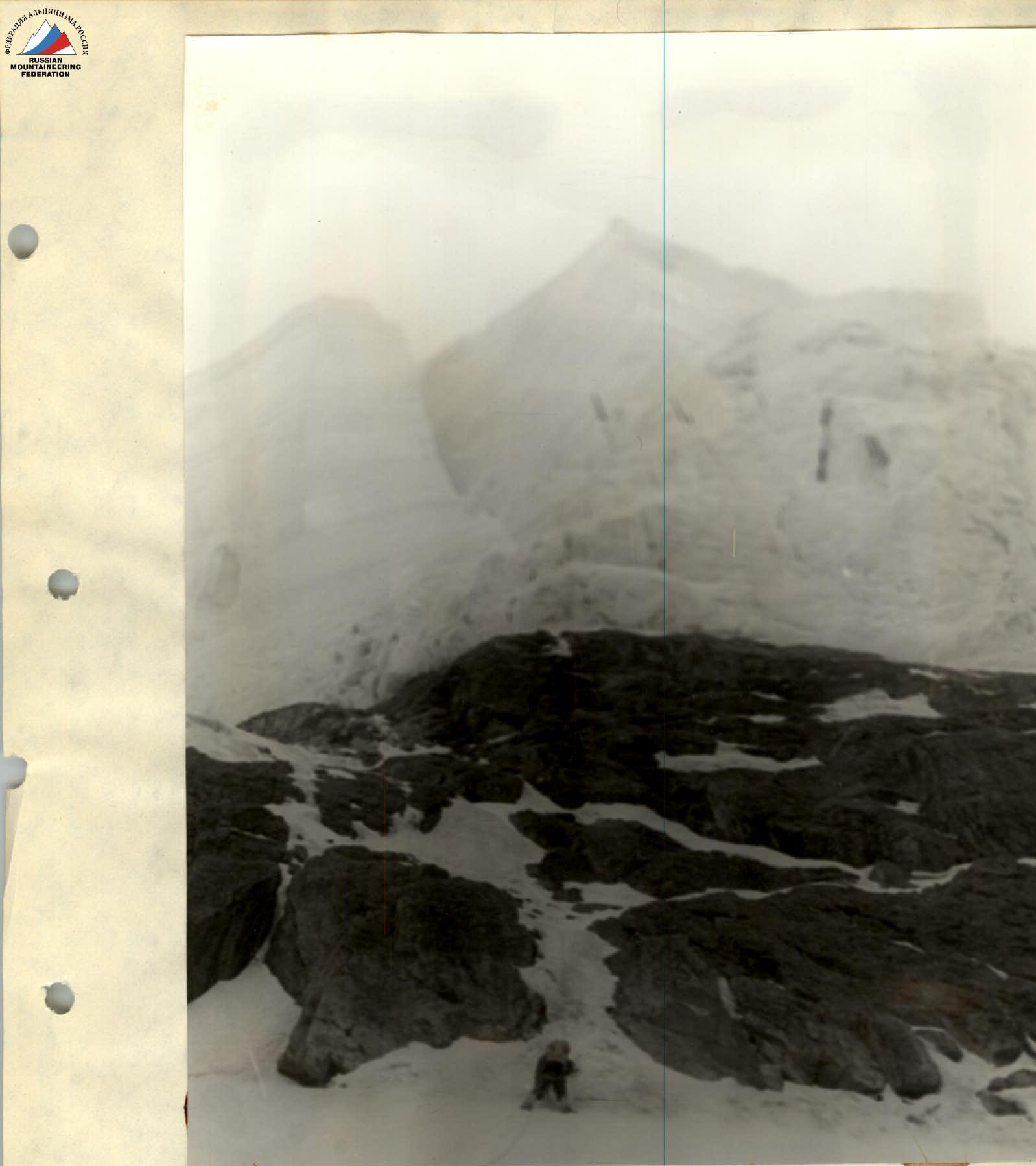
Photo #2
Section R11–R12.