Peak Stazhyorov from Znakchikov Pass, 2A cat. dif.

Approach
From the camp, move up towards the Big Akturu glacier. Walk along the slopes of Kzyl-Tash, following the riverbed, to large rocky "sheepbacks" (1–1.5 hours), which are bypassed on the right along a steep scree. Then move along the edge of the glacier. A glaciologists' camp is located on the moraine ridge, and beyond the ridge lies the Blue Lake. It takes 3–4.5 hours of walking from the camp. A convenient place to spend the night.
From the moraine lake, move up towards the Znakchikov Pass. The ascent initially goes along scree or a snowy slope (depending on the season). Time — 1.5–2 hours.
Route
Then ascend the steep snow-ice slope to the summit ridge. Movement:
- initially simultaneous,
- then on steep snow-ice sections — alternating with belay (up to 45°). In the upper part of the slope, it may be necessary to cross a crevasse. Then along the summit ridge reach the summit.
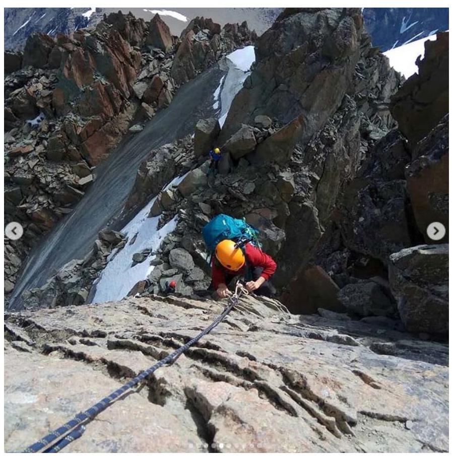
The crux of the route is at the very end. Bypass a gendarme on the ridge on the right. Then climb a short wall (5 m) to a slanting ledge, with a belay station on a loop on the ledge. Then along a sharp ridge and a final wall climb to the summit of Peak Stazhyorov. In total, there are two technical sections of 30–40 m, 2–3 cat. dif.
Time to ascend from the pass — 1.5–3 hours. Descent follows the ascent route.
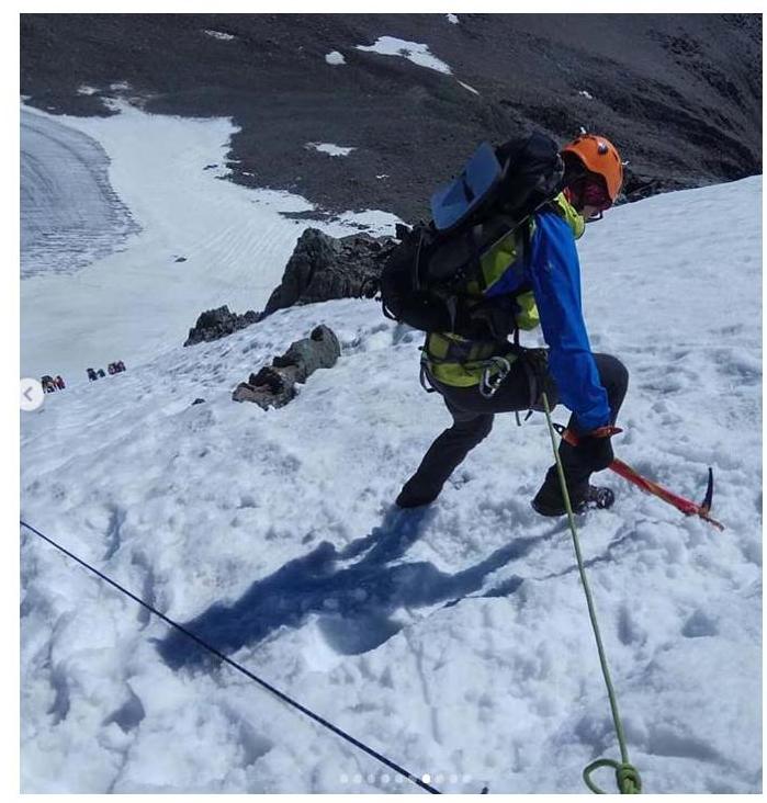
Ascent along a snow-ice slope
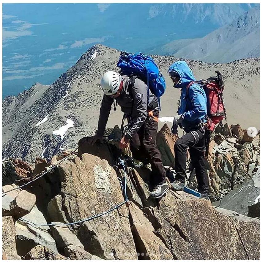
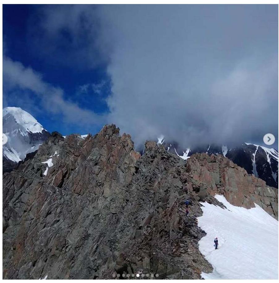
Pre-summit ridge
Pre-summit ridge
View from the summit of a working group
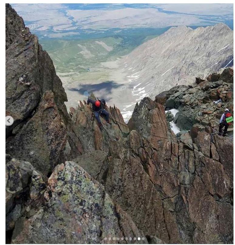
Key wall, 5 m
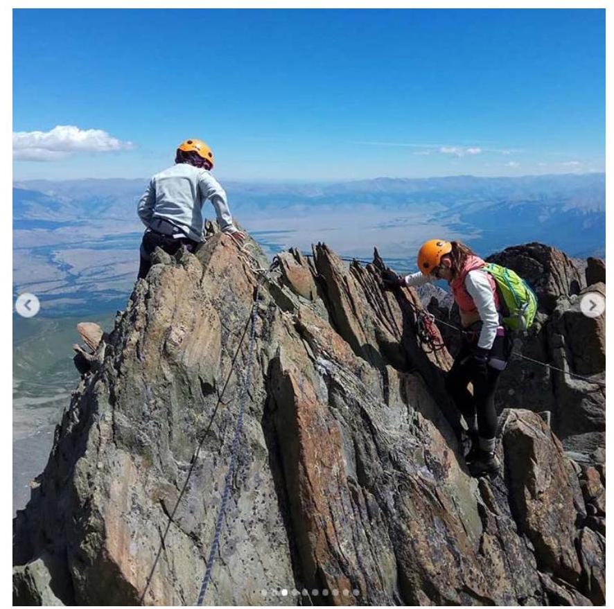
Movement along the ridge


