Ascent Passport
- Pamiro-Alai, Turkestan ridge, Ashat gorge, 2.1/2008
- Peak: working name "Prometheus", 3900 m, via E ridge.
- Proposed 3A category of difficulty, first ascent.
- The route is rocky.
- Height difference: 210 m. Length: 360 m. Length of V category of difficulty: 140 m. Average steepness of the main part of the route: 45°.
- 1 hook left on descent.
- Climbing hours: 2 hours.
- Leader: Koshelenko Yu. – ZMS. Partner: Kolisnyk V. – MS.
- Coach: Koshelenko Yu.
- Approach to the route: August 1, 2012. Route started: 10:40. Summit reached: 12:40. Return to Base Camp: 15:00.
- Alpinism Federation of RO.
- Responsible for the report: Koshelenko Yu.V., ykoshelenko@gmail.com.
General photo of the summit.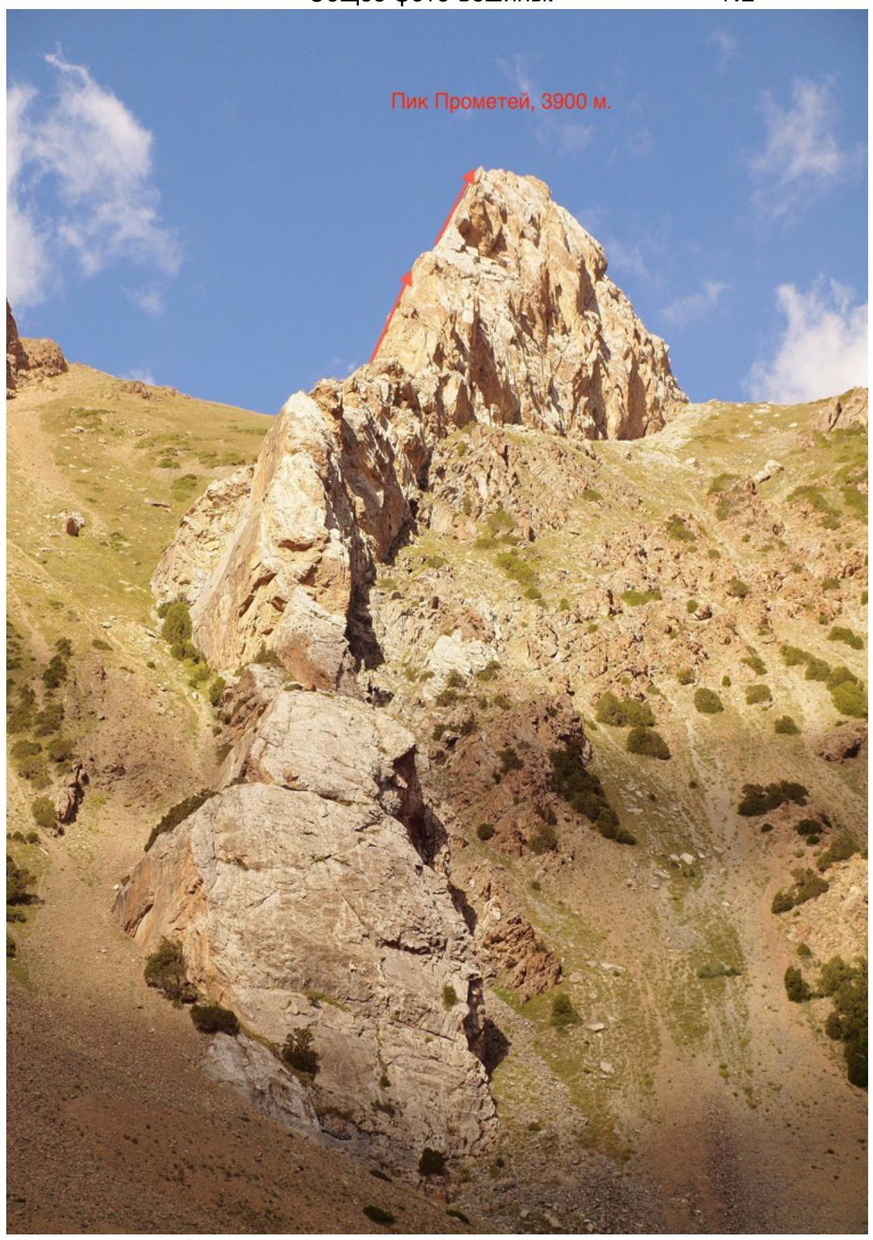
Prometheus peak (working name) 3900 m, team's route via E ridge.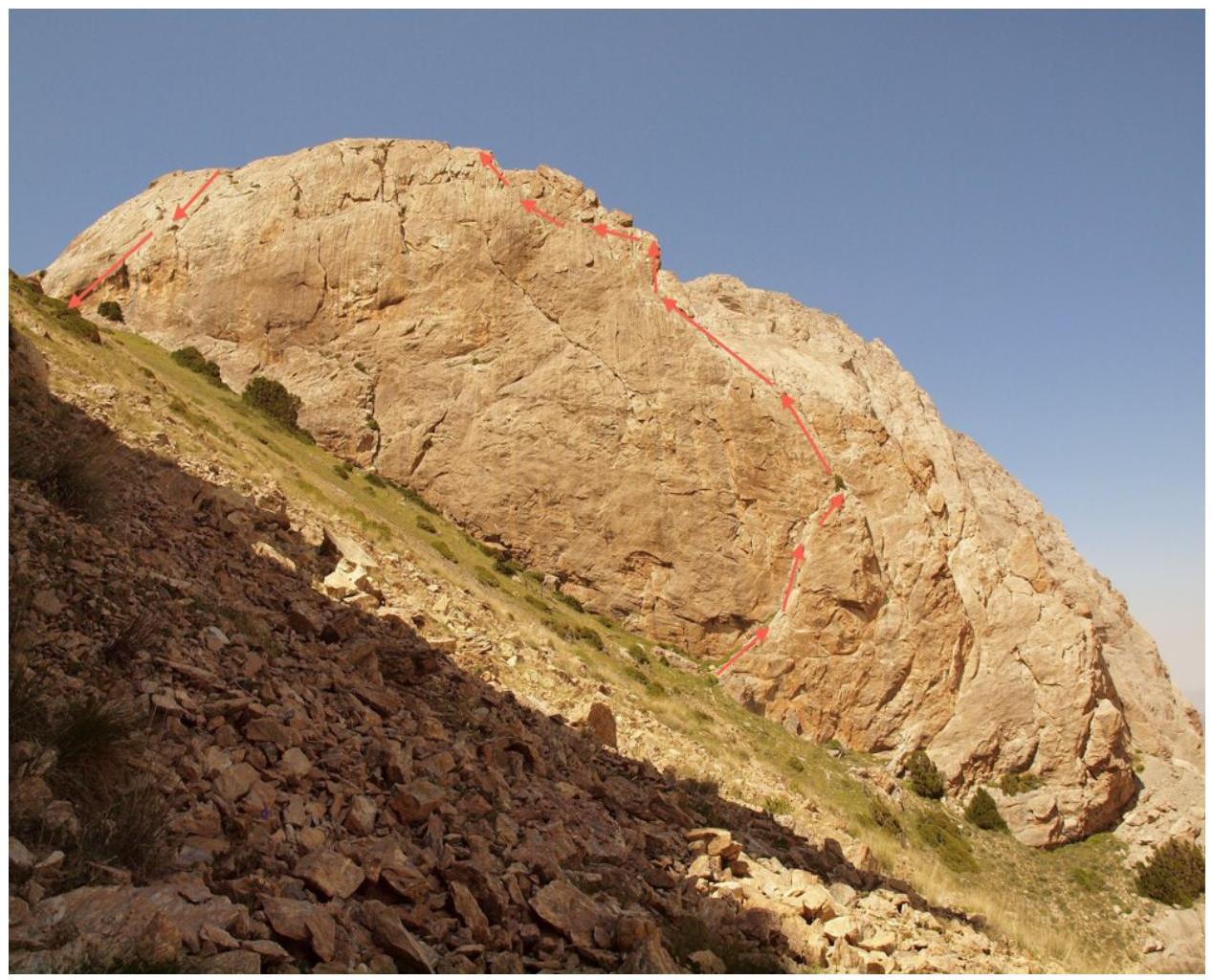
Profile from the left
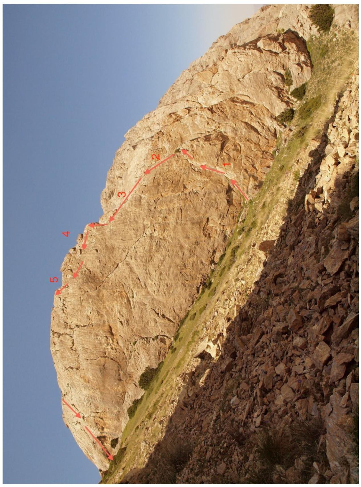
Team's route via E ridge.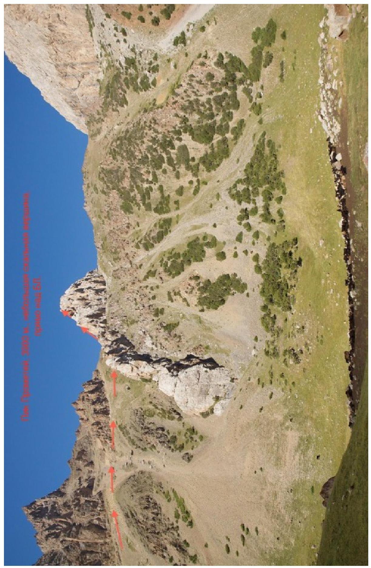
Photo panorama of the area
Photo panorama of the area.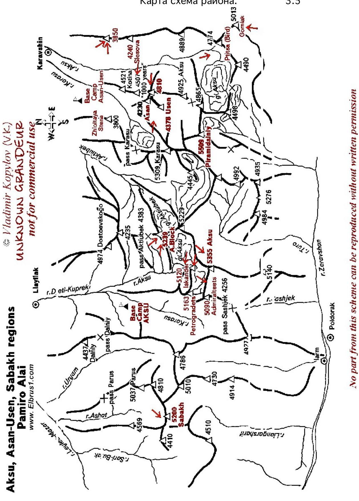
Map of the area
Aksu, Asan-Usen, Sabakh regions Pamiro Alai www.Elbrus1.com↗ © Vladimir Kopylov (V.K.) UNKNOWN GRANDEUR not for commercial use No part from this scheme can be reproduced without written permission
List of sections
| № | Length | Steepness | Terrain type | Category of difficulty | Number of hooks |
|---|---|---|---|---|---|
| 1 | 40 | 70 | chimney | 4 | 4 |
| 2 | 40 | 70 | rocky wall | 5 | 6 |
| 3 | 30 | 40 | ridge | 3 | 2 |
| 4 | 50 | 75 | ridge wall | 5 | 7 |
| 5 | 50 | 65 | traverse under ridge | 5 | 6 |
Further 150 m along the ridge without a rope, through a depression, from which the rappel descent was organized, to the summit.
Technical photo of the route
Route description
Prometheus peak, 3900 m, is located above the 1st expansion of Ashat gorge, to the west of the meadow with a cattle shed. It descends with a rocky counterfort, as if extending a hand and offering to climb it. We started the route via a chimney in the S wall of the E ridge. Overall, the climbing is very pleasant, friction is excellent, rocks are quite sharp.
The route turned out to be short, but requires confident climbing skills, in shoes like for "Ukho" 3B on Mshatka in Crimea, it's not easy to climb (it's not handy :)), rock shoes are needed. And the height is still significant.
A good warm-up route in the area.
Descent: 2 rope lengths rappel 50+20.
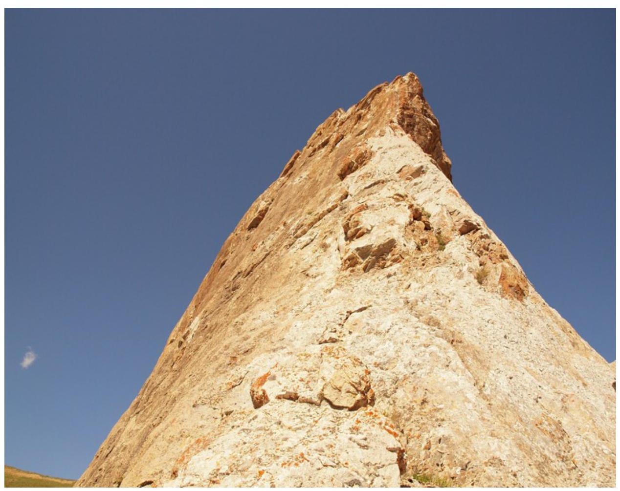
Photo illustration of the report
Start of the ridge, after R2 section.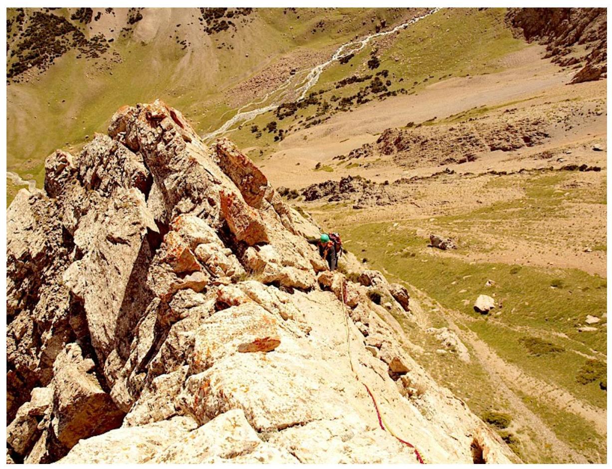
R3 section. Ridge.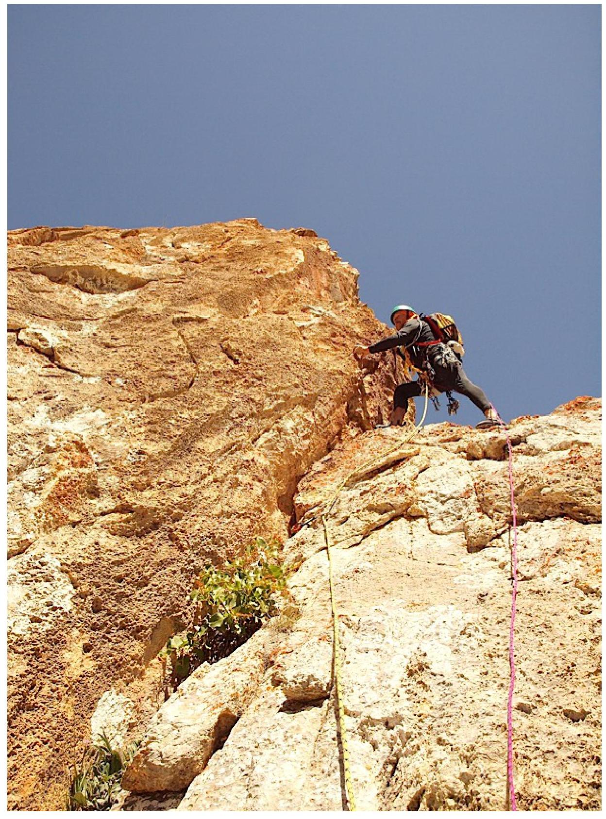
Start of R4 section.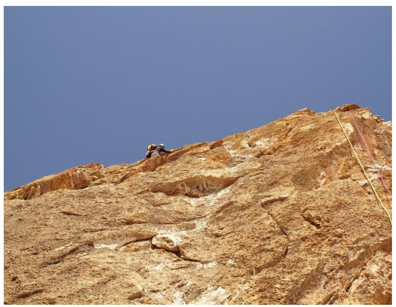
R4 section.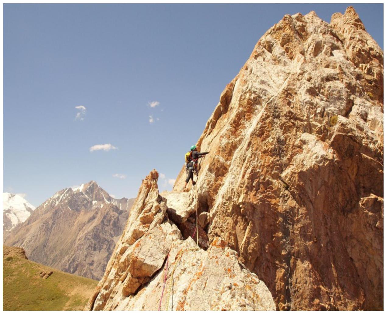
R5 section.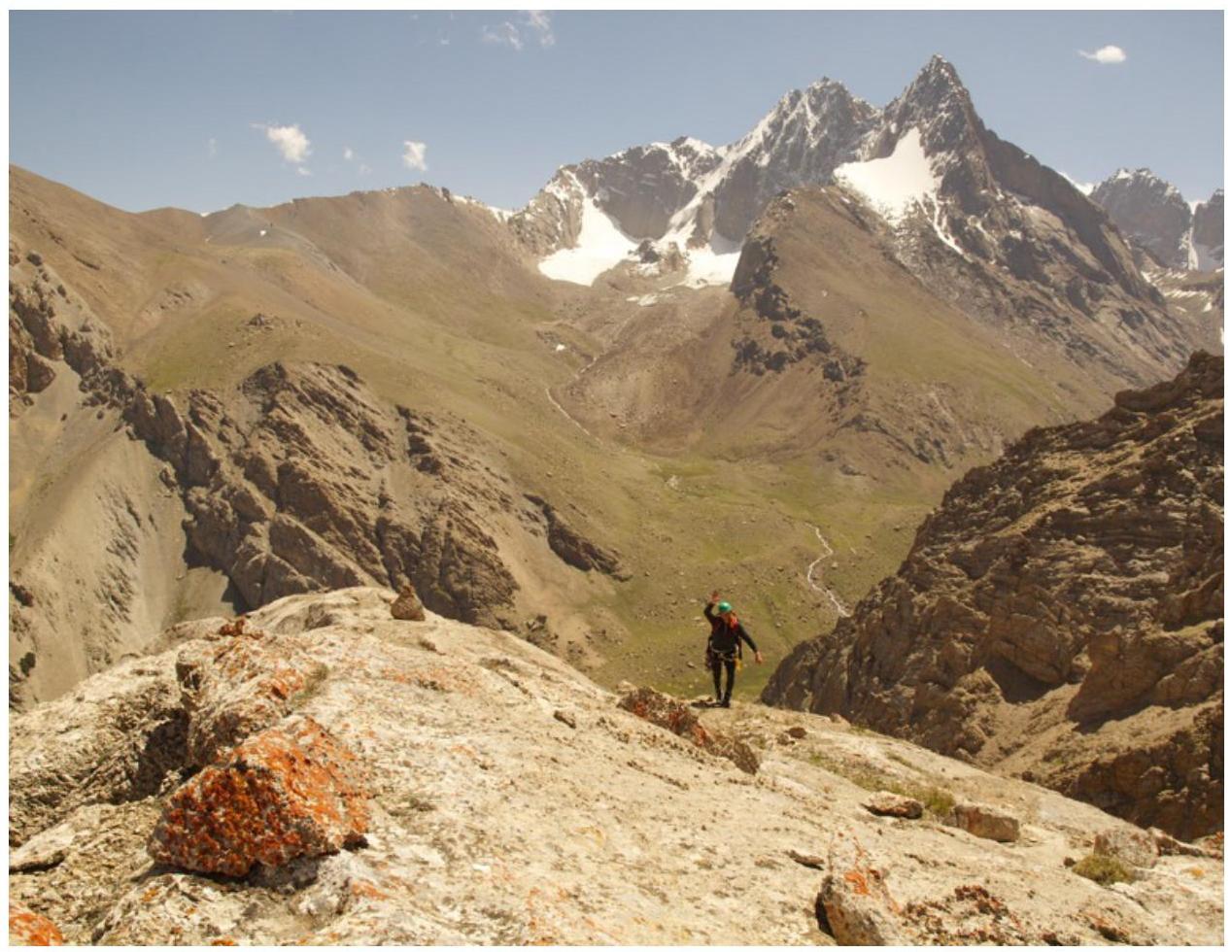
Summit, 3900 m.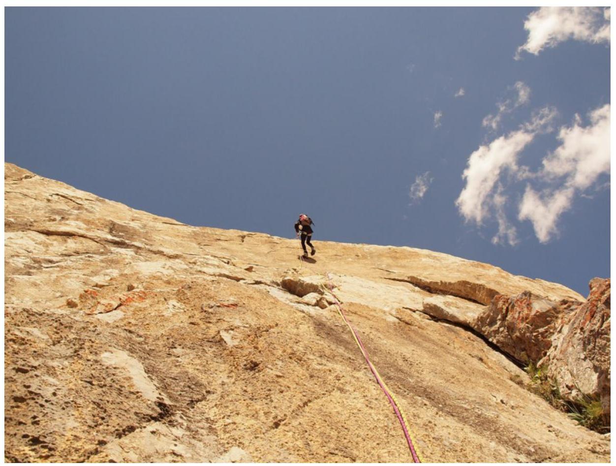
Descent via S wall, to the pass.


