Ascent Passport
- Pamir-Alay, Turkestan ridge, Laylyak gorge, 5.4.2.6.
- Name of the summit: AkSu (N) 5217 m, name of the route:
- Proposed – 6th cat. diff., first ascent.
- Nature of the route: Combined
- Height difference of the route: 1467 m
Route length: 1940 m
Length of sections with R0 cat. diff. – 400 m, R1 cat. diff. – 1155 m
Average steepness of the main part of the route – 73 ° 6. Pitons left on the route: 36; including bolted pitons: 34
Pitons used on the route: Stationary bolted pitons: 25 Including Aids – 15 Removable bolted pitons: 9 Including Aids – 4
Total Aids used: 430 7. Team's travel time: 148 h, 16 days. 8. Team leader: Ilyas Khamidovich Tukhvatullin – Master of Sports of Russia
Team member: Pavel Eduardovich Shabalin – Master of Sports of International Class of Russia 9. Coach: Pavel Eduardovich Shabalin 10. Entry to the route: 9:00 September 20, 2002
Reached the summit: 12:00 October 5, 2002 Returned to Base Camp: 3:30 October 7, 2002
| Section № | Ice Diff. | Pitons | Rock Diff. | Bolted Pitons | Route scheme in UIAA symbols | Length m | Steepness ° | Cat. diff. |
|---|---|---|---|---|---|---|---|---|
| 12 | 9/7 | 5/4 | 2*/1* | 30 | 80 | 6А2 | ||
| 11 | 4/2 | 3/2 | 3*/1* | 20 | 75 | 6А1 | ||
| 10 | 10/7 | 6/4 | 1*/1* | 40 | 75 | 6А1 | ||
| 9 | 8/3 | 4/3 | 1* | 35 | 80 | 6А1 | ||
| 8 | 6 | 3 | 1* | September 22, 2002 | 4020 m | 35 | 80 | |
| 7 | 10/8 | 5/3 | 1* | 40 | 90 | 6А2 | ||
| 6 | 6/5 | 5/5 | 3* | 25 | 80 | 6А1 | ||
| 5 | 10/10 | 8/7 | 1* | 35 | 80 | 6А2 | ||
| 4 | 13/10 | 9/8 | 1*/1* | September 21, 2002 | 40 | 85 | 6А2 | |
| 3 | 3 | 1 | 2 | 1 | 3870 m | 45 | 60 | |
| 2 | 2 | 4 | 4 | 50 | 70 | 5 | ||
| 1 | 9 | 80 | 50 | 3–6 | ||||
| 0 | 3750 m | |||||||
| Section № | Ice Diff. | Pitons | Rock Diff. | Bolted Pitons | Route scheme in UIAA symbols | Length m | Steepness ° | Cat. diff. |
| :--: | :-------: | :--: | :--: | :--: | :--: | :--: | :--: | :--: |
| 23 | 5 | 7/5 | 6/5 | 3* | September 25, 2002 | 4540 m | 40 | 85 |
| 22 | 2 | 10/9 | 7/7 | 40 | 90 | 6А1 | ||
| 21 | 3 | 5/3 | 5/3 | 40 | 80 | 6А1 | ||
| 20 | 4 | 3 | 5 | September 24, 2002 | 4400 m | 35 | 80 | |
| 19 | 4 | 4 | 4 | 1* | 45 | 70 | 6 | |
| 18 | 6 | 45 | 60 | 4 | ||||
| 17 | 5 | 2 | 1* | 40 | 70 | 5 | ||
| 16 | 3 | 5/4 | 5/3 | 2*/2* | 50 | 75 | 6А1 | |
| 15 | 4 | 4 | 6 | 1* | 45 | 75 | 5 | |
| 14 | 2 | 8/6 | 4/3 | 1*/1* | 40 | 80 | 6А1 | |
| 13 | 9/6 | 6/6 | 1*/1* | September 23, 2002 | 4180 m | 40 | 85 | |
| Section № | Ice Diff. | Pitons | Rock Diff. | Bolted Pitons | Route scheme in UIAA symbols | Length m | Steepness ° | Cat. diff. |
| :--: | :--: | :--: | :--: | :--: | :--: | :--: | :--: | :--: |
| 34 | 16/13 | 8/7 | 1 | 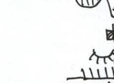 | 50 | 80 | 6А3 | |
| 33 | 28/24 | 5/4 | 1/1 |  | 50 | 85 | 6А3 | |
| 32 | 17/17 | 9/9 | 1/1 | 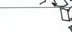 | 4800 m | 30 | 90 | |
| 31 | 1 | 19/19 | 12/12 | 1/1 |  | 50 | 85 | 6А3 |
| 30 | 12/12 | 5/5 |  | 4720 m | 35 | 90 | ||
| 29 | 3 | 5/5 | 6/5 |  | 25 | 80 | 6А3 | |
| 28 | 2 | 16/13 | 8/6 | 1* |  | 4650 m | 50 | 75 |
| 27 | 19/17 | 10/8 | 3*/1* | 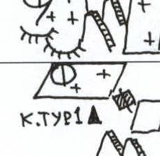 | 45 | 90 | 6А2 | |
| 26 | 5 | 1* | 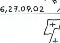 | 40 | 70 | 5 | ||
| 25 | 6 |  | 45 | 70 | 5 | |||
| 24 | 7 |  | 45 | 75 | 5 | |||
| Section № | Ice Diff. | Pitons | Rock Diff. | Bolted Pitons | Route scheme in UIAA symbols | Length m | Steepness ° | Cat. diff. |
| :--: | :--: | :--: | :--: | :--: | :--: | :--: | :--: | :--: |
| 43 | 3 | 2 | 3 | October 5, 2002 | 5217 m | 200 | 3–4 | |
| 42 | 5 | 1 | 45 | 50 | 3 | |||
| 41 | 3 | 3 | 4 | 1 | October 4, 2002 | 5160 m | 45 | 65 |
| 40 | 5 | 6 | 45 | 70 | 5 | |||
| 39 | 6 | 4/3 | 4/2 | October 3, 2002 | 45 | 70 | 5А1 | |
| 38 | 2 | 10/7 | 5/4 | 5060 m | 45 | 75 | 6А1 | |
| 37 | 20/20 | 4/4 |  | 50 | 90 | 6А2–4 | ||
| 36 | 18/18 | 6/5 | 1/1 | 45 | 90 | 6А4 | ||
| 35 | 24/24 | 4/4 | 2/2 |  | 4900 m | 50 | 90 |
Chaplińskiego M-T 1988 Command M-T 2002 Popova M-T 1986 Shabalina and «Nos» «Cold angle» — descent. BL.
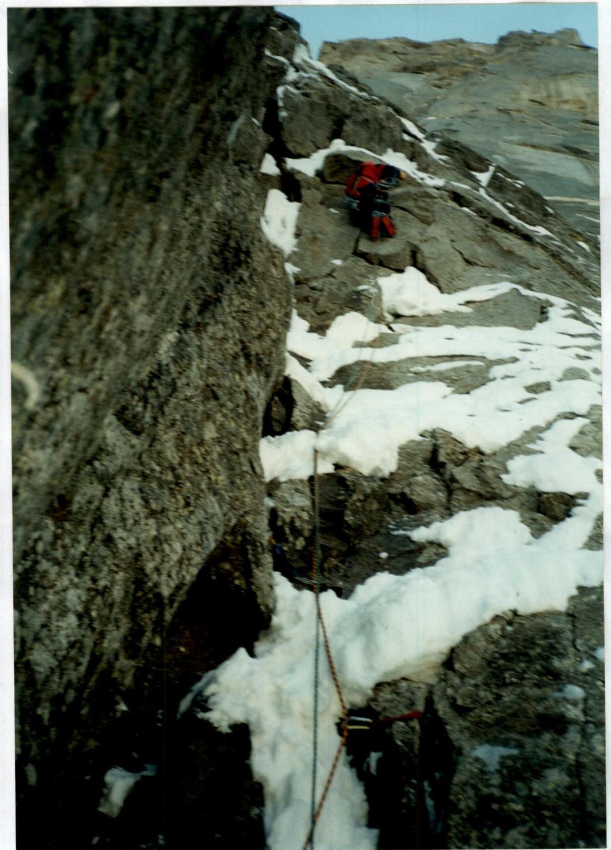
Photographs of route sections
Section №8
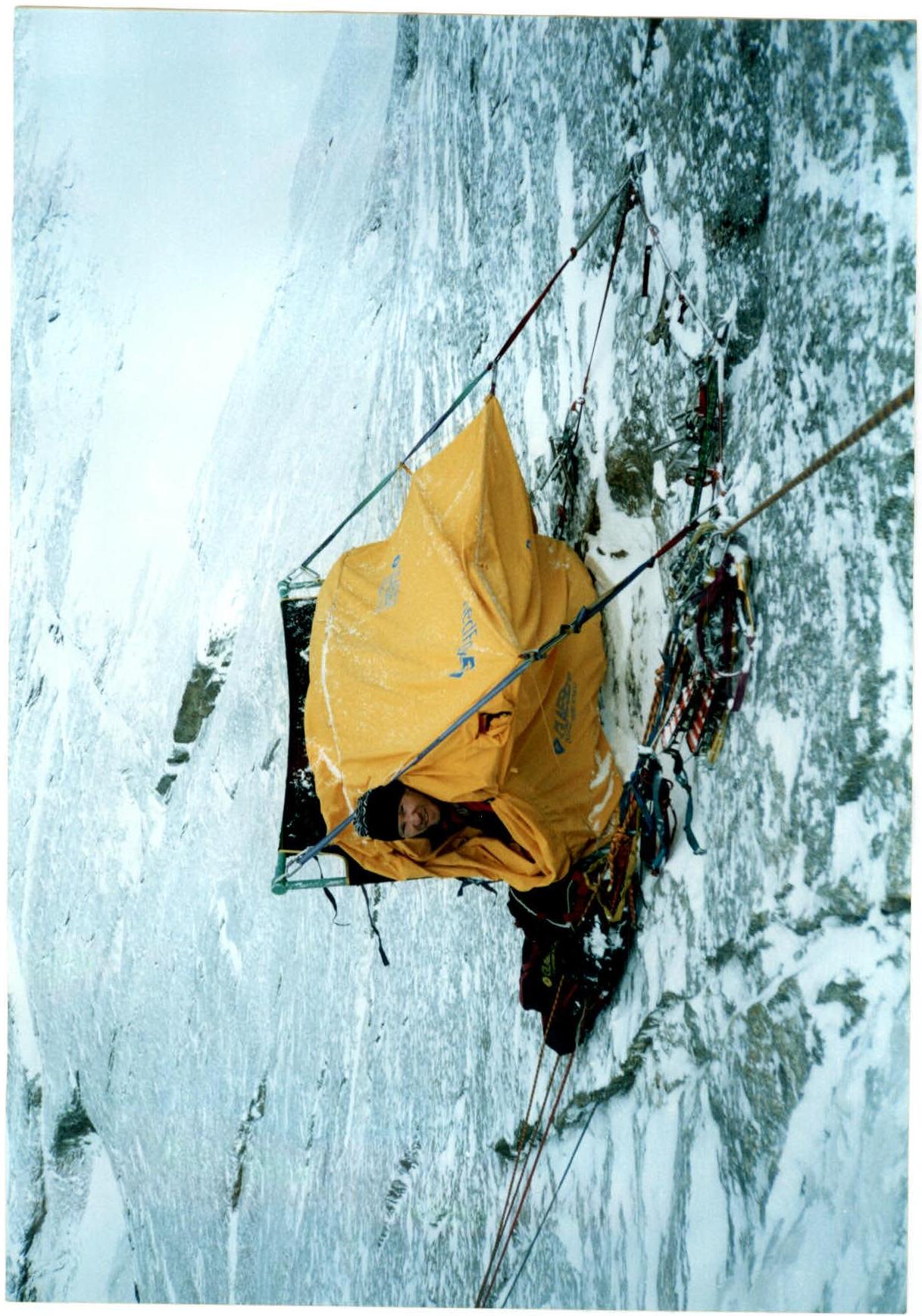 Photo №1
Overnight stay September 23, 2002
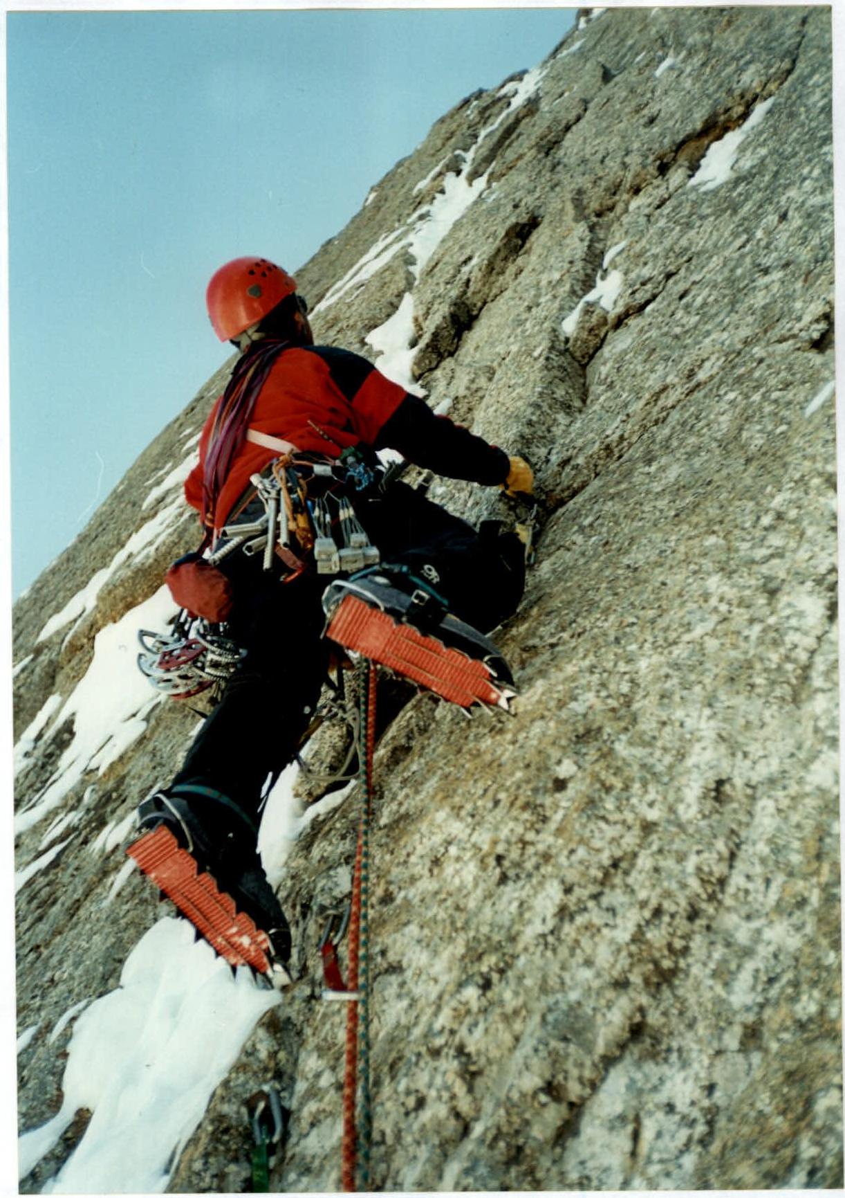 Photo №2
Section №21
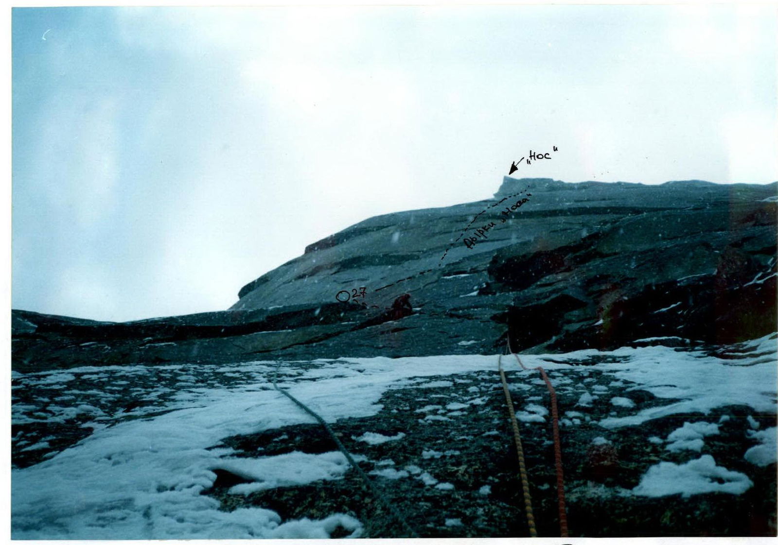 Photo №3
Section №27
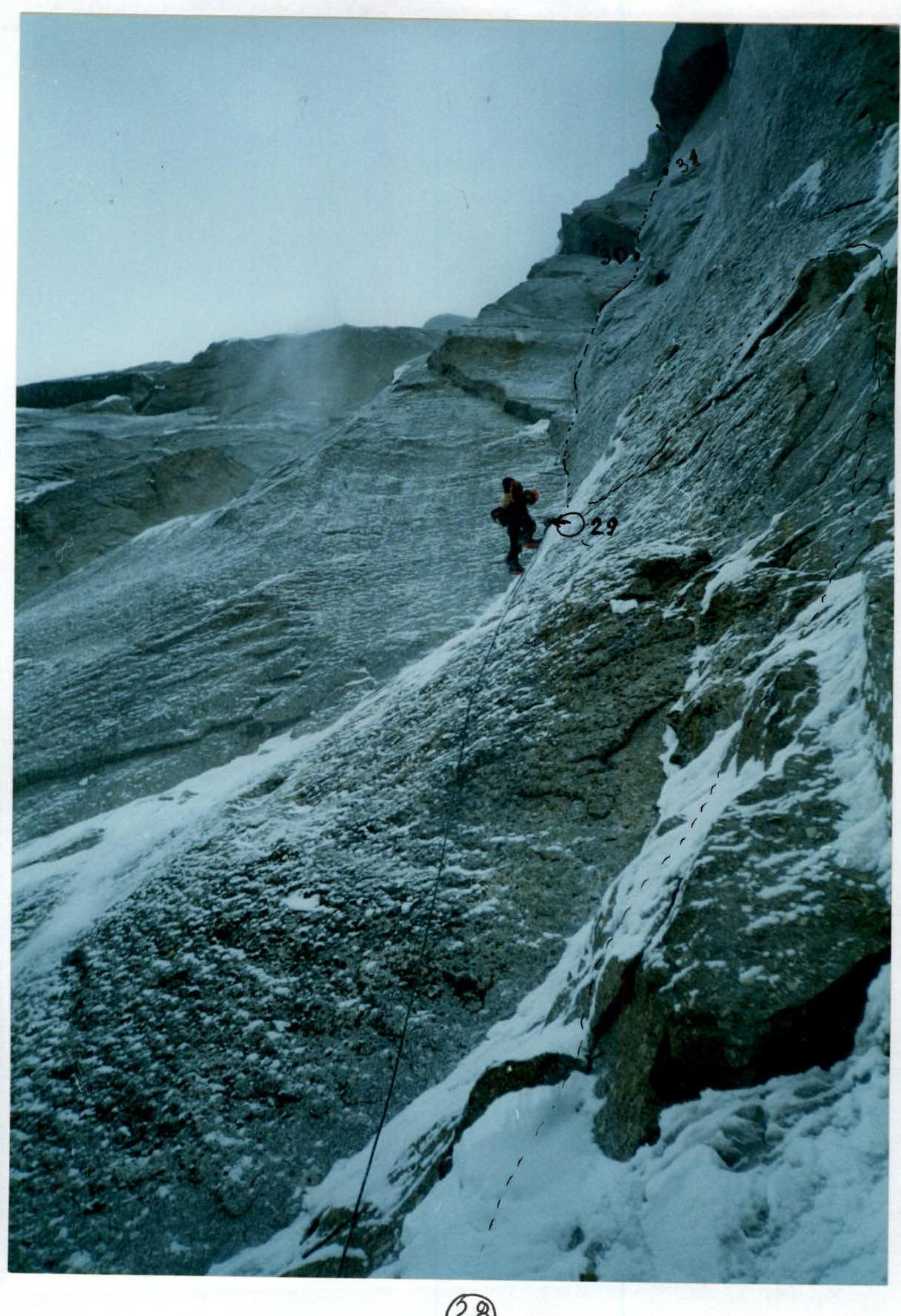 Photo №4
Sections R28–R31
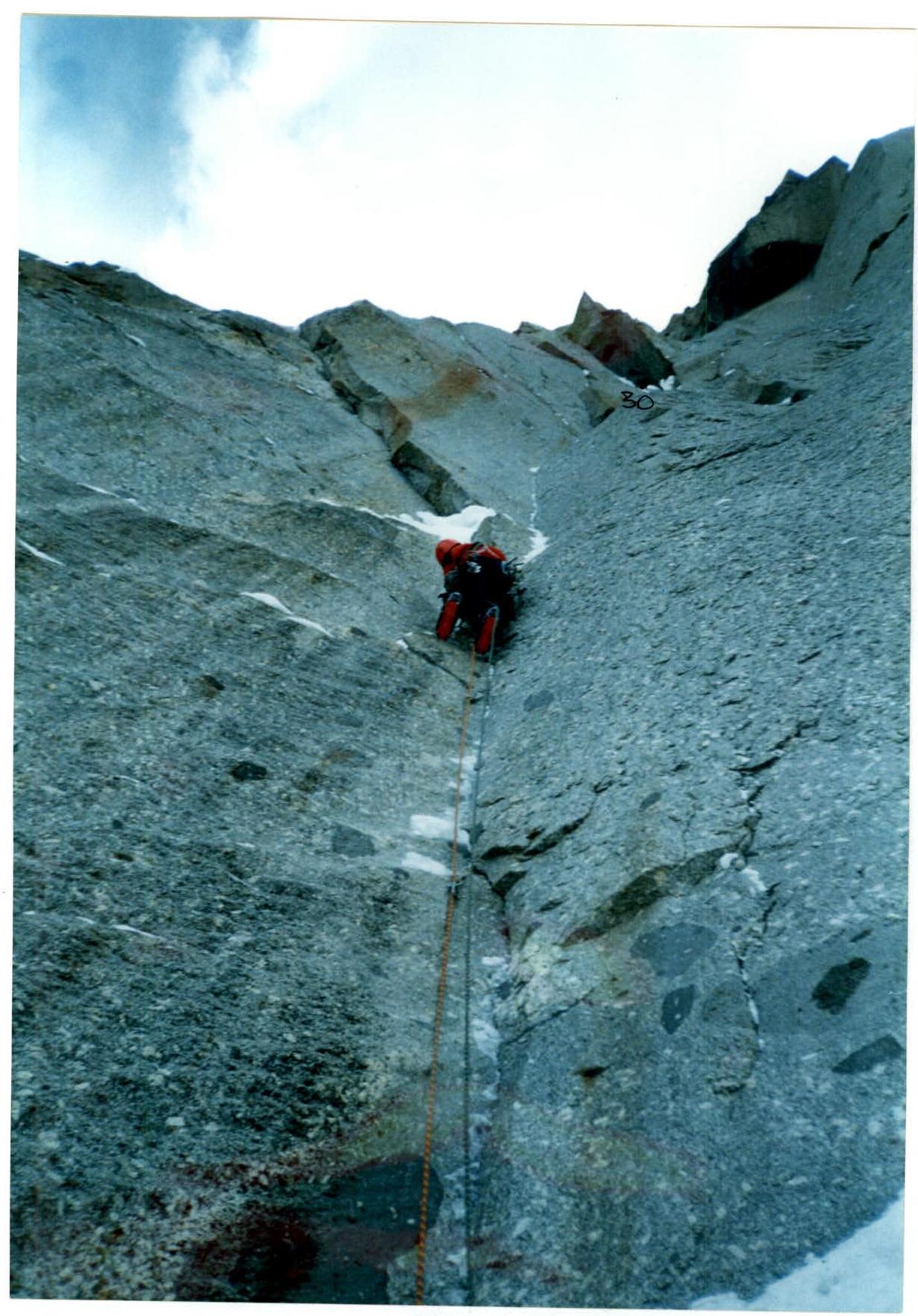 Photo №5
Section R30
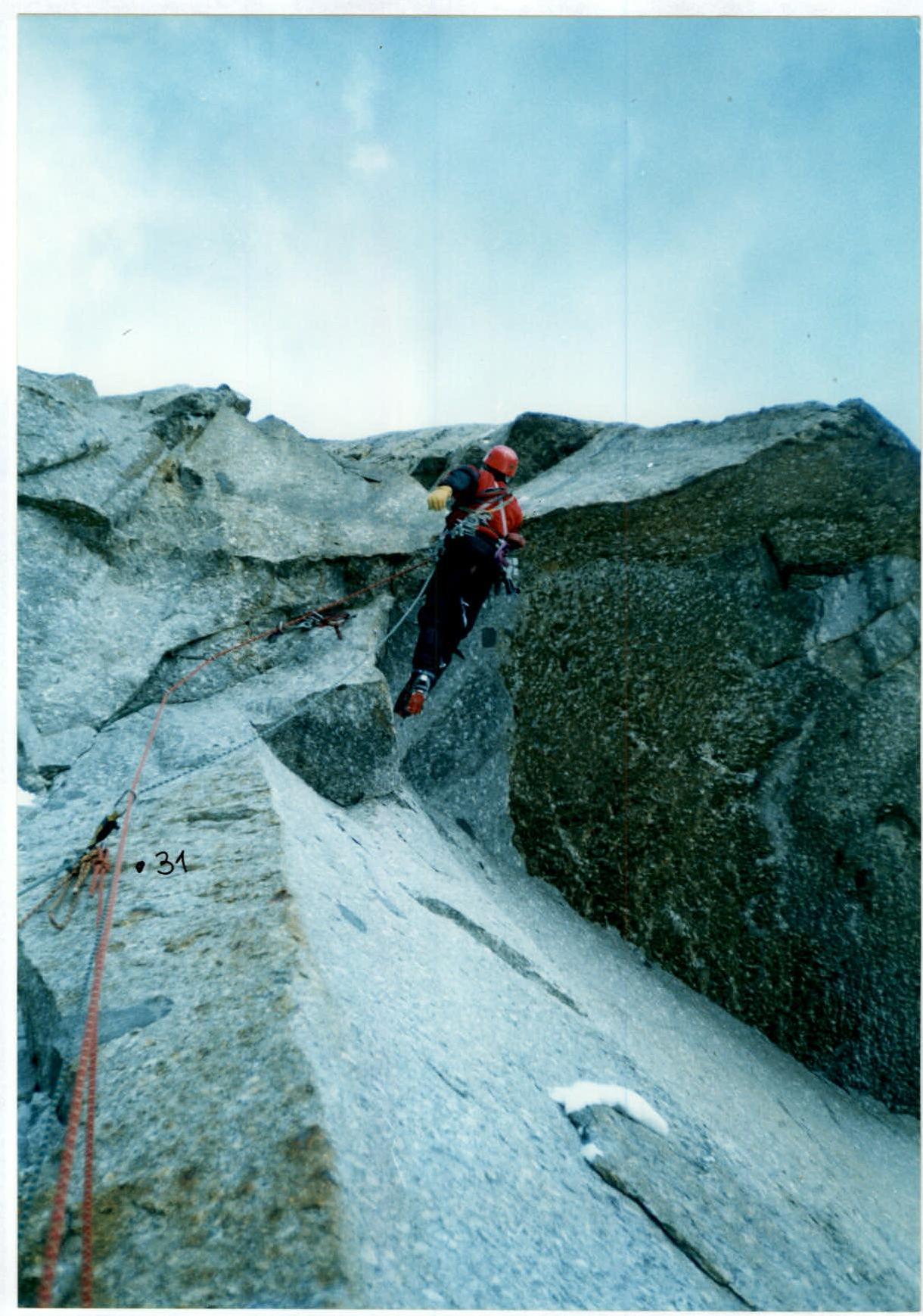 Photo №6
Passage of section A5 (№32)
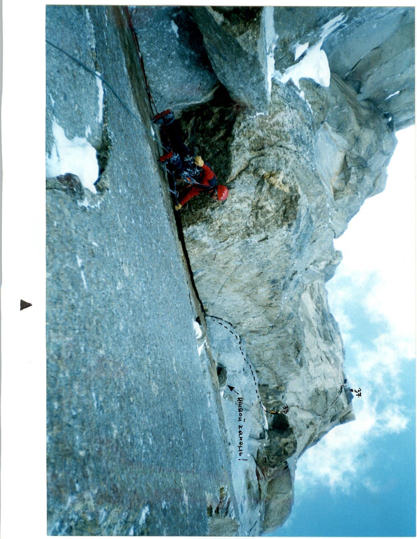 Photo №9
Sections R33–R37
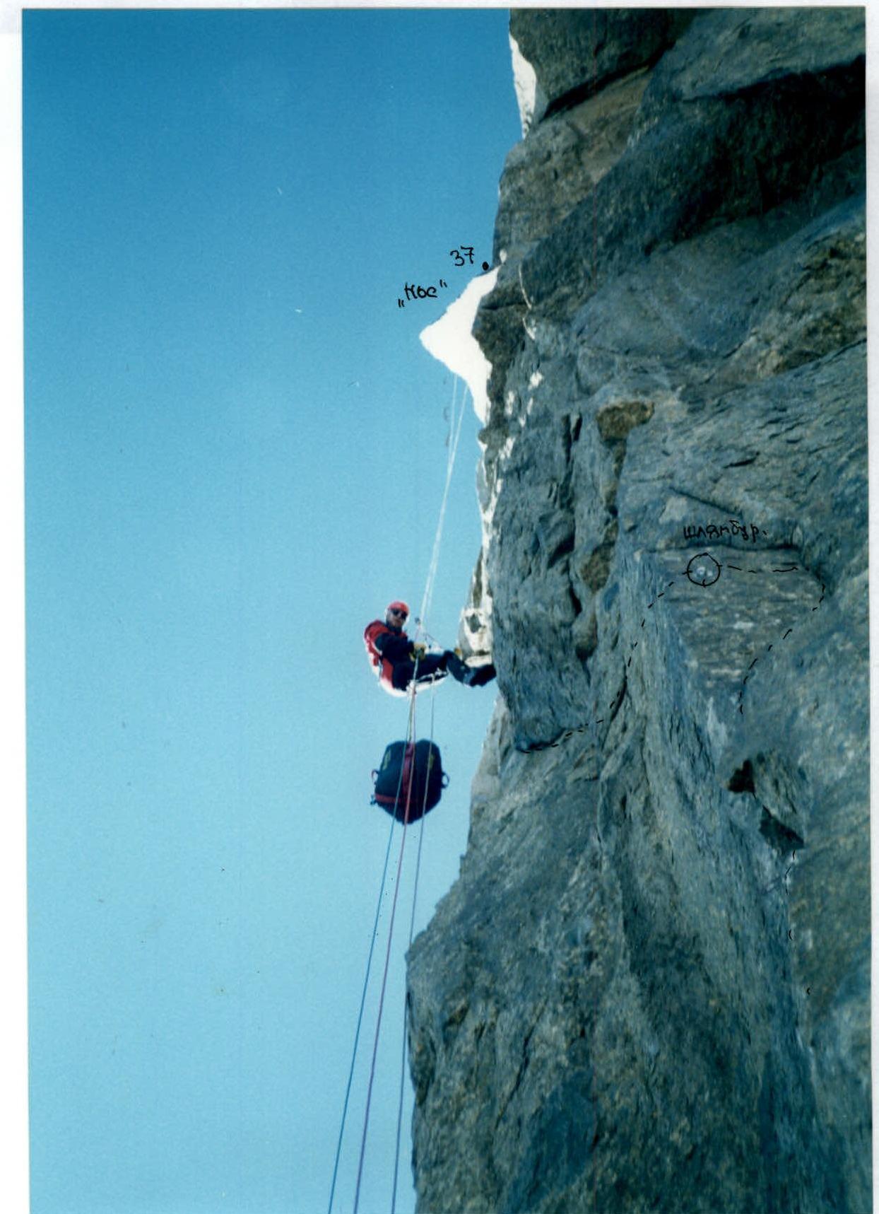 Photo №10
Section R37
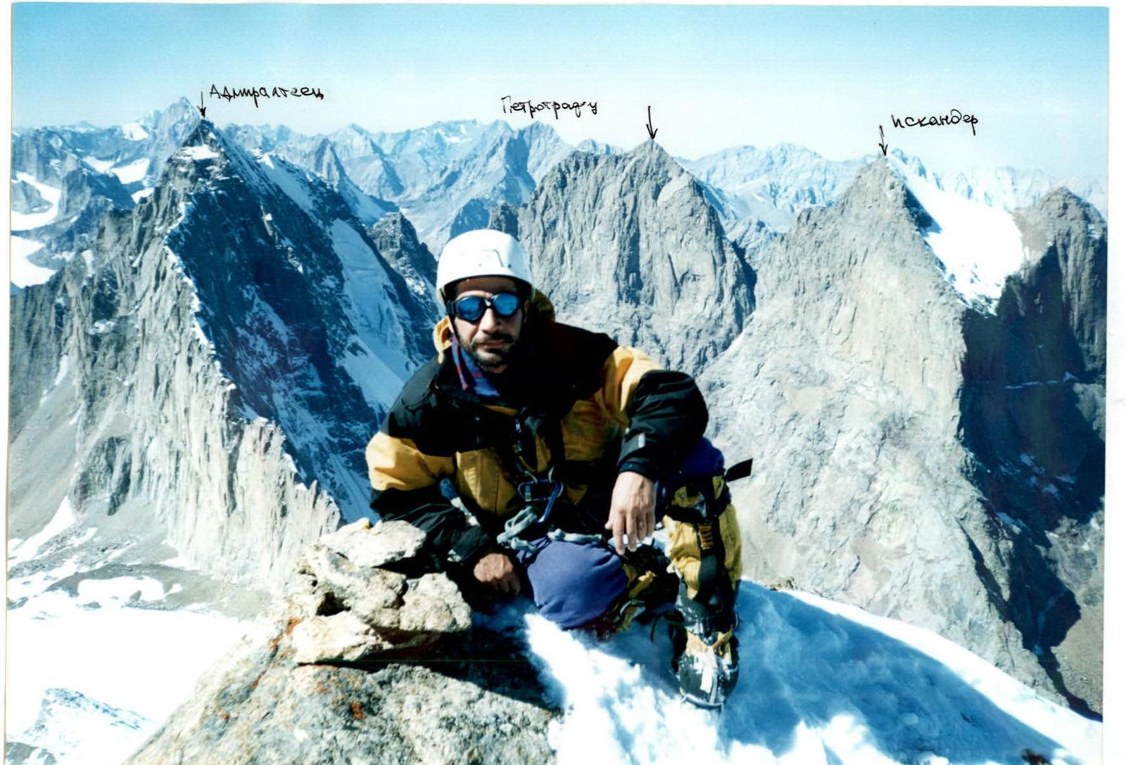 Photo №11
Summit
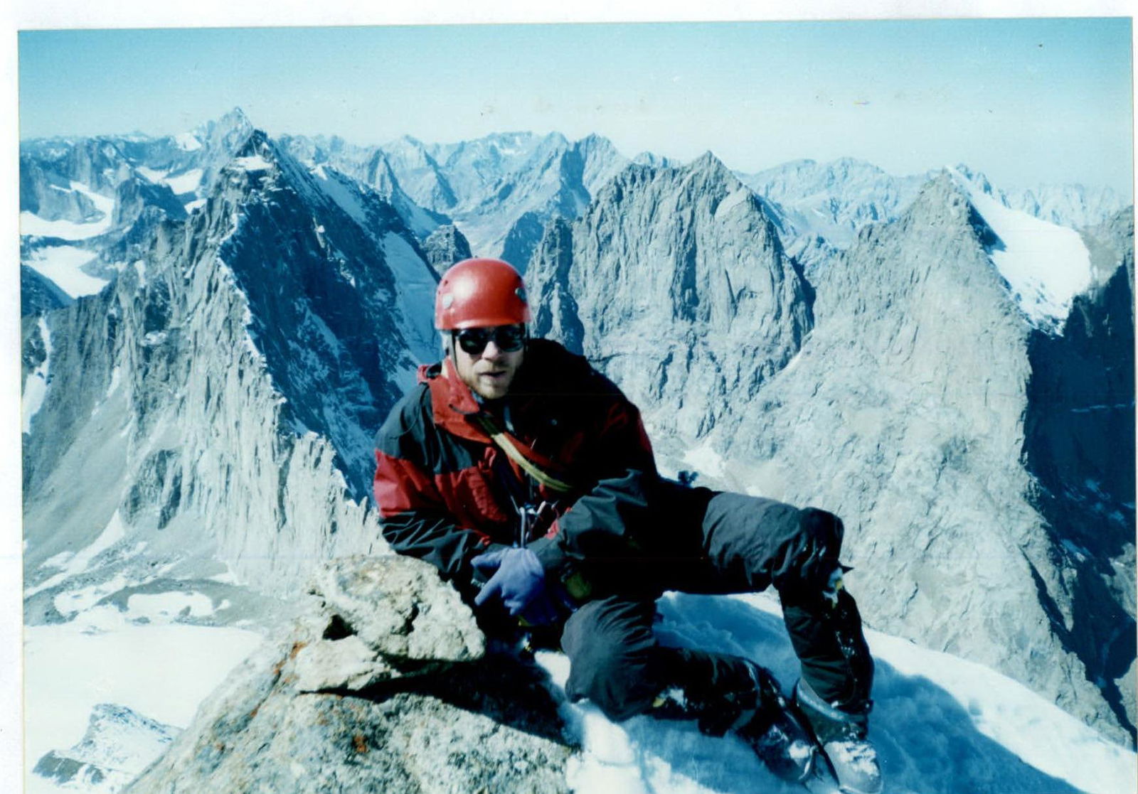 Photo №12. Summit. K. Tur.
Summit
 Photo №13. Summit
Route features and team actions
The idea of a new route emerged during the ascent on Popov's route in 1998. The fact is that from below, even with optics, it is very difficult to discern the system of angles and cracks, because the left part of the «Nos» is actually seen in profile, unlike the right part, where the threads of Klenov, Ruchkin, Chapliński are laid.
Back then, in 1998, having looked around the corner, we saw a logical path going around the «Nos» holes literally one rope to the left. The declared Popov's route and the atrocious weather did not allow us to make an attempt then, and the last two years the area was generally closed due to military actions. Information about the opening of the area reached us at the end of summer, which led to late ascent dates.
Popov's route passes through well-disected relief 30–70 m to the left of ours and leads to the ridge 4 ropes from the summit. The peculiarity of this year's route is that along with monolithic cracks filled with ice, rotten areas are often found. The difficulty is determined precisely by the icy cracks and unreliable belays. As a consequence, constant movement on artificial aids, 50% on fitholds. Most likely, there are the same problems in summer, because the left part of the «Nos» is practically not lit by the sun (N-E orientation). At the same time, the condition of the lower part (up to the «Cross») is very good. There is no problem of summer afternoon rain – nothing melts at the end of September. In terms of safety, the condition is ideal – all stones are frozen, the wall is practically clean after summer. The daylight hours are a bit shorter and it's quite cold at night, but it doesn't cause serious problems.
Being absolutely alone in the area, we had to rely only on ourselves in any situation. Therefore, due to a solid supply of fuel, food, and an extremely attentive style of ascent, the pace was low. The first climber went on a double rope, the second with a cowtail and a platform climbed on jumars. The second cowtail was pulled in parallel through a block-pulley.
As a result, after 16 days of ascent, the route closest to the «Nos» edge was completed without resorting to drilling, leading directly to the summit. The fastest and safest descent option to date (for autumn-winter): — the «Cold angle» route, reinforced for descent with pitons. The belay stations of the classic descent along the eastern ridge may be unreliable.
Due to the large amount of artificial climbing and constant presence in pitons, there was a compression of blood vessels in the legs, which after ten days of ascent could no longer be restored during periods of sleep and rest. Therefore, after returning home, I spent three weeks in the hospital for treatment. This is the reason for the delay in the report. We ask you to consider the report for review by the Judiciary Board of the 2002 Russian Alpinism Championship.
P. E. Shabalin
Team coach.