ASCENT DOCUMENT
- Climbing category — combined
- Climbing area — Tian-Shan, Kungey Alatau ridge
- Peak — DEMON, height — 3980 m, route — via Eastern wall, COMBINED
- Estimated difficulty category — 4A
- Route characteristics — height difference — 550 m — average steepness — 65° — sections of 5th difficulty category — 110 m
- Pitons hammered — for belaying — 32, for creating I.T.O. — none — rock — 32, ice — none, bolt — none
- Nights on the route — none
- Number of climbing hours — 8
- Group composition Ganyalin V.A. — Candidate for Master of Sports, leader Bergman S.P. — Master of Sports, participant Budilkov D.I. — 1st sports category Baltser G.G. — unranked
- Team coach
- Date of departure on the route and ascent July 7, 1981
TABLE OF MAIN CHARACTERISTICS OF THE ASCENT ROUTE

| Date | Designation | Average steepness in degrees | Length in meters | Route character | Diffi-culty | Condition | Weather | Pitons (rock / ice / bolt) |
|---|---|---|---|---|---|---|---|---|
| 7.07 | O–1 | 45 | 120 m | snow slope | 2 | dense, wet snow | clear | through ice axe |
| 1981 | R1–R2 | 50 | 10 m | rock ledge | 3 | loose rocks | «-» | 2 / – / – |
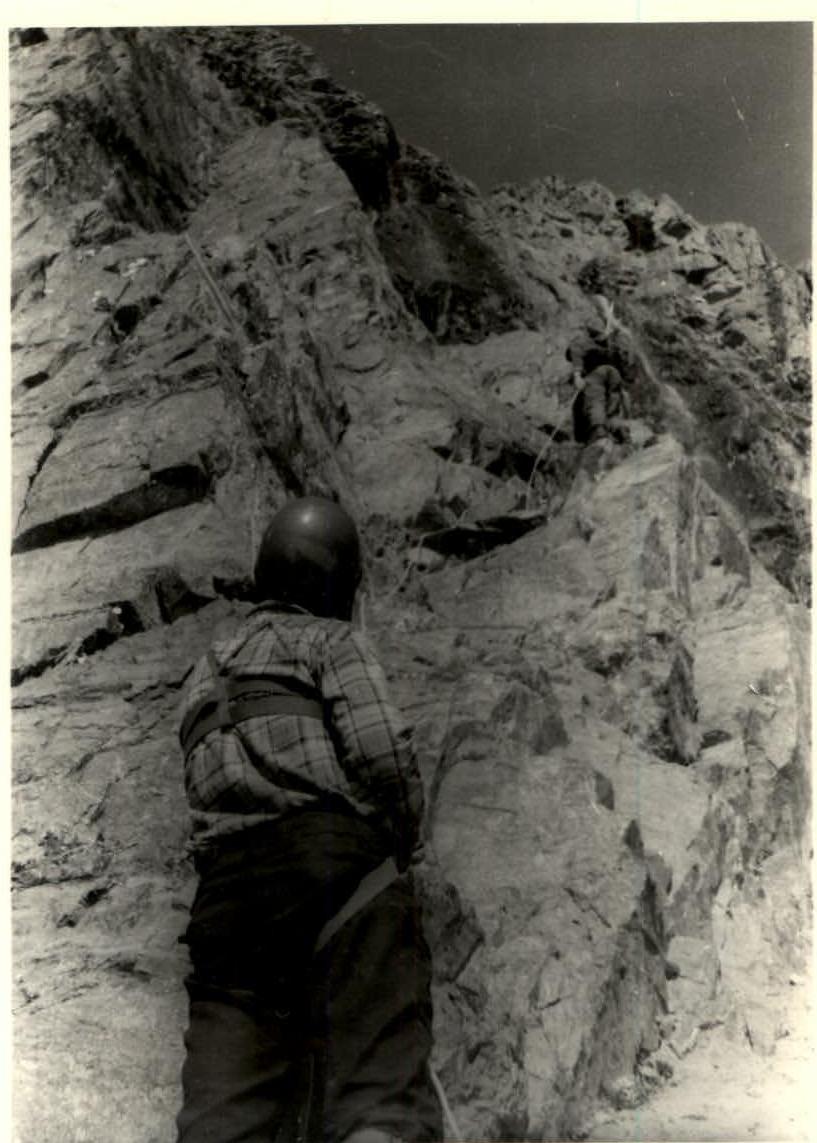
| R2–R3 | 70 | 35 m | rock wall with inner corner in upper part | 4 | broken rocks | «-» | 3 / – / – | |
| R3–R4 | 80 | 40 m | inner corner | 5 | loose rocks | «-» | 5 / – / – | |
| R4–R5 | 45 | 40 m | rock ridge | 3 | solid rocks | «-» | 2 / – / – | |
| R5–R6 | 45 | 20 m | snow slope | 2 | wet, dense snow | «-» | through ice axe | |
| R6–R7 | 60 | 10 m | rock wall | 4 | solid rocks | «-» | 1 / – / – | |
| R7–R8 | 65 | 100 m | rock ridge | 4 | solid rocks | «-» | 5 / – / – | |
| R8–R9 | 60 | 10 m | rock wall | 4 | solid rocks (traverse) | «-» | 1 / – / – | |
| R9–R10 | 65 | 40 m | inner corner | 4 | solid rocks | «-» | 2 / – / – | |
| R10–R11 | 50 | 50 m | snow slope | 3 | slushy snow | «-» | through ice axe | |
| R11–R12 | 85 | 6 m | wall | 5 | broken rocks | «-» | 1 / – / – | |
| R12–R13 | 70 | 40 m | couloir with a cork | 4 | flowed ice | «-» | 3 / – / – | |
| R13–R14 | 75 | 80 m | rock edge | 4–5 | monolith | «-» | 7 / – / – | |
| R14–R15 | 30 | 40 m | rock ridge | 2 | solid rocks | «-» | ledges |
Section R2–R3
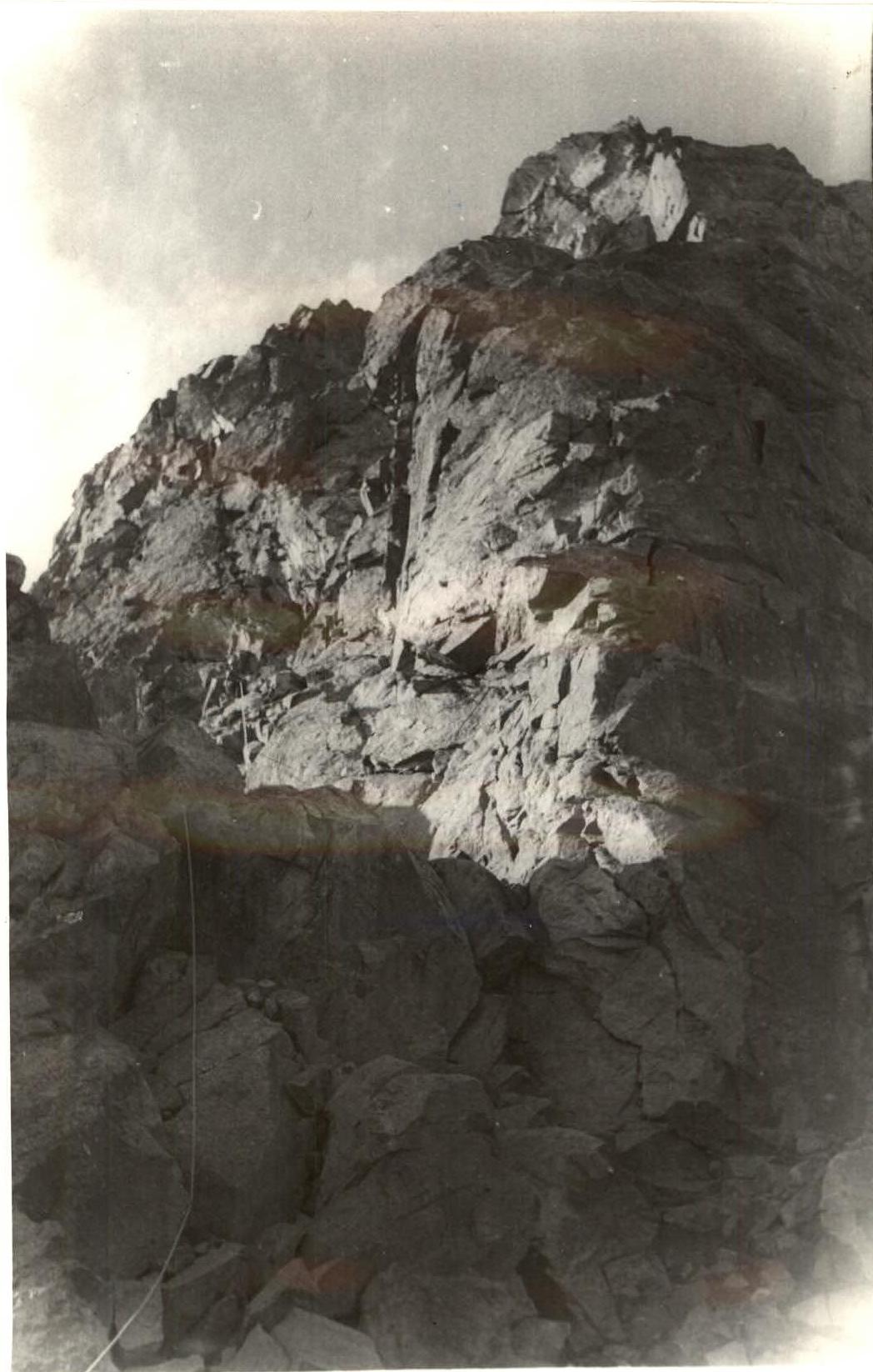
Section R7–R8
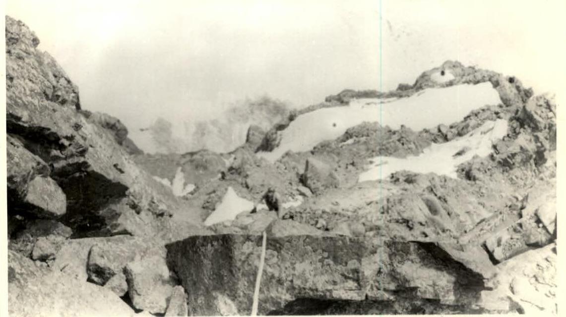
Descent from the summit