Description of the First Ascent to the summit of Beliy Pik from the Southeast (approx. Category III difficulty) (Alaarchinsky spur of Kyrgyz Ala-Too)
The first ascent was made on July 21, 1968, by two groups of Leningrad climbers from the base camp at the confluence of the Alamedin and Jyndy-su rivers.
Group Composition: Kheysin D.E. (leader), MS Koltsov A.I. (leader), Naryshkin B. 1st sports category, Mikheev L.N. 1st sports category, Fedorenko Yu. 1st sports category, Yakovlev Yu.G. 1st sports category, Yakovlev Yu.V. 1st sports category.
Brief Geographical Description and General Route Characteristics
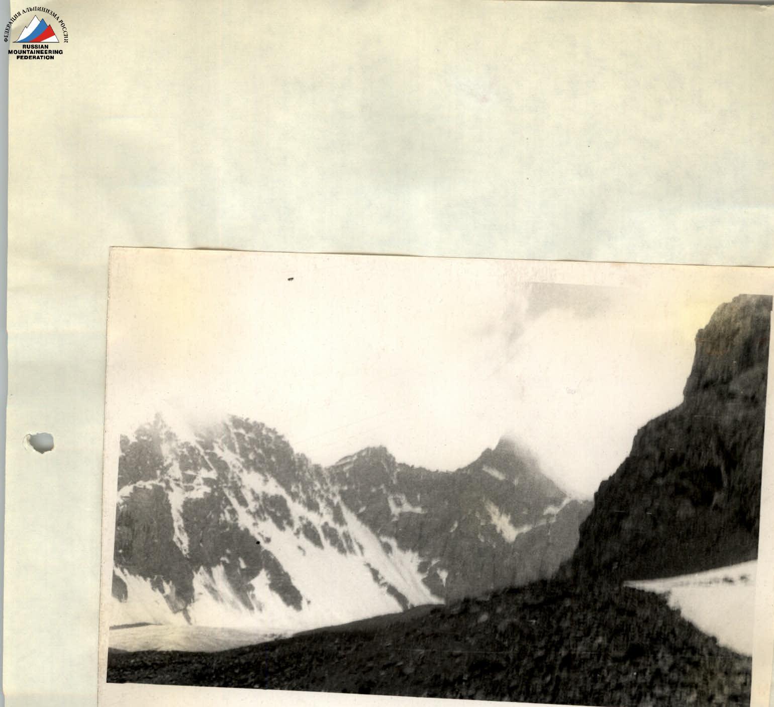
The summit of Beliy Pik is located east of Lermontov Peak on the same spur, which bounds the Dzhindy-su valley to the south. The ridges extending from the summit to the east and southeast descend towards the Alamedin valley and bound the Kок-zoo valley and glacier (name taken from Marechek's map). The route is snow and ice with short rock sections. The height of Beliy Pik is 4650 m.
Route Description
From the base camp, follow the right (here and further along the route) bank of the Alamedin River (trail) up to the first lateral valley on the right (hanging valley) (40 min). Turn right and ascend steeply up the scree, and after the inflection, continue up the moraines to the gentle tongue of the Kok-zoo glacier, where the river is hidden by moraines. Cross the center of the open glacier to a narrow, steep icefall between rocky spurs (4 hours); overnight stay on the right moraine.
Ascend the gentle part of the icefall to the right, almost reaching the rocky wall. Then move left upwards to a wide crevasse. Follow the bottom of the crevasse, which is filled with ice blocks, to the right and upwards under the seracs, overcoming individual crevasses and ice walls. Two ice screws were placed (3 hours). Above the icefall, in the upper cirque, lies a flat, closed glacier. To the right, a wide snow couloir is visible, leading to the ridge east of Beliy Pik. To the left, a steeper snow and ice couloir joins it, leading to the summit dome. This couloir is ascended on its left side. Belay using ice screws and rock outcrops. Between two rocky outcrops, exit via a steep ice slope onto the edge of the ice dome of the summit. Continue along the edge to the left to reach the summit (1 rope length, cornice to the left) (7 hours from the upper cirque). The summit is a snowy area with a cornice on the southeast. The cairn is built on a rocky outcrop 20 m below the summit (left of the ascent route).
The descent (rappel) was made in bad weather via the ascent route and took 4 hours. Overnight stay in the upper cirque. A total of 8 ice screws were placed, one of which was left behind.
The descent through the icefall took 2 hours. Two ice screws were placed, one of which was left behind (the icefall should be traversed early in the morning). Both groups rated the route as Category III difficulty.
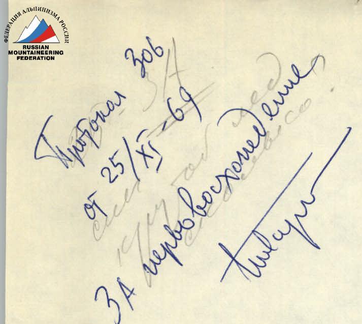
Group Leaders June 19, 1969

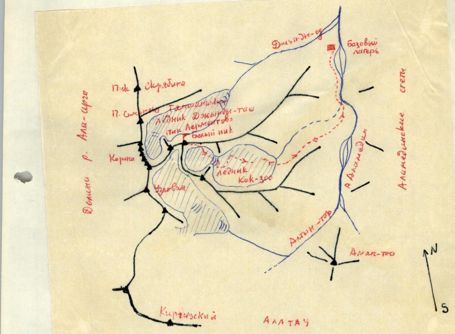
Map of the Ascent Area