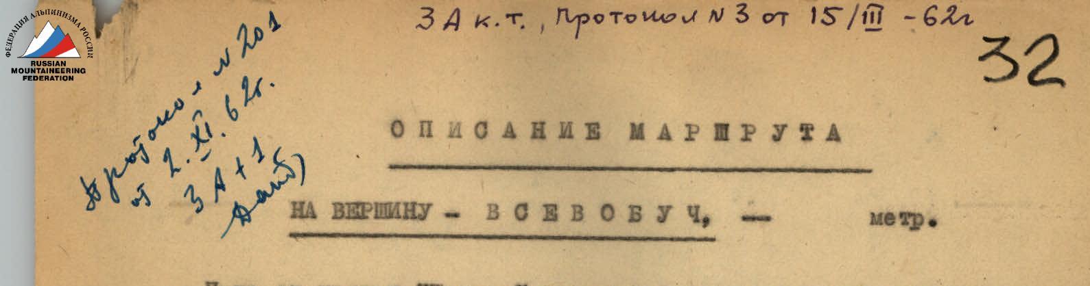
Approved by Climbing and Tactics Committee, Protocol #3 dated March 15, 1961 Complexity category: 3A+1
Route Description to the Summit of VSEVOBUCH
The path from the "Talgar" camp goes up the gorge, through the Zelyonaya Polyana and the Burovoy Pass. It takes 7 hours to walk from the camp to the foot of the Burovoy Pass. The ascent to the pass goes along a couloir. After the pass, one should bypass the TUVVO peak from the right and descend to the southeastern branch of the Korzhenevsky Glacier. The route goes through snow and talus. There is a platform convenient for a bivouac at the lower part of the moraine. The night stay is organized here.
From the bivouac site, cross the glacier and reach the foot of the VSEVOBUCH peak in 30–50 minutes. It is necessary to move across the glacier in rope teams (due to crevasses along the way).
The ascent to the summit starts along a firn slope with a steepness of up to 35–40°, and a length of about 150 m. Then the slope steepness increases to 60–70° and continues for up to 70 m. After this section, the slope gradually becomes less steep, down to 35–40°. Next, one needs to reach a rocky outcrop (see diagram) via a steep ice slope with a steepness of up to 60°. Movement is done with alternate belay using the front teeth of crampons.
Four ice screws were driven in up to the first rocky outcrop where the first control cairn is built. The further path goes along a firn-ice slope, about 100 m long, with a steepness of up to 30–40°, with belay using ice screws and rock outcrops. While ascending the slope, move to the right side of the ridge, before a clearly visible gendarme. Then continue ascending along the ice slope with a steepness of up to 40°, along the rocky ridge, leaving it on the left. Belay is done using ice screws.
It is also possible to go along the rocky, heavily destroyed ridge. Future climbers should be warned that moving to the left of the ridge is dangerous - the slope drops steeply in the form of ice falls with cornices along the edges. The second cairn is built at the exit to the pre-summit ridge. Up to this point, 12 ice screws were driven. Time taken from the bivouac – 8 hours.
The first segment of the further path is an ice slope with a steepness of up to 40°, and a length of up to 200 m. To the left, the slope drops with cornices. Belay is done using ice screws and rock outcrops. During further movement along the ridge, a large gendarme is bypassed on the left along a steep ice slope, up to 20 m long and with a steepness of up to 60°. Belay is done using outcrops on the ridge. Then, along the ridge, reach the rocky pre-summit where crampons can be removed. There are 20 m of easy path left to the summit, with almost no ascent. The entire path along the ridge takes 2–2.5 hours.
Descent from the summit is possible by two options: towards the saddle between the VSEVOBUCH and Isyktynychu peaks and along a loose couloir. It is also possible to descend via the ascent route. The most convenient and recommended by the first ascenders is the descent to the saddle, which goes along a firn slope that is not difficult. From the saddle, descend along an ice slope with a steepness of up to 40° and a length of up to 200 m. The entire descent takes 1–2 hours.
A group of 4 people requires 12–14 hours to complete this route. 16 ice screws were driven.
The first ascent to the summit of VSEVOBUCH was made on August 25, 1961, by a group consisting of:
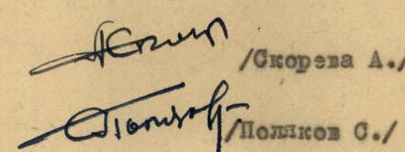
- Skoreva A.P. - junior instructor, 1st category
- Polyakov S.M. - 2nd category mountaineer