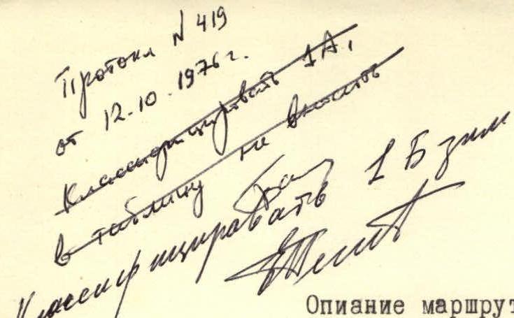
 ROUTE DESCRIPTION
to the summit of Borus via the N ridge, cat. 1B difficulty
(Western Sayan, Borus Ridge)
ROUTE DESCRIPTION
to the summit of Borus via the N ridge, cat. 1B difficulty
(Western Sayan, Borus Ridge)
 VIEW OF BORUS SUMMIT FROM THE BASE CAMP
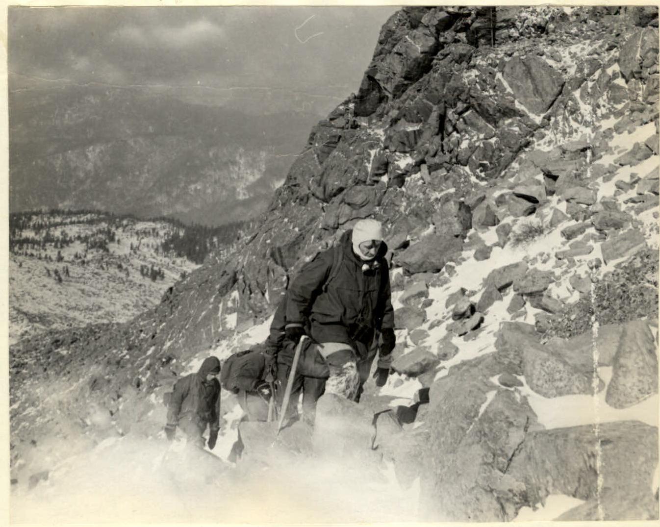 ASCENT TO OBSERVATION POINT
 CHARACTER OF THE ROCK ON THE R1 SECTION
Route Description
The summit of Borus (2318 m) is located in the eastern part of the Borus Ridge in the Western Sayan Mountains, 6-7 hours walk from the settlement of Sayano-Shushenskaya HPP builders, Cheremushki.
The base camp is situated at the forest boundary (1350 m) on the shore of a small mountain lake.
The route begins with an ascent up the northern slope of an elevation in the northern ridge, 20-30 minutes walk from the camp. The elevation is called Observation Point (200 m). After Observation Point, there is a descent to a ridge saddle with a loss of 70 m in height. Further movement is along the ridge:
- Initially, the ridge is wide, then it narrows
- Covered with large fragmental rock debris (locally known as kurumnik)
- The debris gradually turns into rocks
- Difficult sections are bypassed on the right
Section R1 is traversed using rope protection (40 m). Then, via gentle snow-covered ledges, there is an exit onto the snow-covered ridge, which steeply drops off to the right (section R2). Further movement is along easy rocks. The pre-summit part is scree with large stones in the upper section. The exit to the summit is along the southern side of the summit ridge.
The descent from the summit is via the western ridge through the summit of Maly Borus. The ridge is heavily destroyed. Further movement is across an elevated plateau separating the cirques of Borus and Peak Koshurnikov.
The time required to complete the route is 7-8 hours. Ascent is 950 m. The route meets the requirements of cat. 1B difficulty from October 1 to May 25.
Equipment:
- Standard equipment of a first-stage training group
- Without crampons
The ascent was made on May 9, 1976, by a group of 39 people under the guidance of Yu. Emelyanenko.
Description compiled by V. Skidan.