
Ascent Passport
- Ascent category — rock climbing
- Region — Eastern Sayan, Baruun-Khandagai
- Peak 2676 m via NE ridge from Snezhnij pass
- Assumed — first ascent, category III complexity
- Route characteristics:
- elevation gain — 376 m.
- total length 550 m.
- length of sections with 5th category difficulty — 80 m, 4th category — 130 m, 3rd category — 40 m, 1st category — 300 m.
- average slope: entire route — 60°.
6. Equipment used on the route:
- chocks — 12,
- pitons — 3,
- including for artificial climbing aids — 3,
- left behind — 0.
- Total climbing hours — 11
- Team composition:
- Leader: Katanaev Stanislav Yur'evich — 1st sports category
- Participant: Zhigalov Aleksandr Vladimirovich — 1st sports category
9. Team coach:
- Obednin Konstantin Aleksandrovich
- Dates:
- Departure to the route October 19, 2012, 7:00
- Summit — 13:30
- Return — 18:00
- Organized by: Krasnoyarsk City Federation of Alpinism, as part of the training gatherings Baruun-Khandagai 2012. General photo of the route
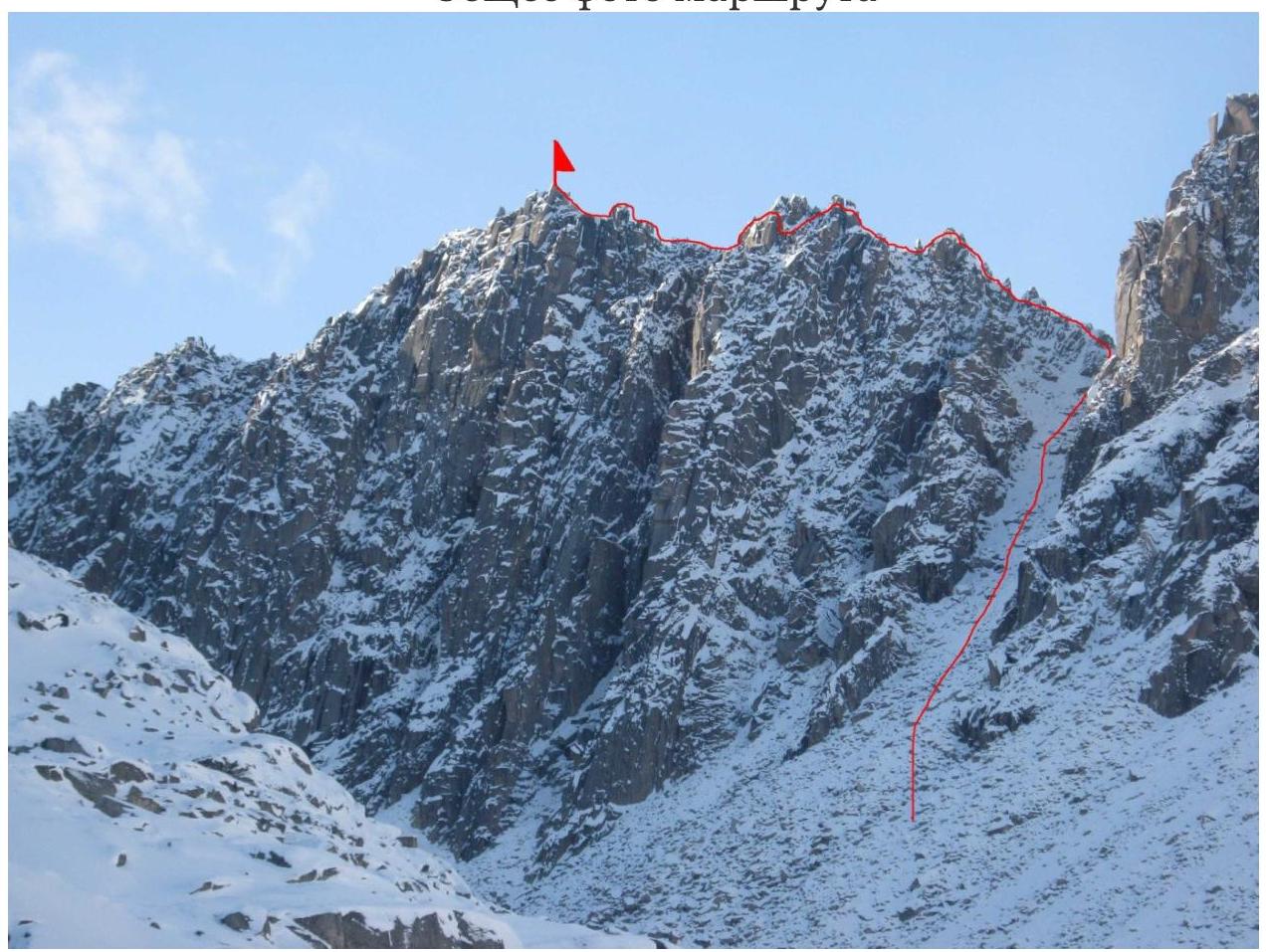
UIAA Scheme

Scheme 1. UIAA Scheme.
Route Description
R0–R1. The route starts from the upper lake. The first section is a talus slope, which narrows and gradually turns into a couloir. Movement is simultaneous. The slope's steepness is 20–30°, gradually increasing as you ascend. Exit to the pass.
R1–R2. From the pass, left along the ridge to the first jagged peaks. Alternating protection.
R2–R3. We bypass the first "saw-like" jagged peak from the left, following the ledges. Station is behind a small chimney.
R3–R4. The ridge continues with "saw-like" jagged peaks. We bypass them in the same manner, on the left via ledges. Station is on a convenient large ledge.
R4–R5. Through an inner corner to the top of the jagged peak.
R5–R6. The key section of the route. Descend 10 m under the "Mukhboxka". A large stone lying on the destroyed ridge. Complex climbing along the ridge. At the end, an overhanging wall with a crack. Many loose rocks.
R6–R7. From the station, right along the ridge through a wall — a complex chimney with an exit via a "coil" to the summit. A cairn is built in a depression on the summit boulder.
Descent is via climbing down the ascent route.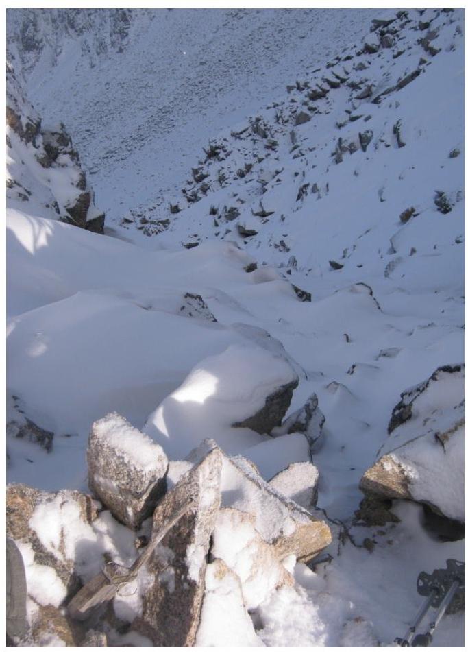
Section
R0–R1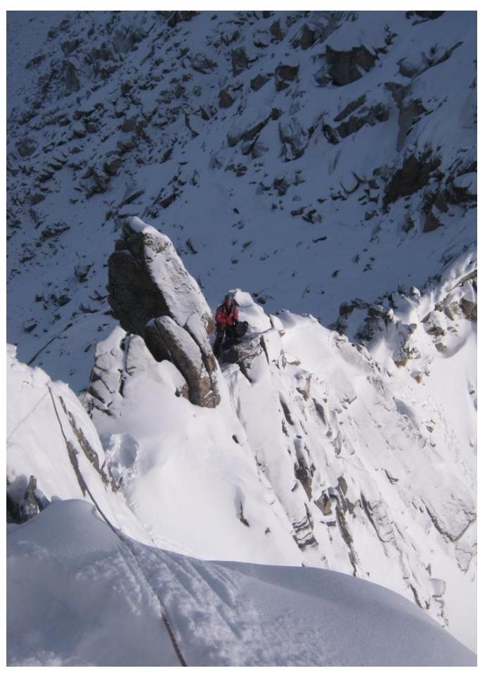 Passage of
section
R1–R2
Passage of
section
R1–R2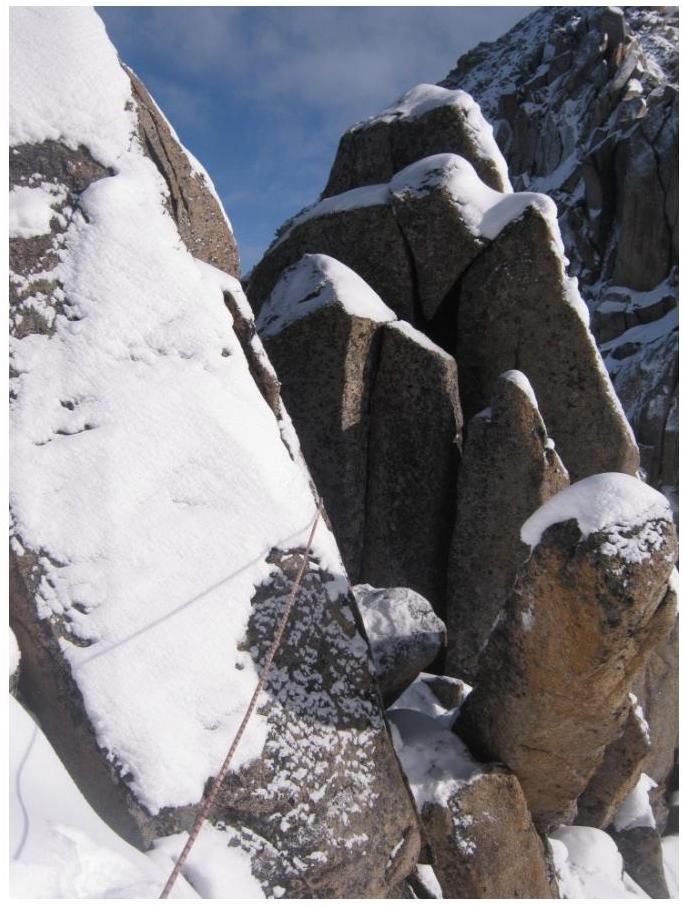
Section R3–R4