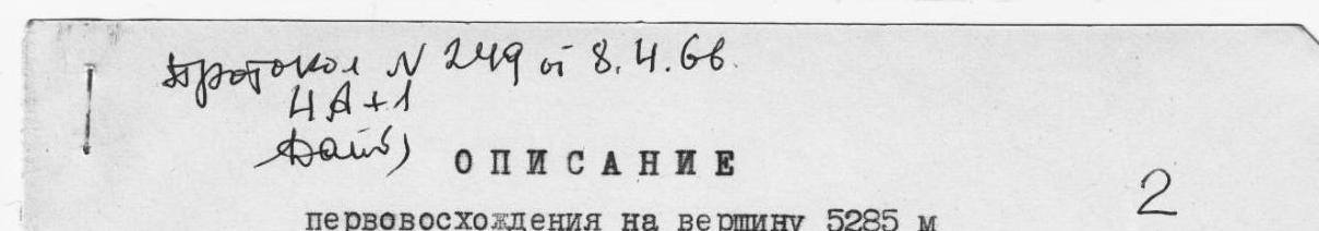
Protocol № 249 dated April 8, 1966
Cat. diff. 4A
Description of the first ascent to the summit 5285 m (Peak Akыk-Too)
The summit 5285 m is located in the western part of the main Trans-Alay range, at the junction with the ridge where Peak Sverdlova is situated.
The ascent was made from the intermediate camp at 3800 m of the Sverdlovsk Jubilee expedition. The intermediate base camp at 3800 m was located on an old moraine covered with grass, near a small lake, in the upper reaches of the Kok-Kyik valley.
The path from the 3800 m camp goes along the left (orographically) bank of the Kok-Kyik river across a grassy slope. After 40–50 minutes of walking, there is an exit onto scree, and it is necessary to turn right, bypassing the spurs of Peak Kuznetsova. After an hour and a half to two hours of walking, it is necessary to cross the ridge coming from the summit 5150 m (Peak Metallurgov Urala). Overcoming the ridge takes 20–30 minutes. Behind the ridge begins a flat black lateral moraine (orographically left of the Kok-Kyik river), which leads almost under the route. On the flat moraine, it is not difficult to find a convenient area for tents. Elevation 4200 m.
The entire approach from the 3800 m camp takes 3–4 hours. The approach to the wall occurs across a closed glacier. Closer to the wall, it is necessary to walk between avalanche deposits. One or two rope lengths before the wall, a bergschrund is encountered, which is overcome via a snow bridge. Further up the ice-snow slope, we exit with belay under the beginning of the rock section.
The ascent begins at the boundary of the reddish wall with black rocks (like roches moutonnées) on the left. Up a sloping ledge to the right upwards 10–15 m, then the movement goes left upwards along an inclined shelf 170 m (75°) for 25 m. At the top, the shelf ends with an outer corner. There is a small area for one person.
From the area, the ascent goes up a crack (7 m), which turns into a not very wide chimney (12 m), the steepness of the section is 80–85°. The chimney leads to an area where 6–8 people can stand, and there is 1 control cairn on the area.
From the control cairn, the ascent goes straight up along the internal corner (8–10 m), then traversing left - exit to the outer corner and ascent along it 20–25 m to a black sloping shelf going left upwards, from which it is necessary to move to the right, traversing a complex slab-like part of the wall - 20 m - to the chimney.
The chimney widens upwards and is closed by a plug in the upper part. The length of the chimney is 20–25 m. At the base of the chimney, there is a small area where backpacks can be placed and two people can stand.
The exit from the chimney is between two characteristic reddish outcrops. The first outcrop ends the central, not very pronounced outer corner, which goes from the very base of the wall. By going around the upper outcrop along a crack filled with flow ice, it is necessary to climb onto it with two people and exit under a rock overhang.
Next, it is necessary to overcome the rock overhang, the lower part of which is smooth; for this, one person needs to stand on the shoulders of another. To the left of the overhang, a crack is visible, but it leads to a smooth sheer wall, so from the overhang, it is necessary to move to the right. Above the overhanging section, there are good handholds, but to hammer in a piton, it is necessary to go 5–6 m along monolithic rocks with a steepness of 60°, into which the rock overhang turns.
15 m from the overhang, a 10-meter sheer wall is encountered, covered with flow ice. To pass the wall, pitons are needed to create artificial footholds.
The wall leads to a small area. At this section:
- backpacks are pulled out,
- ropes are hung for the remaining participants.
On the area, a 2nd control cairn is built.
From the area, along a not very wide (20–30 cm) inclined shelf, it is necessary to go around a large black "tooth" on the left, which is clearly visible from the glacier. After 8–10 m, the shelf bends to the right, and at this point, the rocks overhang. Behind this "tooth," the wall ends, and further, there is a rock section of a ridge-like character. It is necessary to descend to the left along the direction of movement by 15–20 m to the snow-rock boundary and, by going around the rock buttress, exit to the lowering of the ridge. Here, there is a convenient place for an overnight stay. Overnight stay on the ridge is mandatory.
The entire wall is climbed in 8–10 hours with piton belay. In some areas, it is necessary to pull out the backpacks of all group members. The first person always moves without a backpack. The height of the wall is about 300 m.
On the next day, the exit is not later than 6:00. Movement upwards along the ridge. Rocks of medium difficulty.
Crossing the 1st snow-ice couloir to a separate rock island, from the separate rock island in the direction of rock ridges, crossing the second couloir.
Couloirs must be passed in crampons. Belay - with ice screws. In the upper part of the couloirs, there are icefalls, and even early in the morning, ice fragments can fall. During the day, these fragments cause snow avalanches.
After passing the couloirs, the movement goes along three parallel, clearly visible snow-covered rock ridges, switching from one to another. Rocks of medium difficulty. It is necessary to be attentive to the choice of outcrops for belay - the rocks are destroyed. At the top of the last rock ridge - the 3rd control cairn.
The exit to the northern pre-summit ridge from this control cairn is straight up.
Individual ascents reach 50–55°. The snow is not deep, 30–40 cm, but lies on a firn cushion. Movement with alternating belay through an ice axe.
In the upper part, before exiting to the pre-summit ridge, the slope is more gentle. Movement is simultaneous.
On the ridge leading to the summit, there are a number of snow ascents. The steepness of these ascents is 60–65°. The ascents end in sheer walls to the west, and to the east, they descend with steep snow-ice slopes.
The snow is fluffy and deep. It takes a long time to tread out steps.
The exit to the summit is along a sharp rock-snow edge. A cairn is built 3–4 m below the highest point on the last rock outcrop.
The time of movement from the highest point of the wall from the overnight stay to the summit is 5–6 hours.
The descent from the summit is along the eastern ridge to the "stockade," which is bypassed on the right along the way, with an exit to a snow ridge running across the main ridge, leading to the summit 5050 m. There is a place for an overnight stay in a characteristic hollow.
On the summit 5050 m, a 4th control cairn is built. The time of movement from the summit 5285 m to 5050 m is 1.5–2.0 hours.
The descent from the summit 5050 m is along a snow ridge - a "narrow ridge" to the north. The ridge is very sharp and dense, 10–15 cm wide. To the left along the way, there is a steep slope with dense firn, to the right - deep snow that gives way underfoot.
The descent goes through the following stages:
- Descent along the "narrow ridge" to rock islands.
- Bypassing rock islands on the left along the descent path.
- Continuing the descent onto the glacier.
The descent from the summit 5285 m to the glacier takes 3–4 hours.
The group rated the route as 5A category of difficulty.
Descent along the eastern ridge in the direction of Peak Sverdlova is possible.
The recommended group size is not more than 6 people.