Ascent Passport
-
Ascent area: Dagestan Mountains
-
Name of the peak: Erydag (3950)
-
Route name: via the left part of NW wall through the "mirror" (S. Efimov's route)
-
Category of difficulty: 6A
-
Route type: rock
-
Height difference: 1254
Wall section height: 1167 m. Route length: 2212 m. Section lengths: V category of difficulty — 200 m, VI category of difficulty — 762 m. Average steepness:
- wall section — 78°
- entire route — 45°
-
Equipment used on the route/pitons used for artificial climbing (ITO):
Pitons: 28 / 21; Ice screws 0; Drill pitons 42/14 (8 old, 21 removable, 10 sawn off); protection gear: 271/57; Skyhooks hole-type 28/28, relief-type 14/14; Fifas 140/135. Total ITO used: 269 points. Left on the route: Drill pitons 11 (8 old), sawn off 10.
-
Leader: Polyenov Dmitry Yuryevich, CMS Team members: Polyenov Dmitry Yuryevich, CMS, Veiko Denis Vadimovich, CMS, Kirichenko Ruslan Sergeyevich, CMS, Krasnov Dmitry Yuryevich, CMS, Koltunov Oleg Sergeyevich, CMS, Nagaev Rustem Raisovich, CMS
-
Belay location: Below the route
-
Moving hours: 96 (including descent from the summit — 2 h)
-
Start of ascent: February 15, 2007 at 9:30 Summit reached: February 26, 2007 at 17:30 Return to belay location: February 26, 2007 at 19:30
 www.alpfederation.ru↗
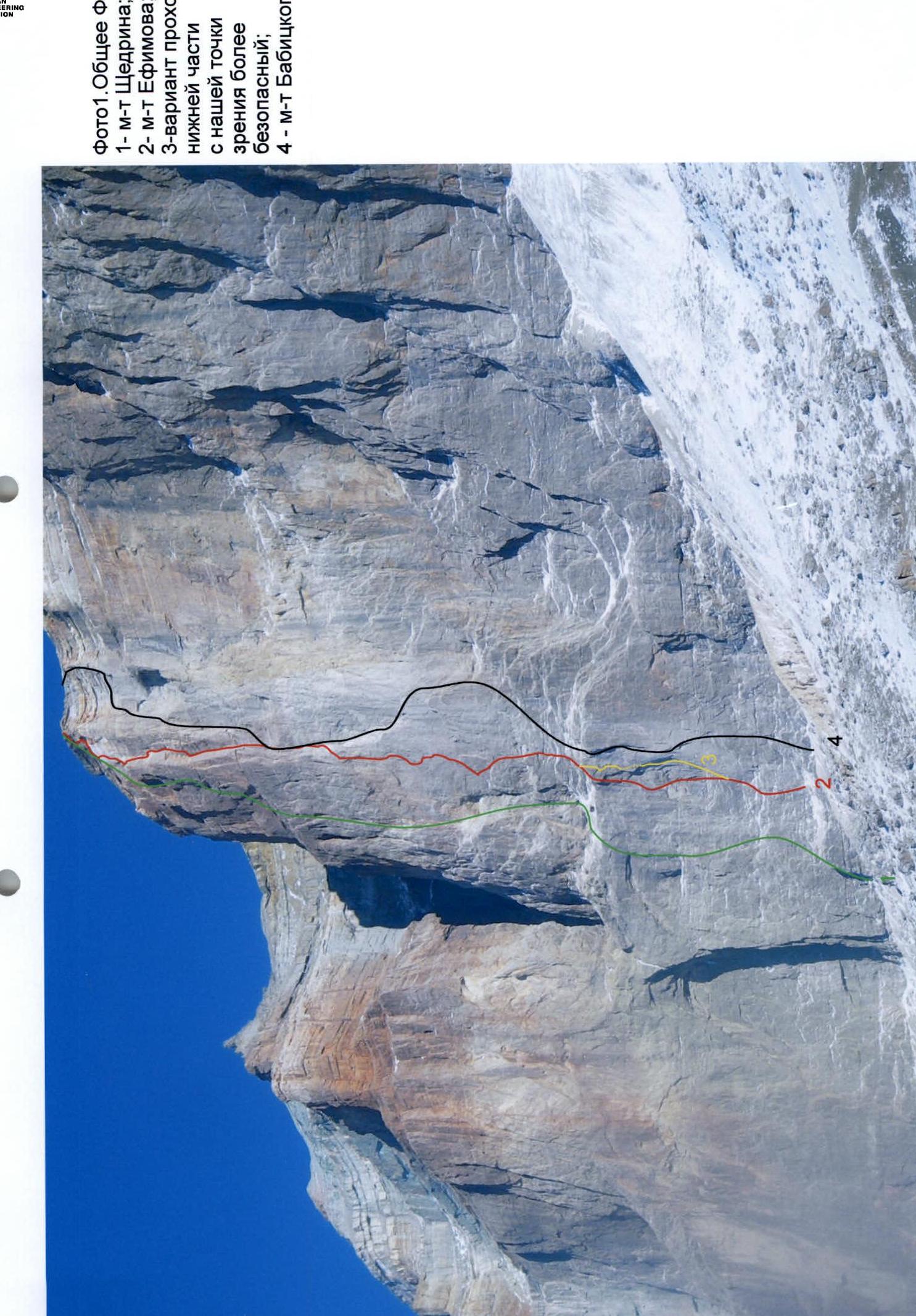
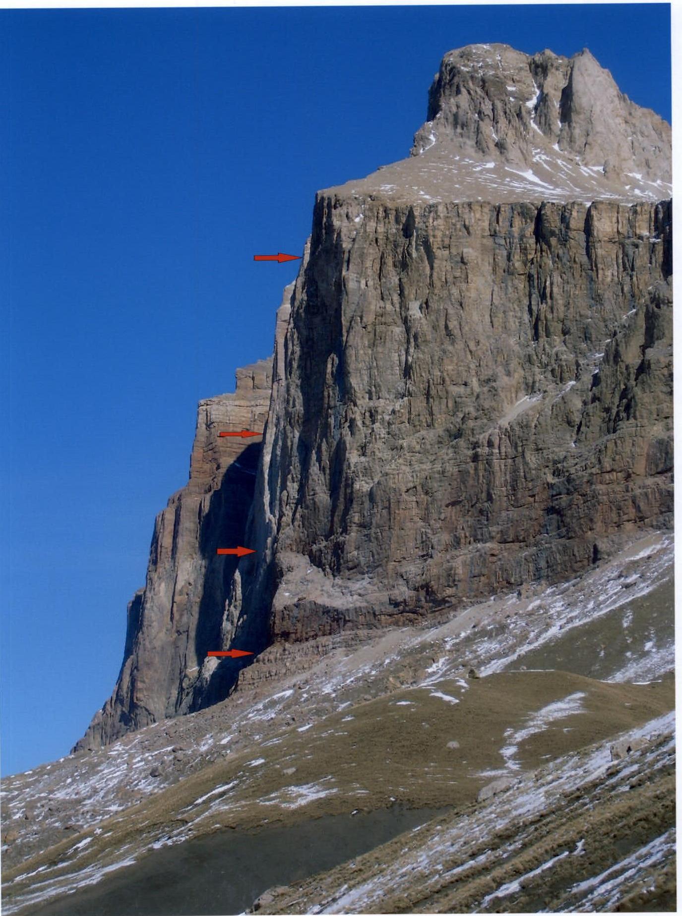 Photo 1. General photo:
- 1 — Shchedrin's route;
- 2 — Efimov's route;
- 3 — alternative route through the lower section from our viewpoint, considered safer;
- 4 — Babitsky's route.
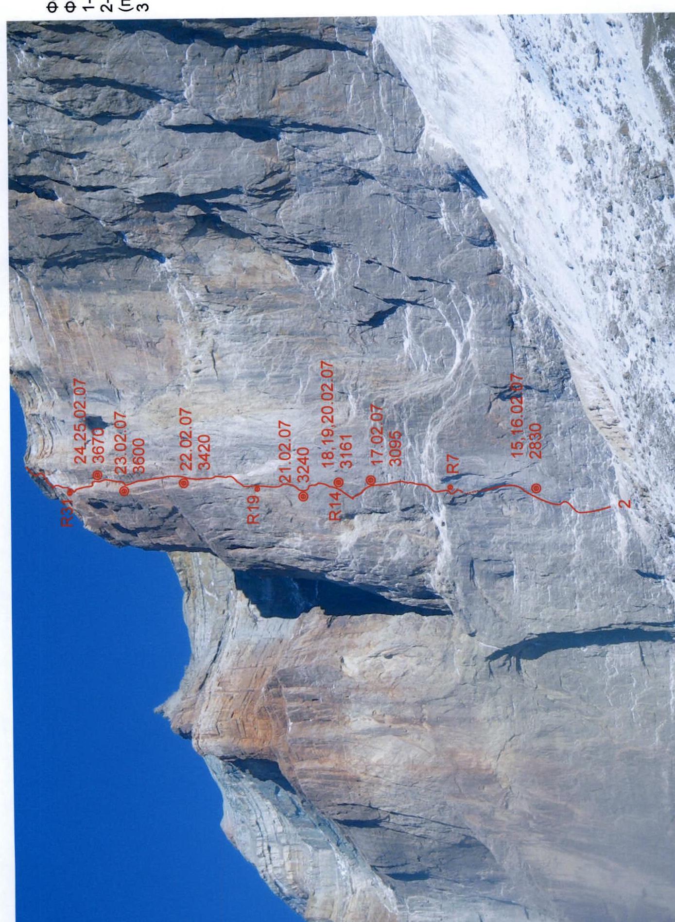
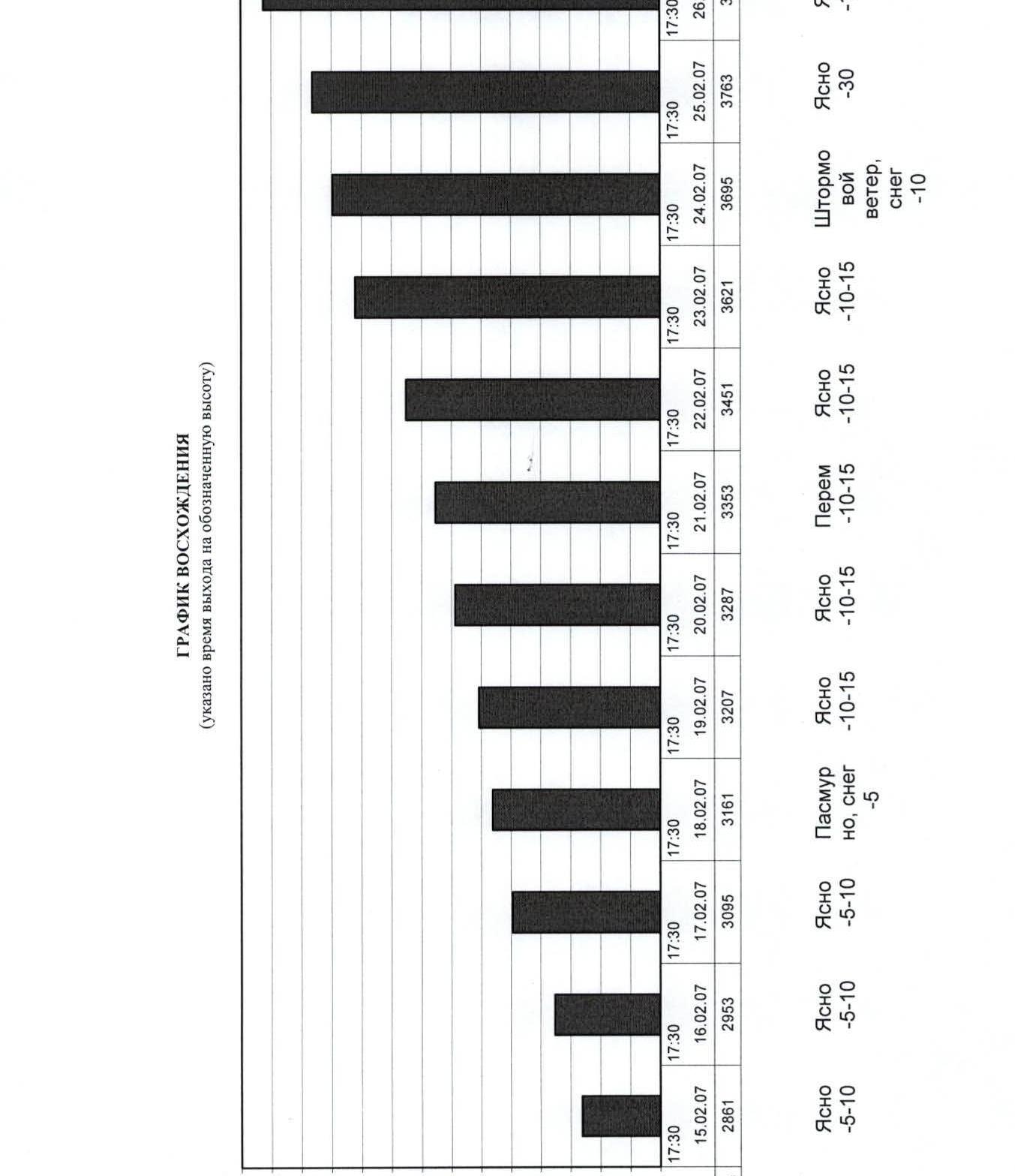 Photo 2. Wall profile.
 Ascent graph (time to reach designated height).
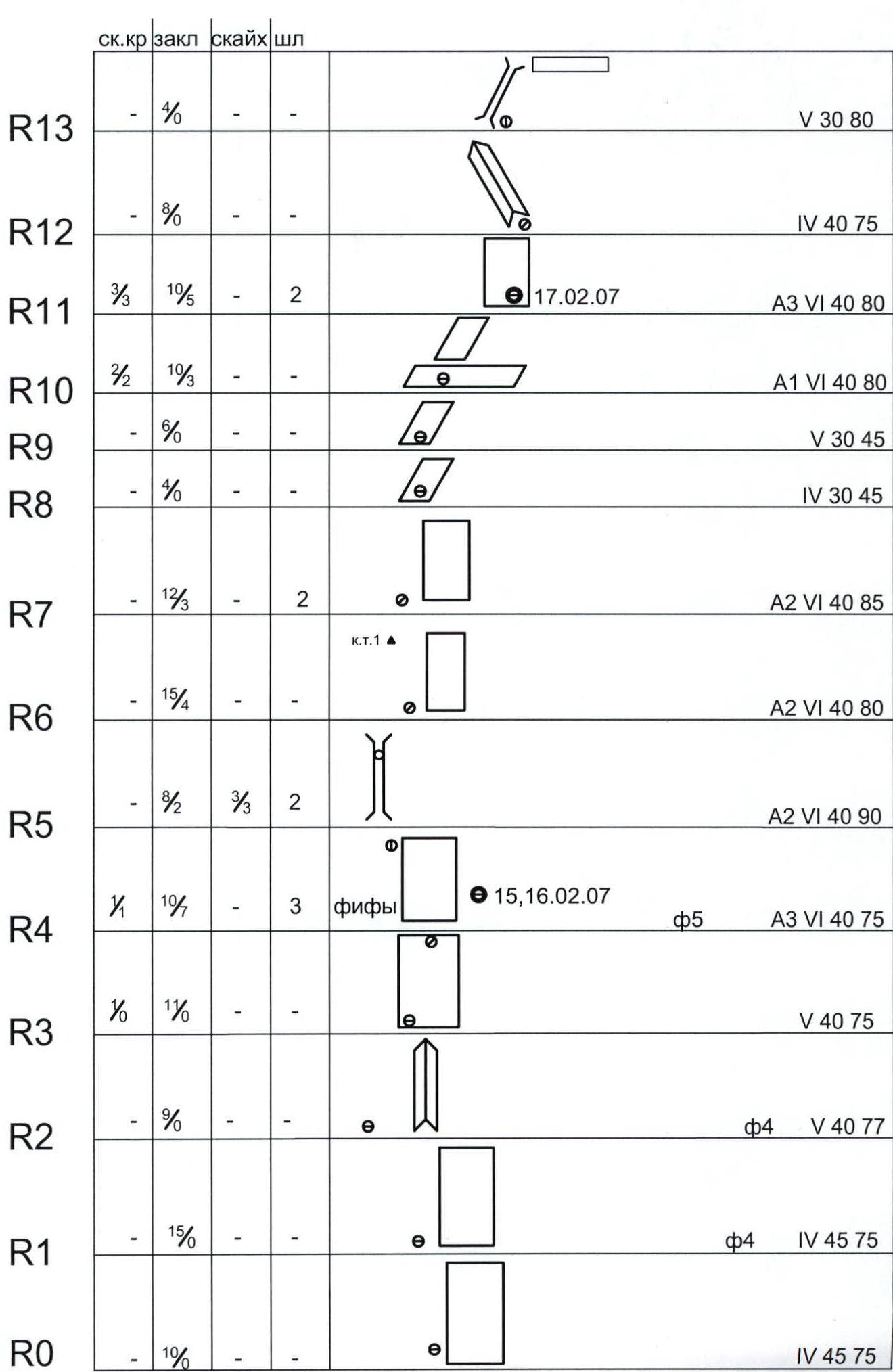
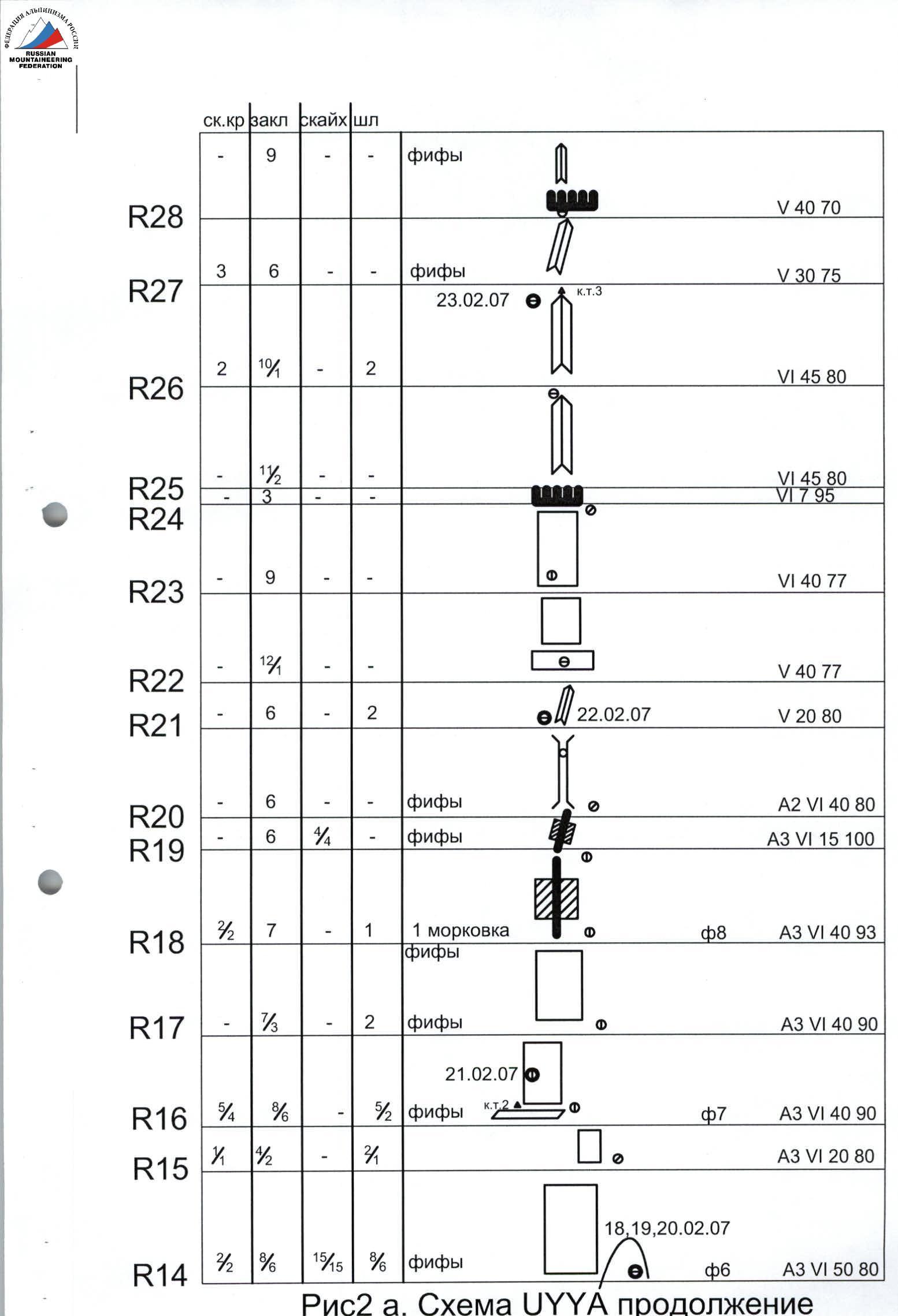 Fig. 2. UYYA scheme.
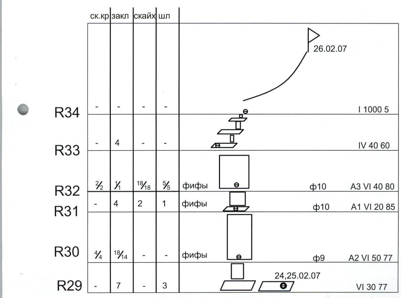 Fig. 2a. UYYA scheme, continued.
Fig. 2b. UYYA scheme (end). Photo. Technical photo:
- 1 — Shchedrin's route;
- 2 — Efimov's route (completed by the group);
- 3 — Babitsky's route.
Note from control point #2
Control point #1 was not found because the lower part of the route (about 200 m) was traversed 20–30 m to the right, for safety reasons. According to available data, the traversed variant is not inferior in complexity to the original and seems to us no less logical.
Control point #3 — no note was found, our note was left.
Control point at the summit — no note was found, our note was left.
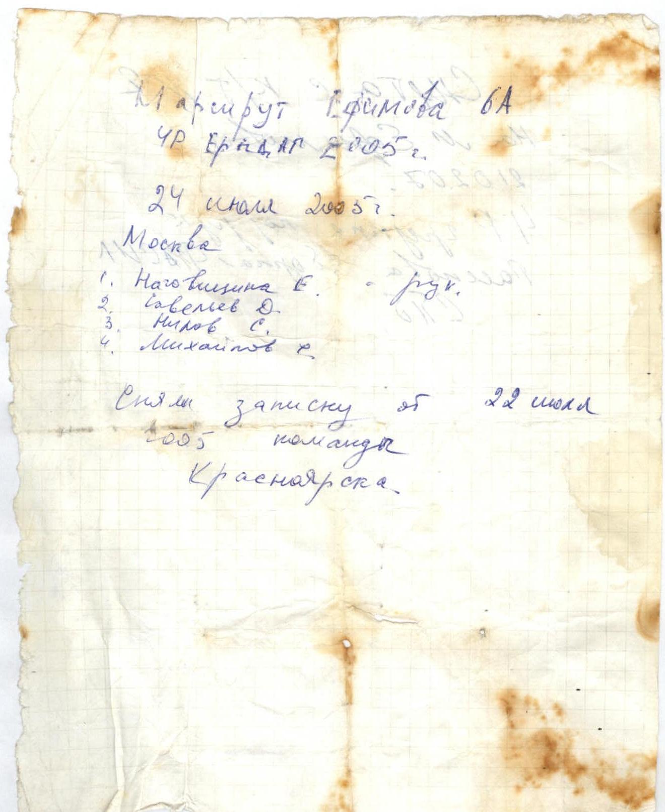 Photo 4. R1, R2. Kirichenko leads, Nagaev, Veiko on the route.
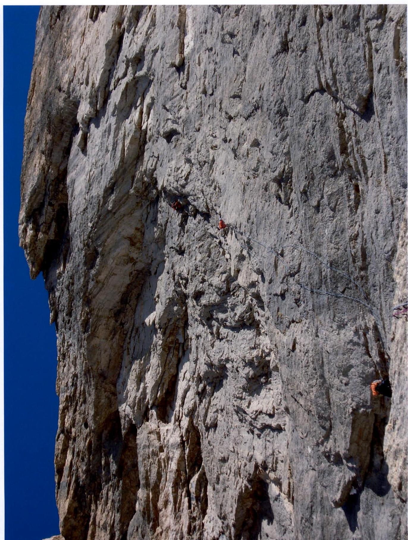 Photo 5. R4. Nagaev on the route.
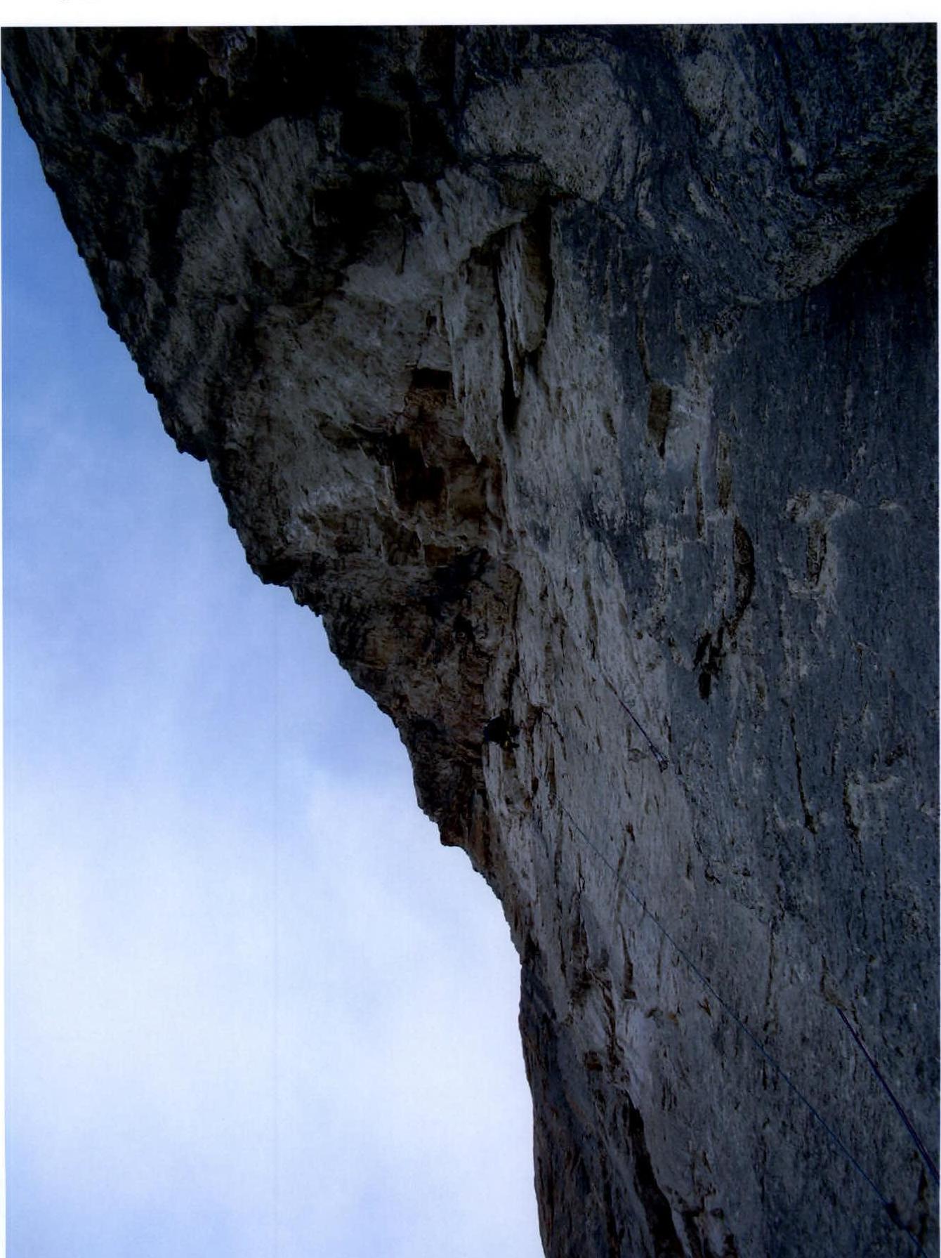
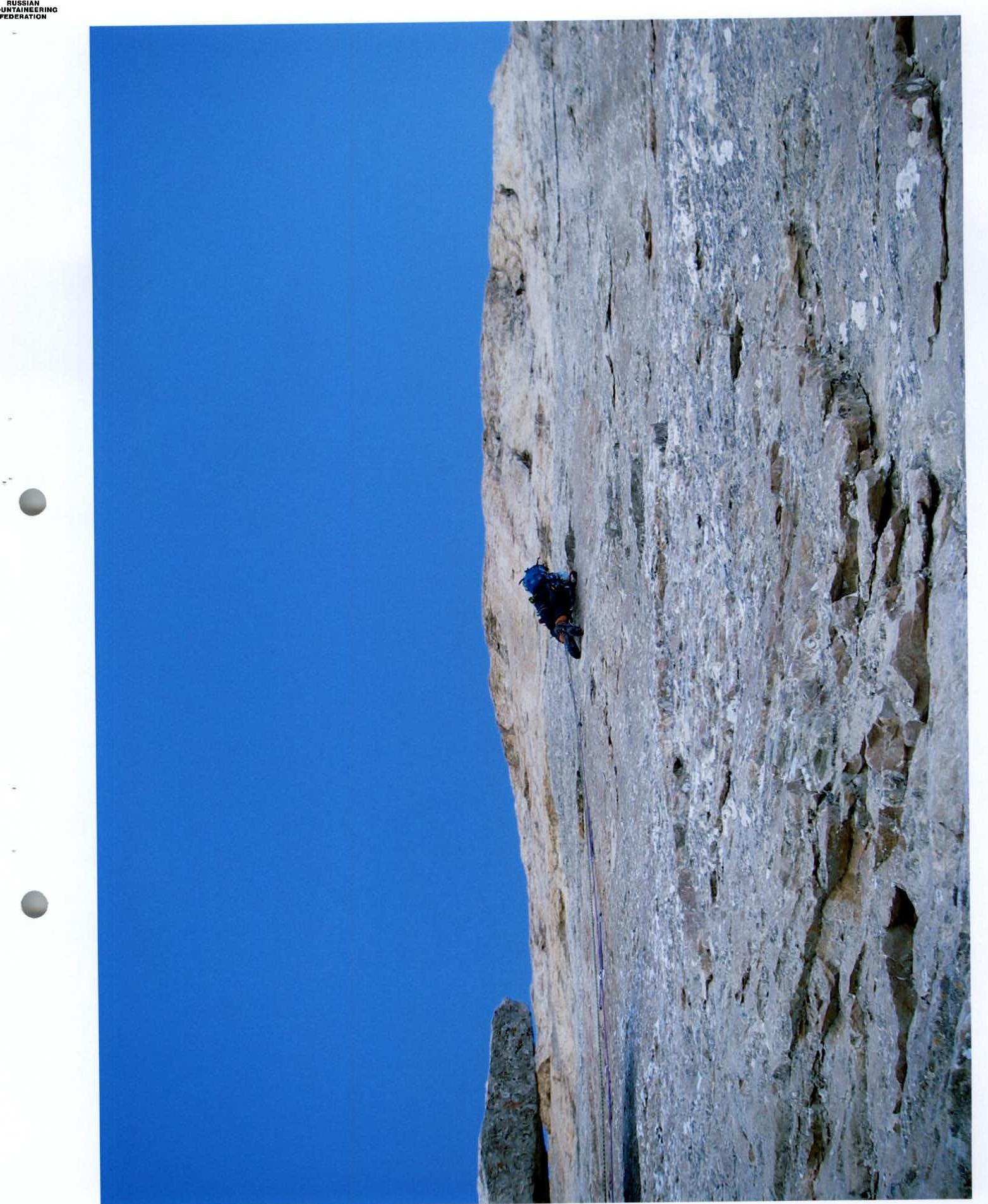 Photo 6. R14. "Mirror" (start). Nagaev on the route.
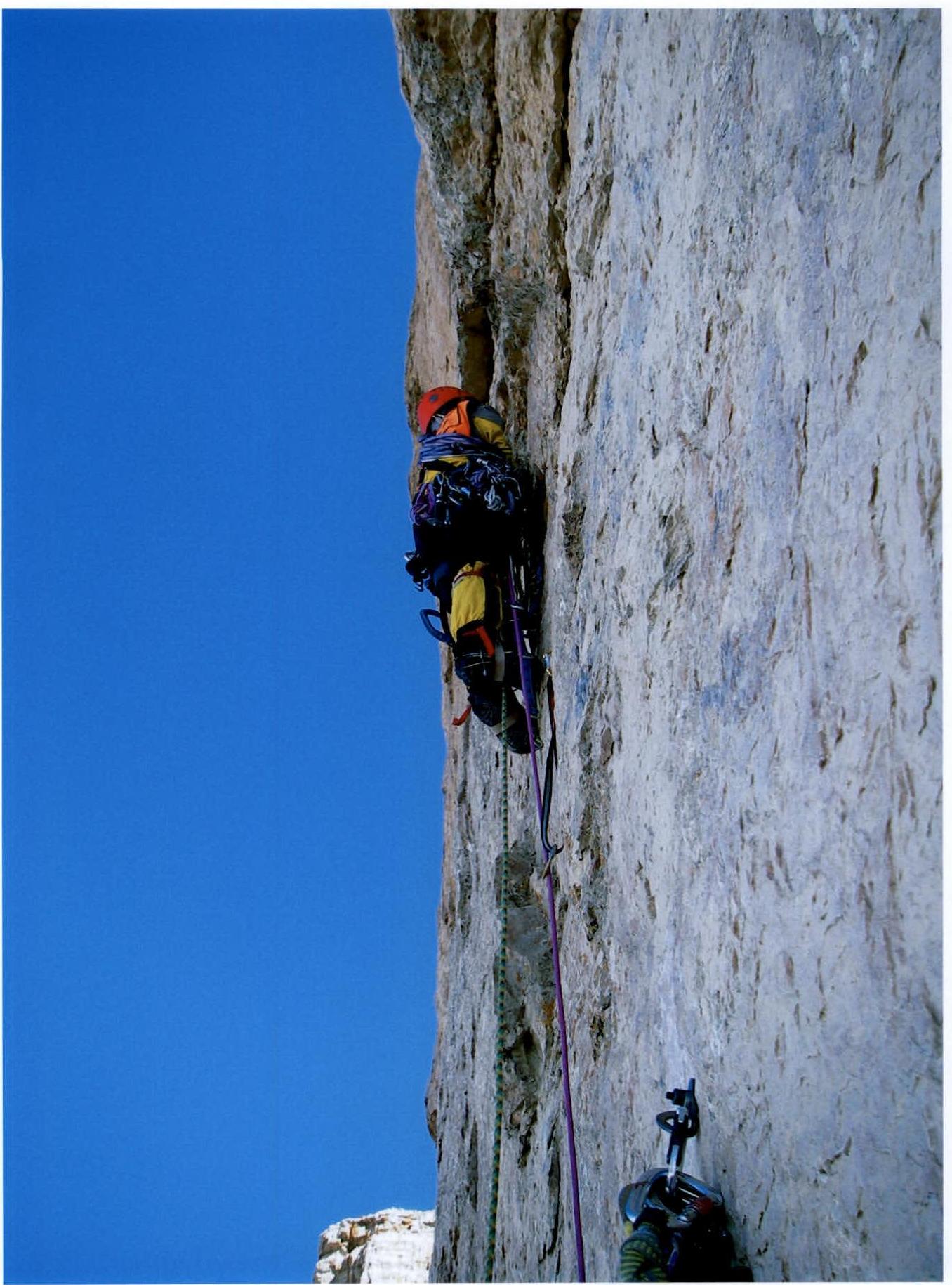 Photo 7. R15. "Mirror". Koltunov on the route.
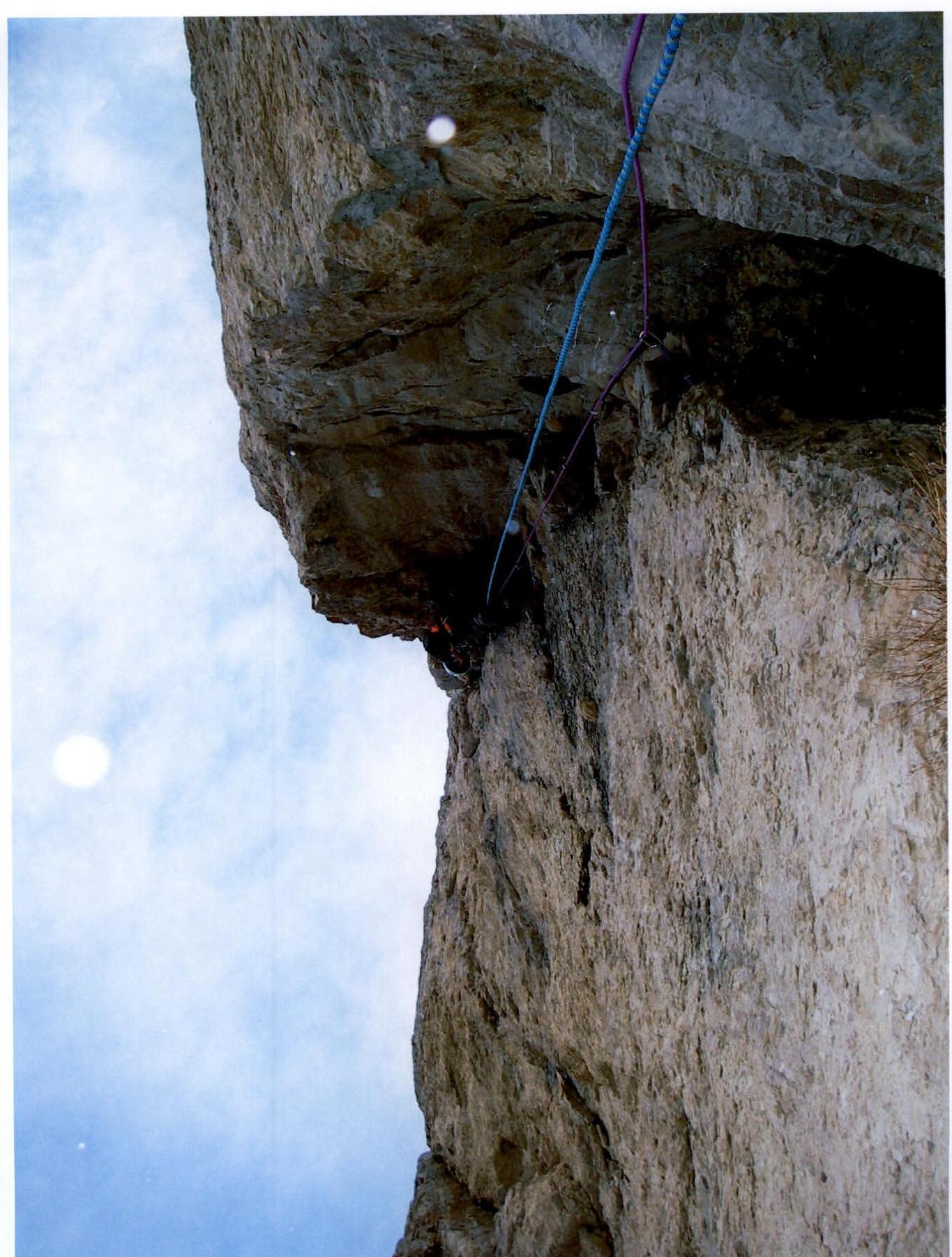 Photo 8. R18. Cleft. Veiko on the route.
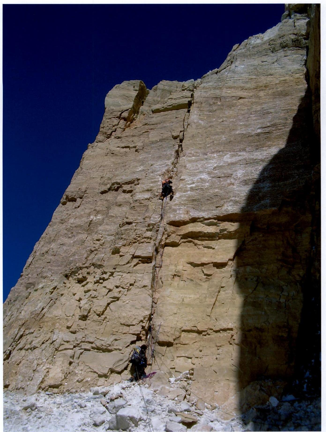 Photo 9. R30. Koltunov leads, Veiko on belay.
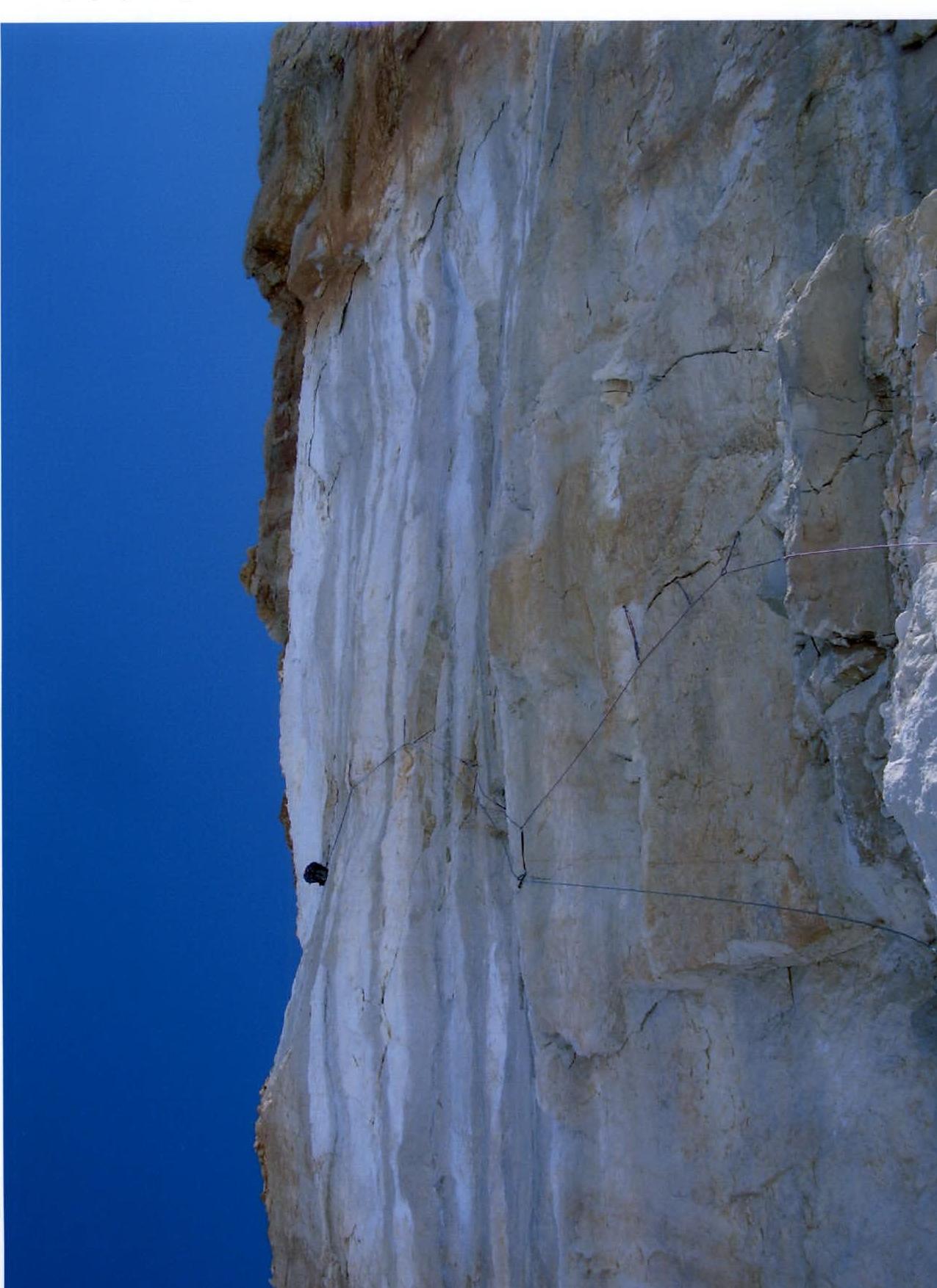 Photo 10. R32. Collapsed wall section. Nagaev working on hole-type skyhooks.