
Aktur Uzunkol — description of the 1B alpinist route from SK Greta
Route description: The trail to Ak pass begins from the first tributary flowing into the Myrdy river below the first bridge from the top on the right bank, and leads left along the trail upwards along steep grassy slopes in the direction of the Pyramida peak.
After 1.5 hours, the slope becomes gentler, and the trail goes along small rocky-grassy terraces. 40 minutes later, on one of the terraces to the left of the trail, on a wonderful lawn thickly overgrown with grass, next to a crossing stream, there are good places for tents, no firewood. A couple of rocky-grassy ascents lead to the glacier flowing from under the Pyramida and Ak-bashi peaks.
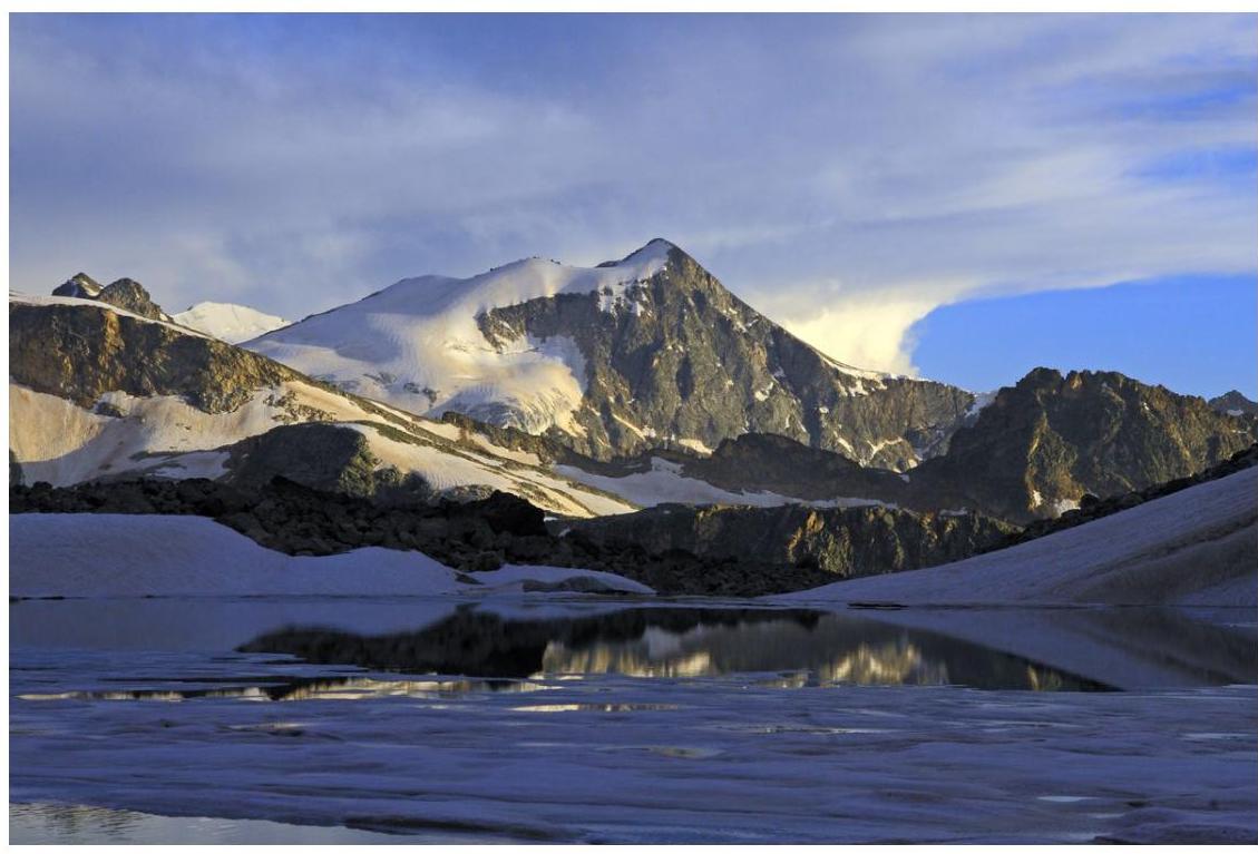
We ascend to the glacier to the right along the trail via small and medium talus and snowfields and enter a small glacial cirque north of the Ak-bashi peak, ending with a ridge of heavily destroyed rocks. A small depression in the ridge is the Ak pass.
Orienting our movement towards the saddle of the pass, we cross the glacier and ascend to the pass via snow and then destroyed rocks.
From the pass, we ascend to the peak via a snowy (at the end of summer — talus) slope. Descent is via the ascent route.
Path chronometry:
- ascent to the tongue of the glacier — 3 hours;
- along the glacier to the pass — 1 hour;
- ascent to the peak — 1 hour.
From sk-greta.ru website
Comments
Sign in to leave a comment