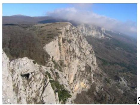
Crimea, Mt. Merdven-Kaya. Route via the southeast wall and south ridge — “Paskhalnaya” (2A cat.)
One day, Sitnik M.A. took a look at a new guidebook to the Crimean Mountains, brought to him by Lavrinenko A., and was horrified — “We don’t have many 2A routes. This is a disorder! We need to fix this somehow.” That's when I came up with my project, and it was a go. I had been itching to traverse the ridge I had discovered during a photo shoot in the area, but I didn’t know how to approach it. I showed it to Mikhal Sanych, he took a look at this mess, and said, “Why don’t you try it this way?” and we gave it a shot. It seemed to work out okay.
Out of all the variety of equipment, my partner and I didn’t bring the following on our ascent:
- ladders
- platforms
- jumar
- rope for handrails
We had to make do with:
- a set of small- and medium-sized protection gear
- a few pitons that we left on the route
This is the kind of “light style” we managed to achieve. On the fifth of May, with God’s help, we went for the first ascent. We were Vlad Brovko and Maks Kashirsky. Here’s how it turned out.
Route on Merdven-Kaya. Via the southeast wall and south ridge “Paskhalnaya”, 2A cat.
V+; 300 m; 8 pitches; 4–6 hours
Concept: Brovko Vlad, refinement: Sitnik M.A., Kashirsky Maks
First ascent: Kashirsky Maks, Brovko Vlad
Completed: May 5, 2013
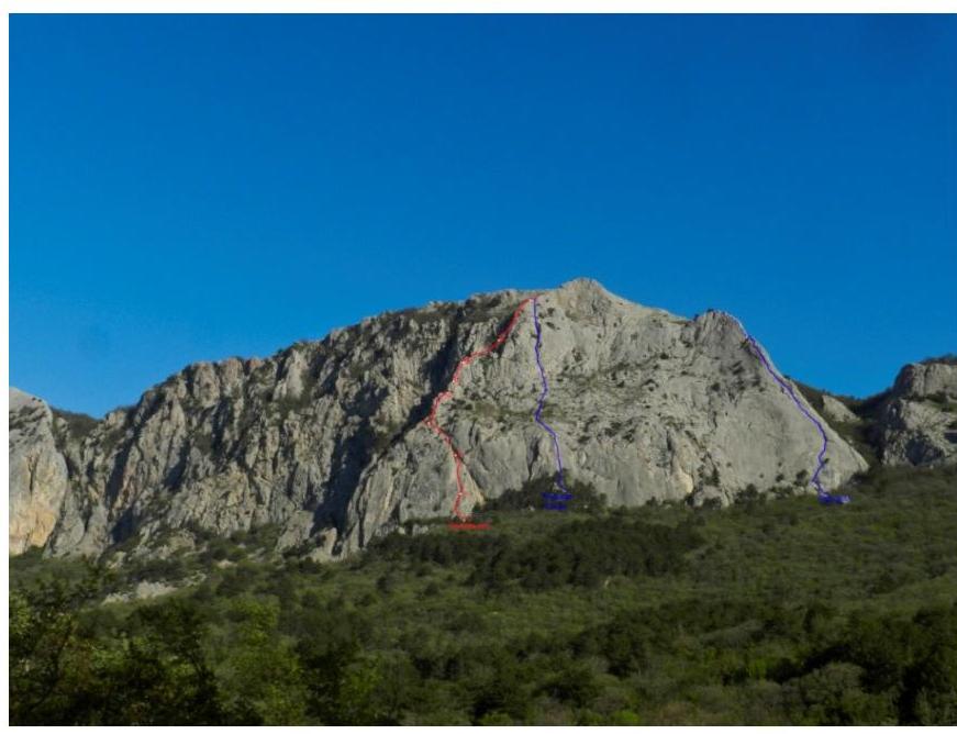
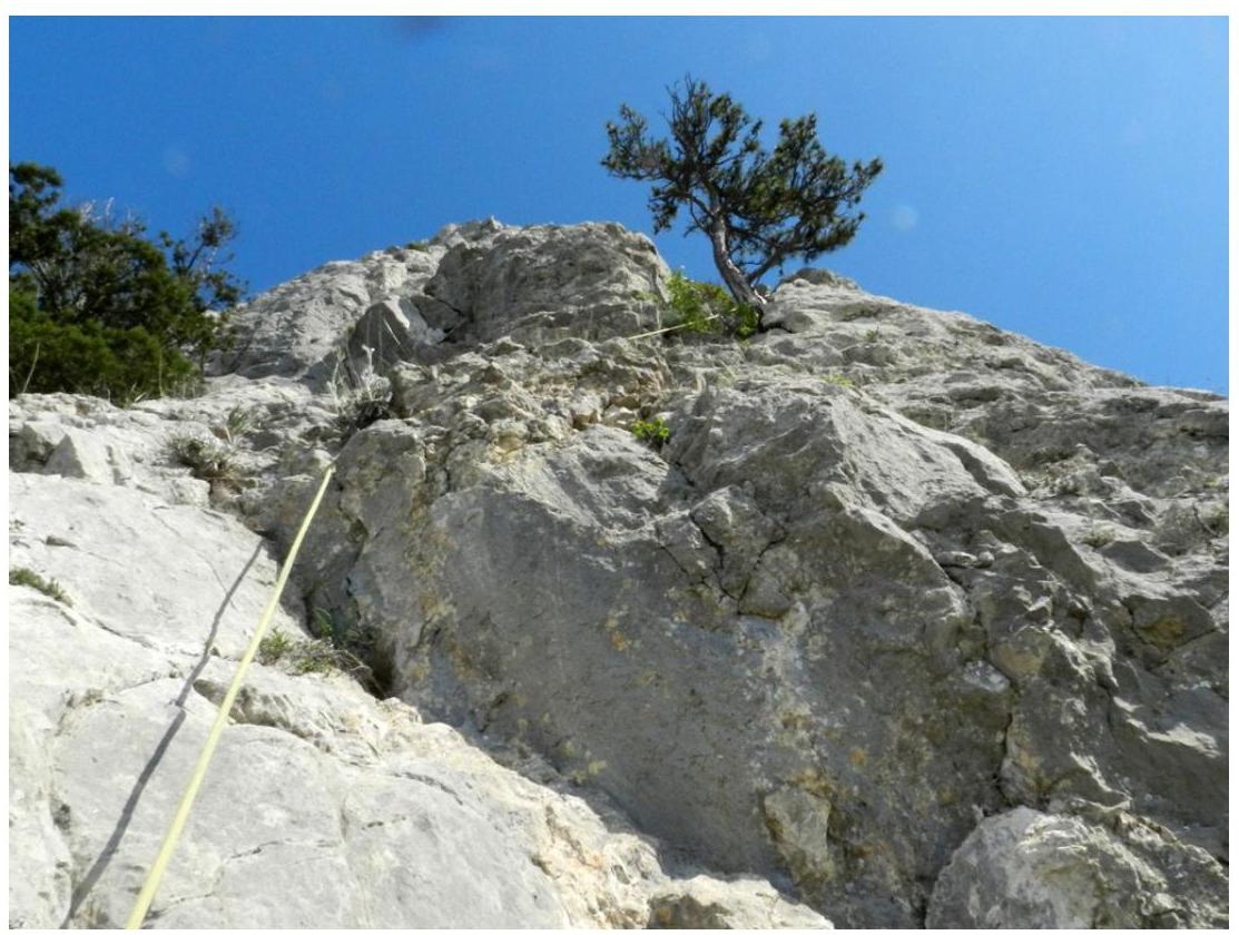
Route on Merdven-Kaya. Via the southeast wall and south ridge “Paskhalnaya — 2A cat.”
High-resolution photo
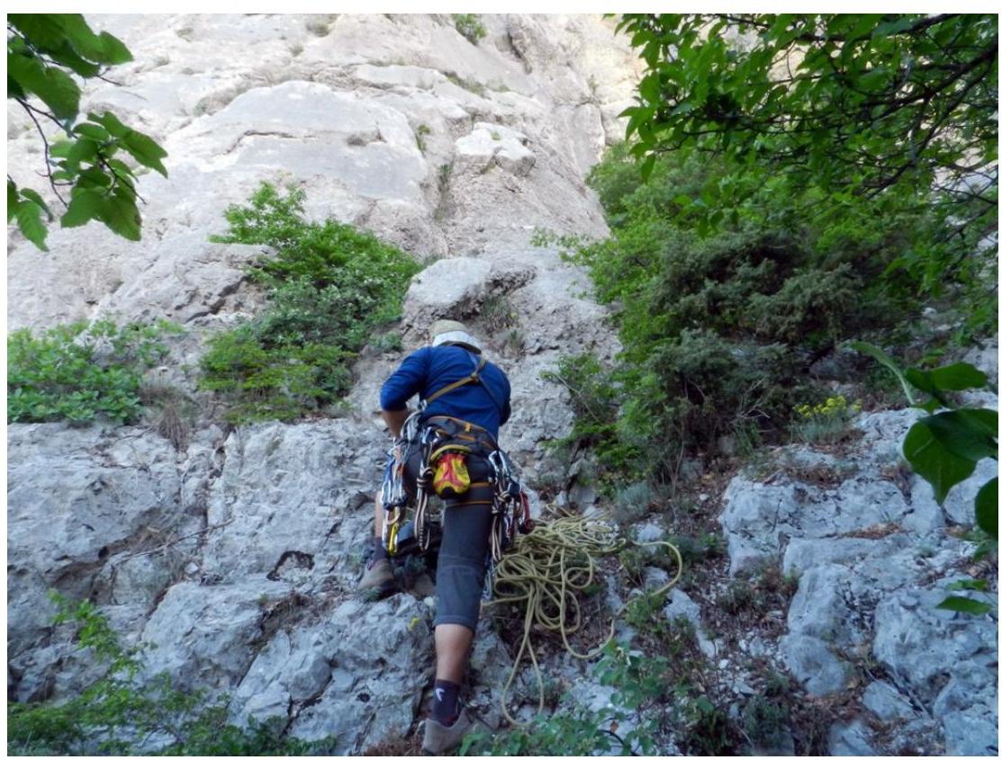
Approach to the route:
- From the trail to the “Shaitan-Merdven” pass, head towards Sevastopol for 5–7 minutes until you reach the number “500” painted on the asphalt
- To the right, a trail leads under the wall
- Follow it for a couple of minutes and reach some sloping shelves
- Landmark: a juniper bush growing on these shelves
- The route begins from it
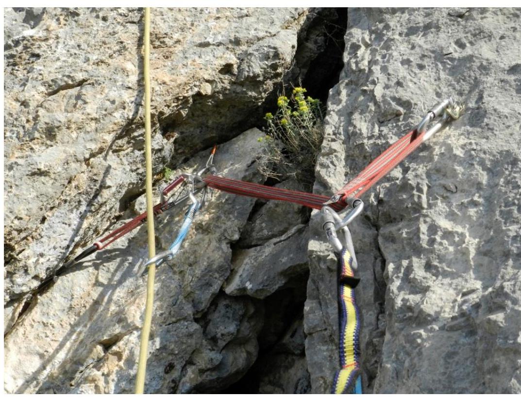
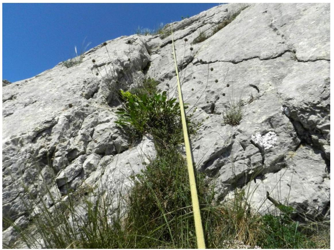
The start of the route follows an old climbing route, previously equipped with a top rope anchor — in the form of a bolt with a ring.
Route description:
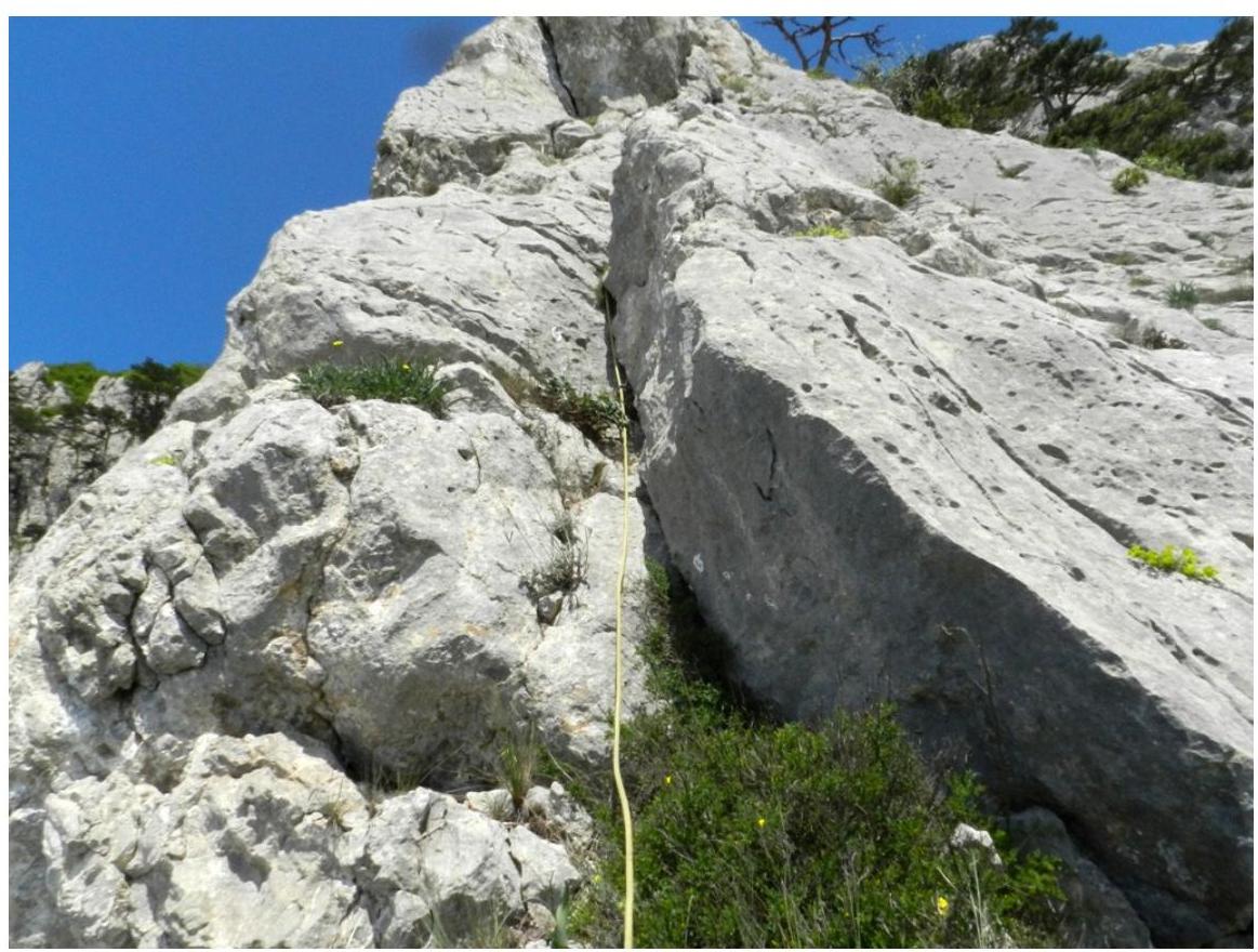
R0–R1: From the juniper, move diagonally left and upwards — 10 m, and then straight up the inner corner to a ledge that overlaps this corner. Under it, there is an anchor point — a bolt + your own gear. 30 m (IV+)
R0–R1
R0–R1
Pitch R0–R1, R1–R2: From the anchor point, move through the ledge, left and upwards along the inner corner — 20 m, then:
- upwards and to the right — 5 m, to a bolt with a ring and two wedges;
- after them, straight up — 5 m, and enter a sloping couloir that transitions into a sloping crack;
- along it, left and upwards — 5 m, to a tree.
Anchor point on the tree. 35 m. (IV+ 20 m.; V 5 m.; V+ 5 m.; III+ 5 m)
Station R1
Pitch
R1–R2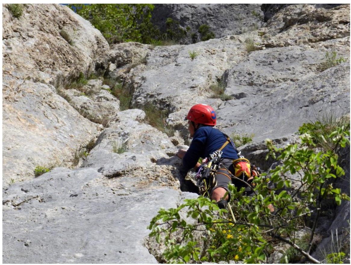
Pitch R1–R2 R2–R3: Along the sloping crack, left and upwards, to the ridge. On the ridge, there is a large pine tree with an anchor point. 50 m. (easy)

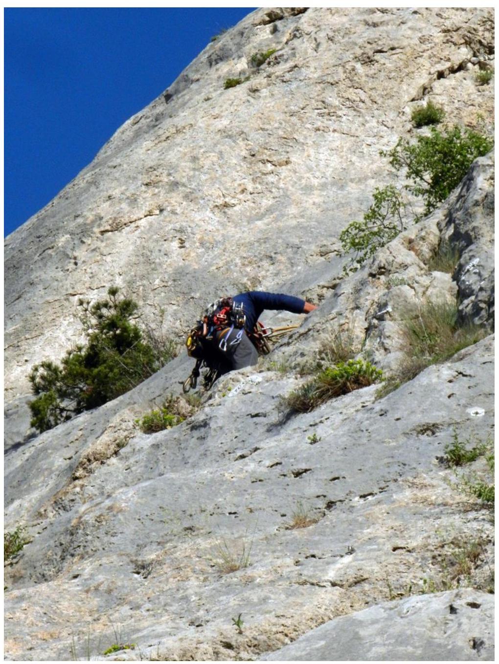
Pitch R2–R3 R3–R4: From the pine tree, upwards, past a small pine, through an inner corner, reach the ridge, and follow it to the anchor point.
- Anchor point on a gentler section of the ridge
- Behind a juniper tree
- Under a small wall
- A piton is driven into the anchor point
45 m. (III–5 m.; I–30 m.; easy–10 m)
Pitch
R3–R4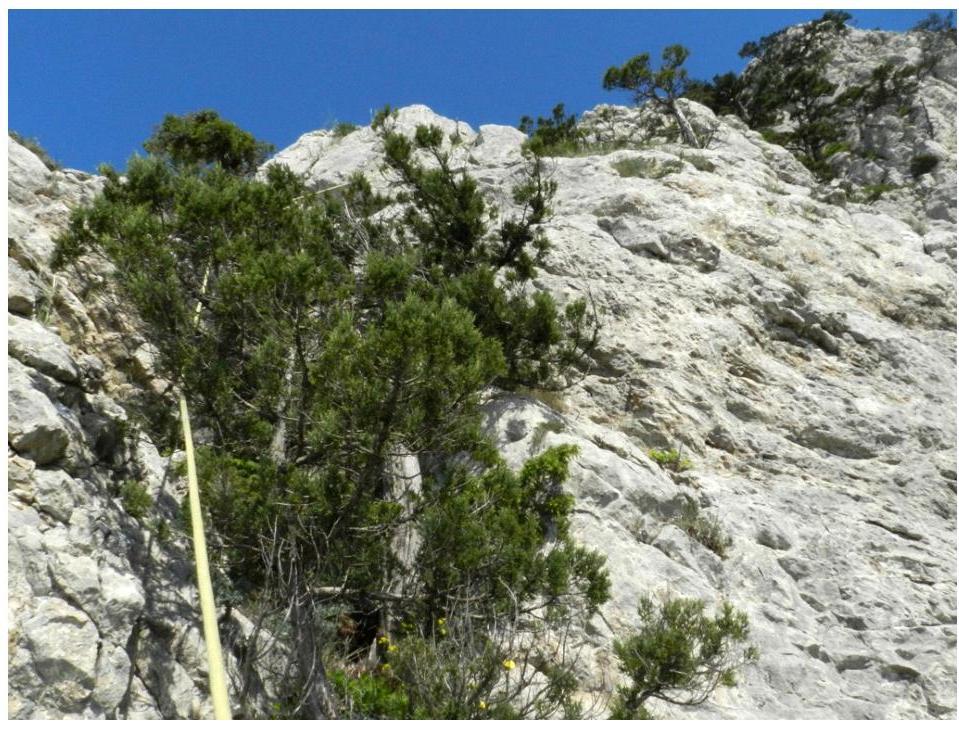
Pitch R3–R4, R4–R5: From the anchor point, traverse left, bypassing a small wall, along shelves, to a juniper, and from it, upwards, onto the ridge. The anchor point is set on a gentle section of the ridge with a sling around a protrusion. 15 m (I — 10 m; II — 5 m; easy — 5 m)

Pitch
R4–R5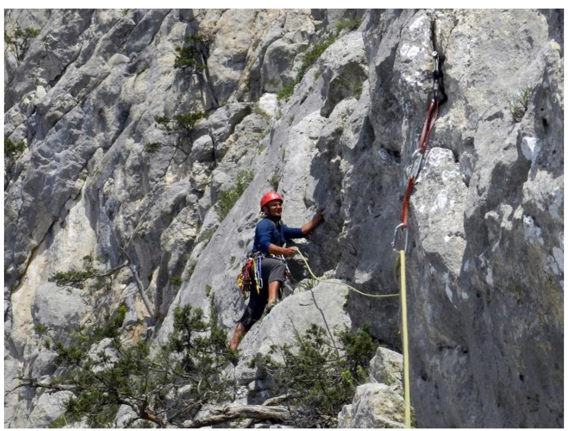
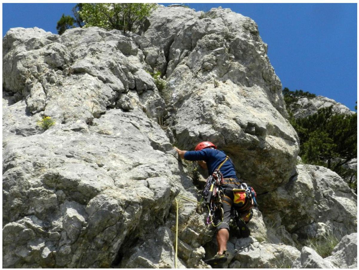
Pitch R4–R5, R5–R6: From the anchor point, move:
- straight up into an inner corner, exit onto a ledge
- from it, straight up along the inner corner, to a crack, before exiting onto the ridge
- through the crack, exit onto the ridge and follow it to the insurance point, located under the next wall
25 m (IV — 3 m; V — 10 m; easy — 12 m)
Pitch
R5–R6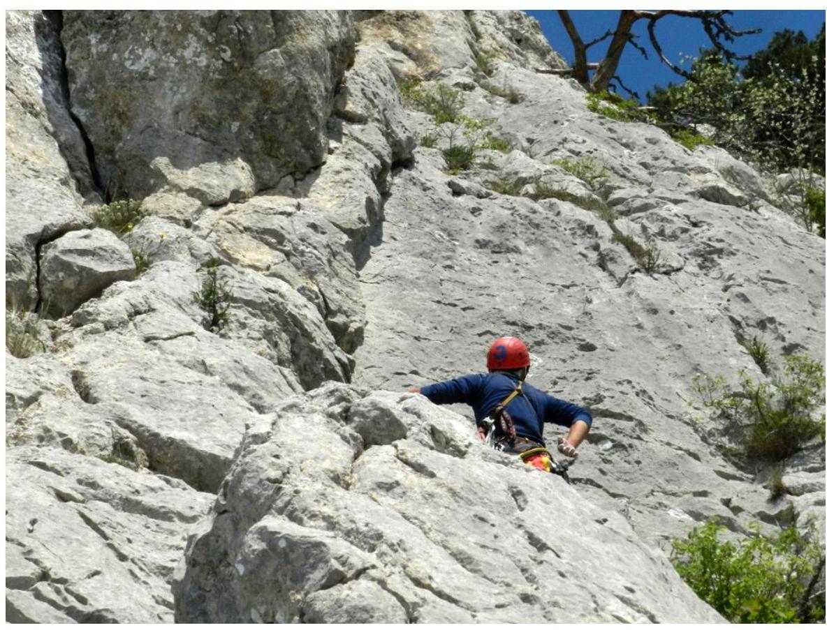
Pitch R5–R6, R6–R7: From the anchor point, approach, along the ridge, the wall with an inner corner and through it, exit onto the ridge. Further along the ridge to a pine tree. Anchor point on the pine tree. 45 m. (I — 5 m; IV+ — 3 m; easy — 37 m)
Pitch
R6–R7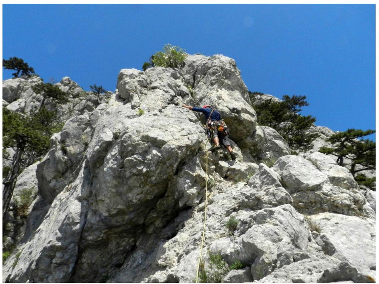
Pitch R6–R7, R7–R8: From the pine tree, straight up along the inner corner, approach a small pine and from it, further onto a gentler slope. Reach the ridge crest to a juniper. Anchor point on it. 50 m. (II — 15 m; I — 5 m; easy — 30 m)
Pitch R7–R8
The ascent to the summit is done by going left of the destroyed ridge, along simple terrain and fields.
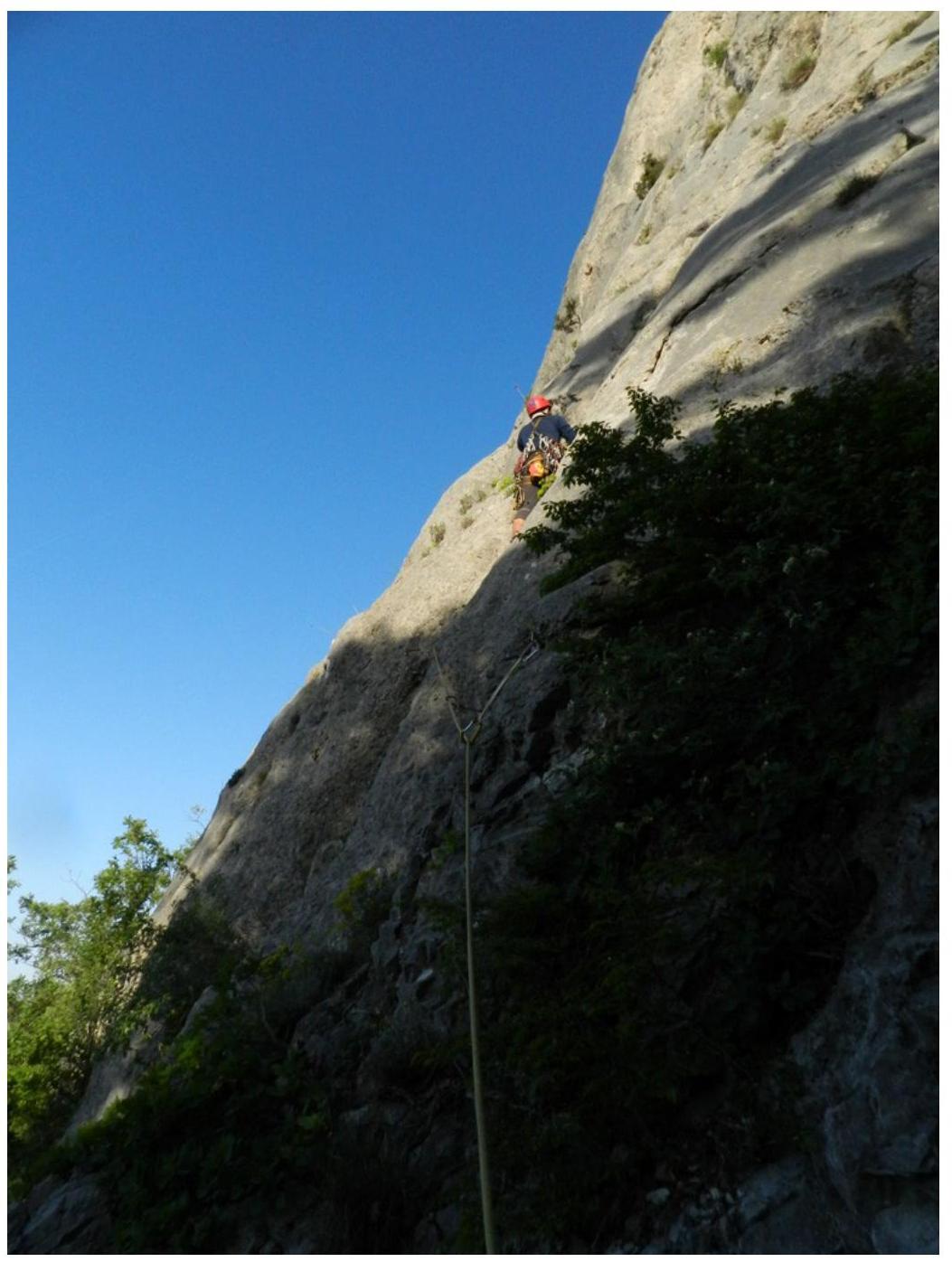
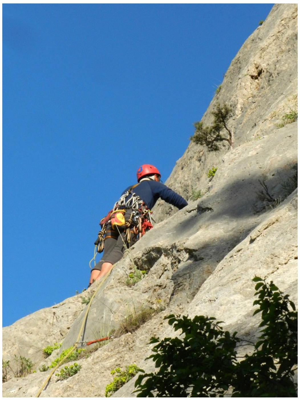
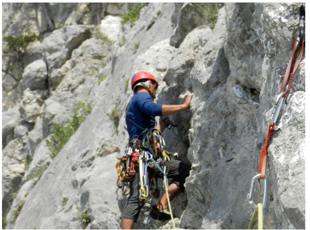
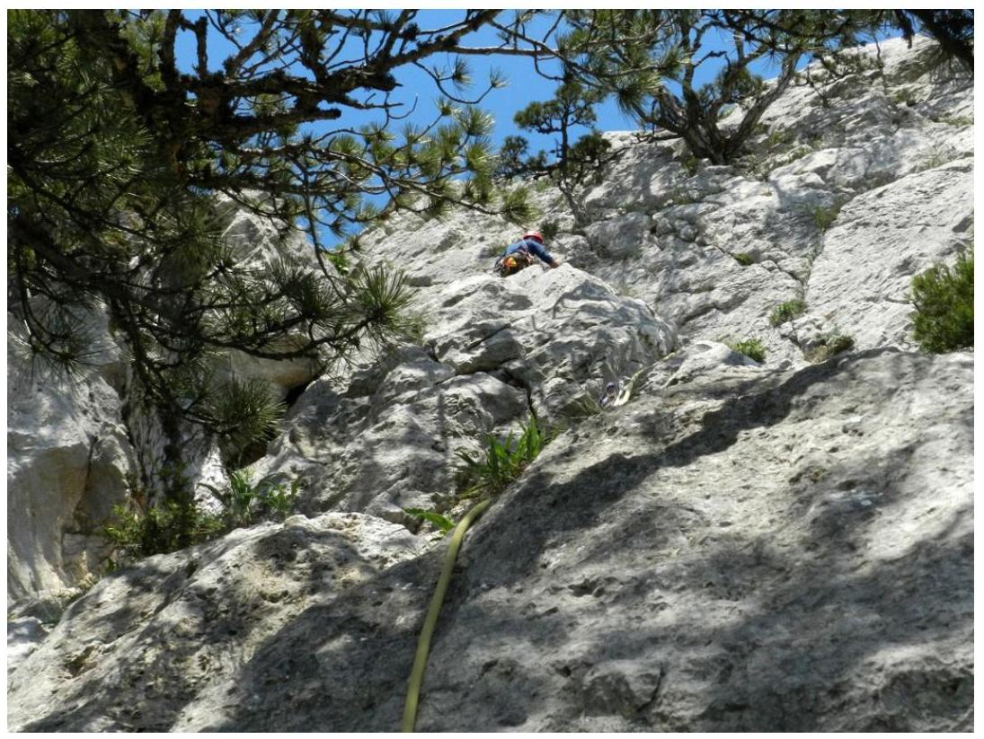
Maks Kashirsky on belay
The descent from the summit is done along the trail through the “Shaitan-Merdven” pass.
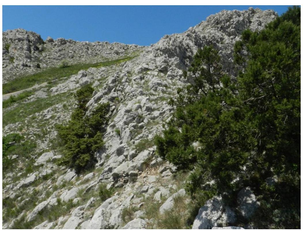
The descent from the summit is done along the trail through the “Shaitan-Merdven” pass.
Author of the description: Vladislav Brovko
Material provided for: ALP Project