Ascent Log
- Polar Urals, southern part.
- Mt. Payer (1472 m), via the southern ridge.
- First ascent, category 2A difficulty.
- The route is combined.
- Height difference — 500 m.
Route length — 910 m. Average slope:
- main part — 50°,
- entire route — 35°.
- Pitons used on the route:
Chocks — 5.
- Team's travel time: 6 hours.
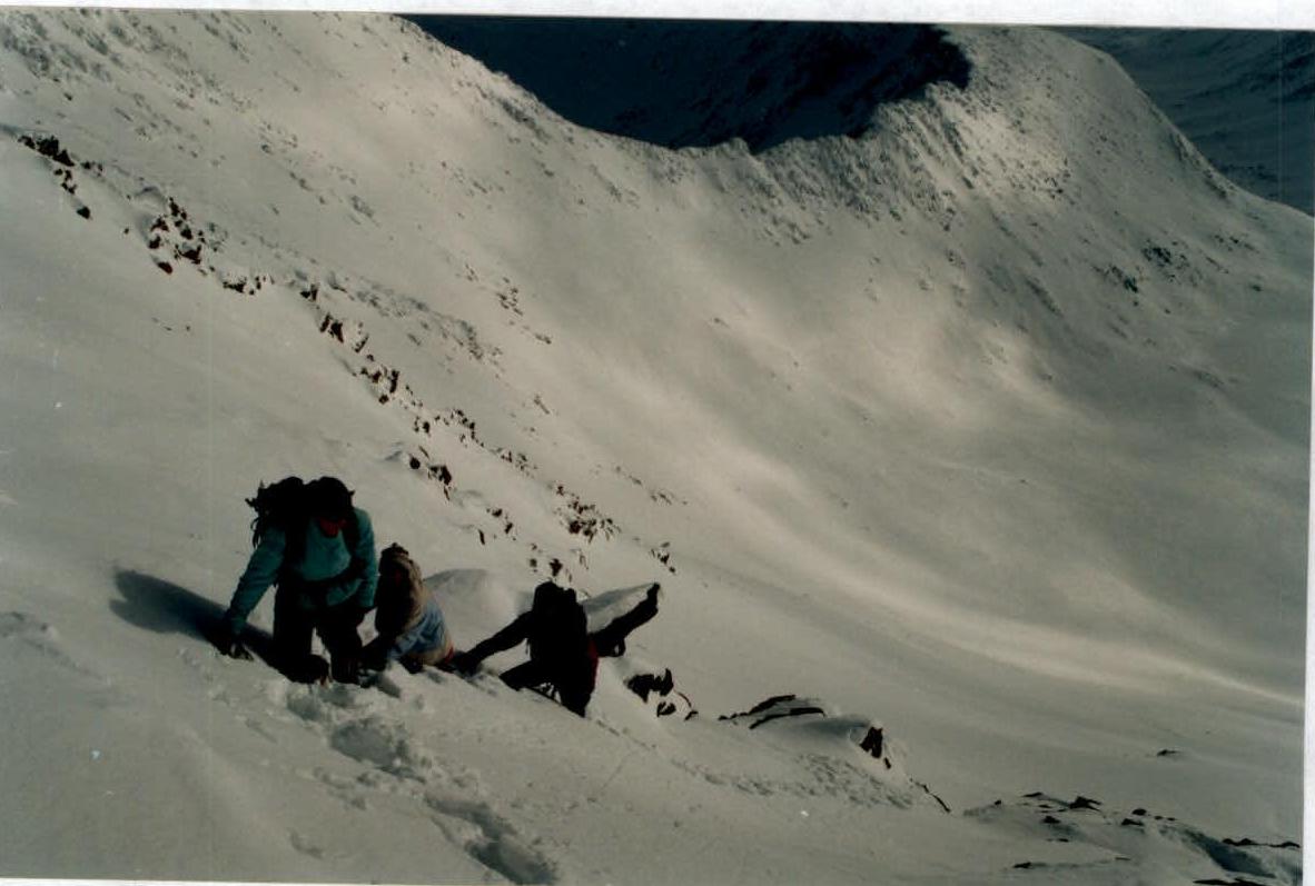
- Leader: Pushkarev Vladimir Aleksandrovich (2nd category). Team members: Savinykh Alevtina Valerievna (2nd category), Lyashev Vyacheslav Borisovich (3rd category), Monastyrny Aleksey Valerievich (3rd category), Pushkareva Larisa Vladimirovna (3rd category), Kuzub Denis Andreevich (3rd category).
- Departure to the route: 10:00, April 6, 2001. Reached the summit: 17:00, April 6, 2001. Returned to the base camp: 19:00, April 6, 2001.
UIAA Symbol Route Diagram
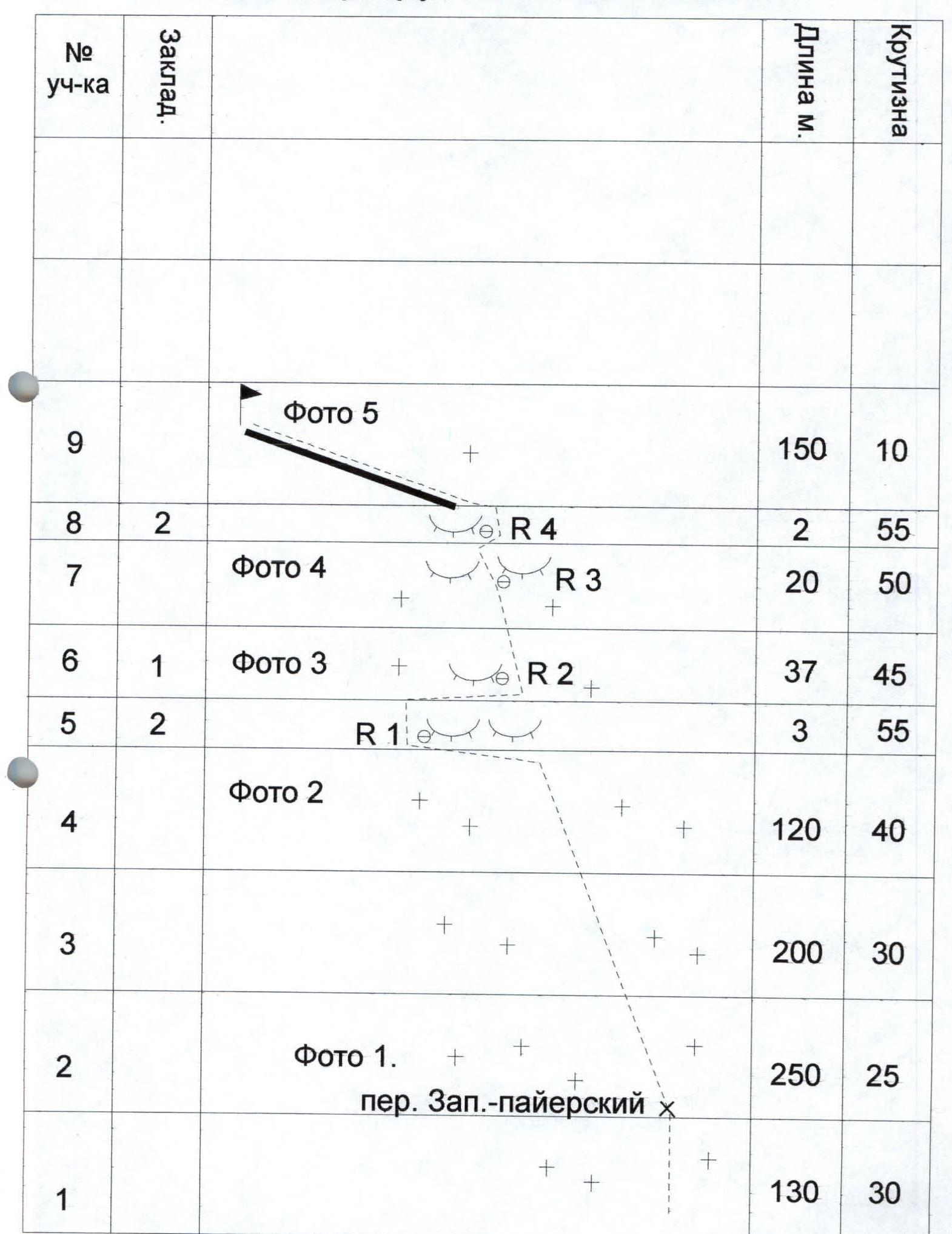
Mt. Payer Route Diagram
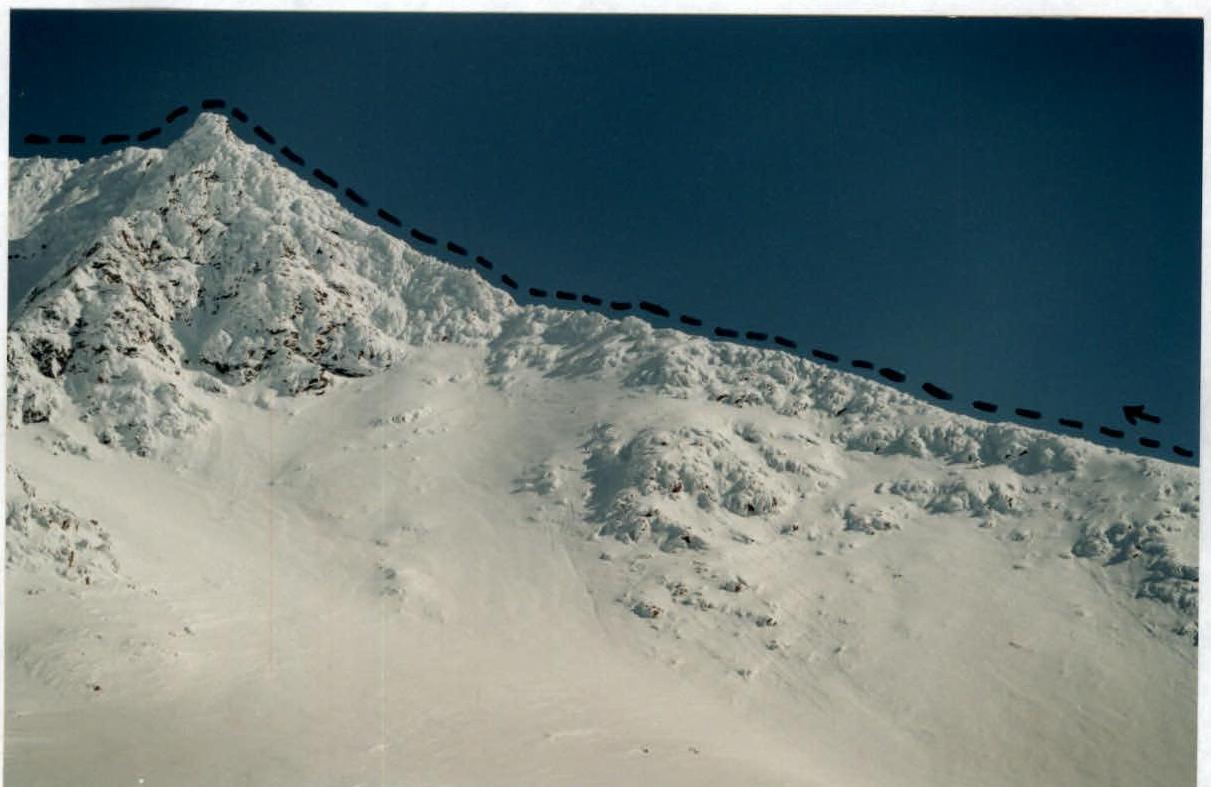
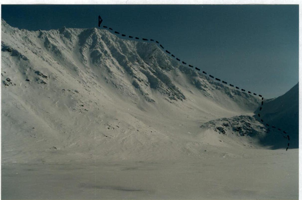
Photo 1.
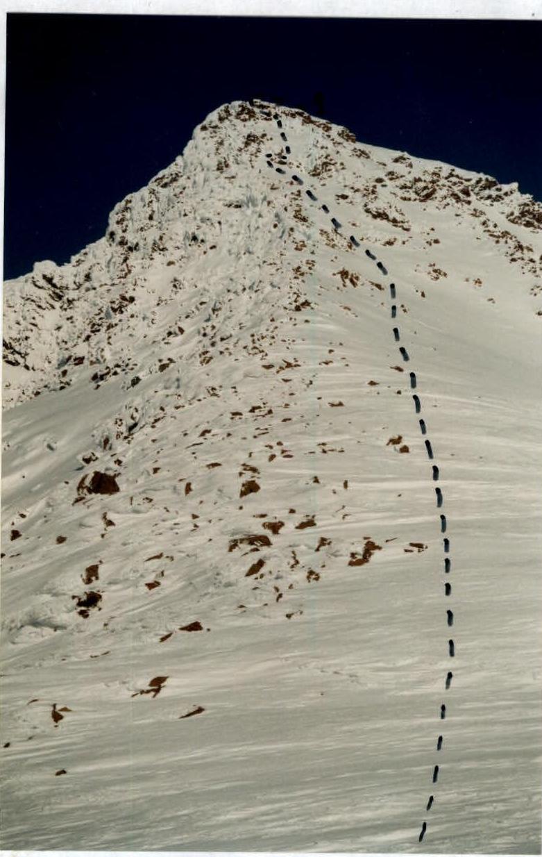
Photo 2.