
Moscow Alpine Climbing Championship
Technical Class
Report on the ascent of Pik Usen Via the Southeastern Wall counterfort (first ascent)
Ascent Passport
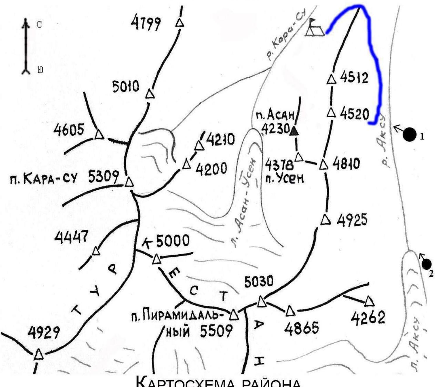
- Mountain system: Pamir-Alay Region: Karavshin Valley: Kara-Su Peak name: Usen, 4378 m Peak number according to the classification table: 5.4.3.
- Route name: via the counterfort of the Eastern wall, first ascent
- Category: 5A
- Route type: rock
- Route description: Elevation gain: 504 m Route length: 605 m Section lengths: Cat. 5: 165 m Cat. 6: 180 m Average steepness: main part of the route: 70° entire route: 64°
- Protection used on the route: total — 136/0 pieces, including: anchor pitons (total/stand) — 30/0 pieces bolt pitons — 9/0 pieces cams, nuts — 97/0 pieces. Pitons left on the route: anchor — 0 pieces bolt — 9 pieces ice screws — 0 pieces snow anchors — 0 pieces
- Team's time on the route — 17 hours, 2 days
- Leader: Igor B. Savelyev Sports qualification — Master of Sports Team members: Konstantin G. Markevich, Candidate for Master of Sports Dmitry A. Skotnikov, Candidate for Master of Sports
- Coach: Igor B. Savelyev Sports qualification: Master of Sports.
- Departure for the route: 7:00, July 10, 2015 Summit arrival: 15:30, July 11, 2015 Return to Base Camp: 20:30, July 11, 2015
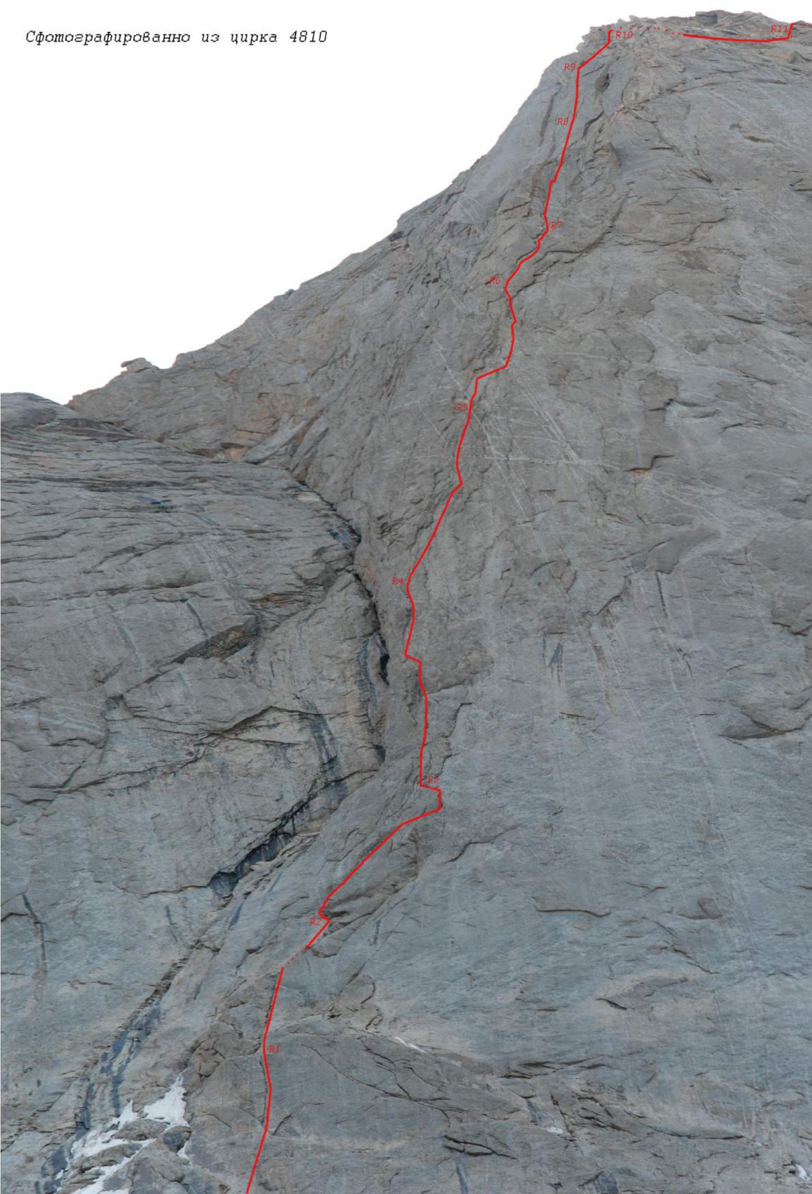
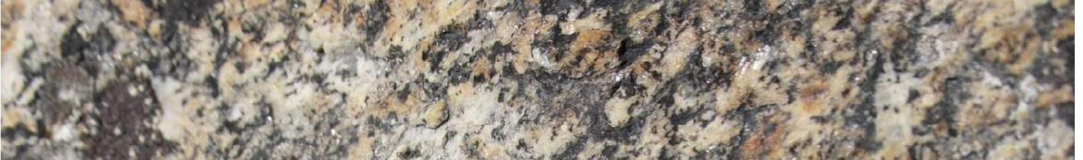
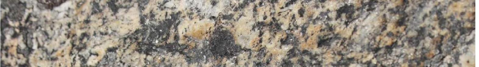
Photo taken from the 4810 wall

Photographed from the 4810 cirque
Route profile
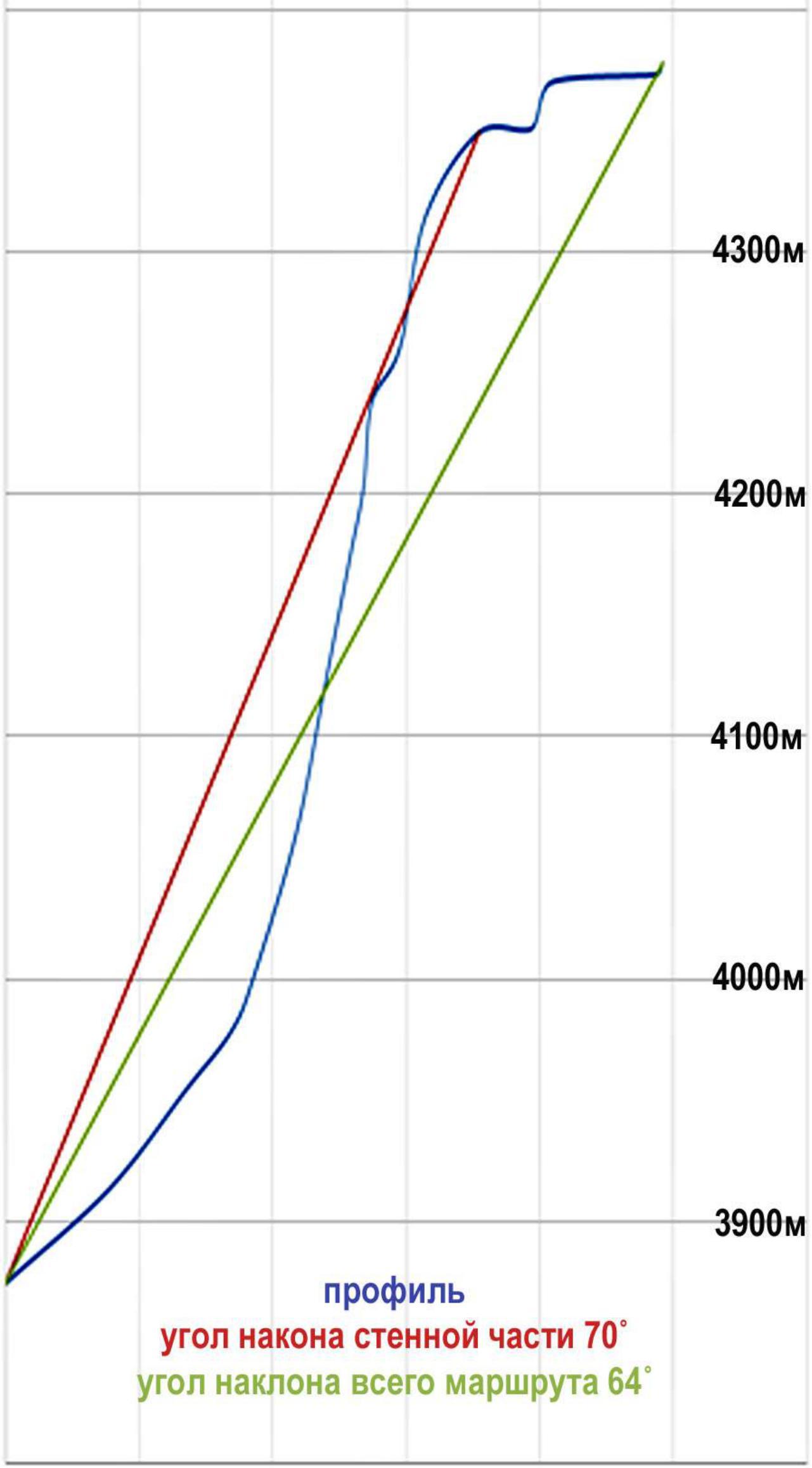
3900 m

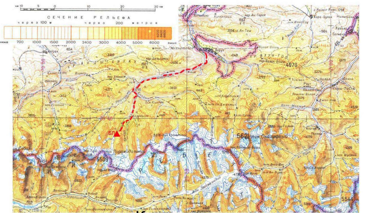
Area map


Approach
From the base camp in the Kara-Su river valley, head up the right (orographically) bank of the river along the trail to a clearing with the remains of a hut. From there, turn left onto a barely visible trail that ascends the slope of the Krkchilta peak's spur. Follow the trail between Krkchilta and Asan peaks into the 4810 cirque, cross the cirque, and move along the snowy slope between the Usen peak's spur and the northwest wall of 4810 towards the bergschrund. In the second half of the day, rockfall is possible from the Usen peak's spur. Cross the bergschrund in its right part via a bridge (the path depends on the current state of the bergschrund). Then ascend 150 m along the glacier to the moraine and another 100 m along the moraine to the bivouac site. From the bivouac site to the start of the route, the path goes through snow and scree and is clearly visible.
Route Description
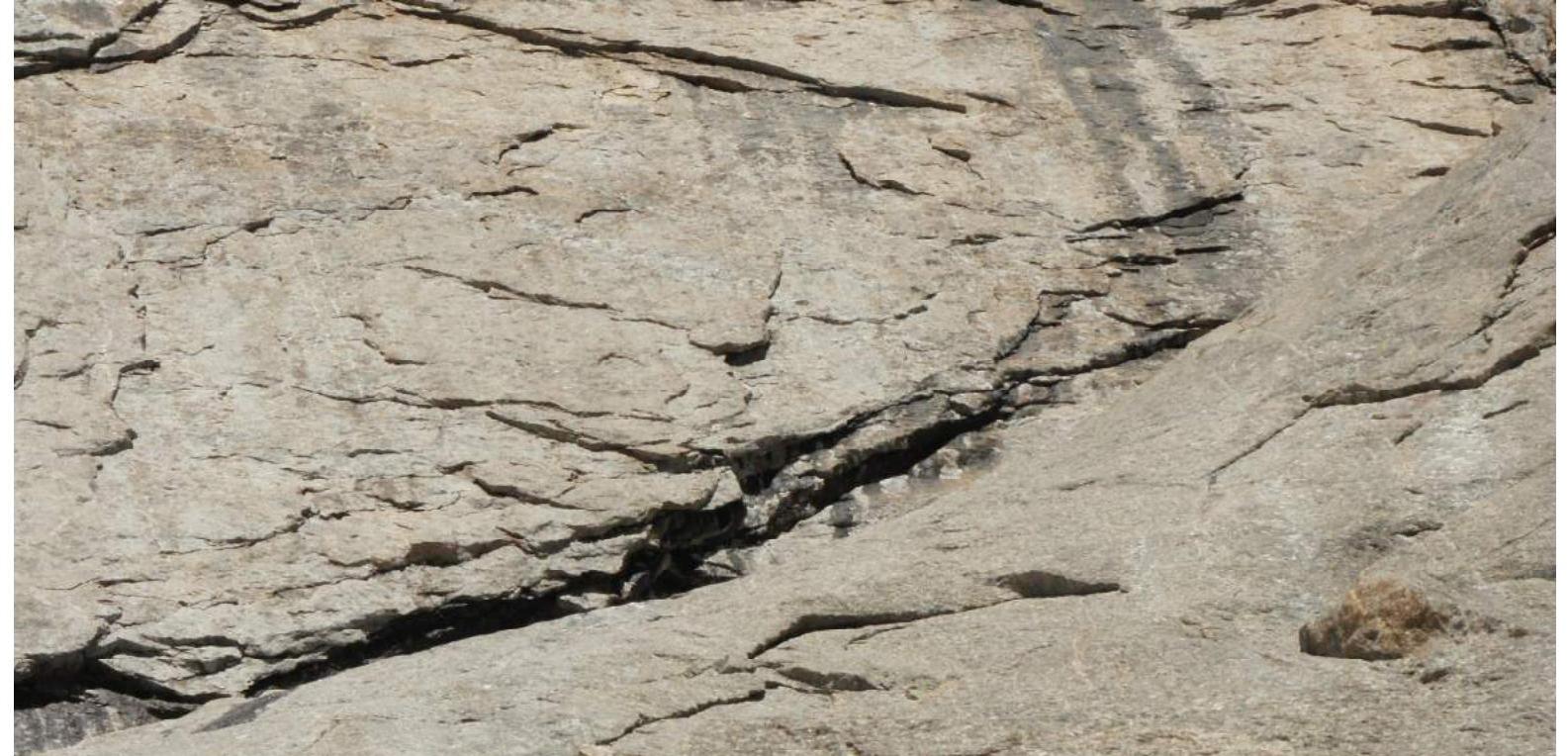
The route follows a pronounced counterfort of the eastern wall of Usen peak. It starts on the "ram's brows" to the right of the snowy couloir; passing them with anchor protection does not pose any problems. The route then follows a system of corners and cracks all the way to the "roof"; the number and condition of protection points allow for reliable belaying without resorting to bolt protection. The last two pitches, along the "roof" and ridge, coincide with the Sitnik route, category 5A. The team did not bivouac on the route, and there are no existing bivouac sites; if desired, a small platform can be arranged in the upper part of the route after R8. We encountered climbers' tracks when we intersected with the category 5B route (near R4) and after merging with the Sitnik route.
The route is characterized by complex climbing with safe protection; no rockfall was observed during our ascent. In terms of character and difficulty, the climbing is typical for Karavshin 5B routes but differs in its length. We recommend it as a warm-up before more challenging routes.
Tactical Actions of the Team
This section of Usen peak's wall has drawn our attention as a potential first ascent site since 2012. In 2012 and 2014, we observed and photographed the wall, and finally, in 2015, we decided to climb a new route via the counterfort of the eastern wall as a warm-up before the Russian Climbing Championship. Our goal was to acclimatize and prepare for more challenging routes. We also aimed to install reliable 10 mm bolt protection at all stations, so we decided to process three pitches on the first day, install the first three stations, and scout the upper part of the route. On the second day, we launched the final ascent to the summit. The descent was planned via the ascent route, with carabiners attached to the bolts. We used photographs taken with a 200 mm lens to study the terrain. The plan was fully executed. We used UIAA-certified equipment and technical techniques recommended by the UIAA Control and Technical Commission during the ascent. There were no falls or injuries. We brought equipment for artificial protection but did not need it due to the high level of the participants' skills, and all sections were climbed using free climbing techniques. Skotnikov led sections R0–R2, Markevich led R2–R6, Savelyev led R6–R9, and Skotnikov led R9 to the summit.
R0–R1 The route starts 20 m to the right of the couloir (where 4B route exits), under a wide vertical crack. Easy climbing on smoothed slabs, anchor protection. The station is on a ledge near the start of the crack, with a bolt installed. The section starts on snow, so its length depends on the snow cover height. 55 m, grade 3, 45°
R1–R2 First, climb the crack (large cam placements) to a ledge, then move straight up the couloir to a second ledge. Be cautious of loose rocks in the couloir. The station is at the base of an internal corner, with a bolt. 55 m, grade 4, 55°
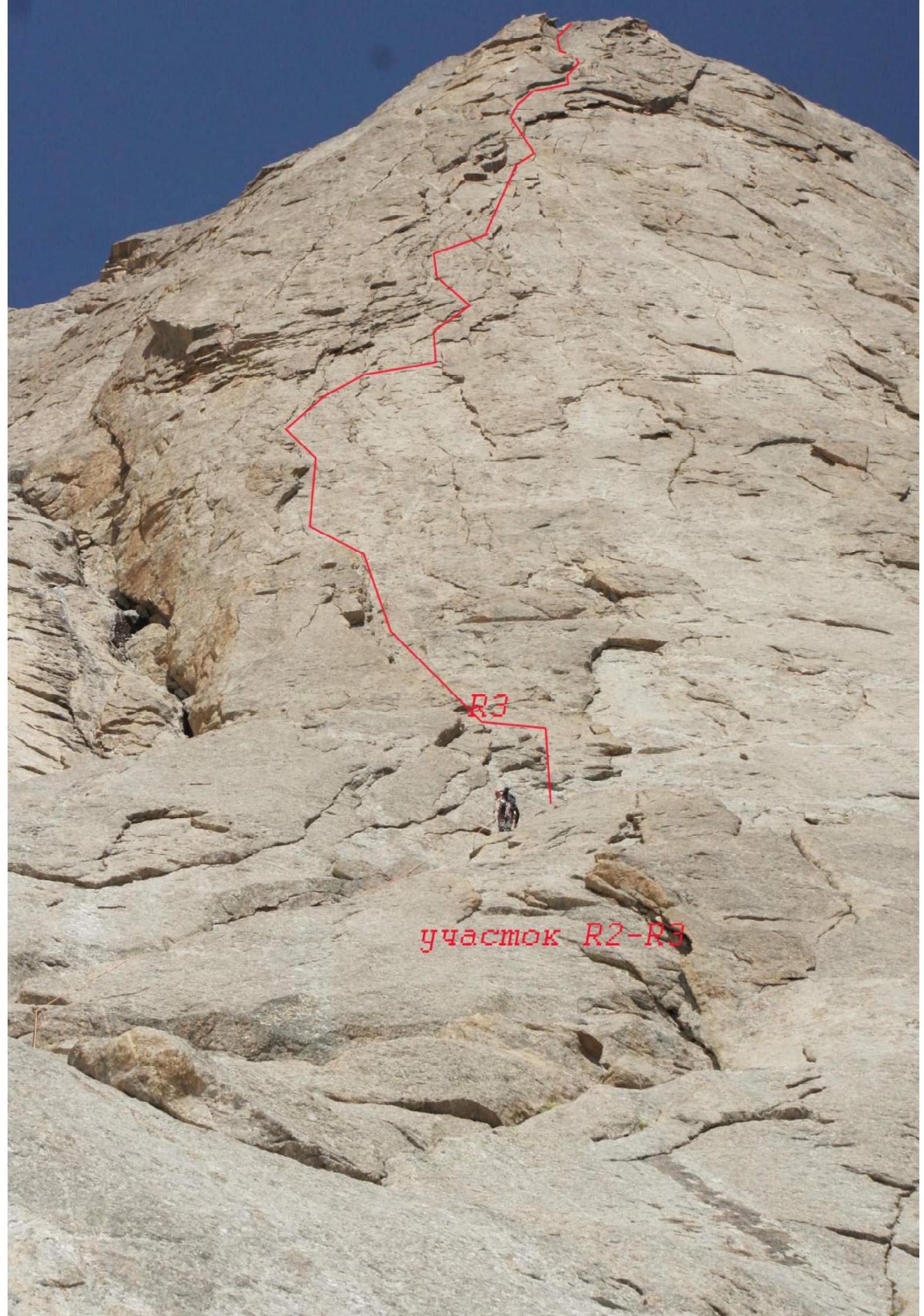
R2–R3 From the station, move 5–7 m up and right along the internal corner, then along the upper crack, and up through flakes to a ledge. Traverse left along the ledge for 4 m to a bolt. 30 m, grade 4, 55°; then 25 m, grade 5, 70°
R3–R4 Move left and up through internal corners formed by flakes, occasionally slightly right of them through smaller flakes to a bolt. 60 m, grade 5, 75°
R4–R5 Continue moving through flakes; bypass a destroyed cornice on the right and move further up through flakes to a ledge with a bolt. 60 m, grade 6, 80°
R5–R6 First, move up, then right to bypass a "live" orange-colored block, and return left along a slab on a "coil" (difficult). Do not move right into the system of flaking cornices! Move left onto a ledge! The station has a bolt. 55 m, grade 6, 80°
R6–R7 Climb up a "dead" internal corner under a cornice, then traverse right (holding the cornice from below, feet on friction). After the traverse, climb up through an internal corner with a crack to a ledge at the base of a large internal corner. The ledge has a bolt. 30 m, grade 6, 80°
R7–R8 Move up the internal corner with a crack. Very interesting, precise, and challenging climbing with ample protection opportunities. After passing the crack, reach a ledge with many loose rocks. The wall ahead is not monolithic; carefully bypass the destroyed section on the left and climb a wall with many cracks to a ledge with a bolt. 35 m, grade 6, 85°; 25 m, grade 5, 65°
R8–R9 Climb 5 m up to a ledge, traverse left around a corner, and climb up through a system of cracks to a ledge with a bolt. 55 m, grade 5, 80°
R9–R10 Climb left and up through broken rocks to a 5-meter wall with a crack; climb up through the crack to the base of a "tooth" that is bypassed on the right. Merge with the Sitnik route, category 5A. 40 m, grade 4+, 60°
R10–R11 Traverse right, bypass a ridge "gendarme," then move right and up to the ridge. 20 m, grade 2, 0°; 20 m, grade 4, 70°
R11–R12 Climb along the left part of the ridge towards the summit until a dip, then climb a small wall to the summit. 40 m, grade 2
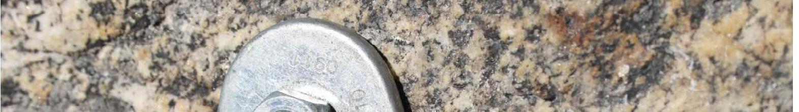
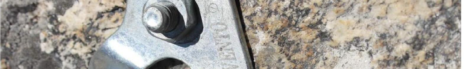
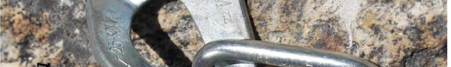
Bolt on station
Working on R1–R2 section
R2–R3 section
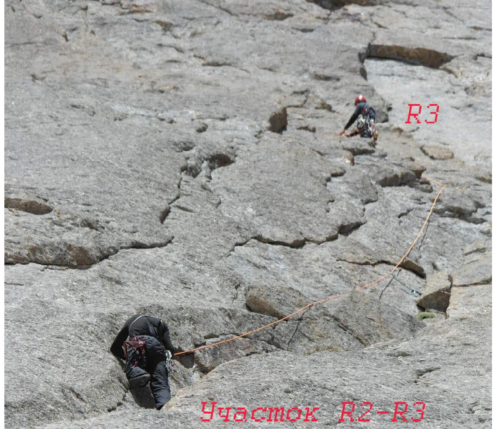
R3 on R2–R3 section
Climbing R4 section

Ascent Record (June 11, 2015, 16:40)
A team of climbers from Fasil St. Petersburg, consisting of 3 people:
- I. N. Penchev (leader)
- A. M. Sukarev
- M. V. Parkhimchik
Completed an ascent of Usen via the Sitnik route on the center of the eastern wall, category 5A. Found a note from the "Davi" team (Ekaterina). Weather conditions were good.
Comments
Sign in to leave a comment