Passport
- Technical category.
- Pamir-Alay, Turkestan Range, Ak-Su valley.
- Peak Ak-Su/Northern (5217 m).
- Category of complexity 6A.
- Height difference 1510 m, length 2080 m, including 1550 m of bastion.
- Average steepness of the route 68 Average steepness of the wall part 72
- Pitons hammered: rock: 22/1+6* placed: 103/14+1* ice: 184 bollards: 15 removable: 23/9
- Team's travel hours — 64.5 Days — 7
- Overnights — all on a platform.
- Team leader: Mineev Boris Gennadievich — CMS, Vashlyaev Alexey Yurievich — 1st sports category, Kirievsky Gennady Pavlovich — MS.
- Coach: Kirievsky Gennady Pavlovich — MS.
- Approach to the route August 12, 1998. Summit August 18, 1998. Return August 21, 1998.
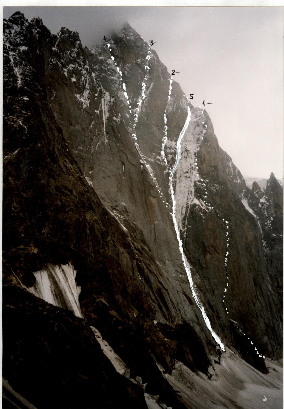
Routes
- Troshchinenko
- Moinigova
- Chaplinsky
- Popov
- 2nd ascent via Antonov's route, completed by the team
Route description by sections
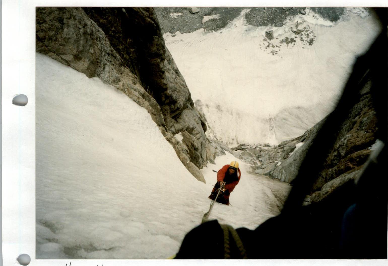
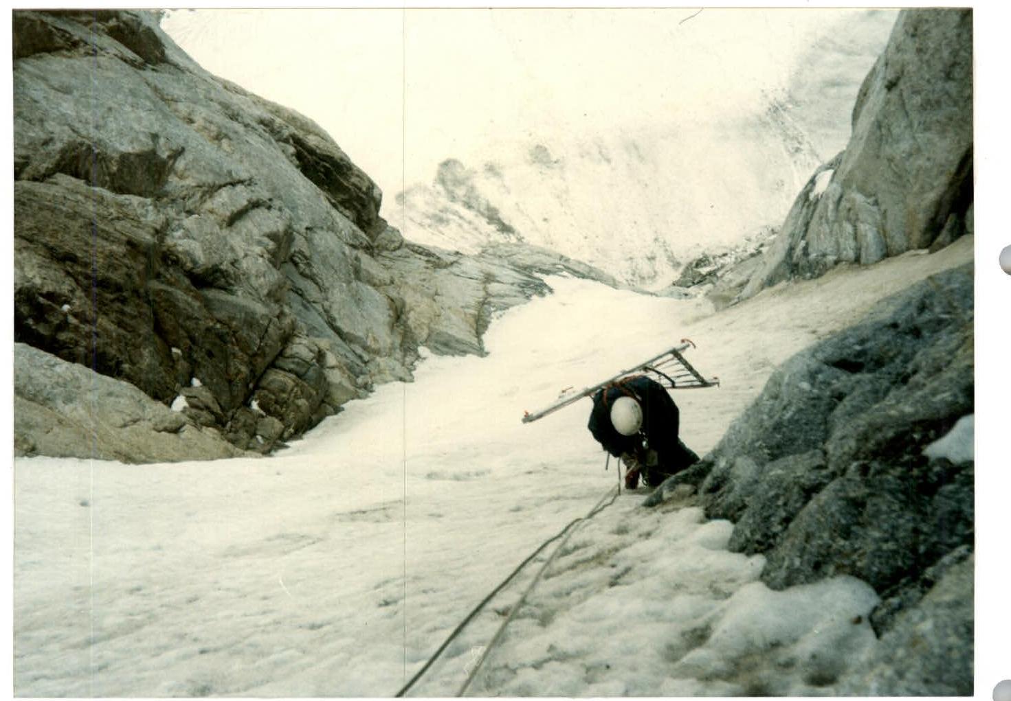
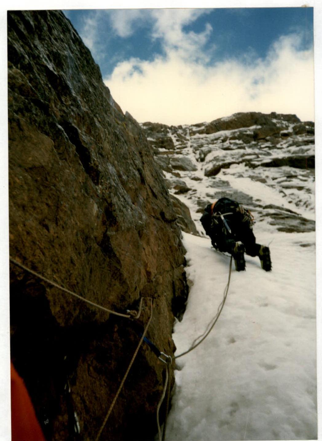
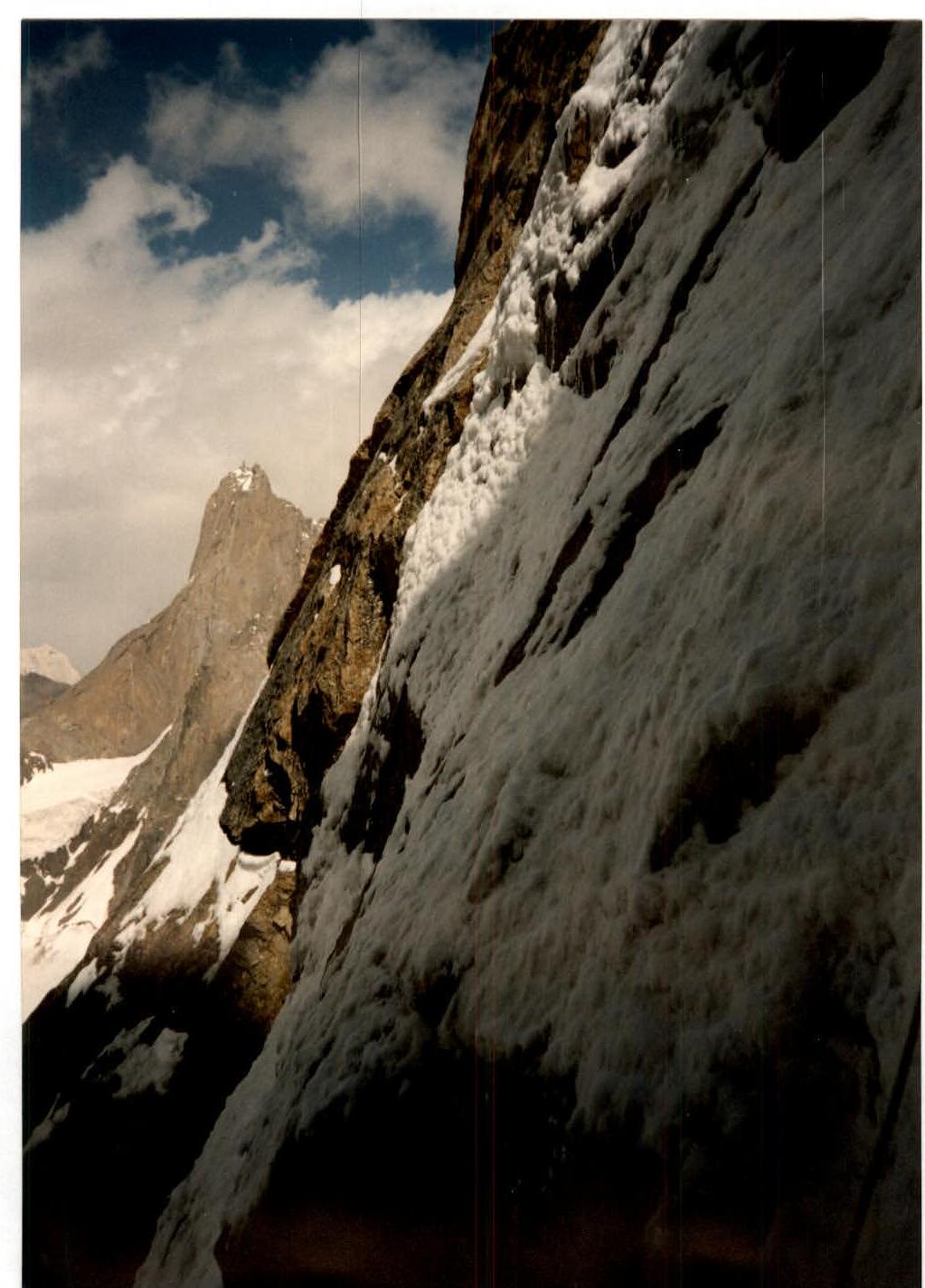
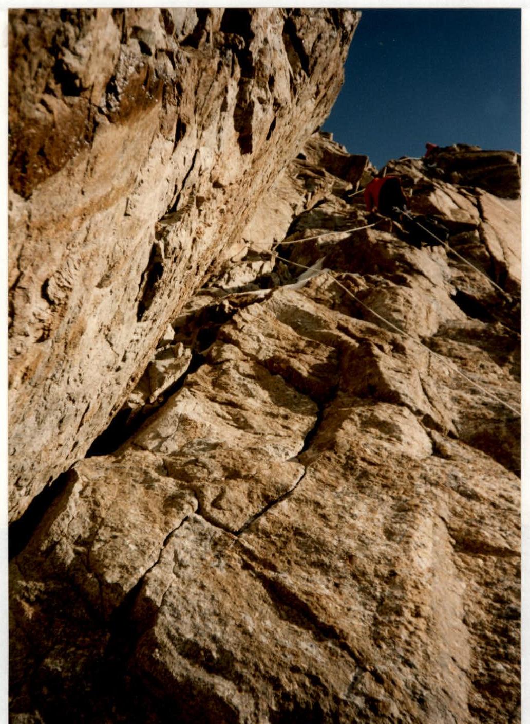
R0. — Approach to the bergschrund via firn to the left part of the bergschrund in crampons. R1. — Through the bergschrund along the ice slope to the rock wall. R2. — Thin crack, ITO, via "ram's foreheads" to the vertical wall. R3. — Series of vertical walls traversed by free climbing, last one with ITO. R4. — Along the ice slope to the left side of the gorge. R5. — Along the ice gullies on the left part to a rock outcrop. R6. — Steep hard ice, movement along the left part to rock islands. R7. — Traverse right to an ice gully, movement along the right part of the ice gully. R8. — Belay station under an overhanging slab, up to a vertical ice-filled section, ITO. Overnight under an overhanging wall. R9. — 15 m up the ice gully and diagonally left along rocks filled with ice to the left part of the gully. R10. — Via ice "snouts" to loose ice, rock outcrops filled with ice, ITO. Exit under the base of the internal corner. R11. — Along the rock wall with ITO, exit left to the left part of the internal corner. R12. — Corner filled with ice, ITO, exit to vertical walls, ITO, under a huge cornice. R13. — Traverse right under the cornice to an ice gorge. R14. — Via ice crusts to ice, up, overnight on a snow ledge (transition to Moshnikov's route). R15. — Along ice gullies up to a large internal corner. Overnight under a triangular wall. R16. — Via internal corners filled with snow, exit under an internal corner that leads to the ridge. R17. — Along the right part of the internal corner, via a crack up to a ledge on the right for belay. R18. — Via a slab with free climbing to a ledge (overnight) under an overhanging wall. R19. — Up to the ridge. First "gendarme" on the left up via a crack, ITO, second "gendarme" — start with sky hooks up left and, bypassing the "gendarme" on the right, to a smooth inclined slab. Everywhere with ice and snow. ITO. Further under the wall with an internal corner leading to the ridge. R20. — Up along the ridge, free climbing. R21. — On friction up along the sharp ridge to a loop, rappel right 7 m, traverse right with exit to the top of the cornice in a snow "mulda". R22. — Up along an inclined slab to a "proval". R23. — Inclined slab, 15 m along it, via a "blind" crack and traverse right around the corner to a loop, from it rappel 10 m to a wall leading to the ridge to the summit. From the ridge, the first rappel loop for descent to the base camp. R24. — Along the ridge to the summit, bypassing the "gendarme" on the left. Belay via outcrops. R25. — Summit.
Technical and tactical actions of the team
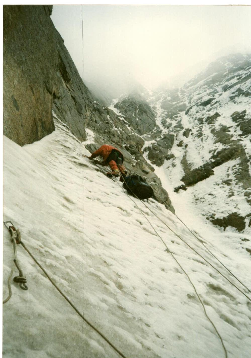
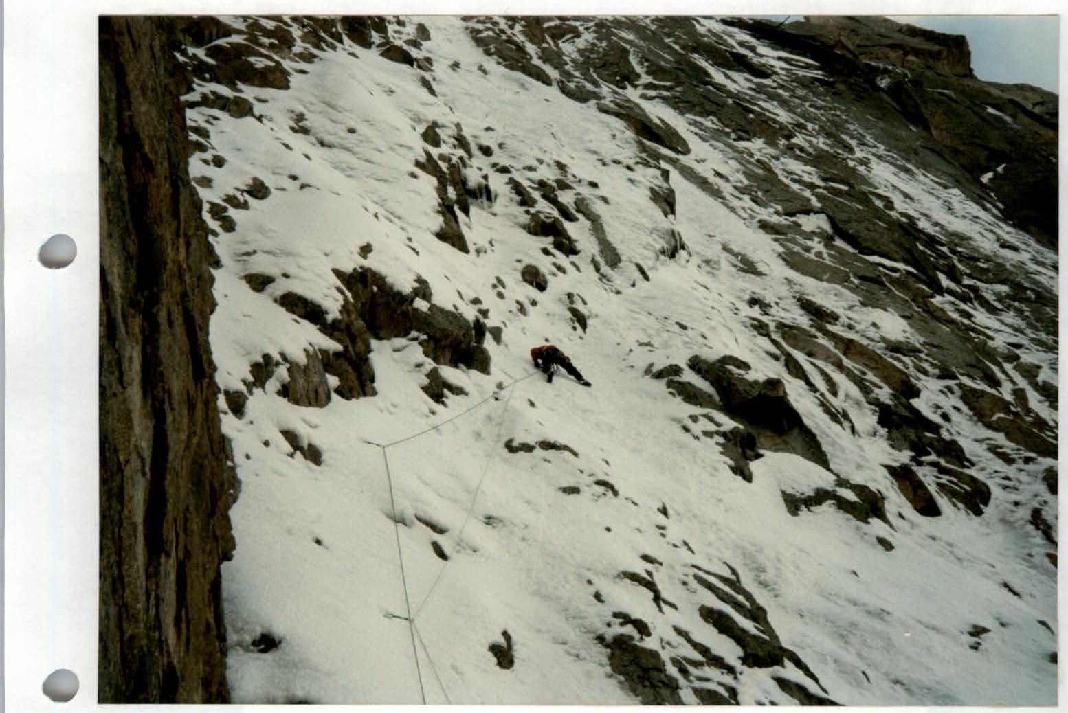
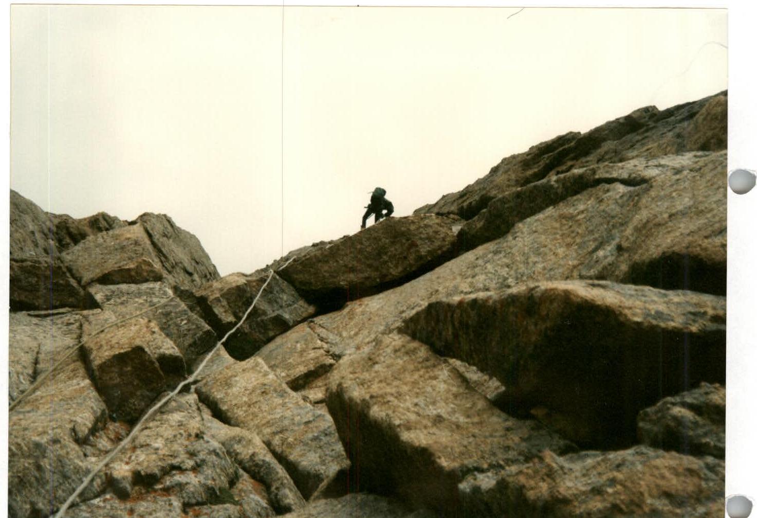
For safety reasons, the exit to the route was scheduled for 4 am. By the time the sun started illuminating the top of the north wall, the team had passed the bergschrund and the gorge, where ice and rocks were falling from above. The first quarter of the route consists of ice sections. Fifes were used.
After continuous rains, an ice crust formed on some sections, and the first participant used an ice axe. On ice sections, belay stations were organized on three ice axes, and it was necessary to chop off 15–20 cm of loose "porridge" to reach the ice.
The second half of the route went along rocks filled with ice; the leader used the entire arsenal of mountaineering equipment (sky hook, camalot, placed elements). They tried not to use pitons, as the cracks were filled with ice. When passing two ropes, they had to retrieve a file and sharpen the fifes and crampons for the first participant.
The team had a platform, which allowed them to work until 18:00–19:00. Then they organized an overnight stay (the platform was secured on 3 removable bollards, additionally on placed elements and pitons). Each participant wore gortex, allowing them to work all day, regardless of weather conditions. A sufficient amount of gas allowed them to prepare dinner and dry themselves on overnight stays. At the stations, all belay points were interconnected.
The qualification of the participants allowed for a leader every day. Nutrition was "hot" twice a day with an individual daytime snack. The first-aid kit was with the second participant.
The team completed the route smoothly, without failures or injuries, according to the tactical plan.
 Participant №4
 Participant №5
 Participant №7
 Participant №7
 Participant №15. Entry to the right from the snow ledge.
 Participant №17. Exit via the internal corner to the ridge.
 Participant №17.