PASSPORT
- Rock climbing category
- Pamir-Alay. Fann Mountains. Imat valley.
- Patrush peak.
- Proposed 1B category of difficulty. First ascent.
- Height difference 200 m. Length of sections: 2nd category of difficulty – 150 m 1st category of difficulty – 400 m
- Pitons not used.
- Moving time – 2.5 hours
- Group members: Baykovsky Yu.V., Gupalov A.
- Coach: Baykovsky Yu.V. Master of Sports, 1st class
- Ascent completed on September 1, 1994.
- Organization: State Sports Committee of the Republic of Tajikistan. Association of Alpinism, Rock Climbing, and Travels of Tajikistan.
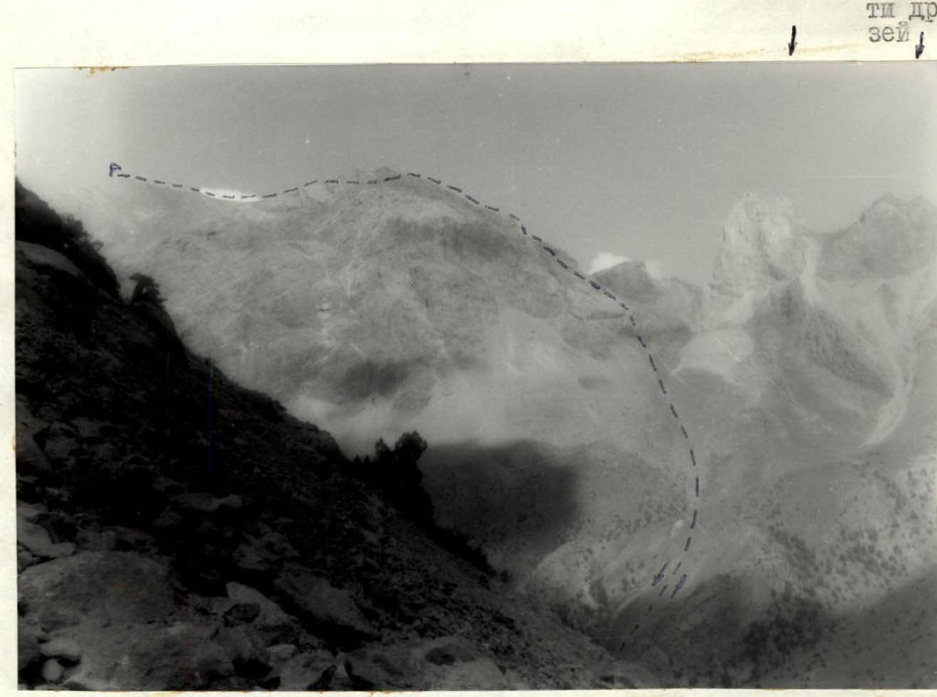
PHOTO OF PATRUSH PEAK (4040 m)
Photo taken from the cirque of Bolshaya Ganiza peak (from the west)
View of Patrush (from the north) Tower of Memory of Friends
 |  |  |  |  |
|---|---|---|---|---|
| 1 | 3-6 | 30 | 70 м | 1 |
| 1 | 6-7 | 45 | 30 м | 2 |
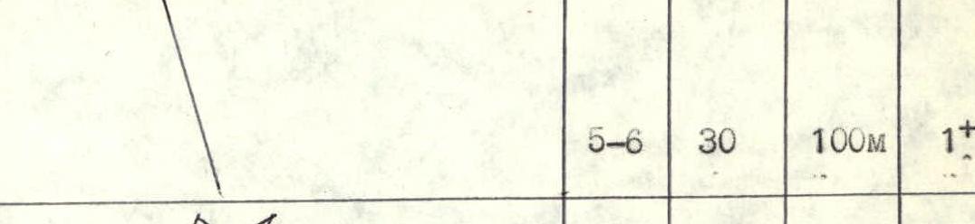
| 1 | 3-6 | 30 | 100 м | 1 |
| 1 | 4-5 | 30 | 50 м | 2 |
| 1 | 3-4 | 30 | 130 м | 1 |
| 1 | 2-3 | 40 | 70 м | 2 |
| 1 | 1-2 | 30 | 100 м | 1 |
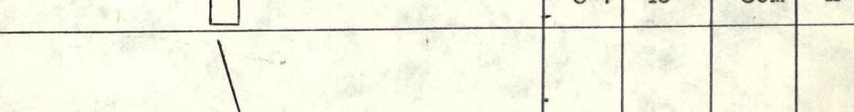
ROUTE SCHEME IN UIAA SYMBOLS
| Section # | Steepness | Length | Difficulty |
|---|---|---|---|
| R8–R9 | 40° | 10 м | 2 |
| R7–R8 | 30° | 70 м | 1 |
| R6–R7 | 45° | 30 м | 2 |
| R5–R6 | 30° | 100 м | 1 |
| R4–R5 | 30° | 50 м | 2 |
| R3–R4 | 30° | 130 м | 1 |
| R2–R3 | 40° | 70 м | 2 |
| R1–R2 | 30° | 100 м | 1 |
ROUTE DESCRIPTION BY SECTIONS
The entire route is clearly visible from the cirque of Patrush and Bashnya Pamyati druzey peaks. Approaching the start of the route from the shepherd's summer camps takes 2–2.5 hours. From the cirque, move towards Bolgarsky pass and, 300 m before reaching it, go to the saddle between Patrush peak and a powerful gendarme on the pass.
From the saddle:
- Up to the left along the ridge on steep scree for 100 m to the rock belt.
- Through an inner corner for 70 m to reach the ridge going left.
- Go 130 m along ledges and the ridge to reach the shoulder of Patrush peak.
From it, there is a good panorama of the entire Imat area.
From the shoulder:
- Go in the direction of the peak and descend along the rock belt to the saddle.
From the saddle, go 100 m up in the direction of the peak to a rock bastion. Through a series of ledges and walls for 30 m to reach the bastion. Then along the ridge to the peak for 80 m.
Overall, the peak is a table mountain encircled by powerful rocks. The easiest ascent option is the route we described. From the north and east, it is possible to climb via routes of 2nd-4th category of difficulty. However, one should consider the relatively high rockfall danger on the rocky sections.
The route climbed by the duo is logical and safe. On the descent, one should be cautious of steep rocks, as the pass is not clearly visible from the shoulder. Therefore, from the shoulder, one should move exactly along the ascent path.
The ascent takes 2–2.5 hours.