Ascent Report to Peak Rufina via the Southeast Ridge
First ascent. Cat. 2B.
- Route classification: Technical.
- Mountain region: Pamir-Alay, Fann Mountains, Zeravshan Range. Alaudin Valley.
- Peak name, height, route: Peak Rufina (4150 m), via the 3rd ridge.
- Cat. sl.: 2B.
- Elevation gain: from the start of the route to the summit – approximately 400 m. Wall section – 300 m. Average steepness of the wall section – 40°.
- Equipment on the route: 1 rope 10 mm × 50 m. Anchor pitons – 5 pcs., chocks – set, cams – 6 pcs., pitons – 5 pcs., 2 sets of trekking poles.
- Dates of ascent: August 27, 2016.
- Participants:
Denis Trynin, Pavel Berestov. Coach – Kuznetsova E.

Area Map
Description
Departure from the camp at 6:00 towards Talbas Pass. It is more reasonable to ascend via the dry riverbed, staying close to the left side of the rock wall. Climbing onto the central moraines is not necessary. The starting point of the route is indicated by:
- the last group of juniper bushes on the left (there are no more bushes until the pass). Reaching the aforementioned point, a large gap opens up in the ridge to the left. The start of the route is at its base.
- From the camp – 2 hours to the start of the route.
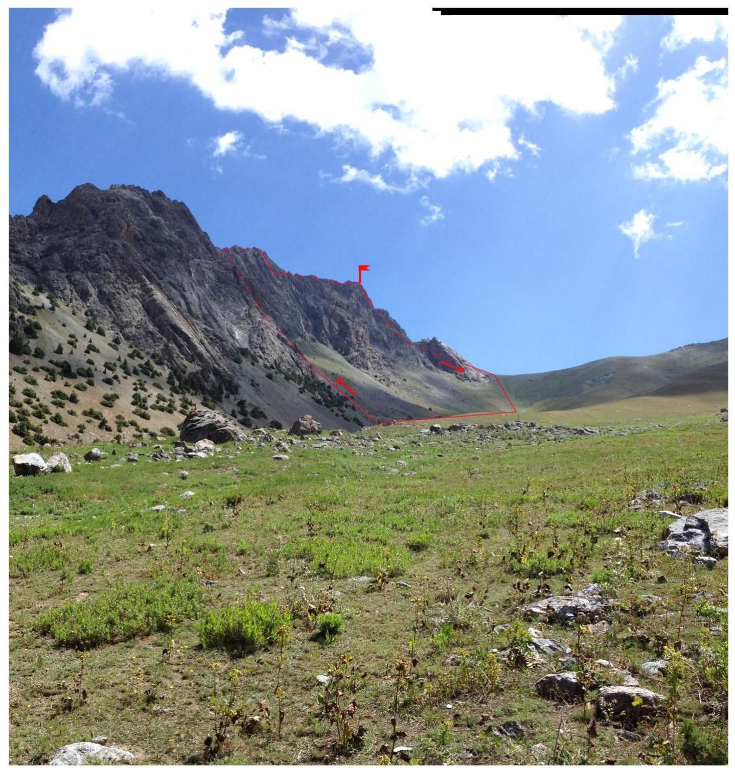
View of Talbas Pass and Peak Rufina from the approaches to Alaudin-Vertical MATC 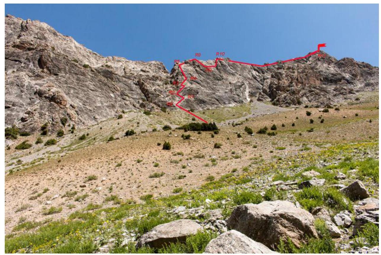
Route thread. Photo from the neighboring moraine 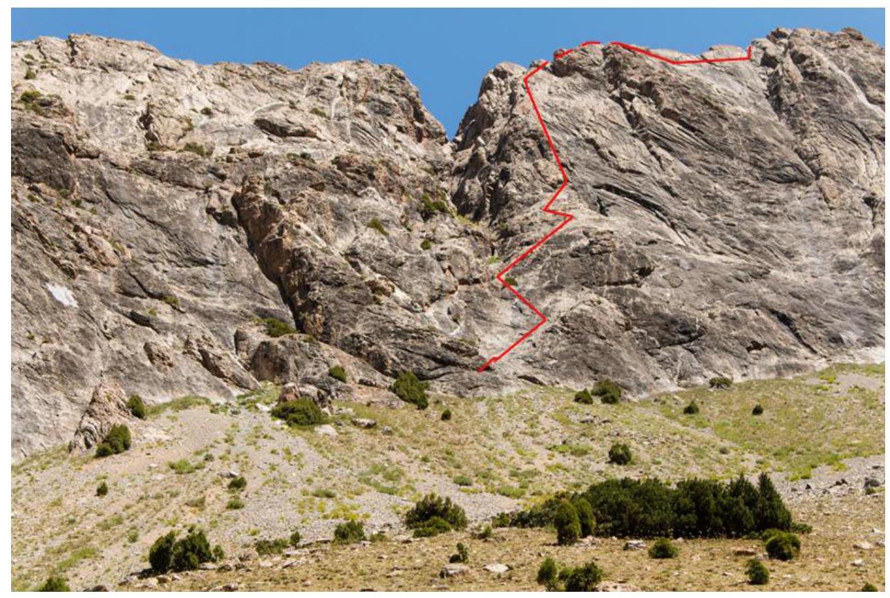
R0–R1, 50 m, 35°, 2 from the base of the gully (the station can be set up slightly to the left on a juniper): up 3 m and then 45 m up to the right along an inclined slab to a protruding bush. Simple climbing. Be cautious in bad weather as rocks may fall through the gullies!
R1–R2, 25 m, 50°, 3+
- Up to the left, a careful transition through overlapping slabs towards the main gully.
- Station on the right side of the gully on anchors.
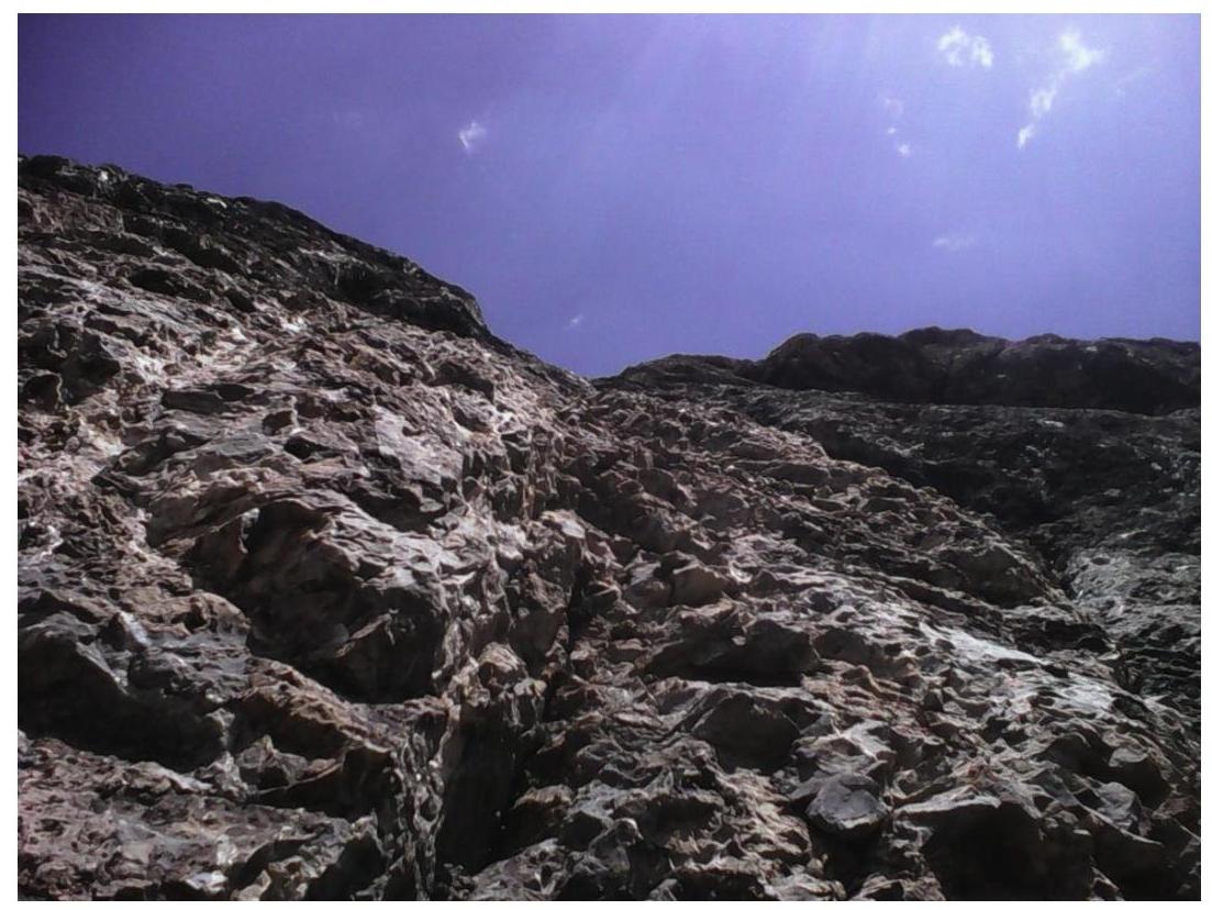
Section R2–R3 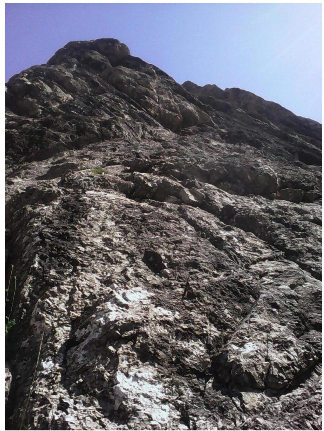
Section R3–R4 from below 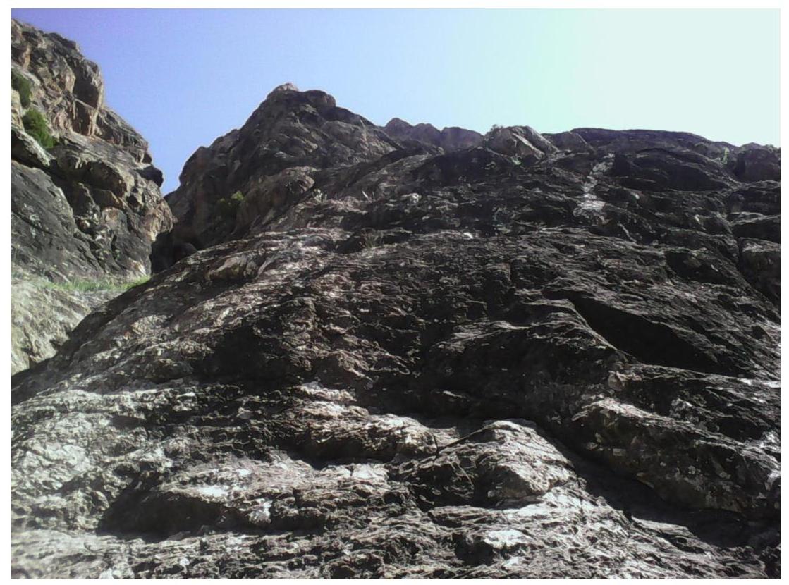
R2–R3, 50 m, 45°, 3
- Up to the right along the right side of the gully under a white "blob".
- Station on cams and anchors.
R3–R4, 45 m, 55°, 4Б
- Bypassing the "blob" to the right and up.
- Exit under a large flake on the ridge.
- Station on a tree and cams.
Section R3–R4 in the middle
R4–R5, 50 m, 30°, 3 up to the right side of the ridge under a visible tower.
Section R4–R5 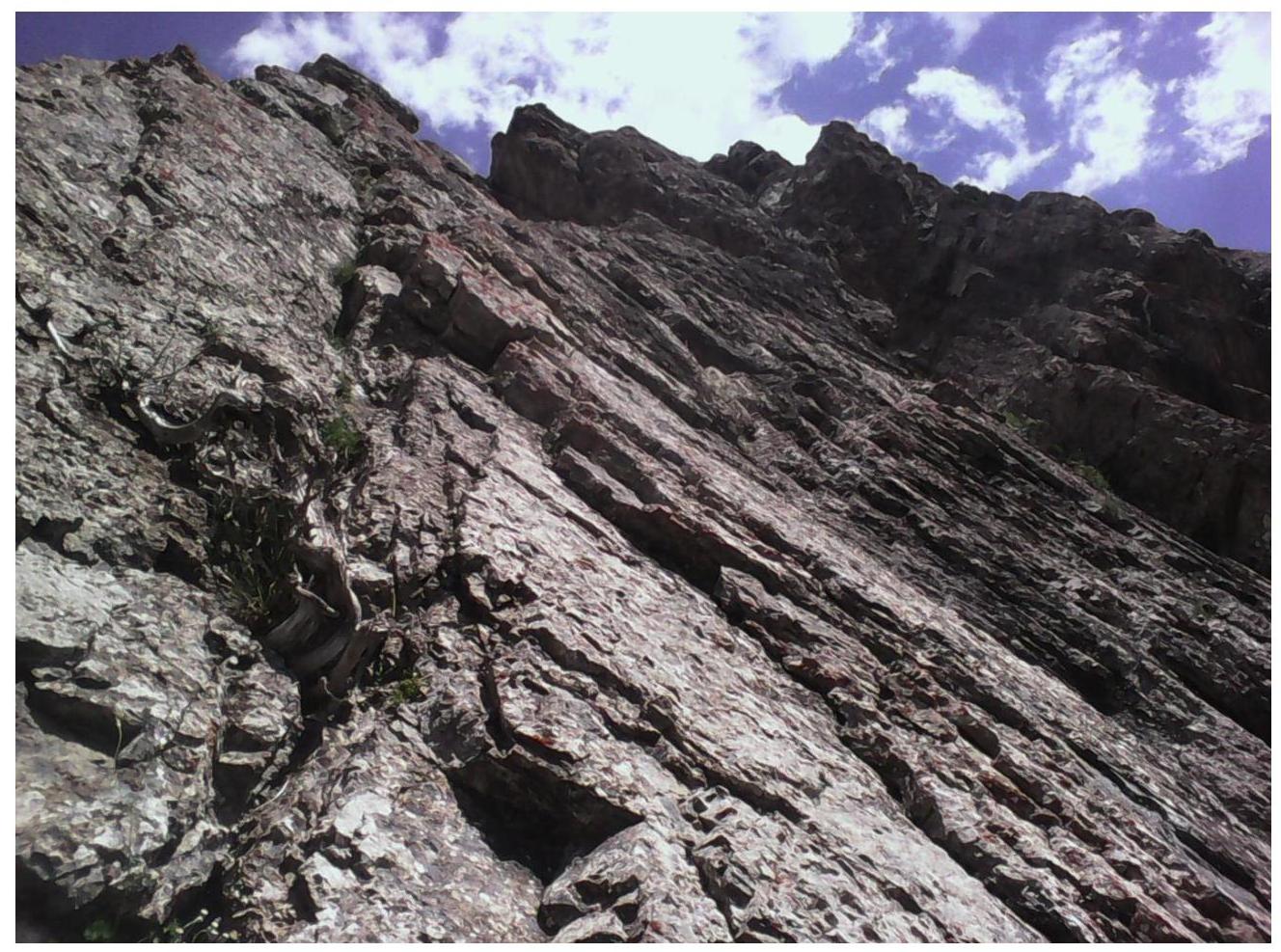
R5–R6, 50 m, 20°, 2 simultaneously along simple rocks, exit onto a tower, where a control cairn is located on a convenient platform.
R6–R7, 50 m, 2 traverse along the ridge, carefully pass along a ledge-crack to a stone, from where a crack goes up.
R7–R8, 50 m, 50°, 3–4, exit up the crack onto the ridge under a white tower and bypass it on the left side of the ridge, then exit up the next "gendarme" via simple rocks.
R8–R9, 25 m, rappel to the right side of the ridge from a large stone on top of the "gendarme" along a crack-ledge to green bushes. 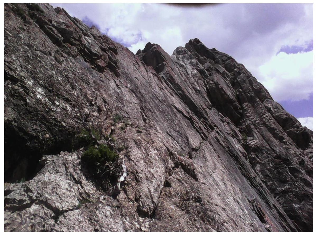
Section R9–R10
R9–R10, 50 m, 30°, 3 up to the right and then along the ridge towards the summit tower. 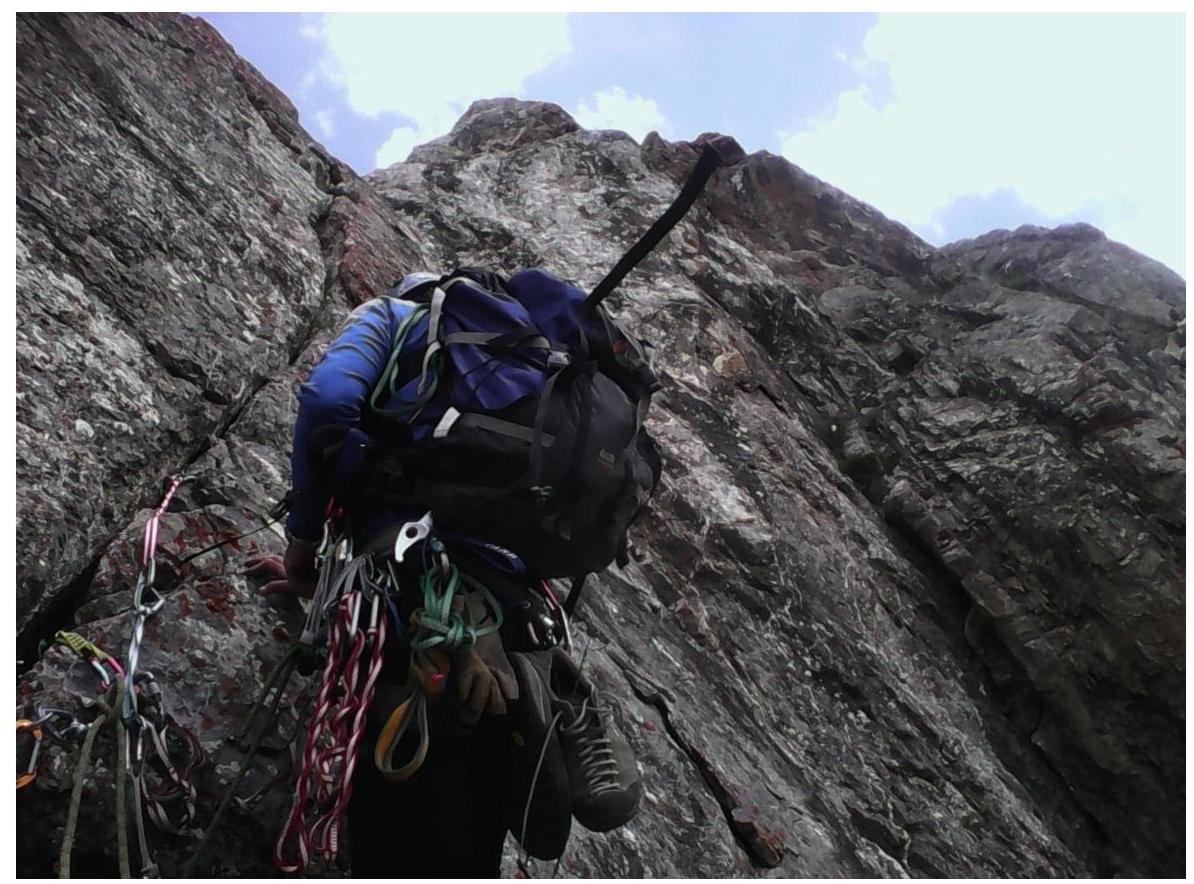
Section R9–R10
R10–R11, 100 m, 2 simultaneously along the ridge under the summit tower. 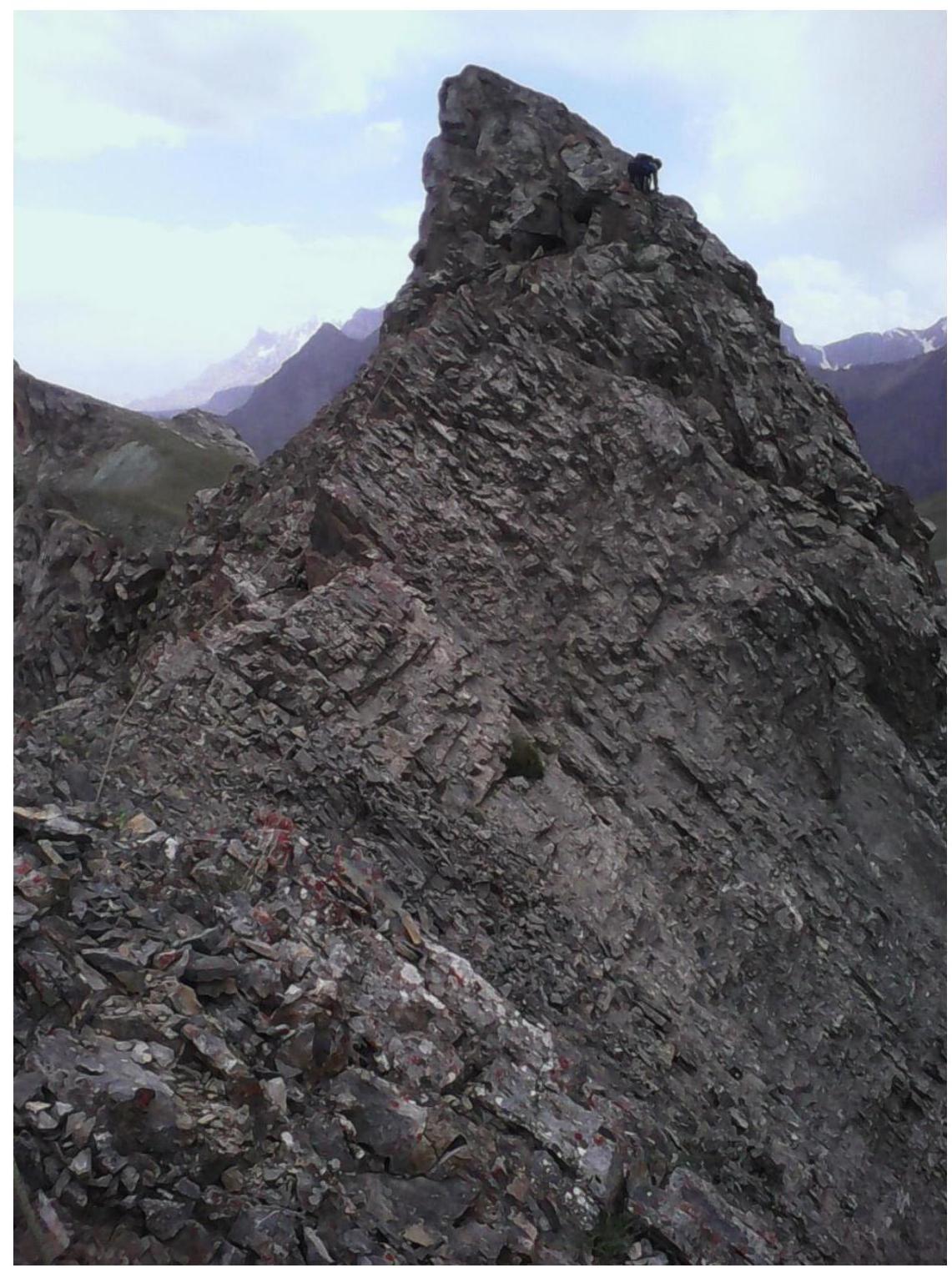
Sections R10–R12 Exit to the summit
R11–R12, 30 m, 45°, 3, exit to the summit. Many loose rocks.
From the start of the route to the summit – 6 hours. The entire route is conveniently climbed in rock shoes, as there is a lot of friction climbing on slabs. Not recommended for large groups, as part of the route to the ridge is potentially rockfall-prone.
Descent:
- 10 m of climbing.
- Then along the ridge after the summit to a stone where a rappel sling hangs.
- 25 m rappel to the right side to a juniper.
- Another 25 m rappel from the juniper (or a piton nearby) to a large ledge under the summit tower.
- From there, 50 m of simple climbing to a saddle.
- Then descend on foot to Talbas Pass.