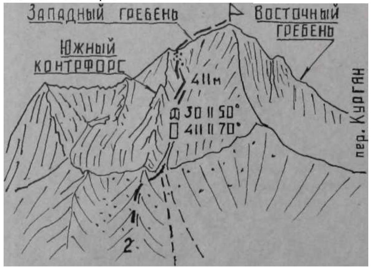
Kumbel
South of the junction peak of Jalan-Kanysh in the Kyzyk-Alay ridge, between the Chugam and Kurgan passes, stands a small simple rocky peak Kumbel with a height of 4180 m, with gentle tall scree slopes at its foot. Only one route has been laid to the summit — on February 16, 1987, a group consisting of V. Suviga, Yu. Gorbunov, S. Ovcharenko, and A. Studenin ascended to the summit of Kumbel via the southern slope. Ascents via the Eastern and Western ridges and from the north to the summit have not been made.
2. Kumbel via the southern slope of the Western ridge
The route is rocky, category 2A (fig. 5, 6, 8, 9). Length — 700 m, elevation gain — 400 m, time — 2.5–3 hours.
From the "Kyrgyzata" alpine camp (group of 2–6 people), cross the Kurgan river by bridge and ascend along the road on the left side of the Kurgan gorge. Pass through the juniper forest of the green cape, then ford the stream of the first lateral cirque of the Northern Kyzyk-Alay ridge, then — the southern scree slopes of the peak Burevestnik Kyzyk-Alaysky. Further along the pack trail, ford the stream of the second lateral cirque, formed by the ridges of the peaks Burevestnik, Kumbel, and the Northern Kyzyk-Alay ridge, and approach the scree slopes leading to the Kurgan pass. From the alpine camp — 3–4 hours.