Passport
- High-altitude technical climb
- Tian Shan, Tengri Tagh ridge
- Khan Tengri peak 7010 m, from the north, via Chapayev peak shoulder
- Category of difficulty 5B
- Height difference 2710 m, length – 3500 m
- Average steepness – 55°
- Pitons hammered in: rock – 25, ice – 15
- Climbing hours – 18 hours
- Overnight stays – 2 in a tent
- Leader — Gennadiy Kirievskiy – Master of Sports Anatoliy Volodko – Candidate for Master of Sports
- Coach — Gennadiy Kirievskiy
- Route entry 30 July 2001 Summit 31 July 2001 Return 1 August 2001
Technical and Tactical Actions of the Team
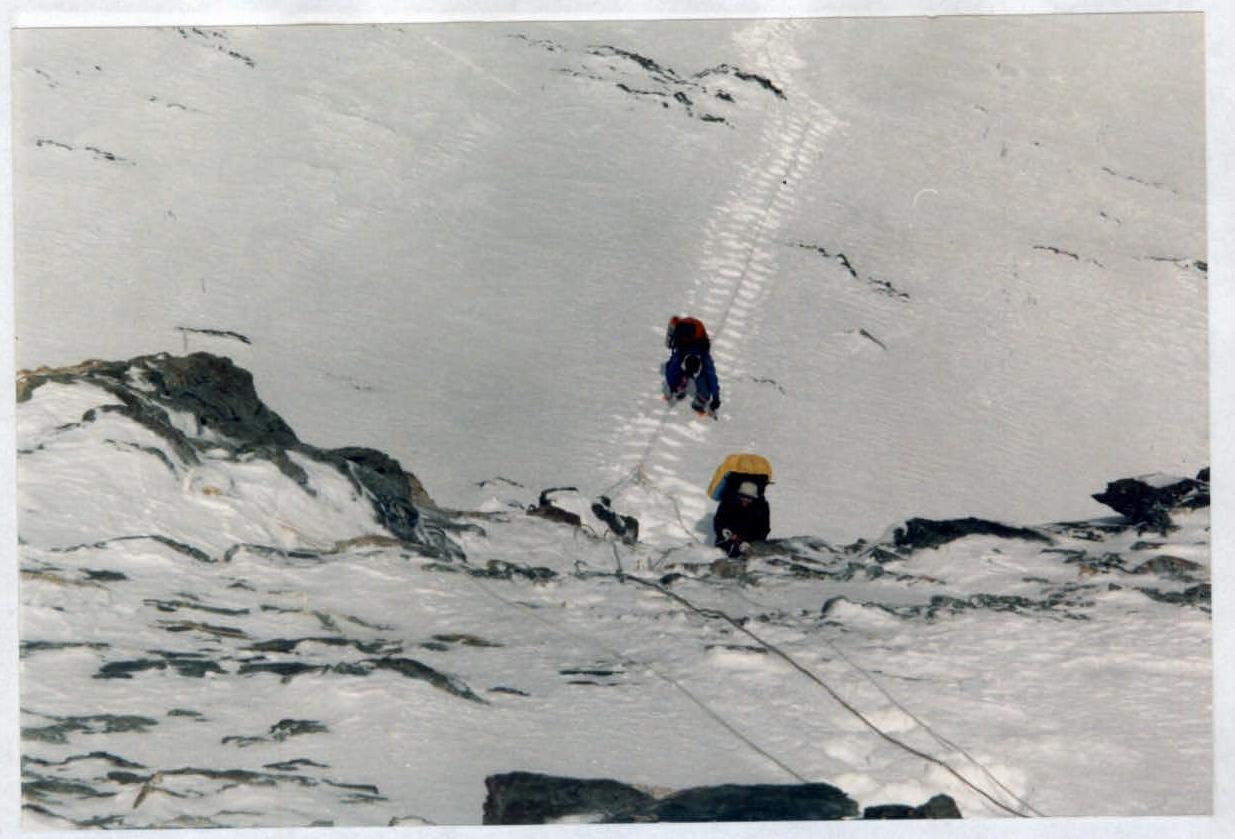
The tactical plan was developed to ascend the Gorenko 6B route via the north face. Having processed 4 ropes on the wall, the team was forced to return to the base camp due to a sharp deterioration in the weather. Avalanches began to descend down the wall, even where they were not expected. One of these avalanches buried all the team's equipment. Descending down, the team decided to attempt to climb Khan Tengri peak via the classic route through Chapayev peak shoulder 6100 m in two teams, with a 3-day interval. Having good acclimatization, the tactical plan was designed for a quick passage of the route with a descent to South Inylchek. The route was traversed in poor weather conditions (continuous snowfall and hurricane-force winds). Working waist-deep in snow and on icy rocks, our team ascended to Chapayev peak shoulder and descended to the 5800 m col "Camp 1", where a tent was set up. The second day was to be the summit push. The team departed at 7:00 am. The weather had not changed, but despite the icy rocks, frost, and wind, we reached the summit at 14:00 on 31 July 2001. The state of the route and the weather forced many teams to abandon their ascents. The presence of Core-Tex and WindBlock clothing, and a well-calculated amount of gas for hot meals and drying clothes, allowed the team to work on the ascent independently of the weather conditions and the state of the route. The team traversed the route competently, without any falls or injuries, in accordance with the tactical plan.
 Khan Tengri peak 7010 m 31 July 2001 R2
R1 5800 m 30 July 2001
R0 – 4050 m
Khan Tengri peak 7010 m 31 July 2001 R2
R1 5800 m 30 July 2001
R0 – 4050 m
 Route of the UFKSIT team from Magnitogorsk
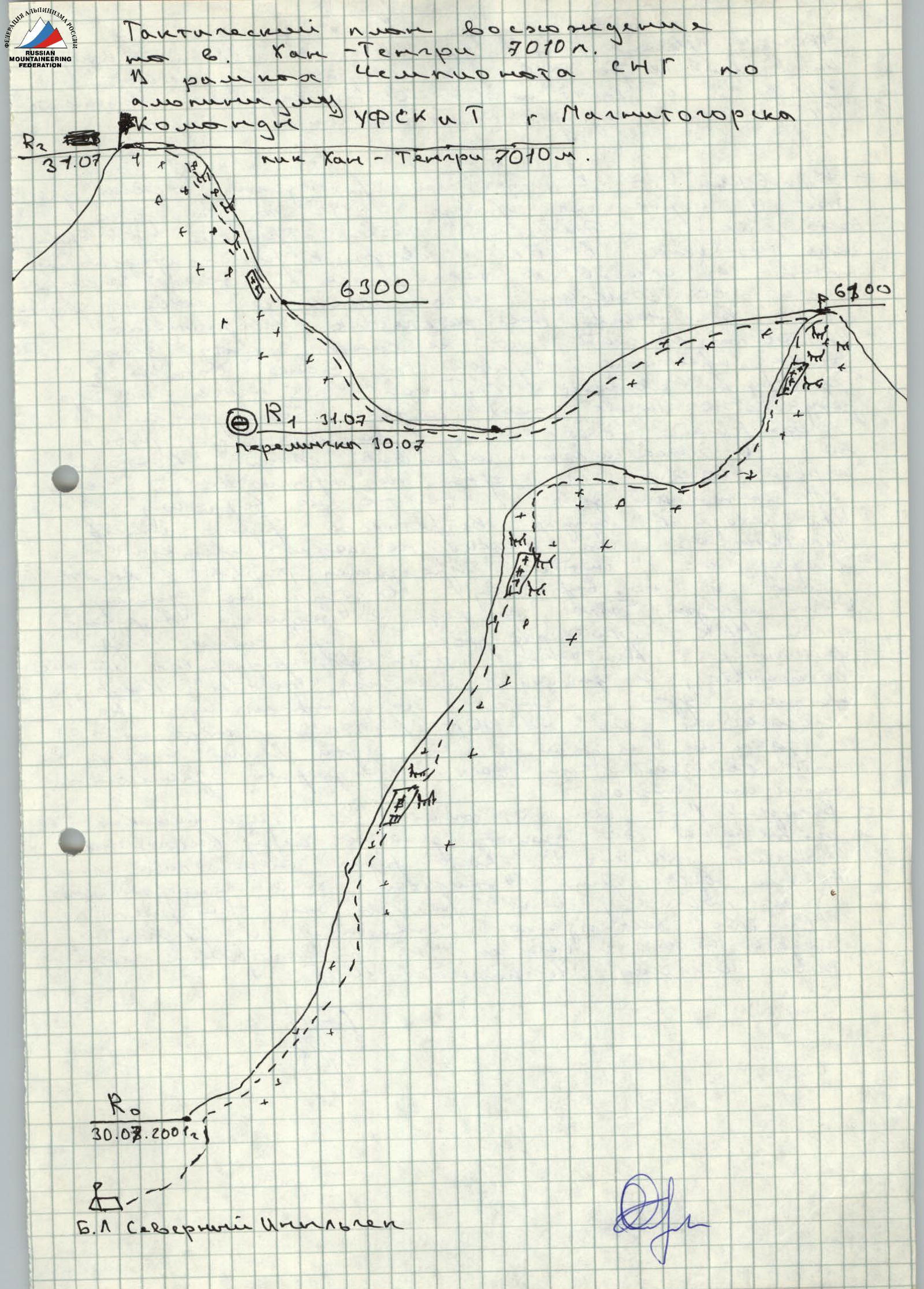
Approach and "VARANGIAN LAGGERS" ~ 5700 m 30 July 2001
Section R0 – Start of the route 4100 m 30 July 2001
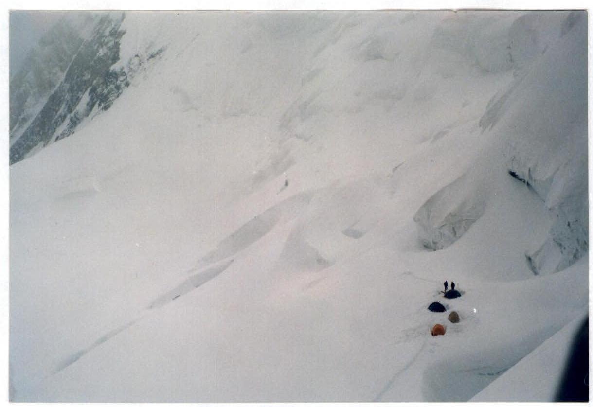
Section R1 – 5800 m. View of the camps during the ascent from S. Inylchek 30 July 2001
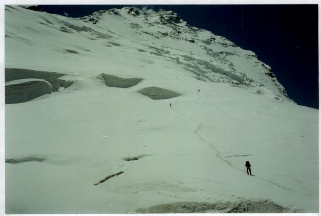
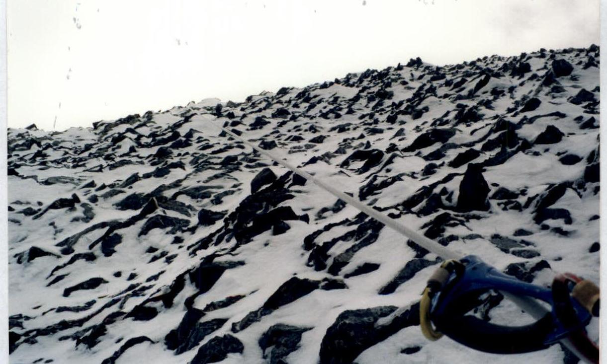
On the "BARAN'YE LOBES" ~ 5900 m 30 July 2001
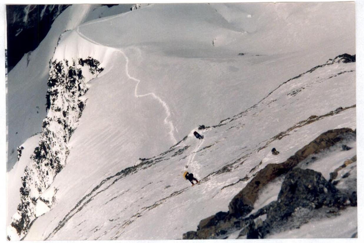
6700 m before entering the COULOIR 31 July 2001
Before exiting onto the snowy traverse to Chapayev peak shoulder – 6000 m 31 July 2001
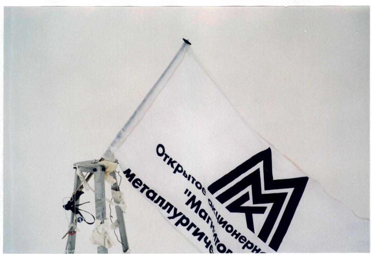
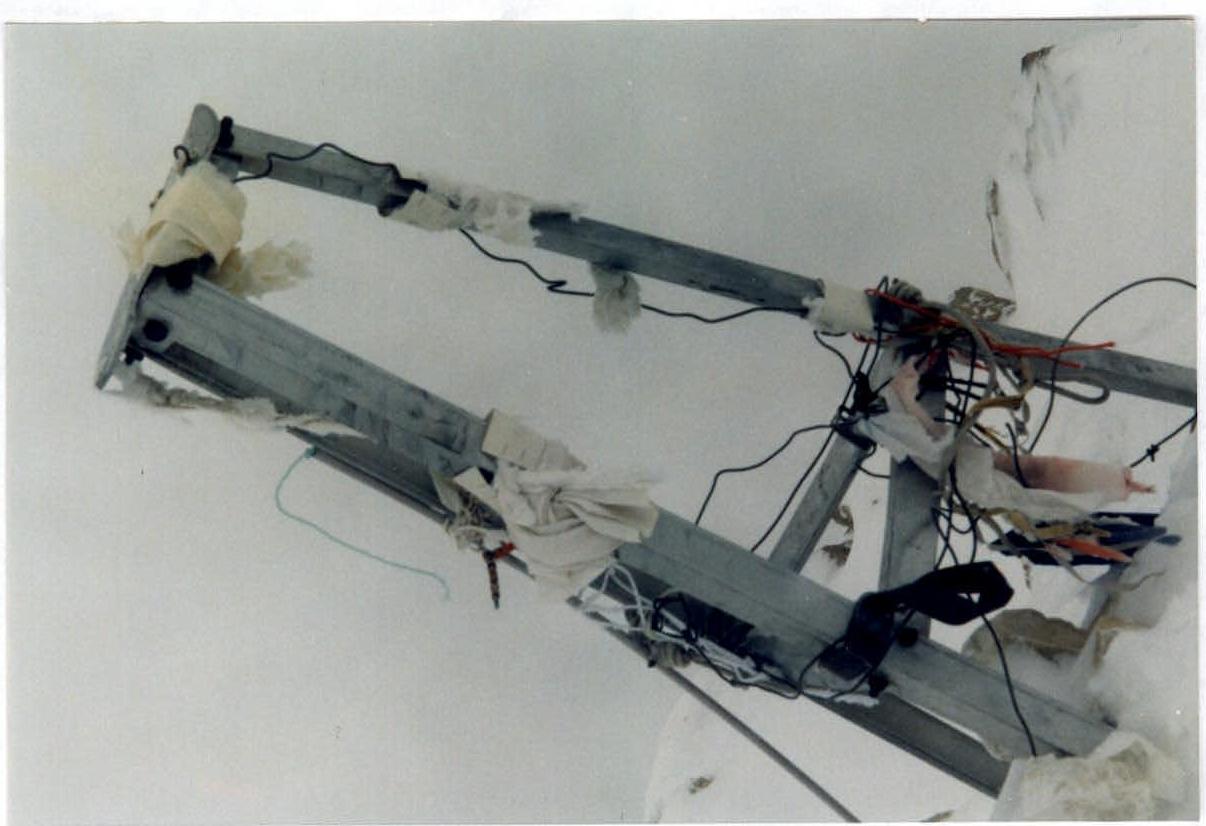
R2 – tripod on Khan Tengri peak 7010 m 31 July 2001 FLAG of MMK JSC – team sponsor UFKSIT Magnitogorsk
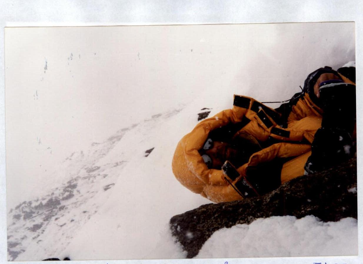
Participant on R2 – 7010 m