Ascent Passport
- Ascent class — technical
- Ascent area, ridge, gorge — Tian-Shan, Inylchinsky ridge
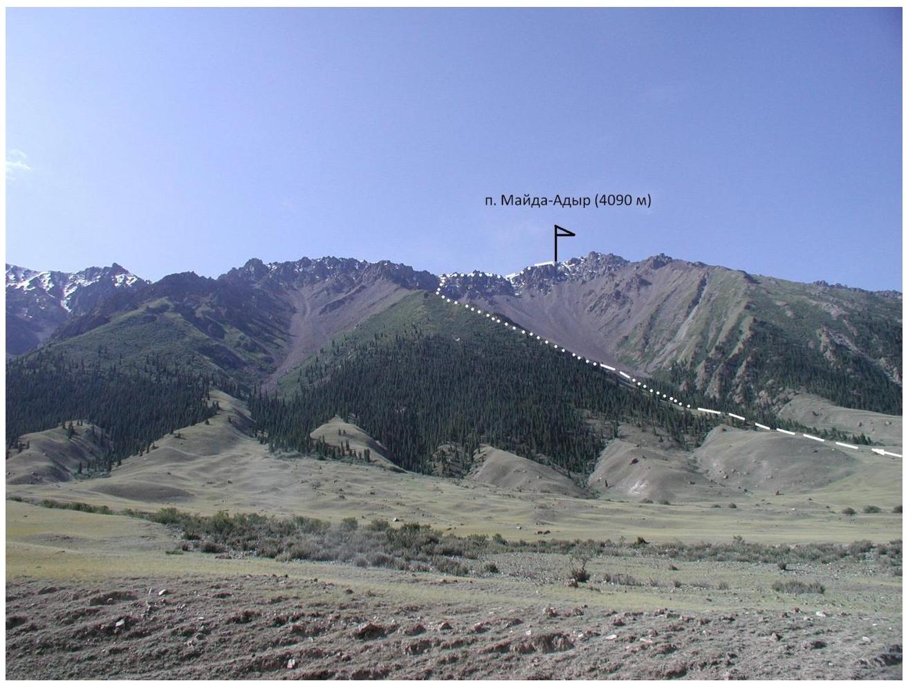
- Peak, its height, ascent route — Mayda-Adyr, 4090 m, via the left N ridge
- Route complexity category — 1B cat. diff.
- Route characteristics:
elevation gain — 1590 m, section length — average steepness —
- Pitons hammered for belay:
rock
- ice
- protection gear
- Number of climbing hours — 12 h
- Number of nights and their characteristics — none
- Climbers:
Leader — Zamorin Sergey. Participants:
- Biryukov Vladimir Nikolaevich
-
- Team coach — Zamorin Sergey
- Organization — Federation of Alpinism, Rock Climbing and Ice Climbing of the Kyrgyz
Republic. 12. Departure to the route and return — August 20, 2007, p.
Mayda-Adyr (4090 m)
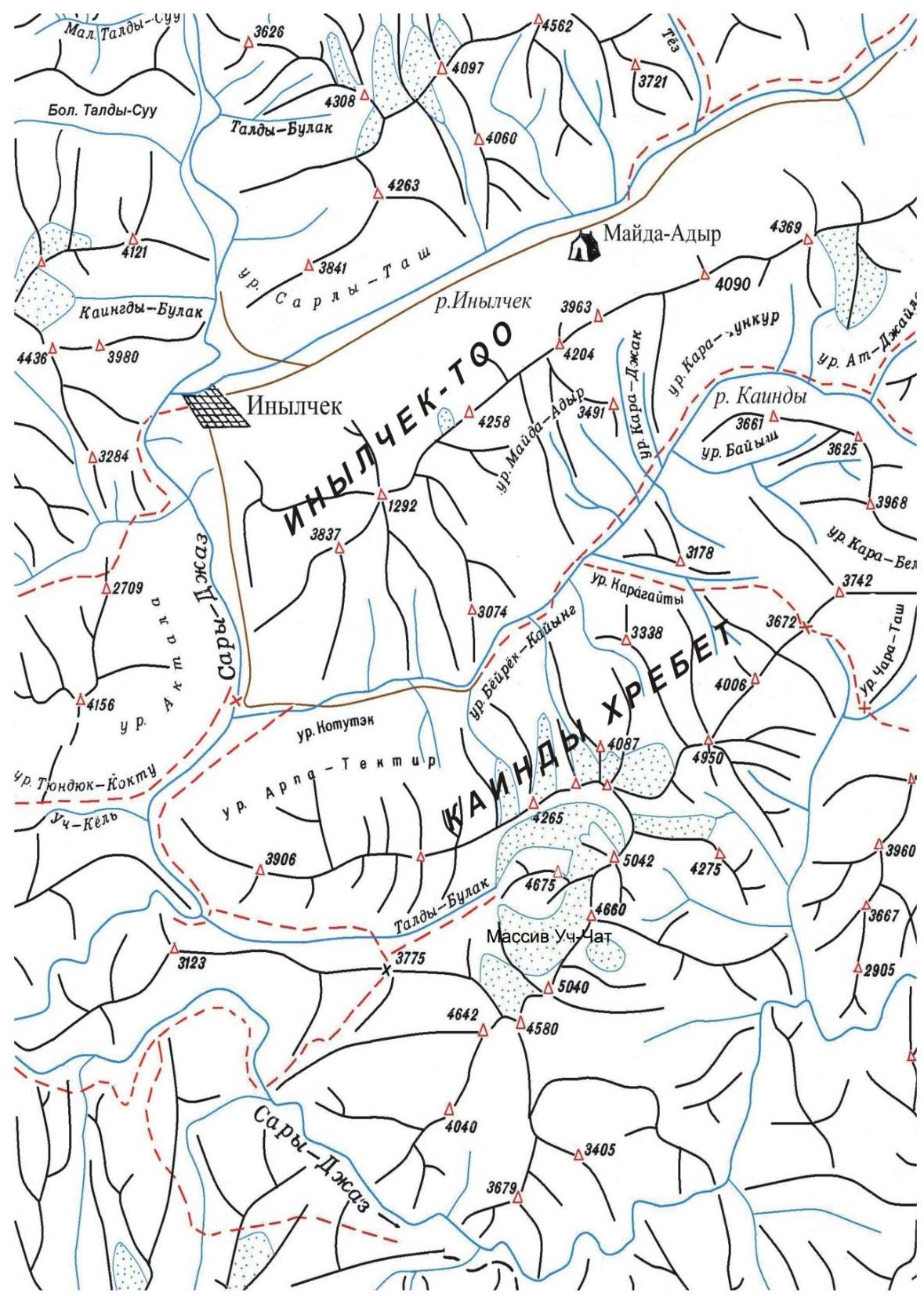
Orographic Scheme of the Area
Description of the Approach to the Route and Ascent
The path from the location of the Mayda-Adyr alpine base of Tian-Shan Travel company (2500 m) begins with an ascent to a terrace (15 minutes), then an ascent along the terrace to the Mayda-Adyr tract (15–20 minutes). Further, the path passes through the gorge of the tract, initially overgrown with spruce forest and bushes, with a fairly significant elevation gain to the start of the route (3100 m). The time to approach the route is 2.5–3.0 hours.
The route begins with an ascent to the ridge along a slope overgrown with grass, with an exit to the middle talus with a steepness of 30–35°. Then — an exit to the left North ridge. The ridge consists of destroyed rocks with separate standing rocky islands, which are bypassed. Exit to the main watershed ridge. Along the ridge — exit to the summit.
Descent via the ascent route.