North Tien Shan, Trans-Ili Alatau
Peak Oktyabrenok
via North-North-West ridge
For category of difficulty
Climbing Passport
- Region, valley, section number according to the classification table of 20__ year — North Tien Shan, Trans-Ili Alatau, Maloye Almatinskoye valley.
- Name of the peak, its height, name of the route: Peak Oktyabrenok 3650 m, via North-North-West ridge.
- Proposed: 3A cat. dif.
- Character of the route: rock
- Height difference of the route: 750 m
Route length: 1300 m. Length of sections: V cat. dif. — 0 m. Average steepness: main part of the route — 40°; entire route — 40°
- Number of "hooks" left on the route:
total 0; including bolted — 0
- Team's travel hours: no information
- Leader: no information
Participants: no information
- Coach: no information
- Exit to the route from BL: no information
Route started: no information
Reached the summit: no information
Return to BL: no information
Descent from the summit: via 1B cat. dif. route to Oktyabrenok pass
-
Organization: no information
-
Responsible for the report: K. Belotserkovskiy
Email and phone: k.belotserkovskiy@gmail.com, +7 701 736-18-87
General photo
of the wall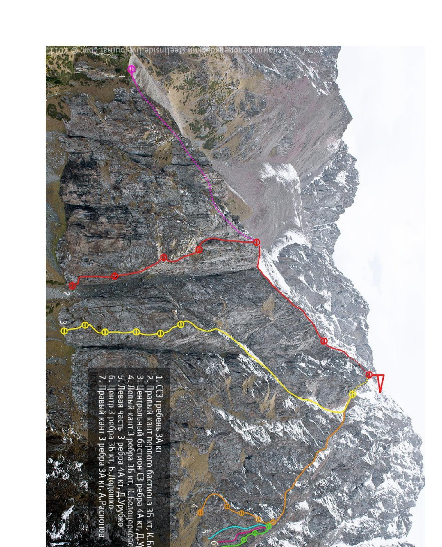
-
SSW ridge, 3A cat. dif.
-
Left edge of the first bastion 3B cat. dif. I. Belotserkovskiy
-
Central bastion via NW edge 4A cat. dif. D. Urubko
-
Left edge of 3rd edge 3B cat. dif. I. Belotserkovskiy
-
Left part of 3rd edge 4A cat. dif. D. Urubko
-
Center of 3rd edge 3B cat. dif. B. Deleshko
-
Left edge of 3rd edge 3A cat. dif. A.R. Khlyustin
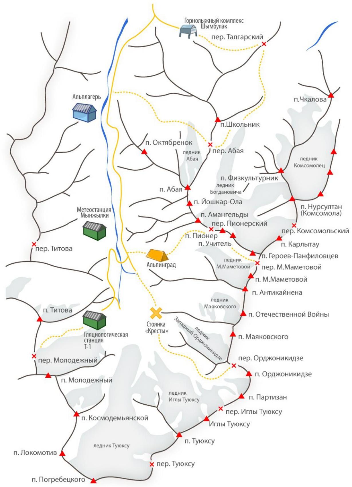
Map-scheme of the area
Description.
R0–R1
From the saddle, move left — up. Via grassy ledges, reach the ridge. Move along the ridge in teams, organizing simultaneous belay.
R1–R2
Movement along the ridge 900 m.
R2–R3
Exit to the top tower via slabs with a steepness of 50°. The section leads to the summit.
Descent to the pass and further via the couloir to the road leading to Mynzhylki.