Ascent Passport
- Area: Western Sayan, Ergaki ridge, 6.2.
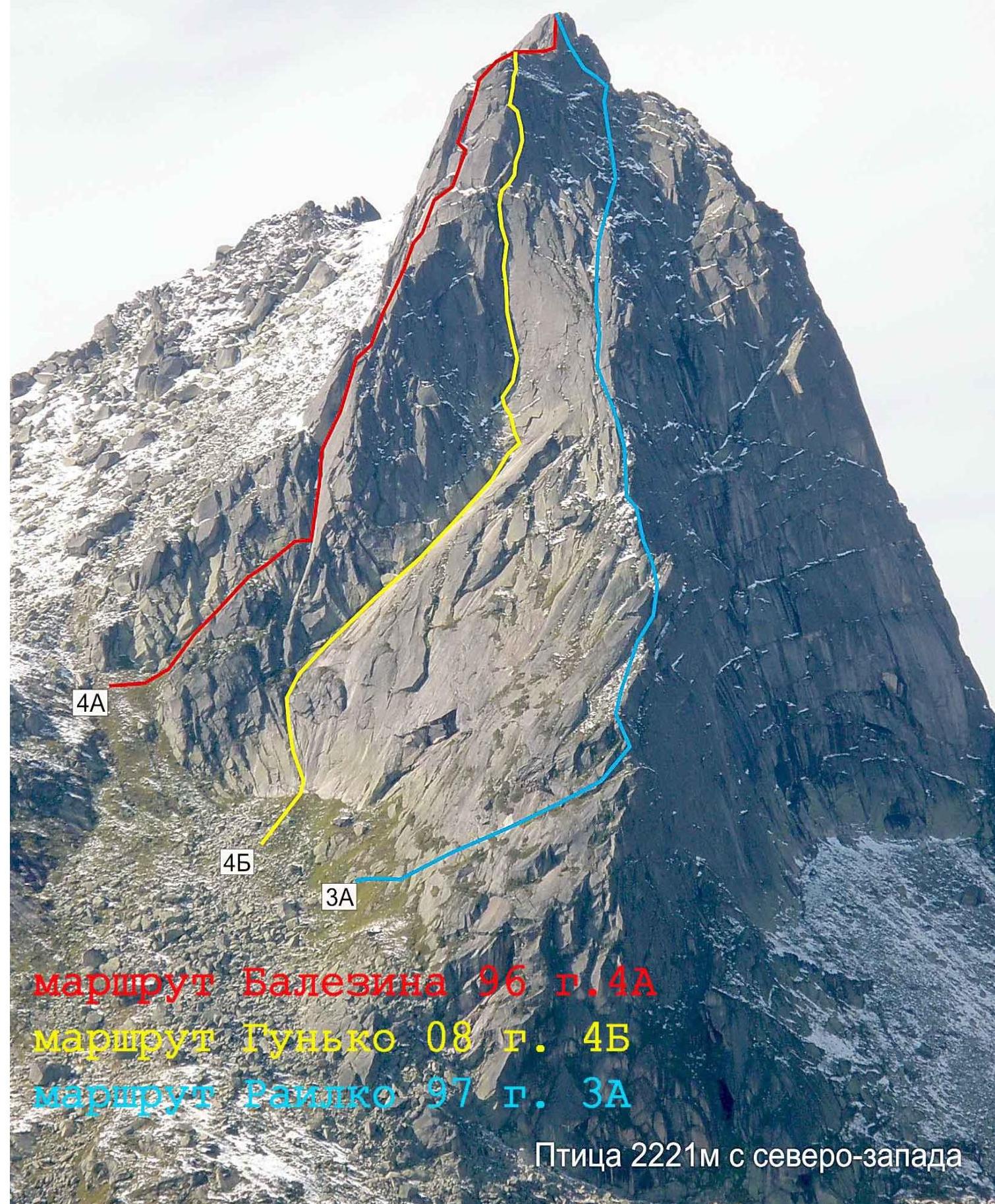
- Peak: Ptitsa 2221 m. Centre of the SE wall
- Claimed: 4B cat. sl. First ascent
- Route character: Rock
- Route characteristics:
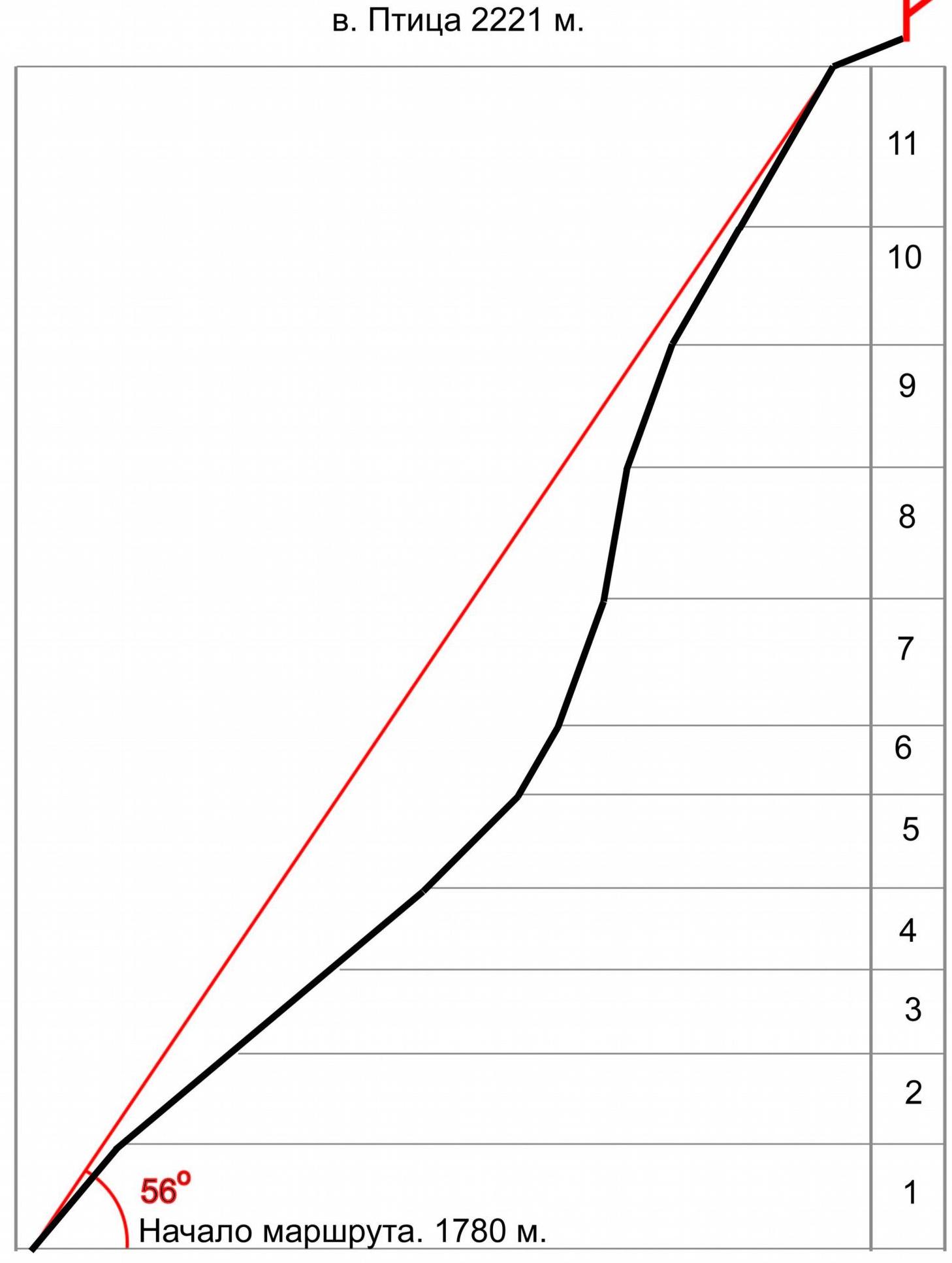
- Route elevation gain: 441 m
- Route length: 550 m
- Length of sections: II–III — 270 m, IV — 150 m, V — 130 m
- Average steepness of the entire route: 56°
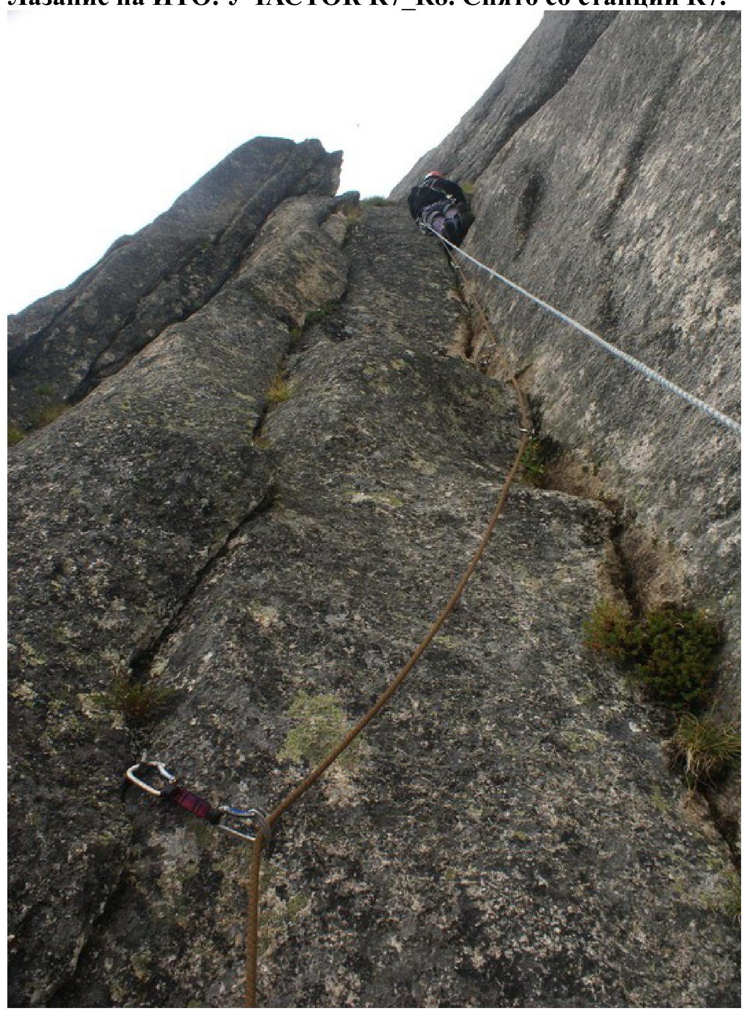
6. Used:
- Left on the route: rock hooks — 3 pcs.
- Used on the route: rock hooks — 4 pcs., anchor hooks — 8 pcs. Chocks — 53 pcs.
- Used for Aids: rock hooks — 1 pc., chocks — 4 pcs., rock fifi hooks — 12 pcs.
- Team's travel hours: — 6 hrs. Days — 1.
- Leader: Gunko Vladimir Sergeevich, MS. Participants: Trofimov Igor Olegovich, CMS; Romanenko Dmitry Alexandrovich, 2nd sports category; Khozyainov Andrey Nikolaevich, 2nd sports category.
- Team coach: Gunko Vladimir Sergeevich, MS.
- Departure date and time:
- Departure date and time on the route: August 10, 2008 8:00
- Date and time of reaching the summit: August 10, 2008 14:00
- Return to the Base Camp: August 10, 2008 at 17:30
- Ascent organized by: Alpinism Club of Krasnoyarsk State Agrarian University, led by Shlyopkin Anatoly Konstantinovich.
General photo of the SE wall:
 Profile. View of the route from the right. Shot from v. Zvezdny eastern.
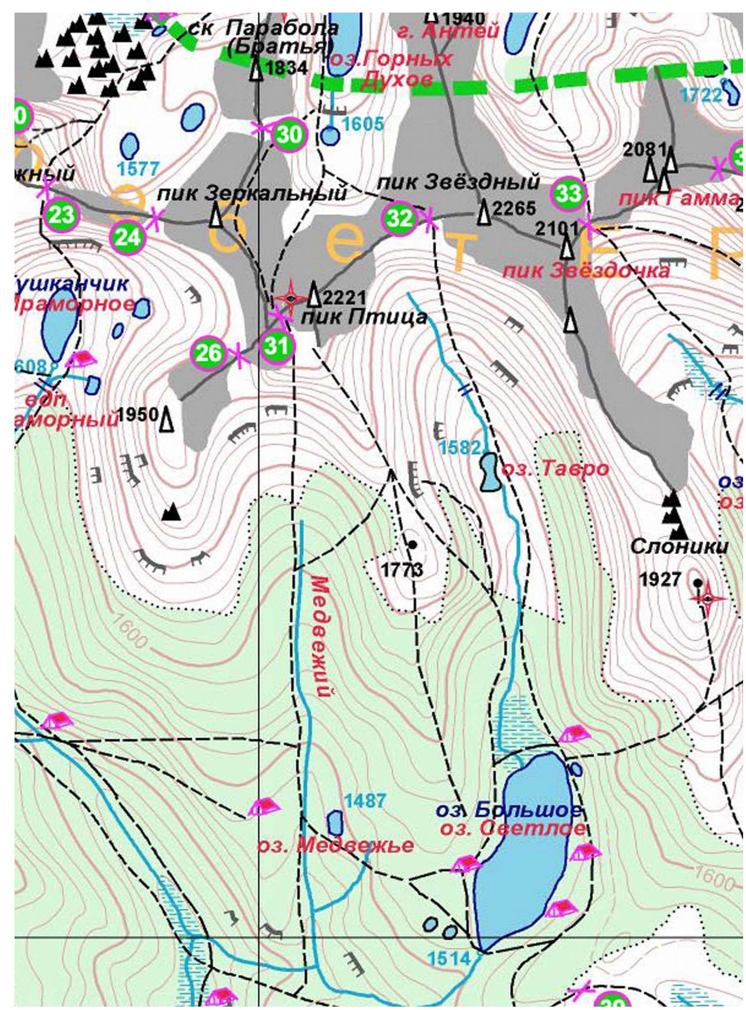
 Map of the area:
Elephants v. Ptitsa 2221 m.
 UIAA scheme:
| № | Chocks | Anchor hooks | Rock hooks | Fifi hooks, skyhooks |
|---|---|---|---|---|
| 5 | 9 | 3 | 1 | 15 |
| 4 | 10 | 4 | 0 | 0 |
| 3 | 6 | 1 | 0 | 0 |
| 2 | 3 | 0 | 0 | 0 |
| 1 | 10 | 1 | 0 | 0 |
| 0 | 6 | 1 | 0 | 0 |
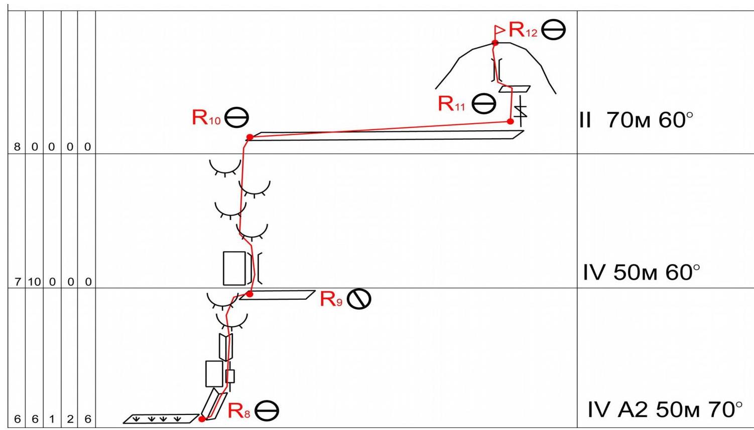
Route description by sections:
R0–R1. The route starts from a clearing. The first section is tense climbing through a series of flake formations and cracks leading to a cornice, which is bypassed on the left. After bypassing the cornice, one needs to move along an inside corner to a grassy ledge, where a good belay stance can be organized.
R1–R4. Moving right along the grassy ledge, you reach a wide rock slab with good friction, climb it for about 150 m, setting up belay points.
R4–R5. Continue along the inclined slab for another 10 m or so, then transition to a steep grassy ledge, and climb it to a wet inside corner.
R5–R6. Tense climbing up the corner, which leads to a cornice. You need to move right onto a rock wall, overcome it, and then exit into an inside corner and further onto a small sloping ledge. Organize a belay stance.
R6–R7. From this point, grassy sloping ledges lead left; moving along them is pointless as they lead to monolithic walls. From the belay stance, climb a steep, monolithic rock wall to the right and upwards for about 5 m, and exit into an inside corner. After passing through it, you reach a small sloping ledge. Organize a belay stance.
R7–R8. This section is considered the most challenging by the first ascendants:
- Climb the inside corner using Aids.
- The corner ends with a small cornice, which can be passed with free climbing.
- Then move up a grassy inside corner and exit onto a good ledge via a crack.
R8–R9. From the ledge, climb right along an inside corner to an overhanging wall. The wall is climbed via a slit using Aids. Then follow an inside corner that leads to "sheep's foreheads." Their passage is quite complex — requires the ability to climb on "bobbles." On a small rock ledge, it is possible to organize a belay stance.
R9–R10. Move right and climb up a "chimney," after which you again encounter "sheep's foreheads." Overcoming them, you exit onto a pre-summit shoulder.
R10–R11. Simultaneous movement to the right along the shoulder to the summit tower.
R11–R12. This section coincides with all routes (including the classic descent) to the summit of Ptitsa:
- From the belay stance, overcome a couple of meters along a crack to a rock ledge.
- Move right into a chimney, and after passing through it, you reach the summit.
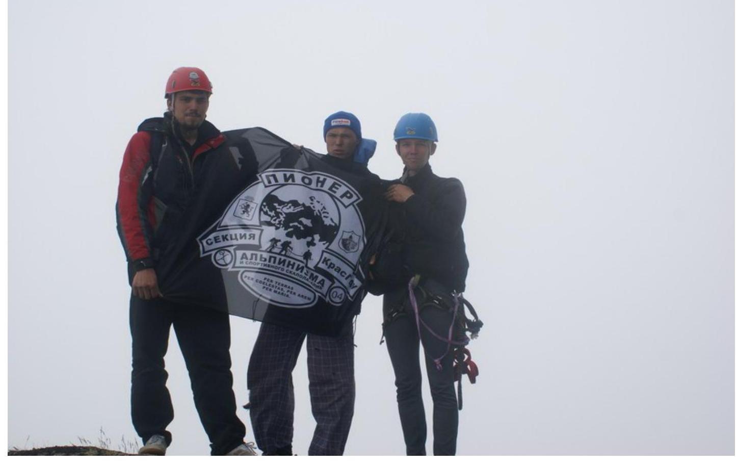
Summit Ptitsa 2221 m. August 10, 2008.
Approach: From the base camp on Svetloe lake, follow a wide, trodden path moving "north," orienting towards the Ptitsa peak. Ascend the hill and follow the path to the rocks, through which the classic route passes to Ptitsa pass. Then, deviate from the path to the right and begin traversing the slope with a slight loss of height, and along grassy ledges, approach the SE wall of the peak.
Logic and beauty of the route. The route represents a new, beautiful, and logical "line" on the southeast wall of Ptitsa peak. The terrain throughout the route varies and includes climbing on:
- monolithic inside corners,
- various flake formations,
- clean, dry slits,
- cracks, allowing athletes to utilize their skills and abilities. The route also includes sections that can only be passed using Aids technique, thereby testing one's "strength" before tackling routes of higher complexity. The use of equipment on this route depends on the participants' choices. The following options are possible:
- rock hooks,
- anchor hooks,
- in their absence — "stoppers," "friends," "eccentrics," etc. The logic of this route is evident in the fact that it was climbed in bad weather, with visibility limited to no more than 40–50 m, i.e., climbing this route is straightforward, and deviation to the side is unlikely.
Note from the summit:
 Start of the route. Section R0–R1. Shot from the clearing.
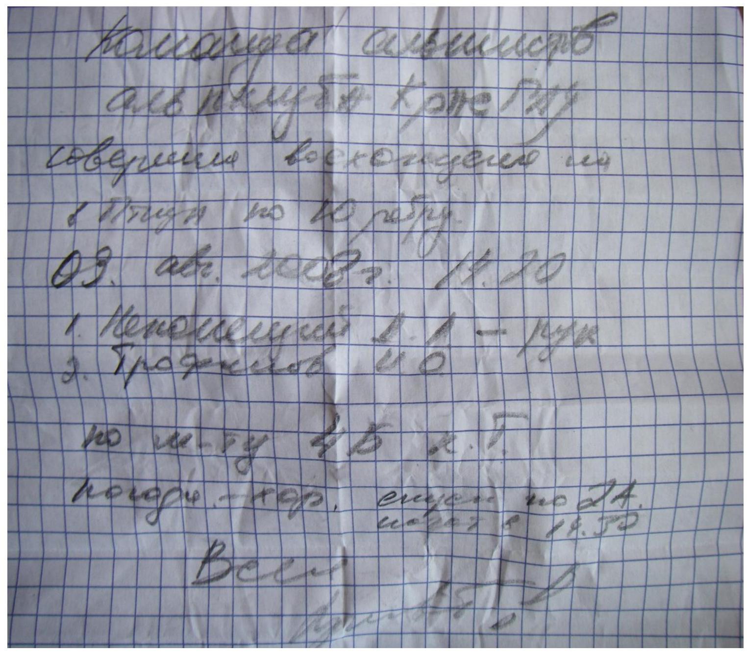
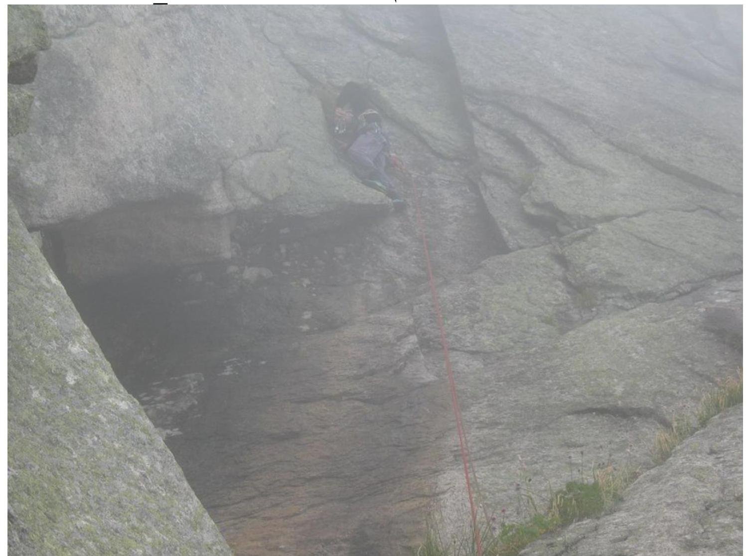
 Section R2–R3. Shot from the rope R1–R2.
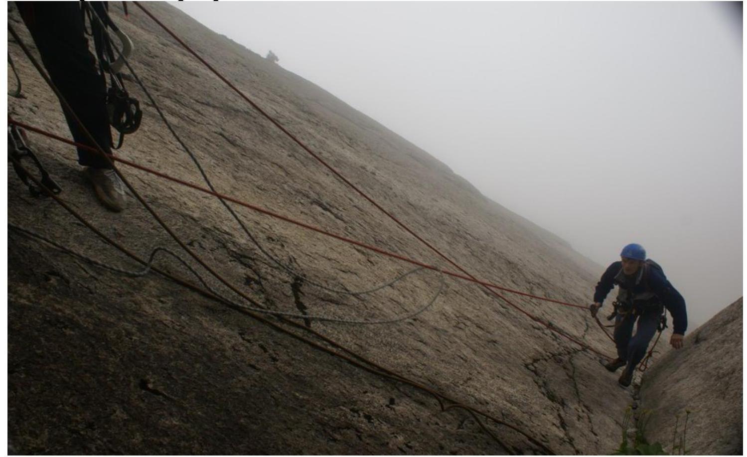
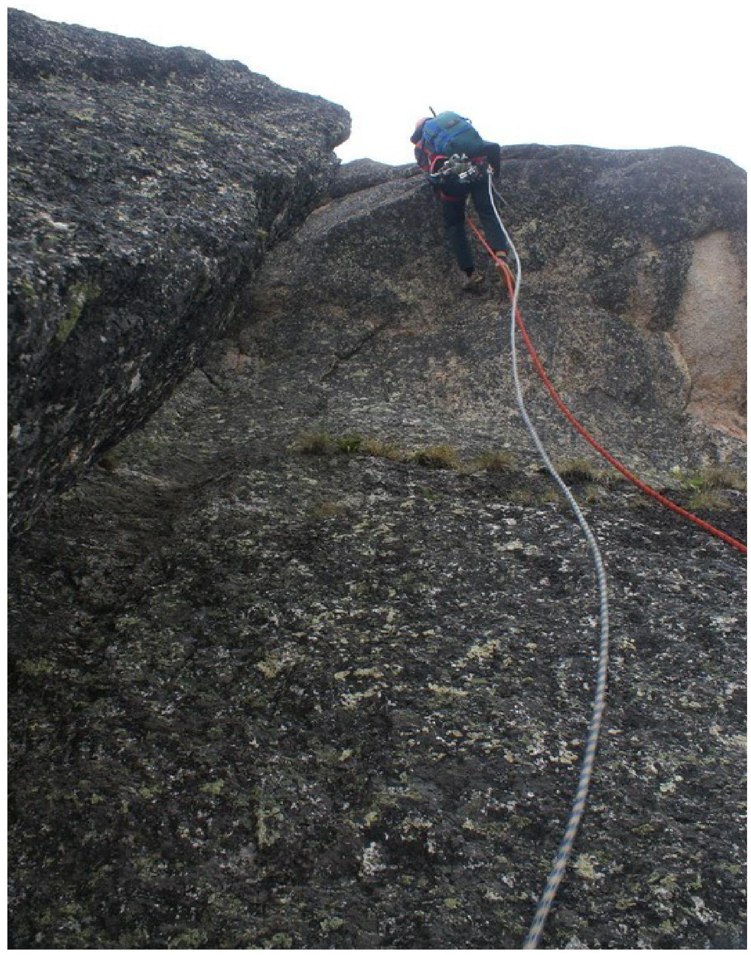
 On the rope Trofimov I. Shot from the R4 belay stance.
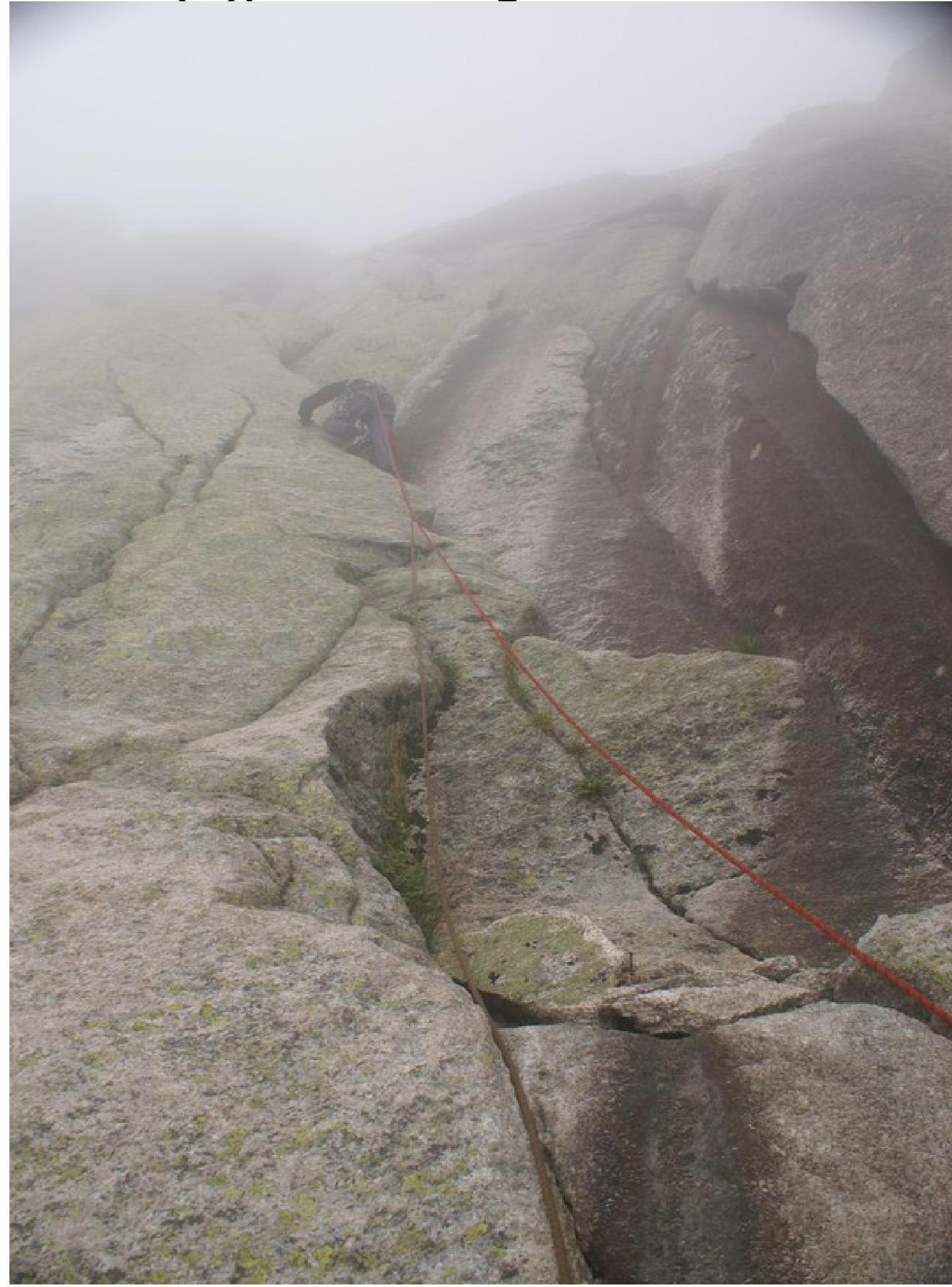
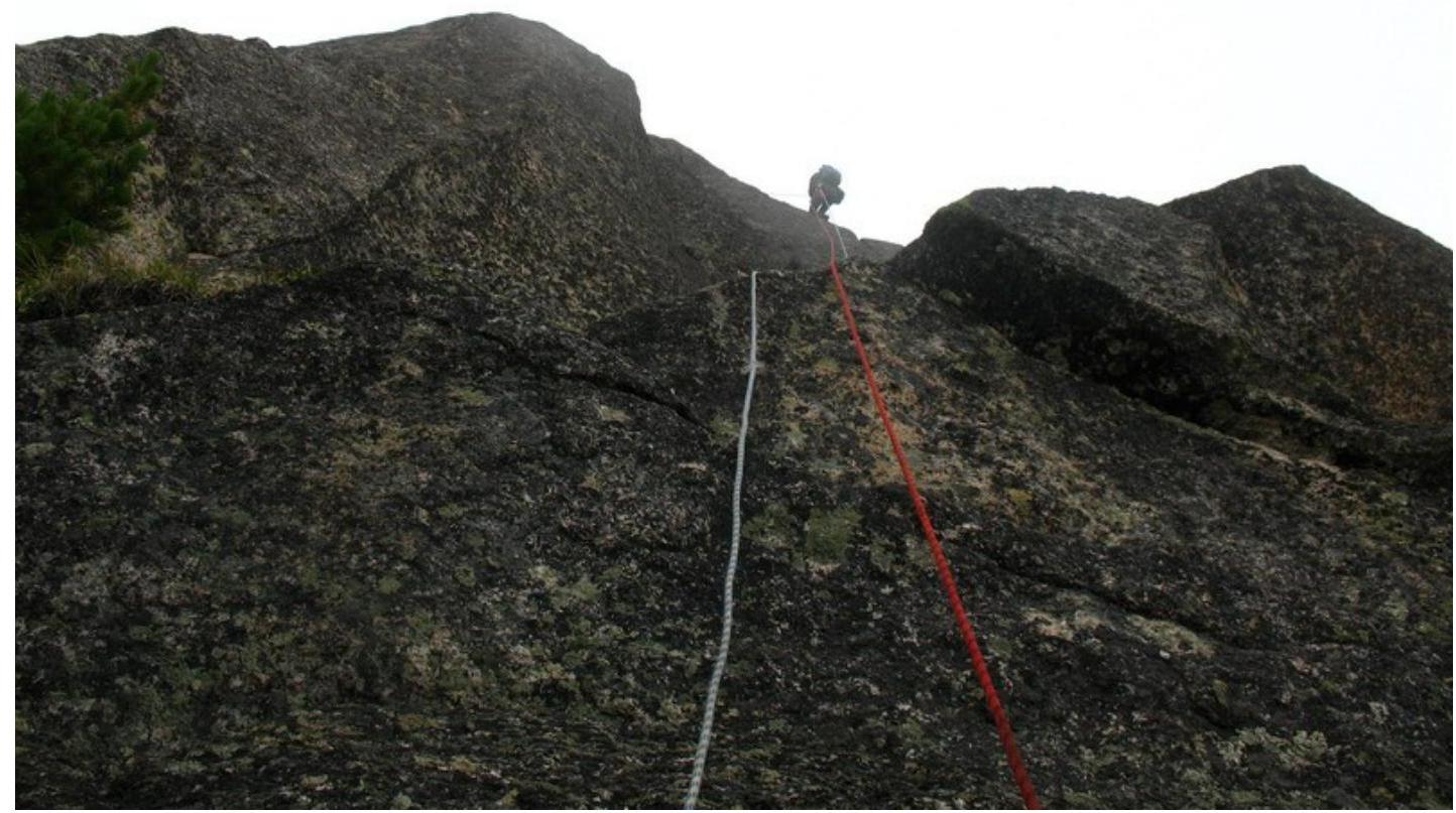
Section R5–R6. Shot from the R5 belay stance.
 Climbing on Aids. Section R7–R8. Shot from the R7 belay stance.
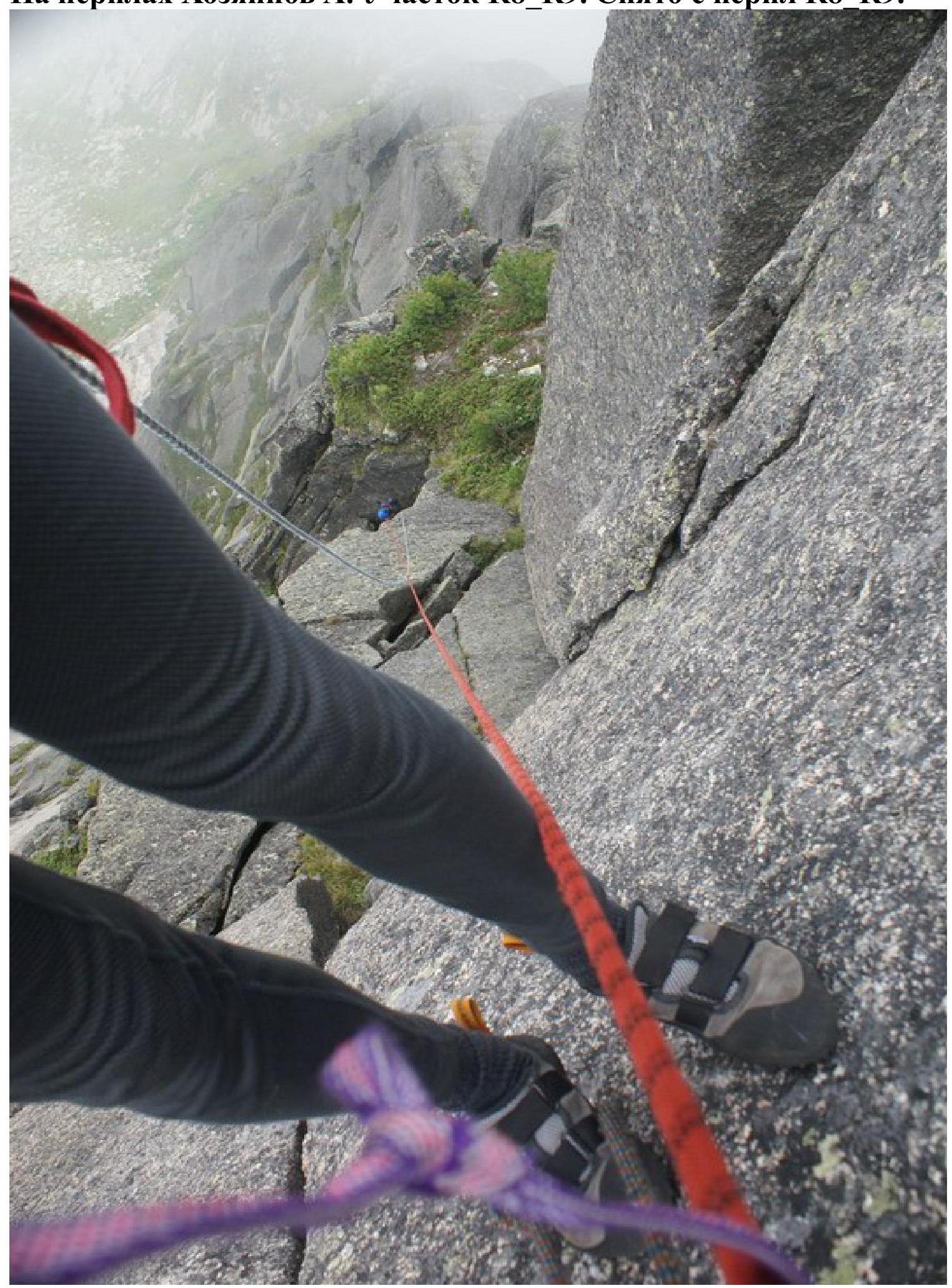
 On the rope Khozyainov A. Section R8–R9. Shot from the R8–R9 rope.
 On the rope Romanenko D. Section R8–R9. Shot from R8.
Start of section R9–R10 on the rope Romanenko. Shot from R9.
On the summit: Romanenko D., Gunko V., Khozyainov A. Photographed by Trofimov I.