
Ascent Certificate for Zarechnaya peak via the South-West ridge
cat. 2A diff. 1. East Sayan, Tunkinsky ridge, Chyorny Irkut valley, section 2. 2. Zarechnaya peak, 2400 m, via the West ridge. 3. Category 2A, first ascent. 4. Route type — rocky. 5. Height difference 200 m, length 400 m, average slope 30°. 6. Pitons hammered: rocky and ... 7. Team's walking hours — 5 hours. 8. No overnight stays on the route.
Route description to Zarechnaya peak via the South-West ridge, cat. 2A diff.
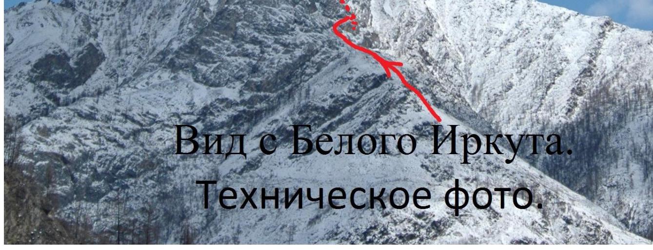
Zarechnaya peak is located in the westernmost part of the Tunkinskie Goltsy ridge, rises above the Bely Irkut and Chyorny Irkut rivers, on the 1st (orographic) bank of Chyorny Irkut, on the opposite side of the road.
Approach from the cafe along the aufeis to the confluence, along the slope — taiga and grassy, to the rocks; height difference — 5 m
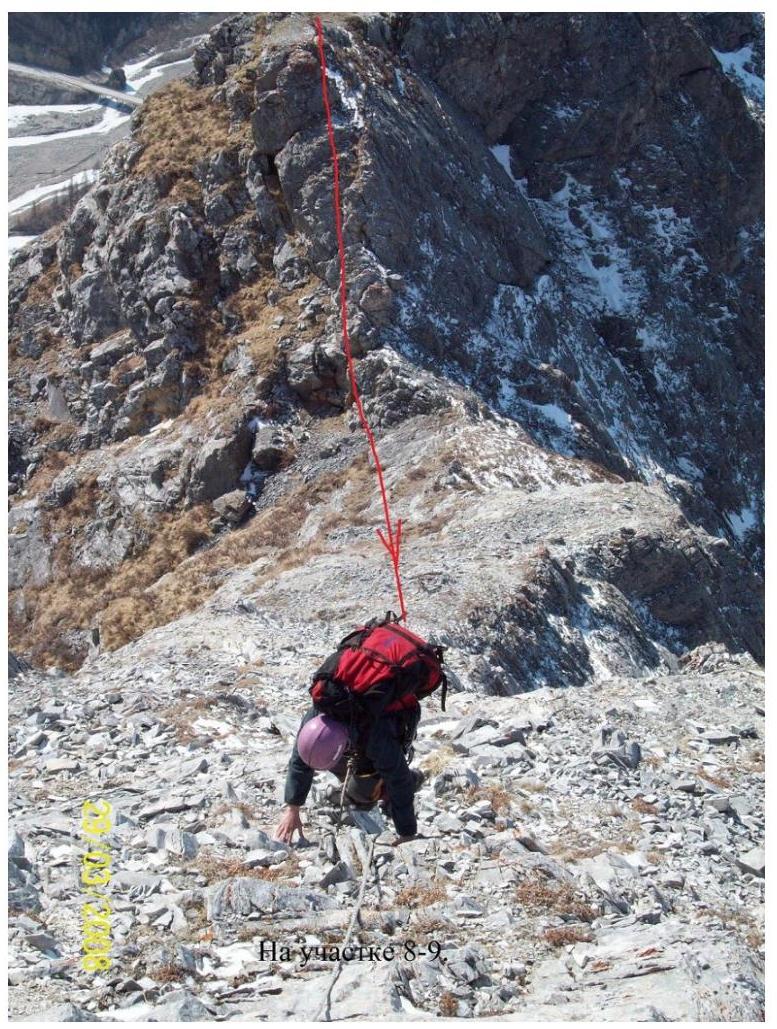
0–1 60 m, 35°, 1+ Left to right along a three-tiered ledge. 1–2 12 m. Sporty descent. 2–3 150 m, 35°, 1 — along ledges, initially left, then up. 3–4 60 m, 35°, 1 — along the ridge. 4–5 50 m, 45°, 2+ Deteriorated limestone outcrops with limited contact along cracks. Crossing left upwards above the abyss, psychologically unpleasant, 3 pitons. Crucial section. Use anchor pitons. 5–6 20 m, 30°, 1+ Left of the ridge. 6–7 30 m, 2 — Traverse right along rocks through the ridge. Descent to a ledge.

General view of Zarechnaya peak from the Bely Irkut valley.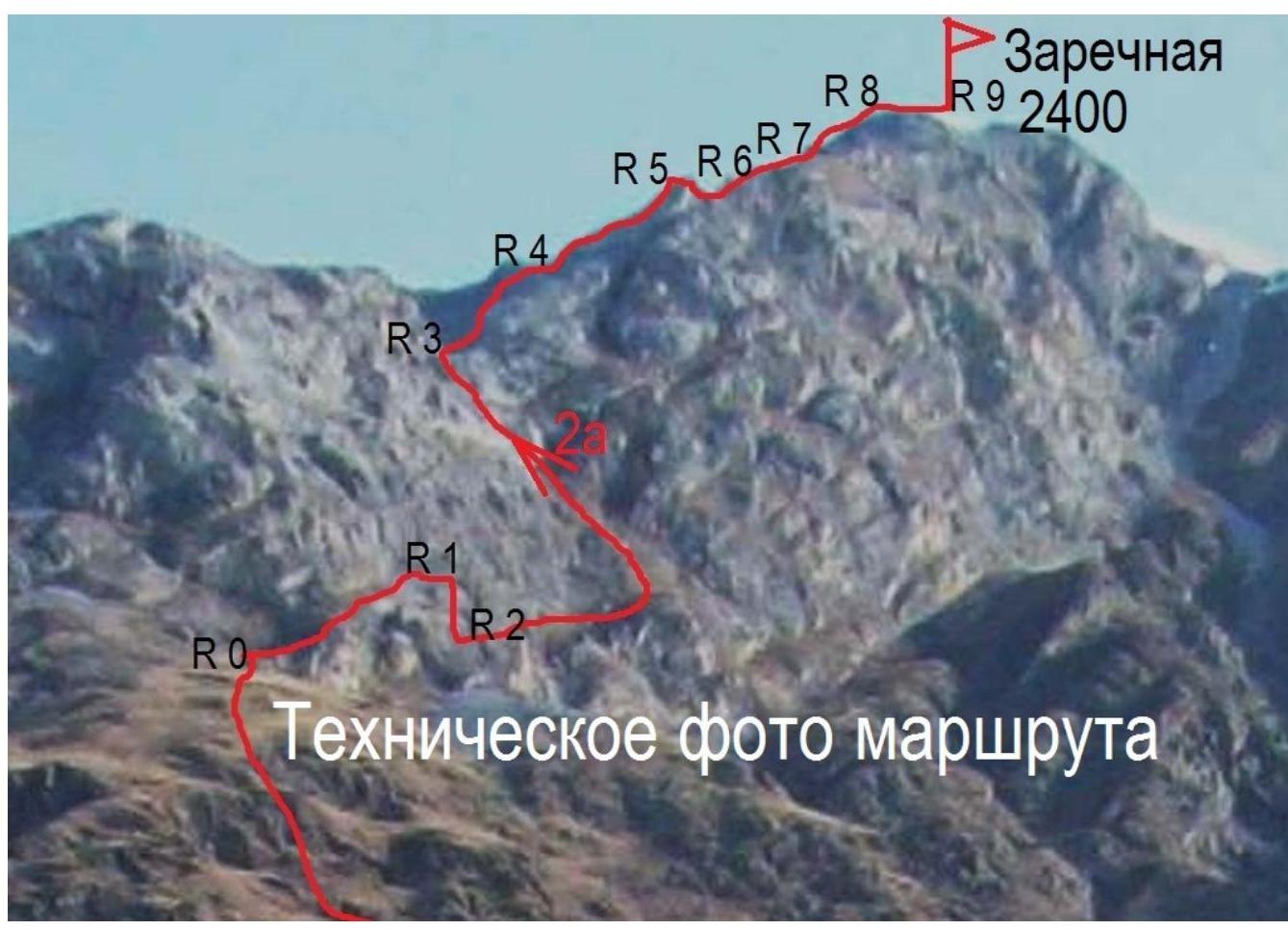
Zarechnaya 2400
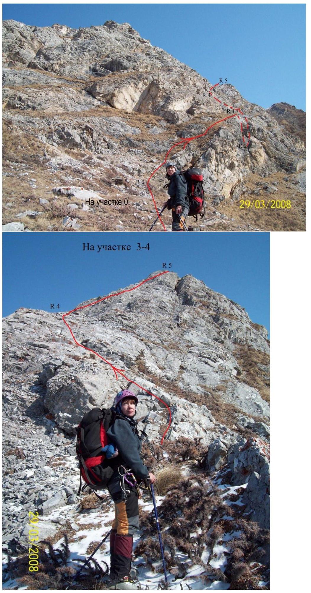
On section 3–4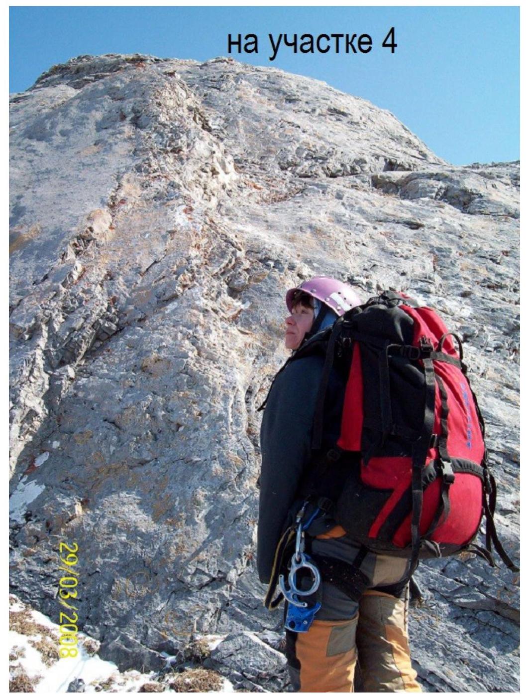 □
□
Munk-Sardyk
Comments
Sign in to leave a comment