Title Page
5A 8-6.1.99
Peak BRONONOSETS, 2430 m, via Center of West Face, Tunkinskie Goltsy ridge, Eastern Sayan Mountains. 6.1.
Irkutsk, 2006
Climbing Report
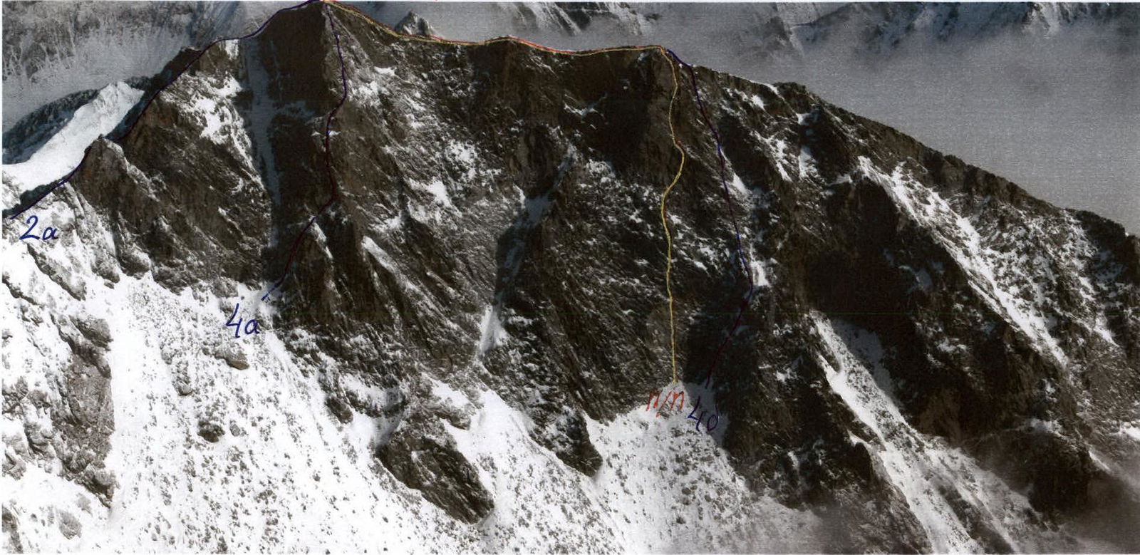
- Eastern Sayan, Tunkinskie Goltsy ridge, Dождевое valley, section 6.1.
- Peak Bronenosets, 2430 m, via Center of West Face.
- Proposed 5A category, first ascent.
- Route type — rock climbing.
- Elevation gain — 230 m, length — 412 m, average steepness of the wall section — 75°.
- Pitons: rock and chock — 60 pieces.
- Team's travel time — 32 hours.
Days of preparation — 5.
- No overnight stays on the route.
- Team:
Afanasiev A.E. MS, Afanasieva A.A. II, Glazunov E.V. II, Davydenko M.A. II, Kikina E.I. II, Sazonov R.A. II
- Coach Afanasiev A.E. MS
- Preparation 5–6 November 2005 and 4–6 January 2006.
Ascent to the summit and descent — 7 January 2006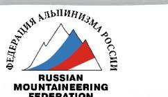
Peak Bronenosets, 2430 m
General view photo. View from peak Аршан.
Route Description for Ascent to Peak Bronenosets (2430 m) via Center of West Face, cat. 5A.
The route starts from a scree slope with western aspect in the upper reaches of Dождевое valley opposite peak Аршан, following a fresh break of a light shade («geology») on the West Face of the South summit.
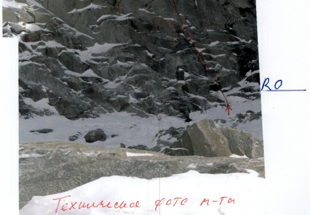
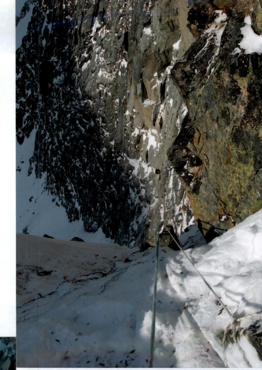
Sec. 0–1 5 m. 50° III+. Inner corner. Sec. 1–2 20 m. 85° VI–А3. Slabs, vertical cracks, large loose rocks. Sec. 2–3 7 m. 90° V+A1e. Traverse right along vertical slabs. Sec. 3–4 20 m. 65° IV+. Left up to the right under a rusty cornice. Control cairn on a piton. Sec. 4–5 8 m. 85° V–А1. One-sided inner corner with a right vertical wall, slightly left. Sec. 5–6 35 m. 70°. Smooth slabs. Sec. 6–7 40 m. 50° III-. Snowy gully with two 3-meter ascents. Approach to the main wall of the summit section. Sec. 7–8 20 m. 80° V–А2. Up and right along vertical cracks using chocks. Sec. 8–9 7 m. 85° V–А2. Wall. Sec. 9–10 7 m. 85° V+A2. One-sided inner corner. Right wall is vertical. Sec. 10–11 7 m. 45° II+. Snowy ledge. Sec. 11–12 5 m. 60° III+. Rocks left up. Chocks. Sec. 12–13 4 m. 80° IV+A1. Unstable rocks. Sec. 13–14 4 m. 80° V–А2e. Slab. On a piton — second control cairn. Sec. 14–15 20 m. 90° VI–А3e. Inner corner with loose rocks. Approach to an overhanging crack. Crux of the route. Sec. 15–16 5 m. 90° V+. Traverse from a piton. Passed by looping a rope around the upper rock. Sec. 16–17 10 m. 85° IV+. Unstable inner corner. Sec. 17–18 3 m. 85° III+. Traverse right around the corner to the south side of the wall. Sec. 18–19 25 m. 90° V–А2. Wide inner corner. Sec. 19–20 10 m. 60° III-. Exit to the south summit. Sec. 20–21 150 m. 2° I-. Along talus to the main summit. Descent to the South via an unclassified route cat. 2A, or to the Southeast along a straightforward slope into Вторая Шихтолайка valley, located between Дождевое and Артемьевым valleys towards the Tunkinskaya valley.
Peak Bronenosets (n.o.)
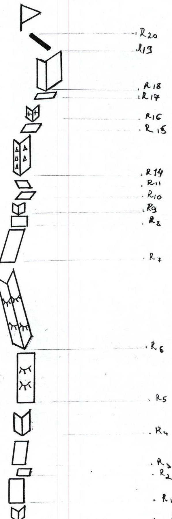
Technical photo of the route R20–R17–R13–R10–R7–R4–R3–R0
 Sec. 3–4
 Sec. 1–2
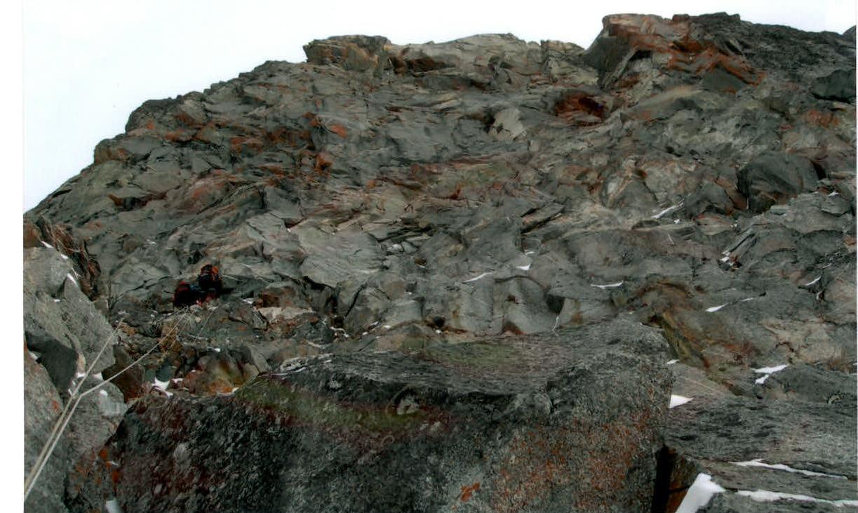
Sec. 5–10
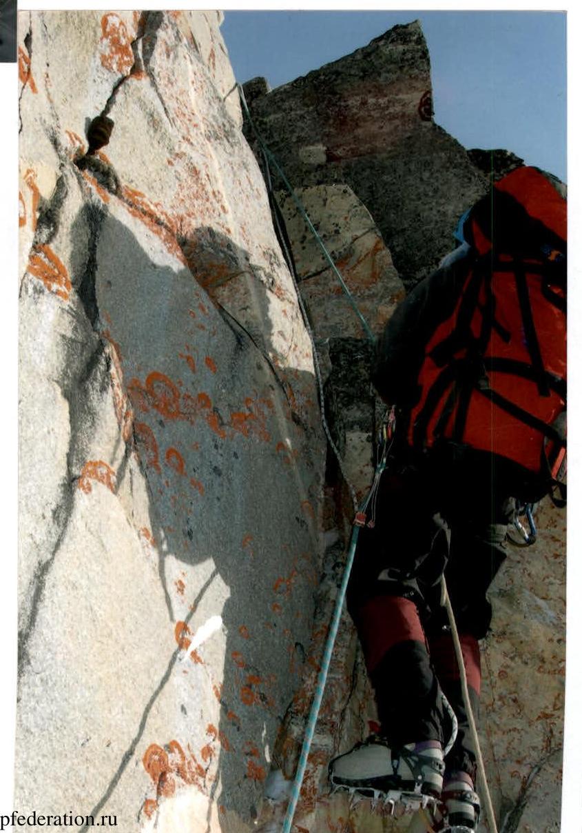
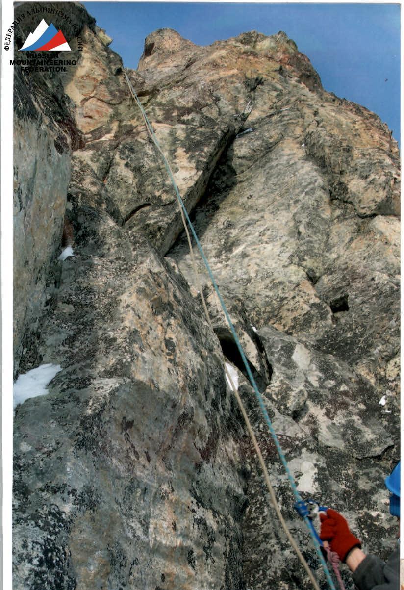
Sec. 14–15 (Crux)
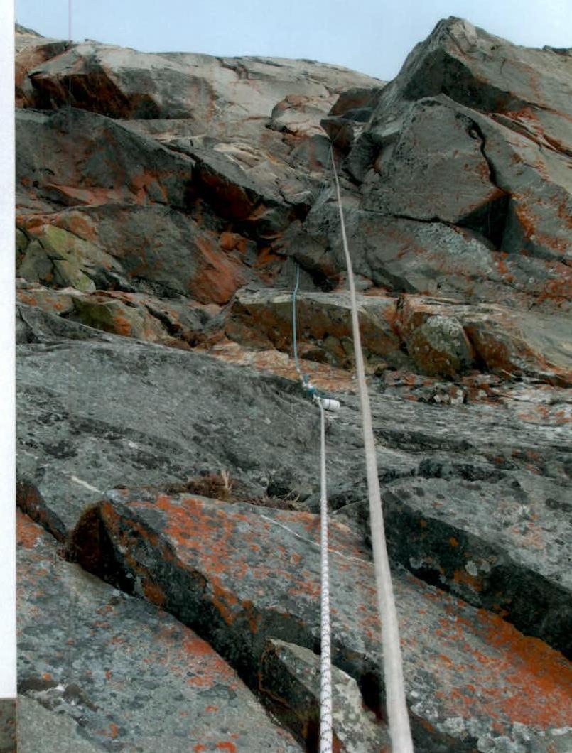
Sec. 4–5
Sec. 18–19
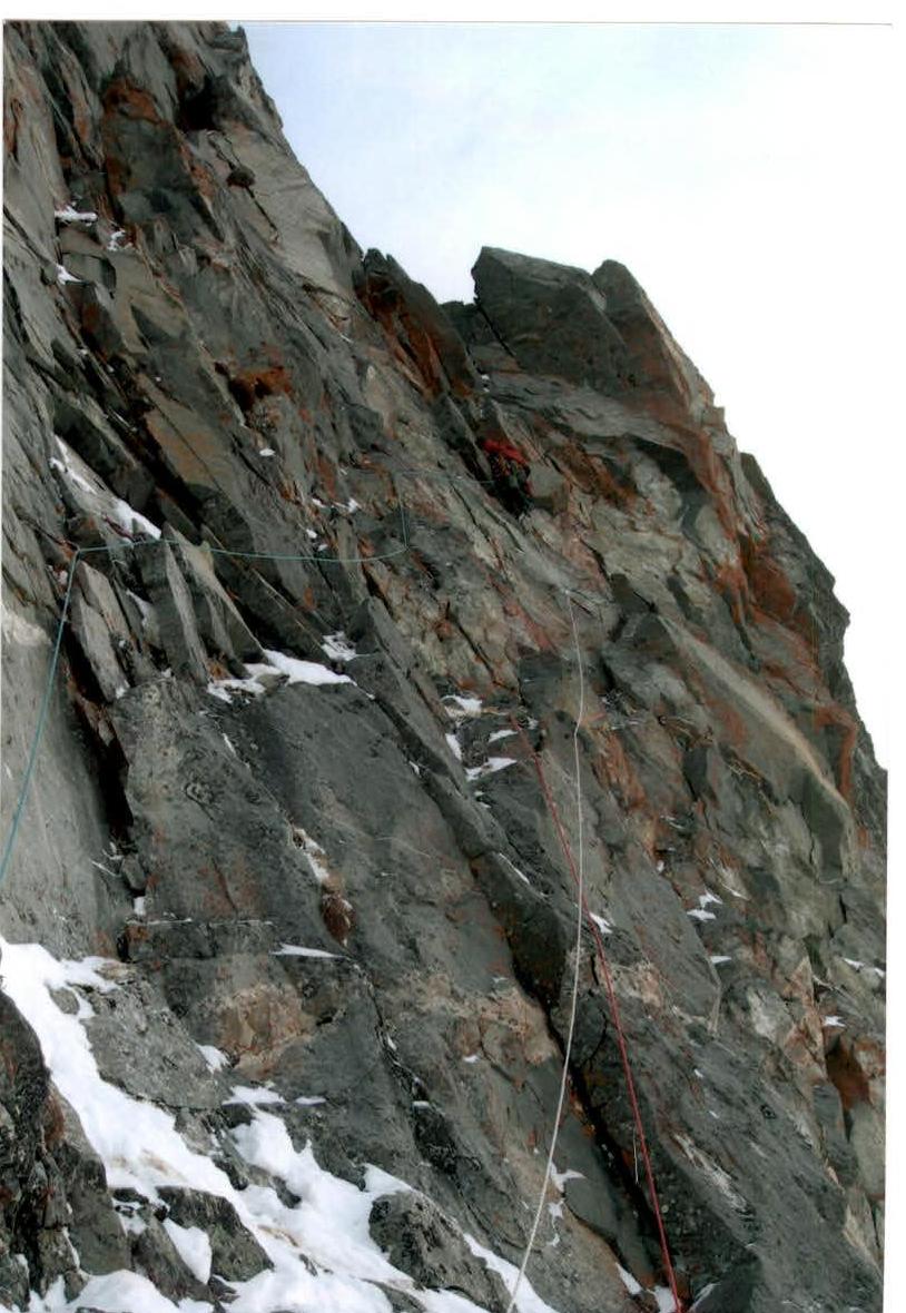
Sec. 16–17