DESCRIPTION of the route to v. Vilyuchinsky 2A cat. sl. from the north
Petropavlovsk-Kamchatsky, 1977
Climbing Passport
- Climbing class — technical
- Climbing area — Poperechny ridge
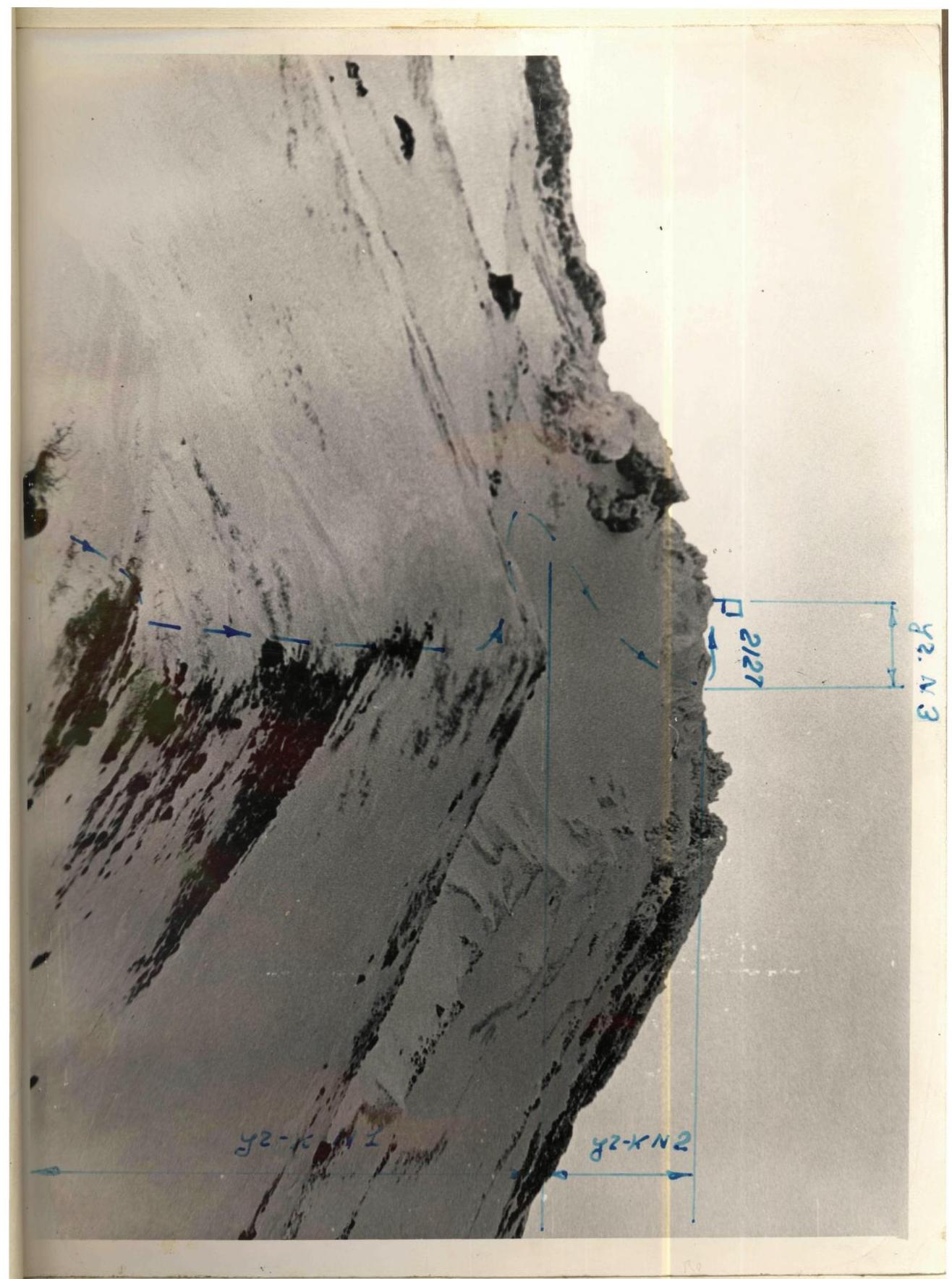
- Peak, its height, climbing route — northern slope of v.
Vilyuchinsky height 2173 m above sea level.
- Category of complexity — 2A
- Characteristics of the route:
height difference — 1400 m, route length — 2300 m. Length of sections:
- $1
- K/T
- 2 cat. sl.
- 3 cat. sl.
- Number of pitons for belay, for creating artificial support
rock — none, ice — 1, bolt — none
-
Number of walking hours — 6
-
Number of overnight stays — none
-
Group composition — 4 people
-
Team coach: Grinkevich S.I. — CMS, senior instructor.
| № p/p | Characteristics of the section | | | | Belay | | | Passage | | | | :---: | :--------------------------: | :--------------: | :---------------------------: | :---------: | :-----------: | :------: | :-------: | :------------: | :-------------------------------------------: | :-------: | | | Steepness | Length | Character of relief | Difficulty | Condition | Weather | Rock | Ice | Rock | Ice | | 1. | 20 | 1000 m | Rocks, hard firn, ridge | 1 | Snow-covered | -10 | - | - | In crampons | | | 2. | 35-45 | 1500 m | Hard firn, ice | II | местами лед | -10 | - | 1 | Self-belay through ice axe | | | 3. | 40 | 400 m | Firn, rocks | III | местами лед | -10 | - | - | Self-belay through ice axe in crampons. | |
Field expedition route

 2
× 2
2
× 2BRIEF EXPLANATION OF THE ROUTE AND APPROACHES TO IT:
-
From TPK 3 hours approach to Goryachaya sopka — bivouac.
-
from bivouac, approach on skis to the start of the route — under the northern slope of v. Vilyuchinsky.
-
Ascent to the summit 2173 m — 6 hours.
-
Descent from v. Vilyuchinsky via the ascent route — 2–3 hours.

