Moscow City Federation of Alpinism and Rock Climbing
Russian Championship 2018
High-Altitude Technical Class
Report
Teams from the MAI Alpine Club
Peak Gaikomd, 3192 m, left part of the SE wall, Dorro route, 2003, 6A category of difficulty.
Ascent Passport
-
Region 2.9 — Caucasus, from Kreстовый Pass to Shaviklde peak;
-
Gaikomd, 3192 m, left part of the SE wall;
-
Category of difficulty — 6A;
-
Route type — rock;
-
Route characteristics:
route length – 1180 m; wall part – 780 m; height difference – 792 m, wall part – 680 m; length of sections with 6B category of difficulty – 175 m; 5B – 415 m; average steepness of the wall part – 75°;
-
Number of protection points used:
Total (including artificial aids) 200 / 30 Anchors and pitons 40 / 5 Nuts and cams 155 / 25 Bolt hangers 5
-
Total time on the route – 21 hours, days – 2;
-
Team leader — Vladimir Belousov, Candidate Master of Sports
Participants: Denis Sushko, Master of Sports; Pavel Tsvetov, 1st sports category
-
Team coaches: Vladimir Belousov
-
Departure dates:
to the route — May 8, 2018, 8:00 AM; to the summit — May 9, 2018, 5:00 PM; return to Base Camp — May 9, 2018, 11:00 PM.
-
Organizing body: FAiSM
Person responsible for the report: Vladimir Belousov, e-mail: vabelouso@gmail.com
General photo of the summit
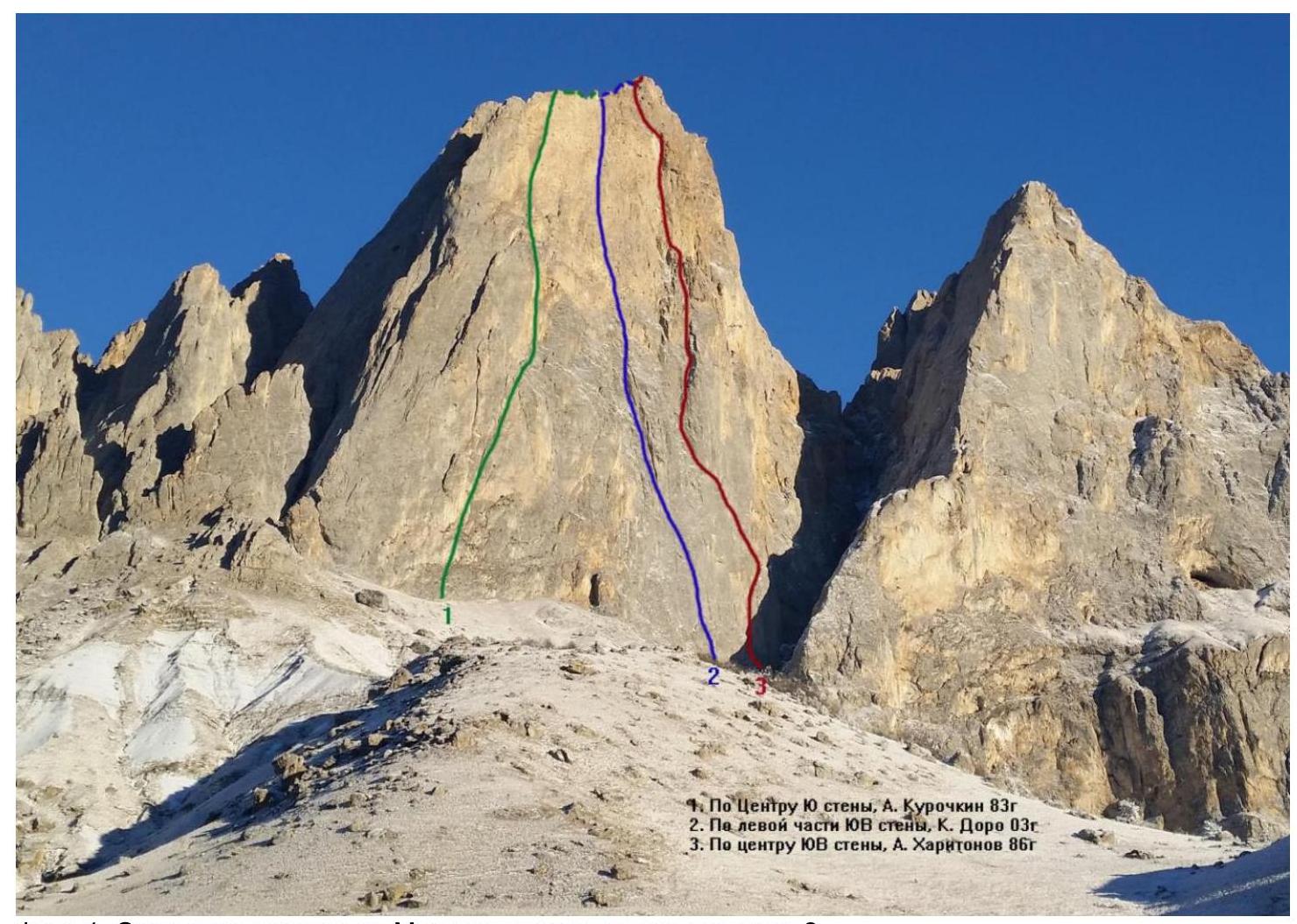
Photo 1. Main routes. The team's route is number 2.
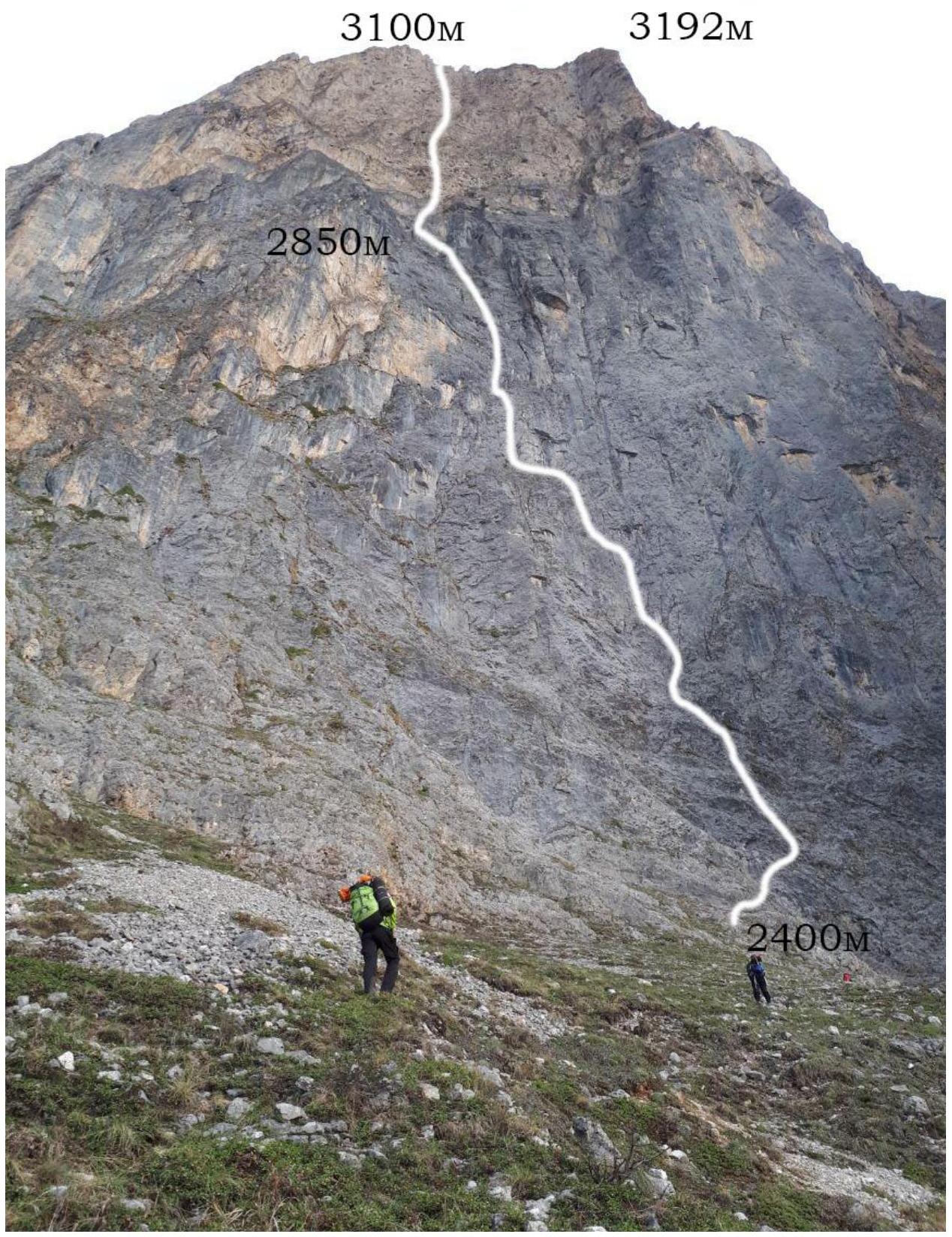
Photo 2. Wall with the route marked.
Area Photopanorama
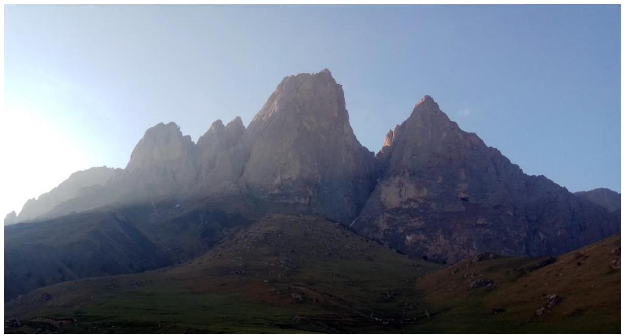
Photo 3. Summit panorama.
Ascent Timeline
| May 8, 2018 | May 9, 2018 |
|---|---|
| Departure at 8:00 AM | Departure from bivouac at 8:00 AM |
| Sunny in the morning, cloudy during the day, rain after 6:00 PM | Sunny in the morning, drying out, cloudy during the day, occasional snow. Clear in the evening. |
| Rain at night, stopped before dawn. | |
| R0–R11. Bivouac shelf (8:00 PM) | R11–R18 (summit – 5:00 PM) |
UIAA Scheme
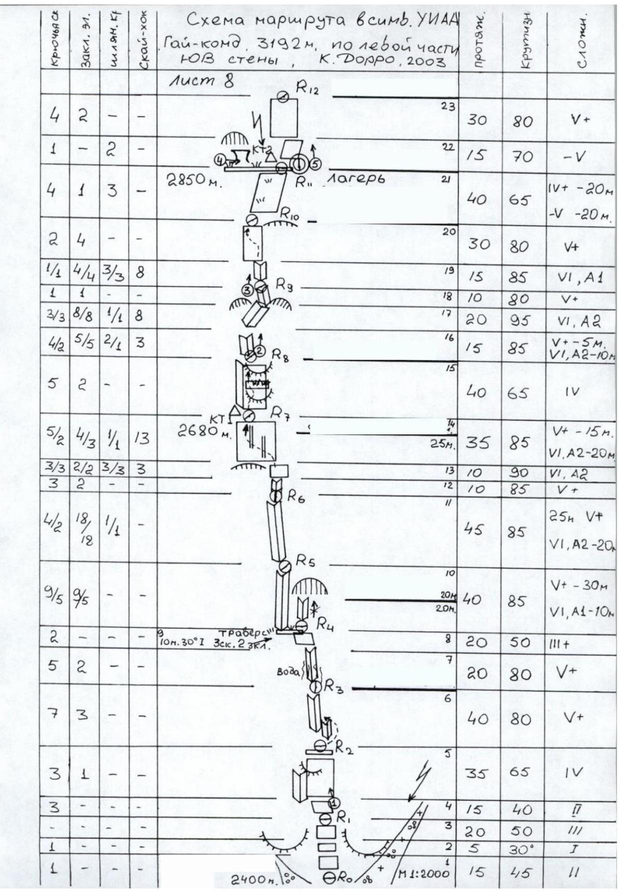
Fig. 1. UIAA scheme, part 1.
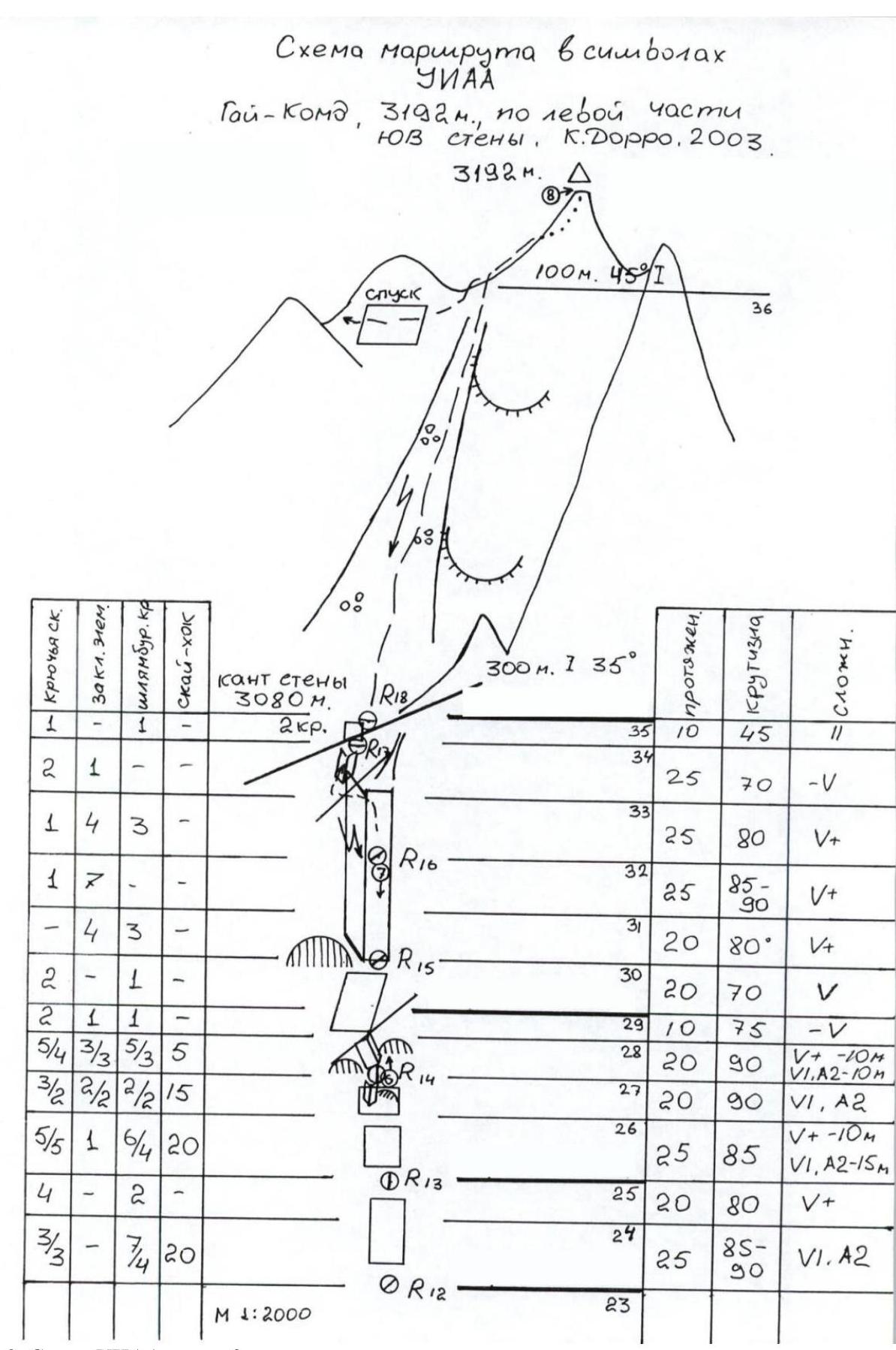
Fig. 2. UIAA scheme, part 2.
Wall profile illustration
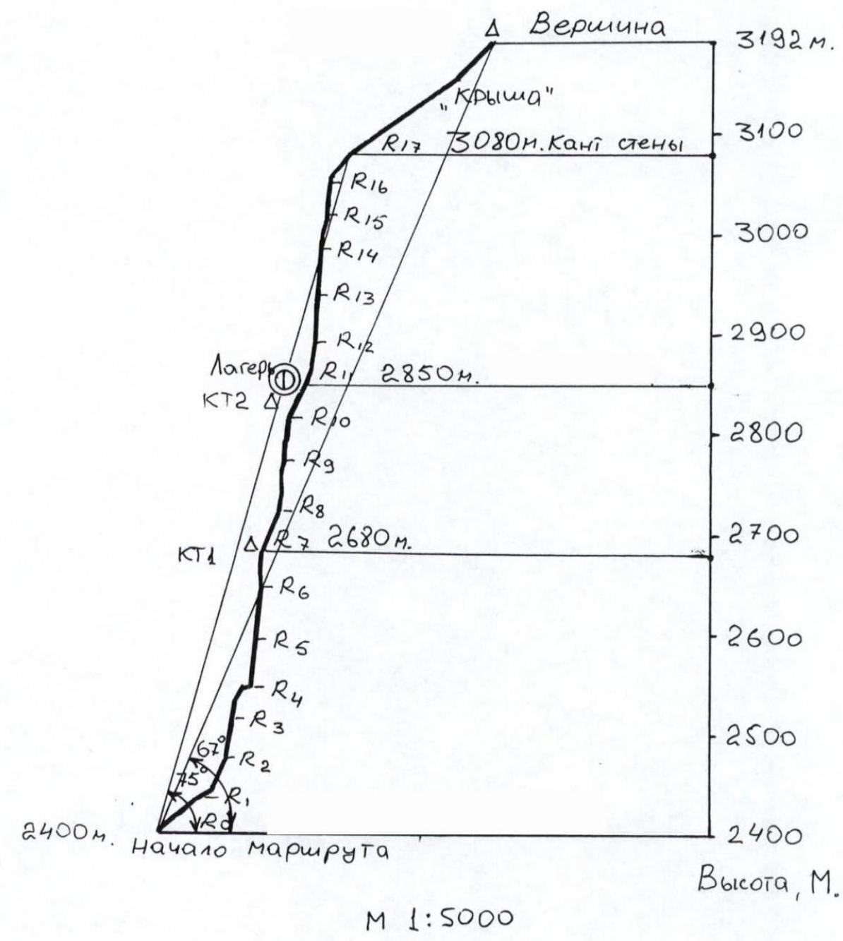
Fig. 3. Illustrated wall profile.
Route Description
The route starts from the "ram's foreheads" — the lowest point of the wall, to the left of the gully.
R0–R1: From the "foreheads" go up to a shelf. Belay station.
R1–R2: From the station, go left along an inside corner, then right up steep "foreheads" to a convenient shelf. Belay station.
R2–R3: The route continues with a system of steep inside corners. The corners have earth and rocks in places, and are wet. Hanging belay station.
R3–R4: The corners become more monolithic with fewer loose rocks. The corner then leads left to a grassy shelf. Belay station.
R4–R5: Do not go straight up the corner. Traverse left and down along the shelf to bypass an outside corner and enter an inside one. The terrain is monolithic. Belay station.
R5–R6: The difficulty increases. Hanging belay station.
R6–R7: Go up the corner, bypassing a cornice on the right, to a slab. Traverse left up the slab and enter an inside corner. Belay station.
R7–R8: Continue up the inside corner; some grass and tufts are present. The rope is not too difficult. Belay station.
R8–R9: The difficulty increases. Move up the corner under an overhang and then right up. The corner has loose blocks and slabs. Belay station on a more gentle section.
R9–R10: The steepness increases again. Climb the corner and reach a wall with corners and cracks. Traverse left up, bypassing overhangs, to a more gentle section. Belay station.
R10–R11: Continue up a gentle slab right up to a visible shelf and niche. The shelf serves as a bivouac (sitting). Belay station.
R11–R12: The upper part of the wall starts from this pitch. The rock is fragile and brittle. There's a lot of debris, but mostly small, providing sufficient protection. From the station, go right and then left. The second half of the pitch is more difficult. Belay station.
R12–R13: From the station, difficult climbing leads first slightly left, then slightly right. The second half of the pitch is easier. Hanging belay station.
R13–R14: From the station, climb left up to an indistinct outside corner. Bypass steep sections, then go right up under overhanging blocks. Belay station.
R14–R15: From the station, climb up a crack and corner, then left. Bypass an overhang and reach an outside corner; follow its left side to a visible large inside corner. The base of the corner has a belay station.
R15–R16: Continue up the corner. Be cautious of loose rock. Belay station.
R16–R17: Again, follow the inside corner, then cross its left wall to reach a gully that goes left towards the wall's edge. Belay station on the edge.
R17–R18: Then go right across a rock step. The rocks are easy. Belay station.
R18–Summit: Finally, climb up a slope-gully and easy rocks to the summit. Descent via category 1B, marked with flags.
Summit note
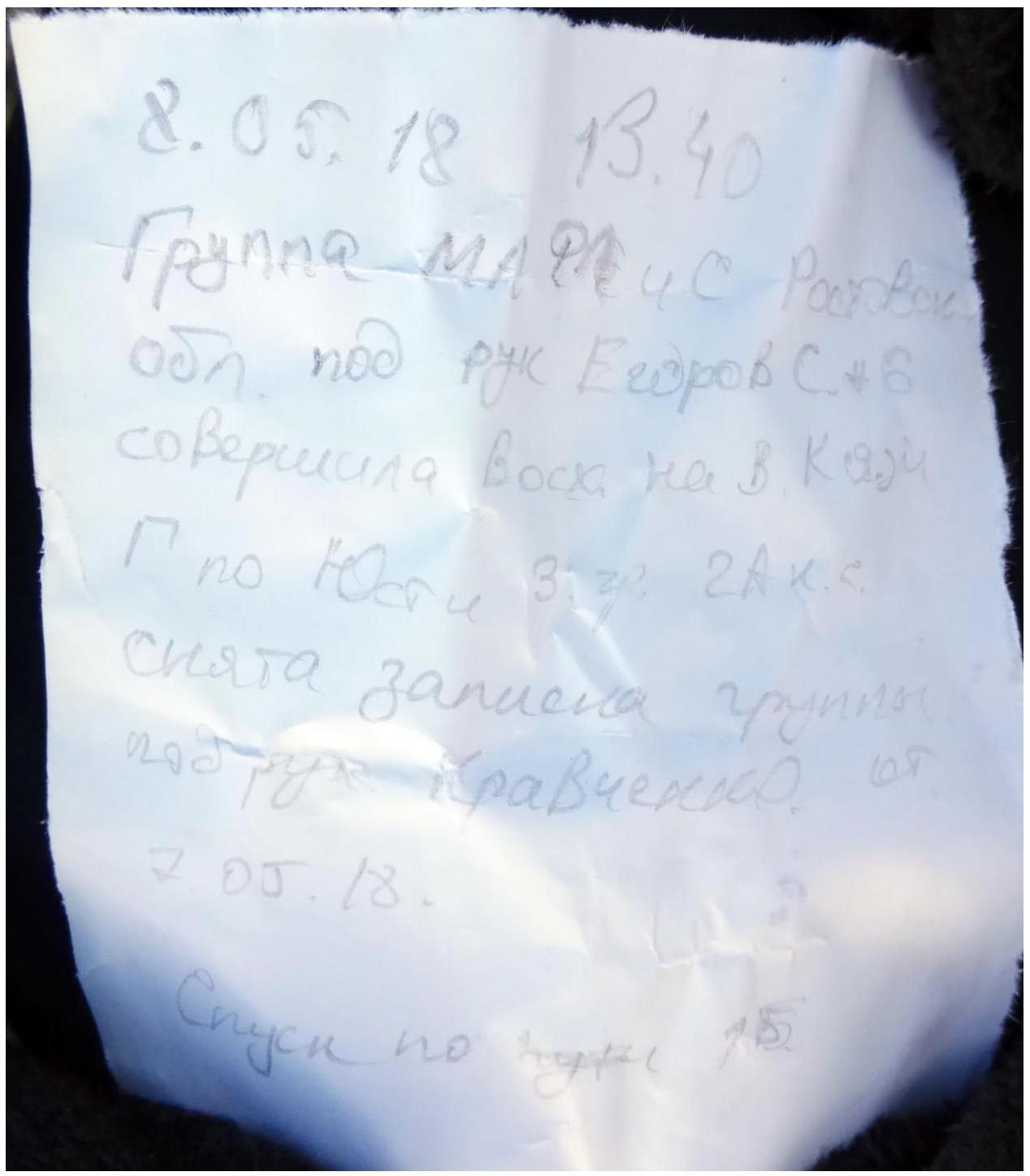
Photo 4. Summit note.
Report photo illustrations
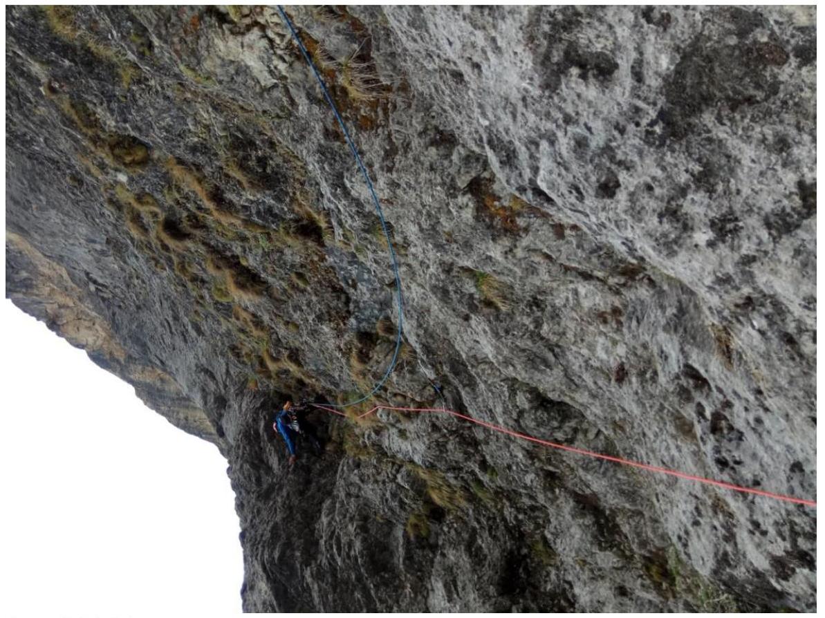
Photo 5. R1–R2.
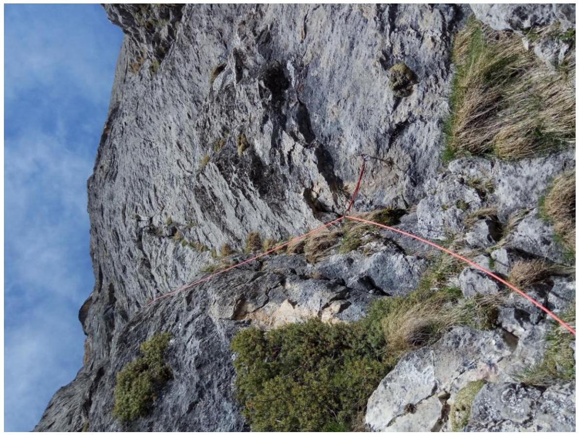
Photo 6. R3–R4.
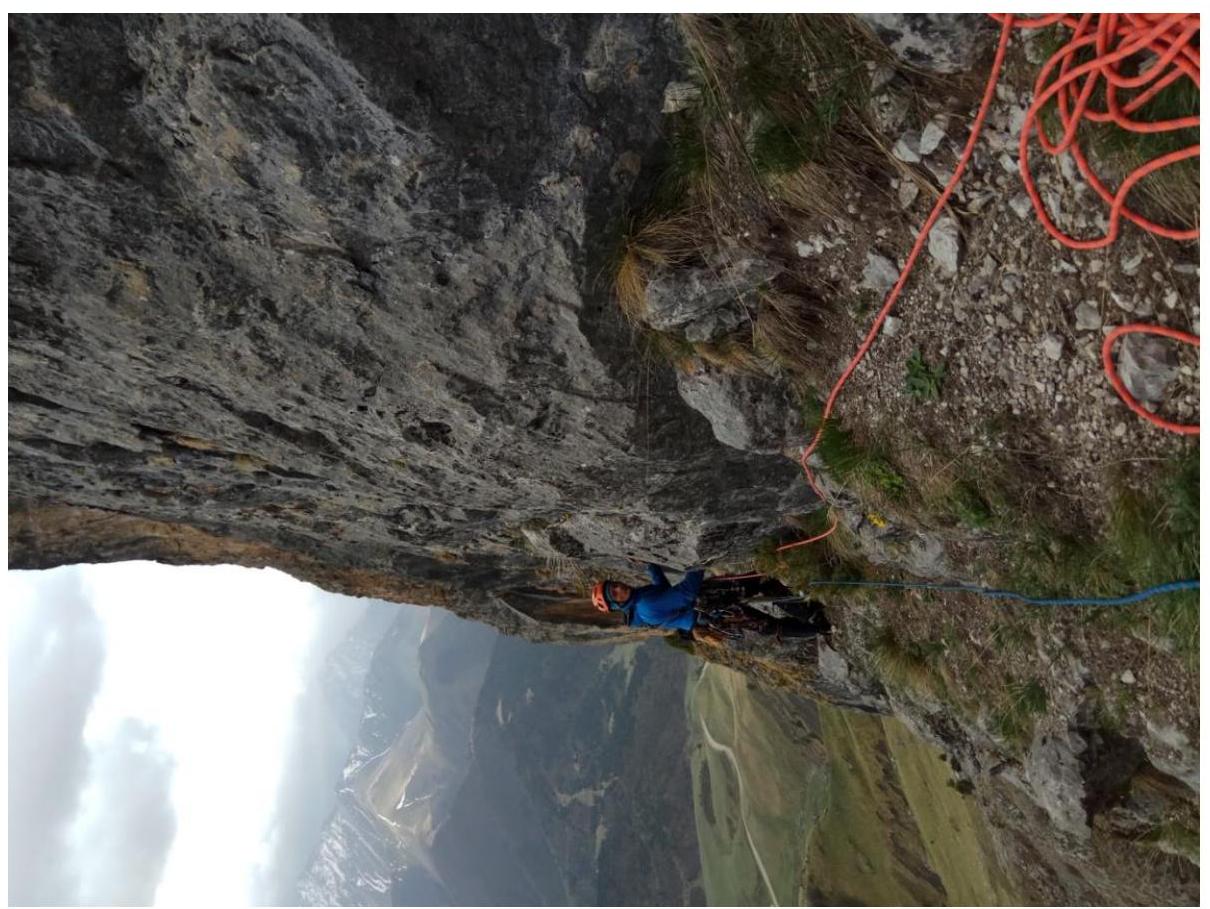
Photo 7. Exit from R4.
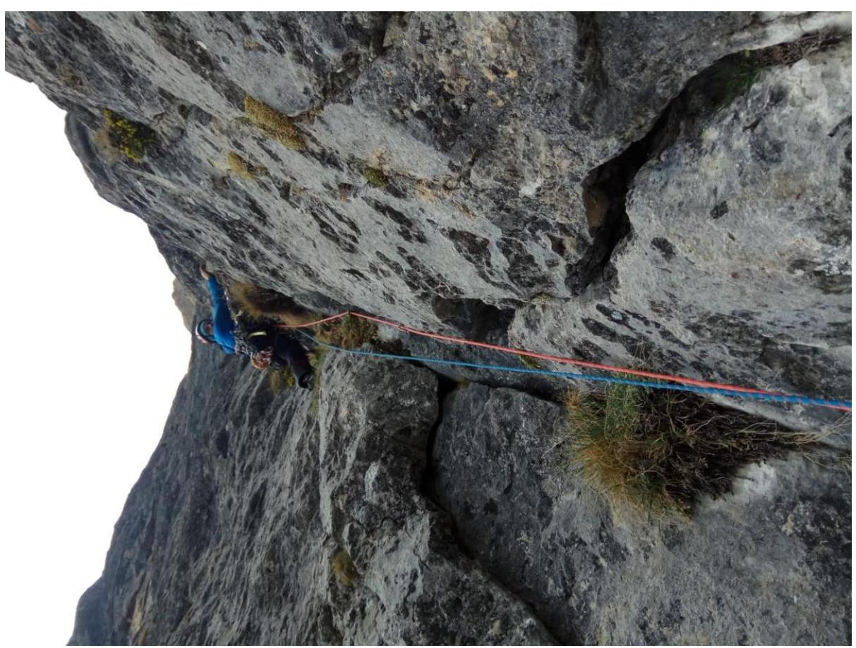
Photo 8. R5–R6.
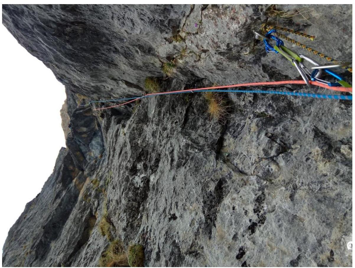
Photo 9. R6–R7.

Photo 10. View from R7 downwards.
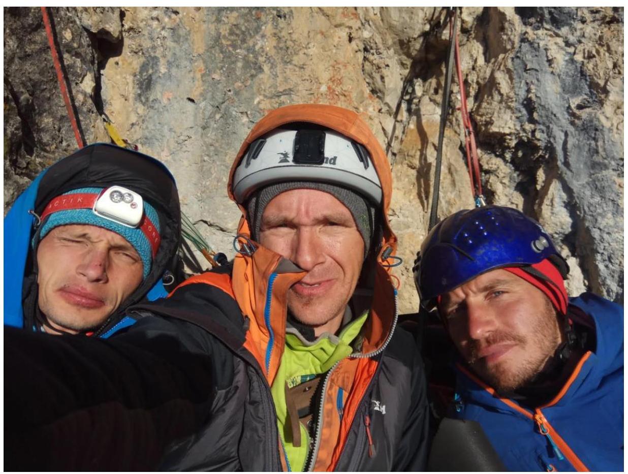
Photo 11. Morning after a sitting bivouac under rain.
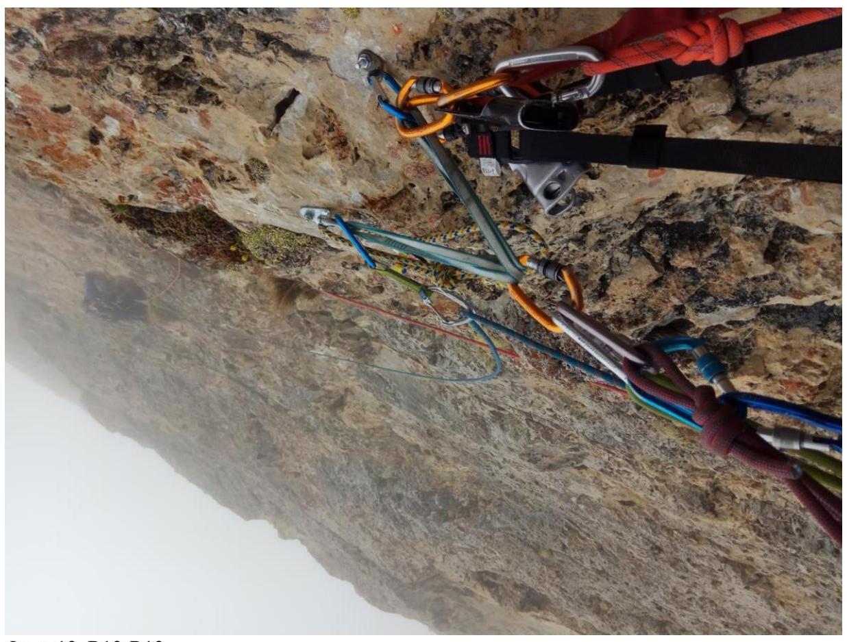
Photo 12. R12–R13
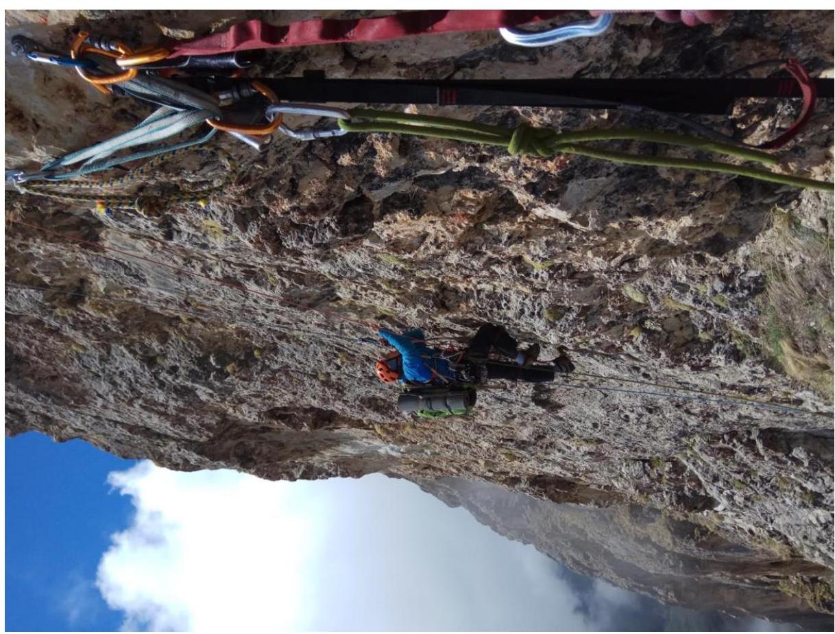
Photo 13. R12 – work on the rope.
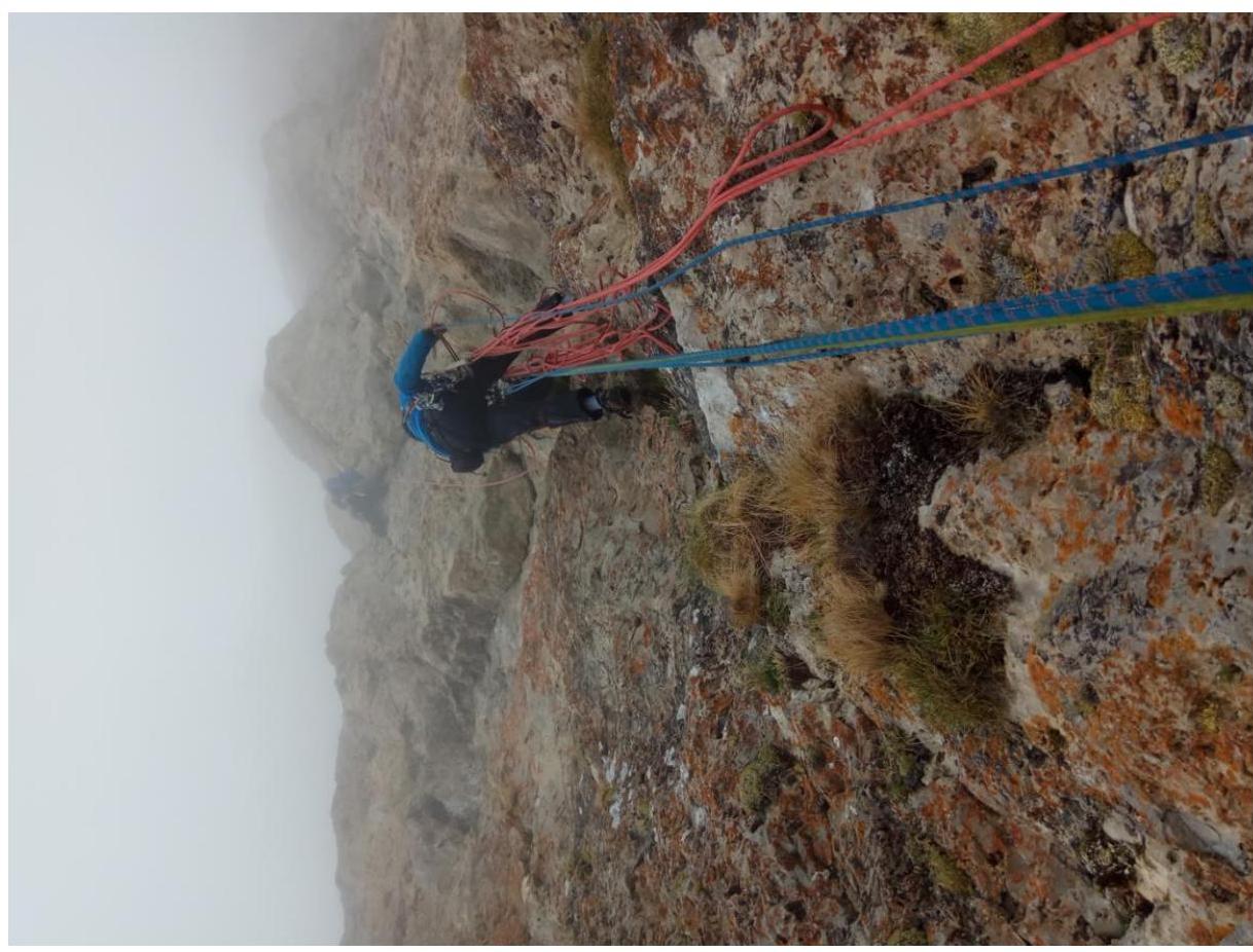
Photo 14. R13–R14.
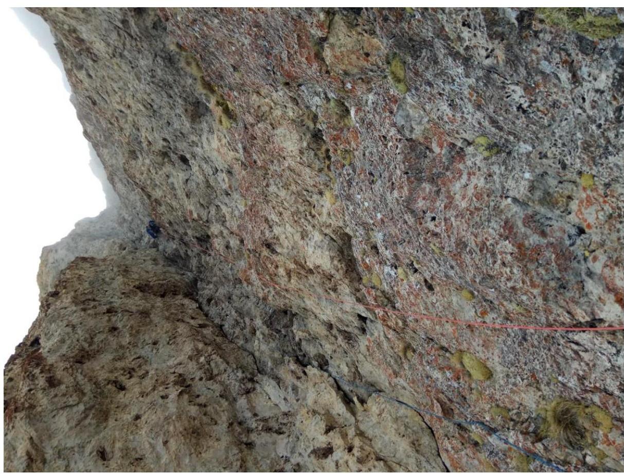
Photo 15. R16–R17.
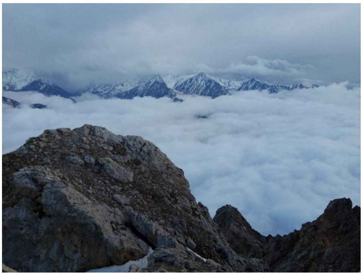
Photo 16. Summit panorama.
Summit photo
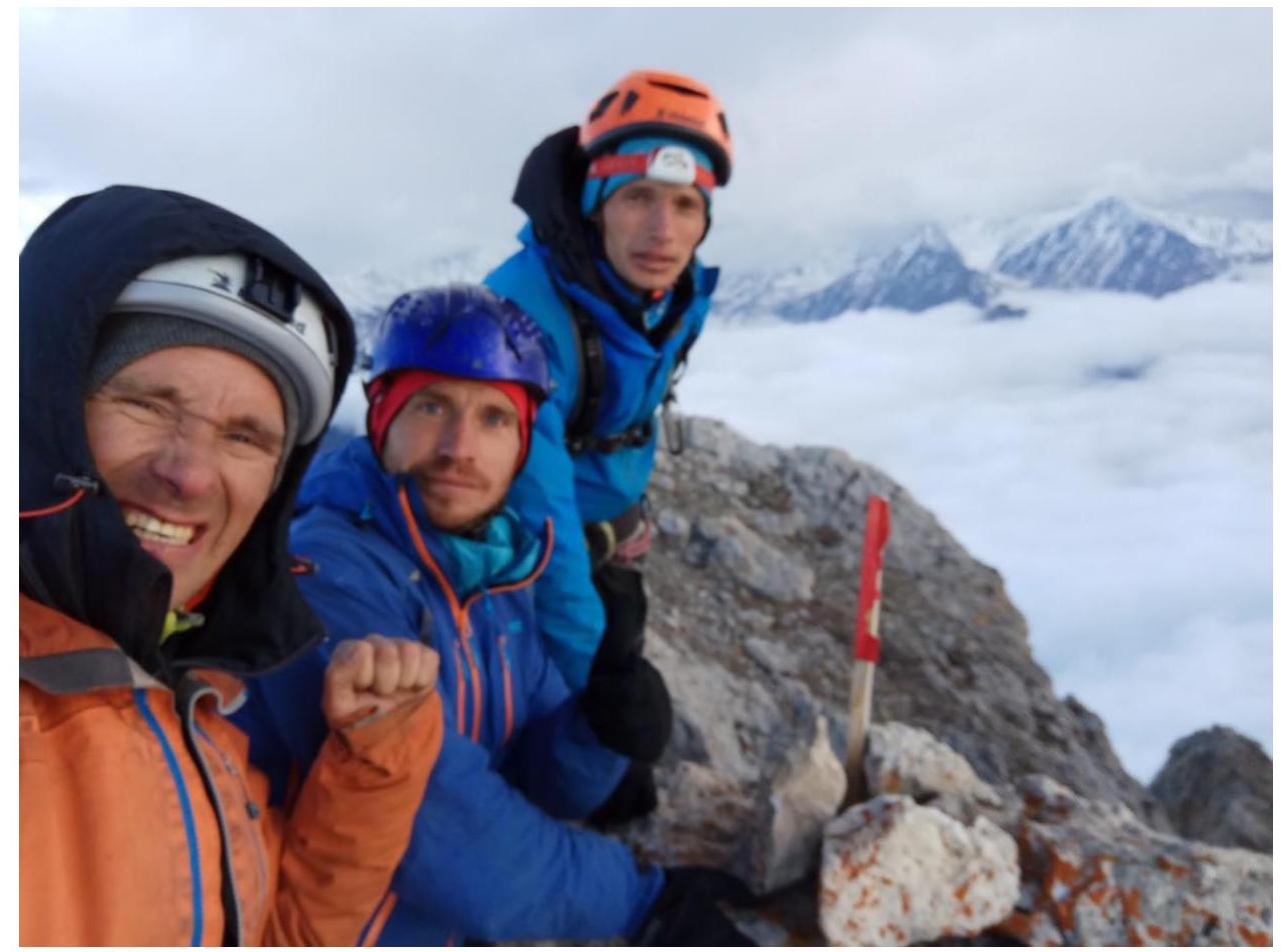
Photo 17. Summit.