48
ROUTE DESCRIPTION
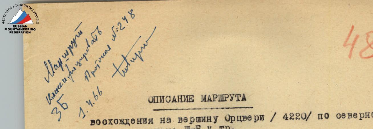
Ascent to the summit of Ortsveri (4220 m) via the North Face, category 3B.
The Kazbek high-altitude region closes the eastern part of the Central section of the Greater Caucasus.
The most significant peaks in the region are Jimarai-Khokh, Maili-Khokh, Spartak Peak, and Kazbek, forming a mountain chain from west to east, creating the Lateral Ridge of the Greater Caucasus, which is located north of the Main Ridge and significantly surpasses it in terms of absolute altitude.
The Orctveri summit is located directly south of Kazbek (5048 m) on the southeastern spur of Spartak Peak.
The Orctveri massif (4220 m), like the surrounding massifs, is composed of Kazbek effusives of the andesite type and possibly represents a remnant of a tertiary volcano crater, with the northern edge being the Kazbek summit cone.
Between the Kazbek and Orctveri massifs lies the Gergeti Glacier (also known as the Ortsveri Glacier), which feeds the Chkheri River, which flows into the Terek River near the village of Kazbegi.
The glacier flows along the base of the North Face of Orctveri, from which smaller hanging glaciers flow, one of which descends from the Ortsveri pass, located northwest of Orctveri on the ridge connecting it to Spartak Peak.
The Kazbek weather station (3670 m above sea level) is a convenient base camp for ascending Orctveri.
The usual ascent route to Orctveri via the eponymous pass is straightforward and classified as category 1B.
The ascent to Orctveri via the North Face was first made by a group of North Ossetian climbers led by R. P. Proskuryakov in March 1958, and again by a group led by D. Shevchuk in 1960.
The descent is made via the usual route: to the Ortsveri pass, from the pass to the Ortsveri Glacier, and back to the weather station.
The relative length of the route from the base of the wall to the summit is approximately 500 m. The ascent up the wall and descent back to the weather station takes a full working day. Visual and light communication is possible between the group and the winterers.
Day 1.
The ascent to Orctveri begins from Kazbegi, Georgian SSR, located 48 km along the Georgian Military Road from Ordzhonikidze, North Ossetian ASSR.
The path goes west along the road to the village of Gergeti and then along the northern slopes of the Kvenet-Mta ridge to the Tsmininda-Sameba temple. Then the path continues along a trail to the Sabertse clearing. After descending (along the trail), one reaches the second icefall of the Gergeti Glacier.
Depending on the snow cover and melting intensity, the further path goes under the icefall or 300–400 m below along the glacier. When crossing under the icefall, caution is necessary due to possible serac collapses. The glacier is crossed towards the left-bank (orographic) moraine.
When determining the further direction, it is essential to be particularly attentive. At the boundary between ice and snow, a cairn is built. Along the moraine, the path goes in a north-northwest direction to the weather station. The journey from Kazbegi to the Kazbek high-altitude weather station (3676 m) takes 8–12 hours.
Day 2.
Departure from the weather station is no later than 4:00. By traversing the snowy and scree slopes of Kazbek along the hills of the left-bank moraine of the Ortsveri Glacier towards the rocky triangle, one reaches "Yagoras-Nishi" - a large boulder, near which it is customary to exit onto the glacier.
The glacier is covered with snow, and it is necessary to proceed with extreme caution due to hidden crevasses. The glacier is crossed to approach the base of Orctveri's North Face at the point where a hanging glacier flows from Orctveri, west of the indicated route (see photo).
It takes 2 hours to reach the base of Orctveri's North Face from the weather station.
R1.
A huge bergschrund is filled with snow; the slope has a steepness of 50° and a length of 3 ropes. Movement is "en face." The slope transitions into a terrace - a step of the hanging glacier, which is traversed leftwards under the rocky edge on Orctveri's wall.
Here, one carefully crosses from the glacier to the rocky edge of the wall along a snow bridge over a randkluft. With thorough belaying via an ice axe, one crawls under the overhanging rocks.
R2.
To the left, a scree shelf leads to a snowy slope with individual rock groups and cliffs, 50 m long. The slope is ascended directly upwards, then one exits right onto the summit of the lower rocky outcrop. Belaying is done through rock outcrops. Climbing is not difficult. From the base of the wall, it takes no more than 1 hour.
Here, on the summit of the 1st rocky outcrop on Orctveri's wall, the 1st control point is established on the route. Crampons should be worn. The next section of the route ascends directly upwards through snow and rubble of moderate difficulty (overall steepness ~50°) to the base of the lower rocky tooth, characteristic on Orctveri's wall.
Here, a steep couloir begins, separating two edges on the northern wall of the summit. At the base of the wall, where the couloir bends (dropping off to the right down the wall), there is an excellent rocky hold for organizing reliable belay for those ascending the couloir.
R3.
Passing through the trough-like couloir is the most hazardous and complex stage of the route on the wall. The path through it to the summit of the II rocky outcrop is 3 ropes long, with a steepness of 45° in the lower part, gradually increasing to 60° towards the top.
The couloir has a rocky bed, partially filled with ice, and sporadically covered with snow, with andesitic rock edges protruding from under the ice.
Passage features:
- Organizing belay in the couloir is challenging due to a lack of cracks and outcrops.
- The couloir is traversed on the front points of crampons.
- The lower 2/3 of the couloir path is exposed to rockfall.
- In the upper part, the steepness of the left (orographic) couloir wall increases.
- Selecting footholds requires great caution due to heavily weathered, fractured rock, and compromised integrity of individual masses.
The exit from the couloir is to the right, onto a rocky shoulder, which is the edge of a further ascending rocky-icy ridge. On the summit of the II outcrop (shoulder), the II control point is established on the route.
Upper belay for those ascending the couloir is organized through an ice screw fixed in a crack on the "shoulder."
From the I to the II control cairn, it takes around 3 hours with significant glaciation of the couloir and the placement of 4 pitons.
R4.
Further movement is along the right (in the direction of travel) more gentle slope of the ridge, on the front points of crampons, to a rocky outcrop on the ridge, where belay is organized through outcrops.
Then, there are alternating:
- Icy sections of the ridge (steepness up to 45°);
- Rock ridges. The entire section is no more than 8 rope lengths.
In one place among rocks of moderate difficulty, there is a challenging section where a local wall, about 2 m high, has a negative slope. Along this wall, one must traverse 2 meters to the right and then ascend simple rocks, after which one re-joins the ridge line. Belay is via pitons - two rock pitons are placed.
In the upper part, the icy ridge transitions into an icy "face" with a steepness of 50–55° and a length of 1.5 rope lengths, where, in conditions of significant glaciation, it is necessary to cut steps; two ice screws are used for belay.
From the summit of the II rocky outcrop to the ridge, it takes around 2 hours.
R5.
The icy "face" leads to a pre-summit sharp icy ridge with cornices to the south. One must work on crampons below its line along the steep northern slope. Belay is via an ice axe. Then, along the slope and the destroyed rocks of the ridge, one reaches the summit of Orctveri. The duration of movement along the ridge is 30–40 minutes.
From the summit, there is an excellent view of:
- Kazbek;
- Spartak Peak;
- Jimarai-Khokh;
- all peaks surrounding the Darial Gorge in the Kobi region.
The descent to the Ortsveri pass is along the western ridge, category 1B. From the pass to the glacier, and then down the glacier, sticking to Orctveri's slopes, one returns to "Yagoras-Nishi," where one exits onto the left-bank moraine. From the summit to "Yagoras-Nishi" takes no more than 2.5 hours.
The route via Orctveri's North Face has been traversed in recent years by several groups. In the opinion of the climbers, the route should be rated as category 3B difficulty.
Equipment recommended for a group of 4.
- Ropes - 2 pieces × 40 m.
- Rock pitons - 6 pieces.
- Ice screws - 5 pieces.
- Crampons - 4 pairs.
- Carabiners - 6 pieces.
Description compiled by:
R. P. PROSKURYAKOV.