- Eastern Bokos via the South slope (combined route, category 2B difficulty, fig. 29).
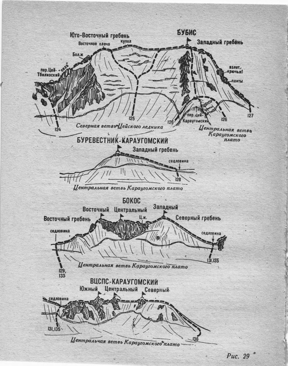
The path from the village of Dzinaga or from the tourist center of the Tsey region (group of 4-20 people) to the initial bivouac on the upper plateau of the Western branch of the Karaugom plateau near the western saddle of Shovi - Karaugom pass is described in route 83.
From the bivouac, across the snowy plateau of the Western branch (closed crevasses) and slope, exit to the left side of the South ridge (cornice) of the Eastern Bokos peak. Without reaching the ridge, along the snowy slope on the left side of the South ridge, gradually increasing in steepness, move left into the second snowy couloir. Then:
- Along the steep snowy slope of the narrowing couloir, 350-400 m left - upwards (avalanche risk) to its end.
- From the couloir, exit left - upwards onto the rocks.
- Along steep, broken, and snow-covered simple rocks, ascend 100-120 m to the main ridge of the Bokos massif (including two 2-3 meter walls of medium difficulty).
- On the main ridge, turn right and along the wide, simple, snow-covered rocky ridge, ascend to the summit of Eastern Bokos.
Descent is via the ascent route. Duration of the route without the approach is 1 day.
Naumov A. F. Karaugom, Digoria, Tsey (Central Caucasus), M., "Fizkultura i sport", 1976.
BUCPS-KARAUGOM South Central North