REPORT ON THE FIRST ASCENT TO THE SUMMIT OF MESHENA CENTRALNAYA (3150 m) VIA THE "Southern Counterfort" ROUTE, Category 3B, BY THE "UAL" TEAM FROM APRIL 18, 2022
Climbing Passport
- General Information
1.1 Team Leader: Gurenko T.Yu., 2nd sports category 1.2 Participants: Chikin A.B., 1st sports category 1.3 Coach: Yakovenko A.N. 1.4 Organization: "UAL"
- Characteristics of the Climbing Object
2.1 Caucasus, Rocky Ridge, Digoria 2.2 Urukh Valley 2.3 Section 2.6: From Gezivtsék Pass to Gurdзивцék Pass 2.7. Meshena Centralnaya 3150
- Route Characteristics:
3.1 Via the Southern counterfort 3.2 Category 3B 3.3 First ascent 3.4 Rock climbing 3.5 Route elevation gain: 250 m 3.6 Route length: 420 m
3.7 Complexity breakdown:
- Category I rock climbing — 100 m
- Category II rock climbing — 140 m
- Category III rock climbing — 60 m
- Category IV rock climbing — 40 m
- Category V rock climbing — 75 m
3.8 Descent from the summit: via route 2A from the South along the western ridge
- Team Actions:
4.1 Total climbing time: 1 hour 20 minutes 4.2 No overnight stays 4.3 Departure for the route: 8:20 AM, April 18, 2022 4.4 Summit arrival: 9:40 AM, April 18, 2022 4.5 Return to base camp: 12:00 PM, April 18, 2022
- Report Author:
5.1 Chikin Artem Borisovich, artem.chikin@mail.ru, 8-918-828-48-28

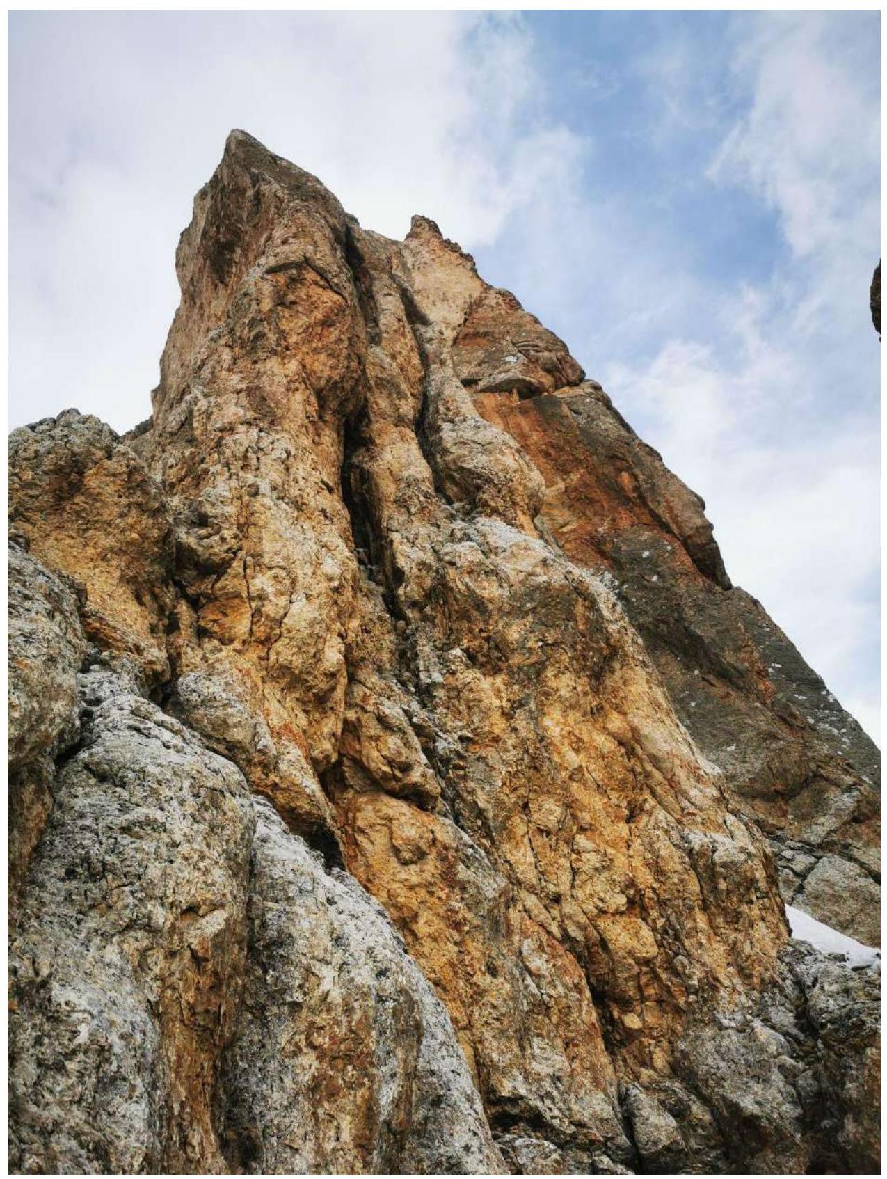
General photo of Meshena Centralnaya 3150 on the approach, April 18, 2022
Brief Overview of the Climbing Area
Meshena Centralnaya is part of the Rocky Ridge in the Greater Caucasus mountain system (Republic of North Ossetia, Irafsky district).
The path to the mountain follows the Urukh River valley. Turn right 2 km after Matsuta village onto a dirt road, which is in poor condition in some places. After about 5 km, the road leads to a large estate built on the site of the former Kumbulta village. There is a fork: straight to Donifars village, left towards the summit. This fork can also be reached from Donifars, but the bridge over Urukh is in poor condition.
After Kumbulta, the road is very poor, suitable only for 4WD vehicles, even in summer. Those traveling in winter are advised to leave their cars on a gentle grassy slope just above the estate.
On foot, it takes about 1.5 hours from there to the last кош (there are 3 in total on the way). The кош is located at the foot of the mountain and serves as the base camp. Its coordinates: 43.0112° N, 43.7169° E, elevation — 2480 m. It is marked on the View Ranger navigator at maximum scale.
Additional information:
- Water is available.
- Mobile phone signal (Megafon) is available but unstable.
- Registration with the Ministry of Emergency Situations: 8-928-492-09-62.
Route Description
From the кош or old geological mine, follow a good trail west towards the visible Uazakhokh mountain. Before reaching the Upper Uaza pass, turn right onto the slope towards Meshena Centralnaya. Head towards the couloir separating Meshena Eastern and Meshena Centralnaya. Approach the couloir, then continue about 100 m west to a small couloir — an internal angle with grassy ledges — the start of the route.
R0–R1: Couloir — internal angle with grassy ledges. Category 2, 50 m.
R1–R2: Turn right upwards 20 m, Category 3; reach a shoulder with a cairn, then left upwards 20 m, Category 3; approach a wall with a crack.
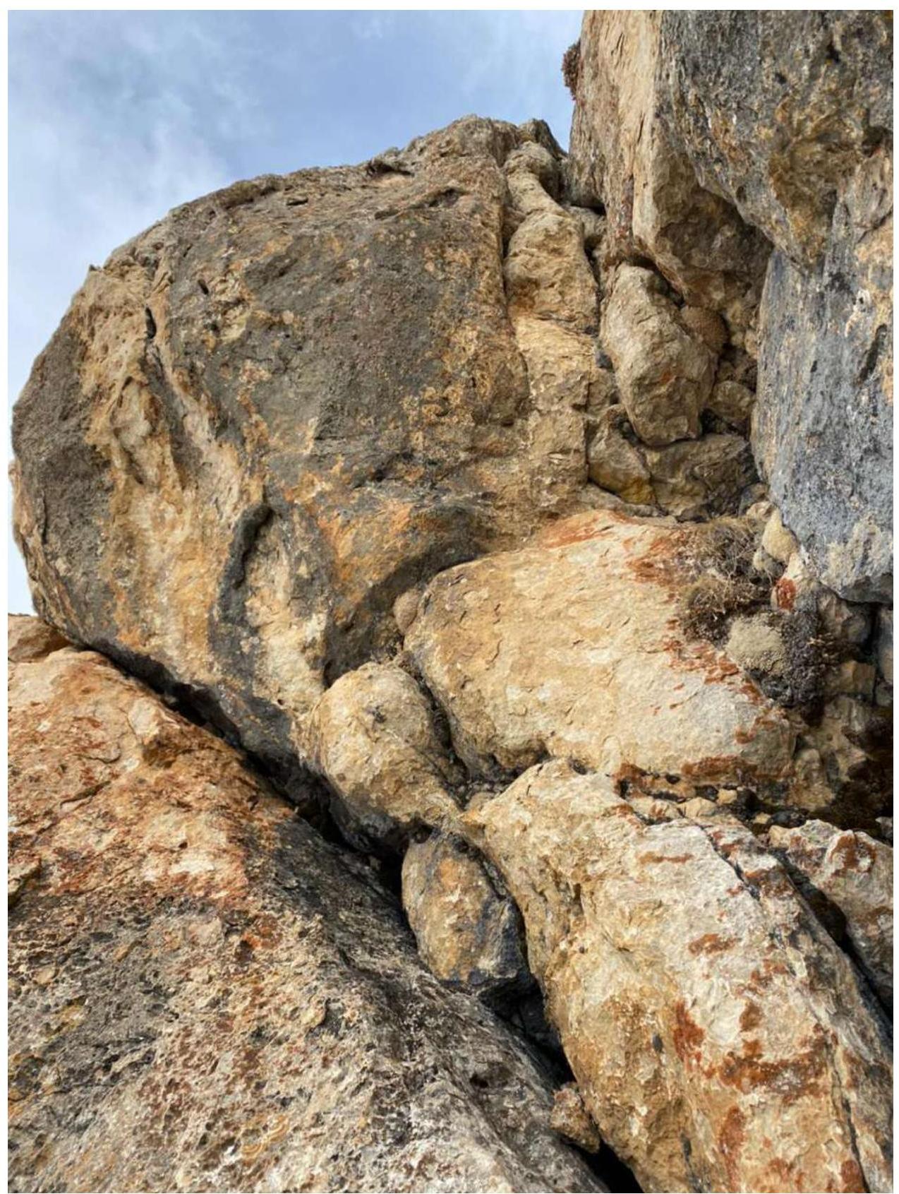
R2–R3: Wall 7 m, Category 5; then another 20 m, Category 3–4; reach the shoulder of the counterfort.
R3–R4: Descend from the shoulder 3 m; then a wall 3 m, Category 5; counterfort — ridge Category 3–4, 40 m; approach a wall, descend and traverse right–down about 5 m — under a wall with a crack.
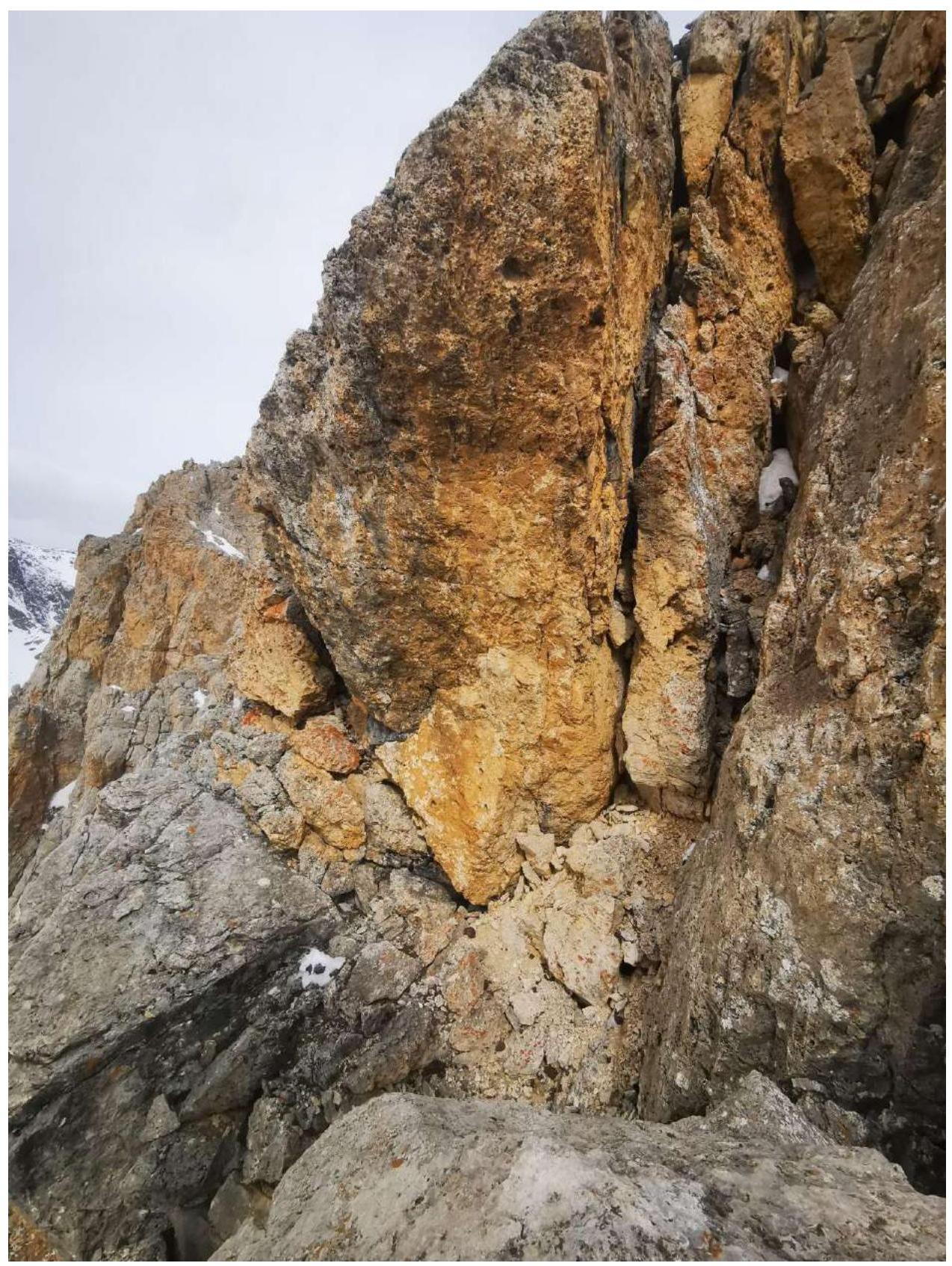
R4–R5: Wall with a crack Category 5, 25 m; reach the shoulder of the counterfort and ledges.
R5–R6: Follow ledges to a wall Category 1–2, 40 m.
R6–R7: Wall Category 5, 20 m; reach ledges.
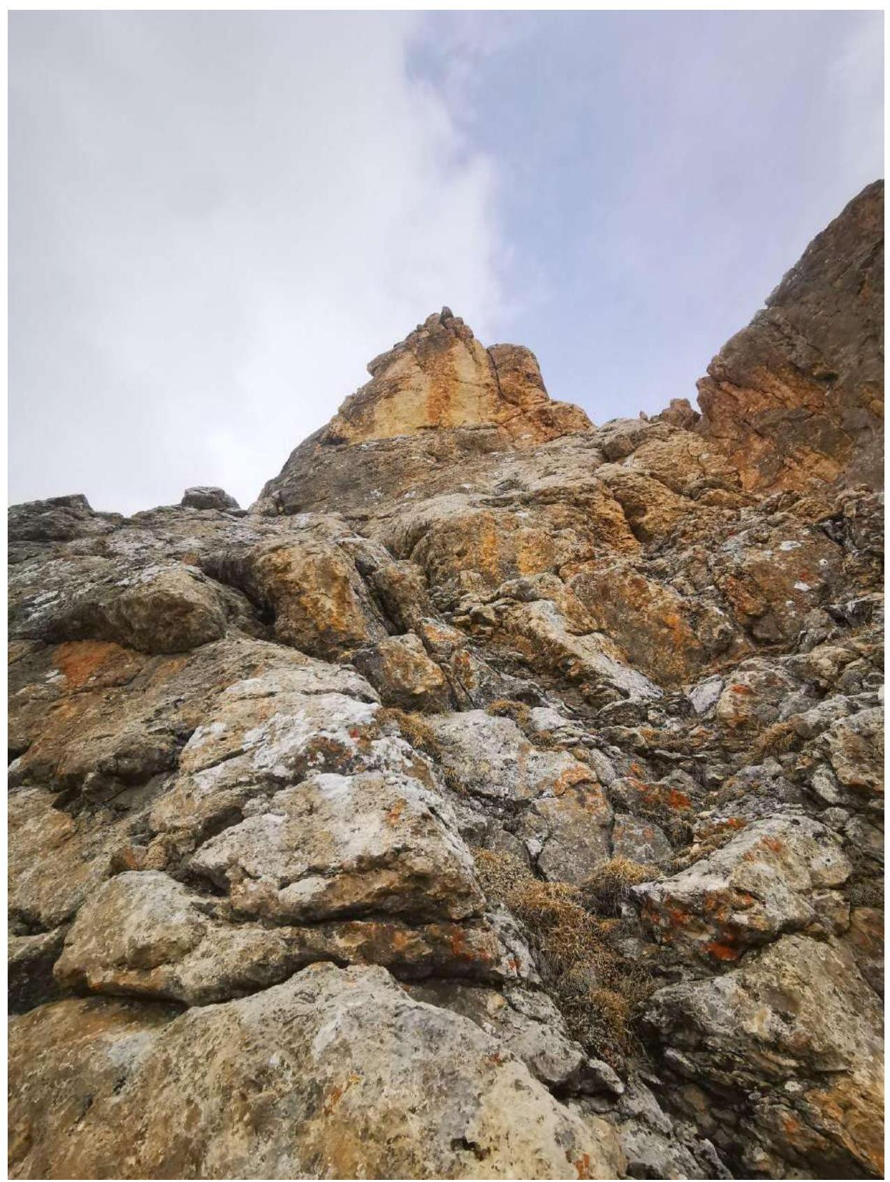
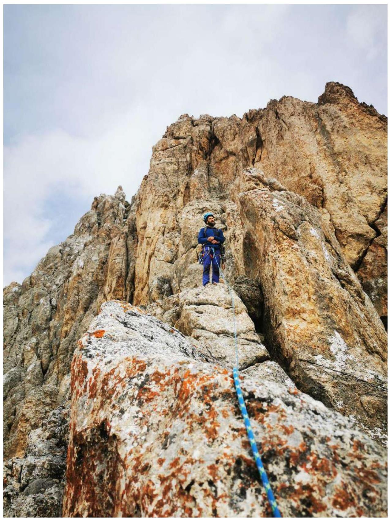
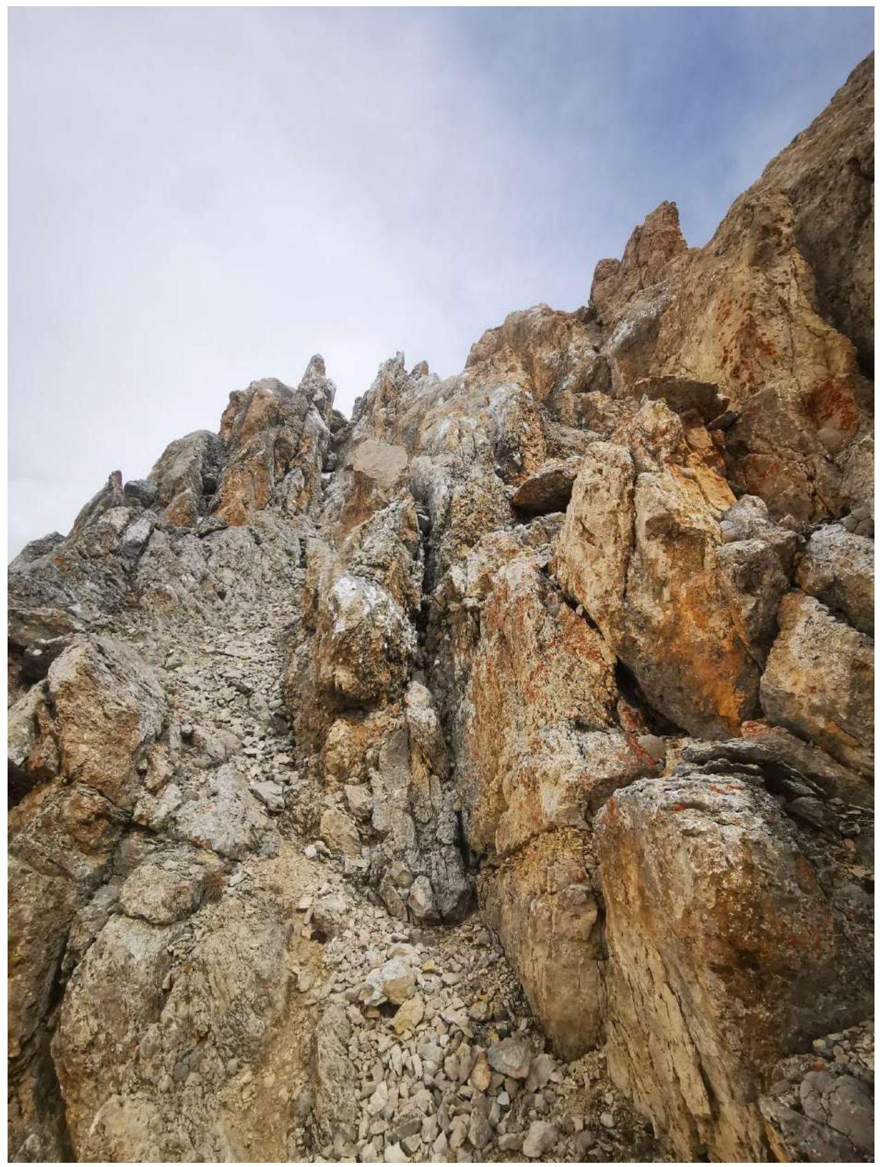
R7–R8: Follow ledges, descend left–down, bypassing gendarmes on the counterfort, enter a scree couloir and reach the summit tower Category 1–2, 150 m.
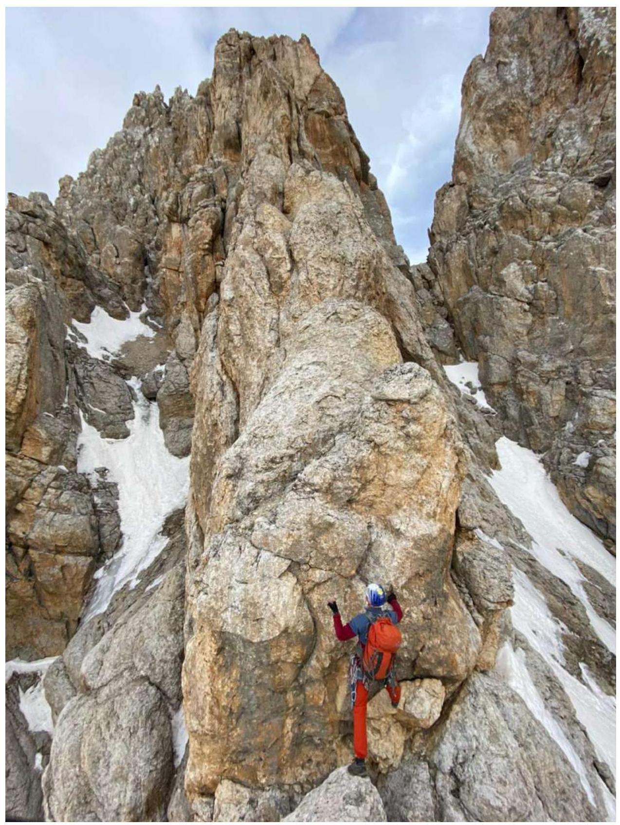
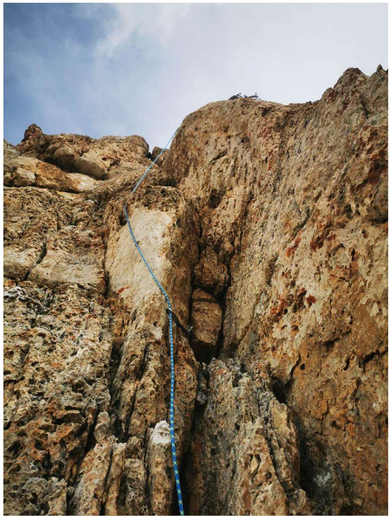
R8–R9: Wall Category 5, 20 m; reach the summit.
Descent via route 2A along the western ridge, with rappel anchors available.
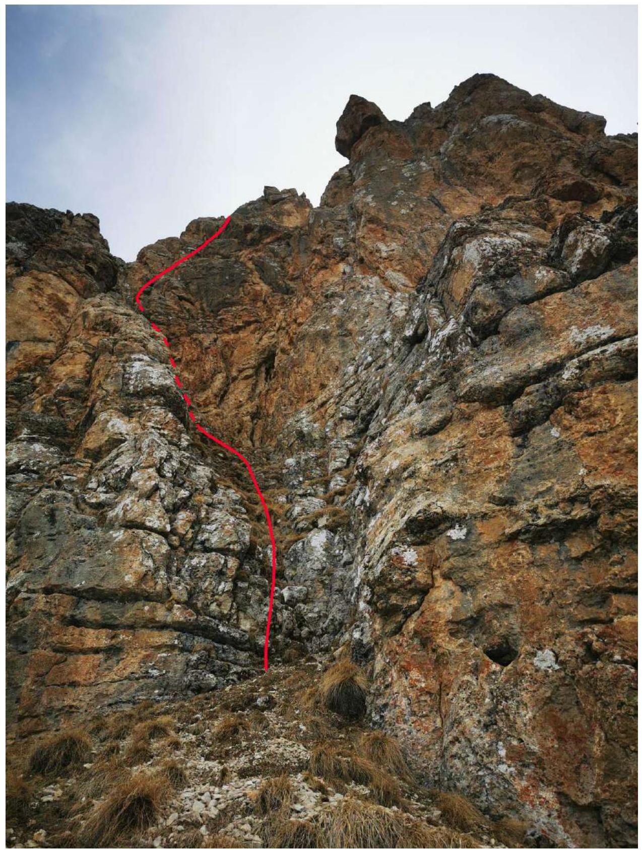
Section R0–R1
Section R1–R2
Section R2–R3
Section R3–R4
Section R4–R5
Section R5–R6
Section R6–R7
Section R7–R8
Section R8–R9
Conclusions and Recommendations for the Route
The route is recommended for training groups and sports teams. The climbing difficulty and number of challenging sections make it a good Category 3B route. It is more challenging than A. Popov's Category 4A route on Meshena Western but easier than S. Egorin's Category 4A route on Meshena Eastern.
For protection, it is advisable to use:
- Rock features;
- Friends;
- Pitons.
During the off-season, snow may be present in the couloir on the descent via route 2A. The route was completed using simultaneous protection in 1 hour 20 minutes. The climbing is very interesting and varied, with solid rock on challenging sections.