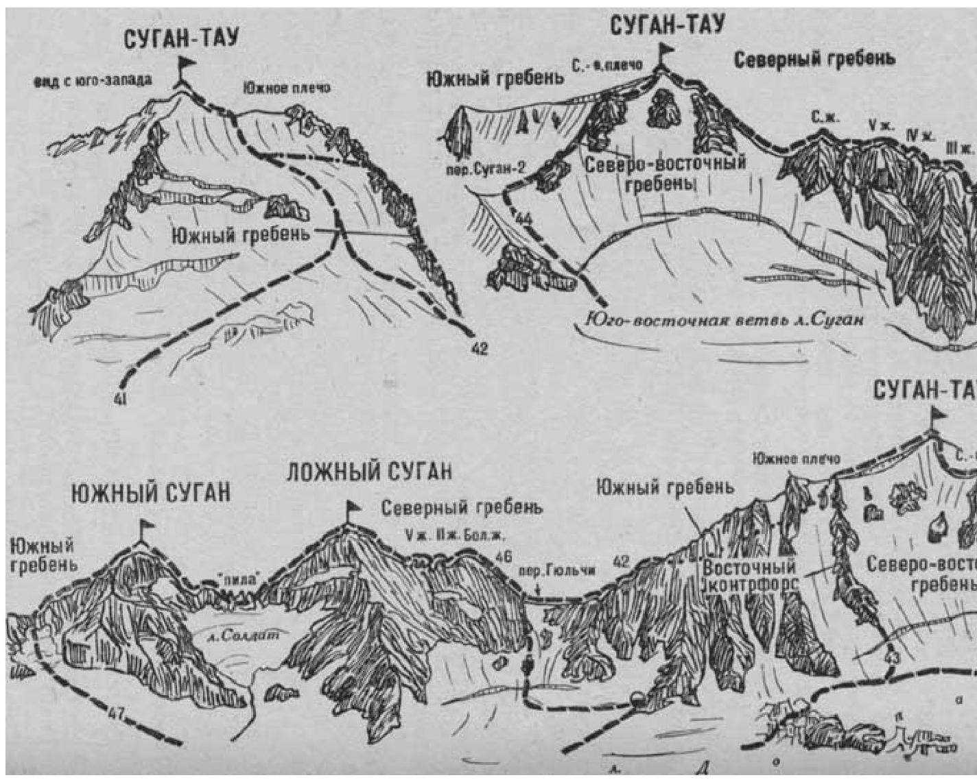
- Sugan False — South (combined route, category III, Fig. 12).
The path from the "Nakhashbita" meadow (group of 4-8 people) to the summit of False Sugan is described in route 46. From the summit, descend via simple and moderately difficult rocks of the South ridge to the col. From the col, traverse via simple and moderately difficult, heavily destroyed rocks on the left side of the ridge ("live" stones — piton belay) bypass the rock "saw" consisting of several sharp gendarmes and reach the col. Then:
- overcome the I gendarme directly via moderately difficult rocks;
- descend to the col below the summit ascent of South Sugan;
- from the col, via steep, moderately difficult rocks of the North ridge (piton belay), ascend to the summit of South Sugan.
From the summit of False Sugan — 5 hours. Bivouac on the summit.
From the summit of South Sugan, descend via the simple, gently sloping, destroyed South ridge down to the saddle. On the saddle, turn left and descend via destroyed simple rocks, then via a snowy slope and further via scree to the Doppakh glacier.
Route duration is 2 hours.
Naumov A. F. Karaugom, Digoriya, Tsey (Central Caucasus), M., "Fizkultura i sport", 1976.