Ascent Report
- Caucasus, Rocky Range, Cherek gorge.
- Ekrzdyggen peak, 3160 m, via the northern ridge.
- Proposed - 1B category of difficulty, first ascent.
- Route type: combined.
- Route elevation gain: 915 m (GPS) Route length: 1300 m. Average slope of the entire route - 35°.
- Pitons left on the route: total: 0; including bolted: 0.
- Team's travel hours: 10 hours, 1 day.
- Leader: Timoshenko Tatiana Ivanovna, Master of Sports Participants:
- Bozhenova A.Yu. - badge
- Bogdanova A.G. - III
- Pavlenko S.V. - badge
- Senis I.Ya. - III
- Coach: Timoshenko T.I. - Master of Sports.
- Exit to the route from the base camp: Route started: 8:20, February 15, 2012. Reached the summit: 15:30, February 15, 2012. Returned to base camp: 18:40, February 15, 2012. Descent from the summit: via the ascent route
- Organization: UTS FASIL St. Petersburg, LETI alpine camp.
- Responsible for the report: Bozhenova A.Yu. Email and phone: baju_803@mail.ru, 8-952-230-78-29
General photo of the route: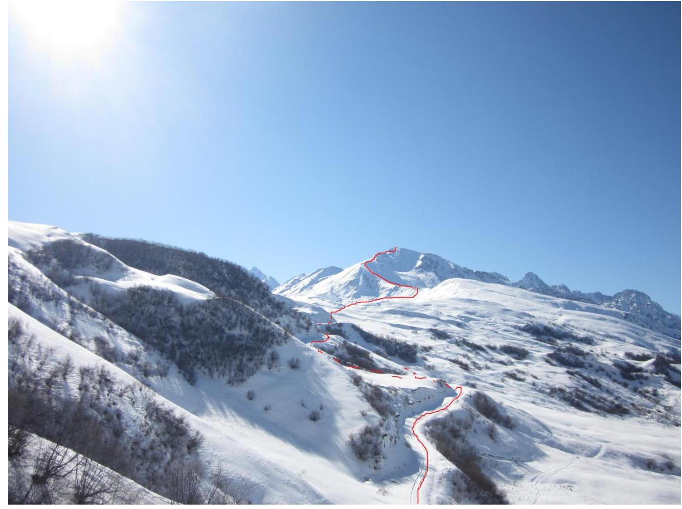
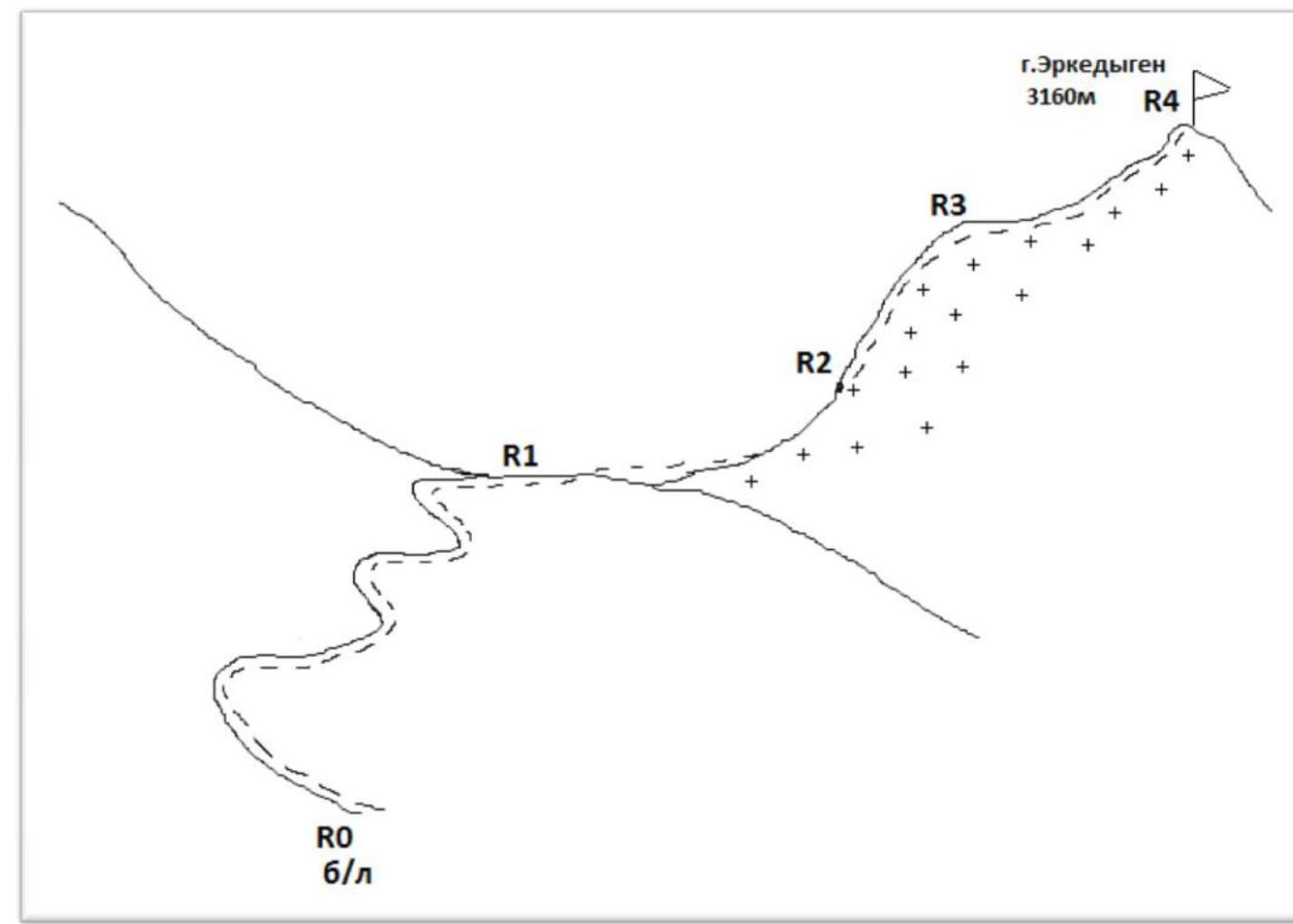
Profile of the north-eastern ridge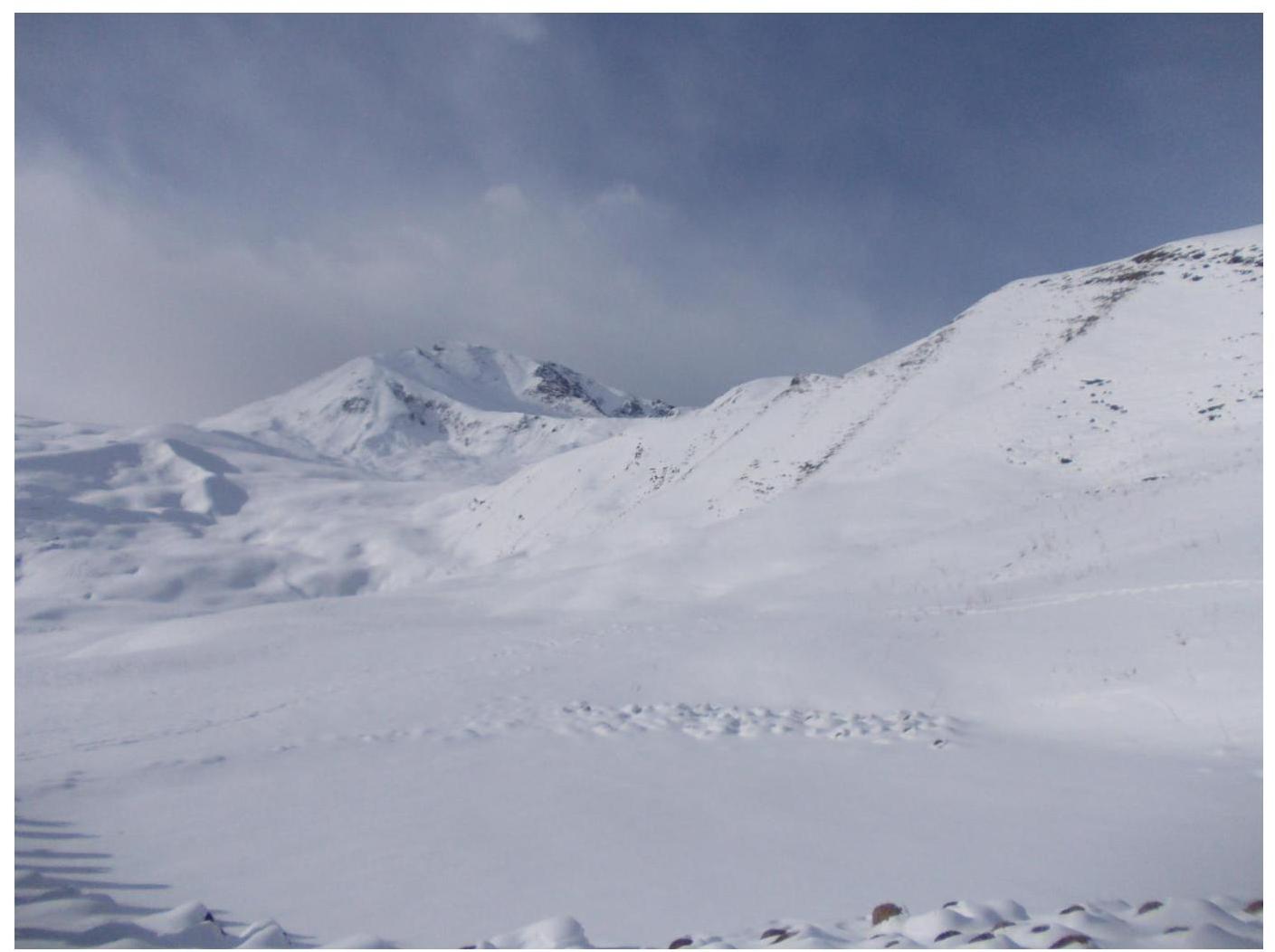
Profile of the northern ridge, summit approach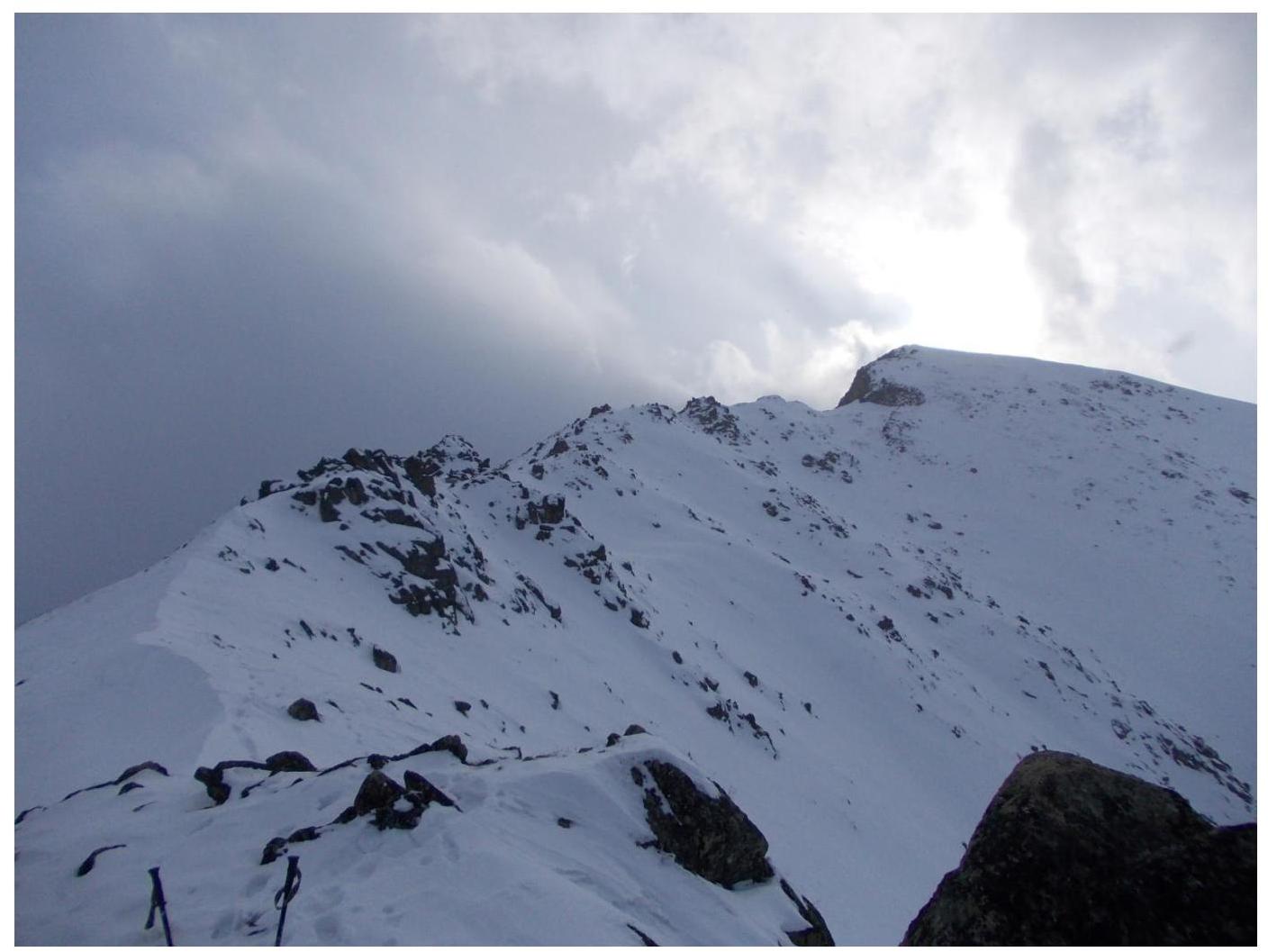
Map of the area: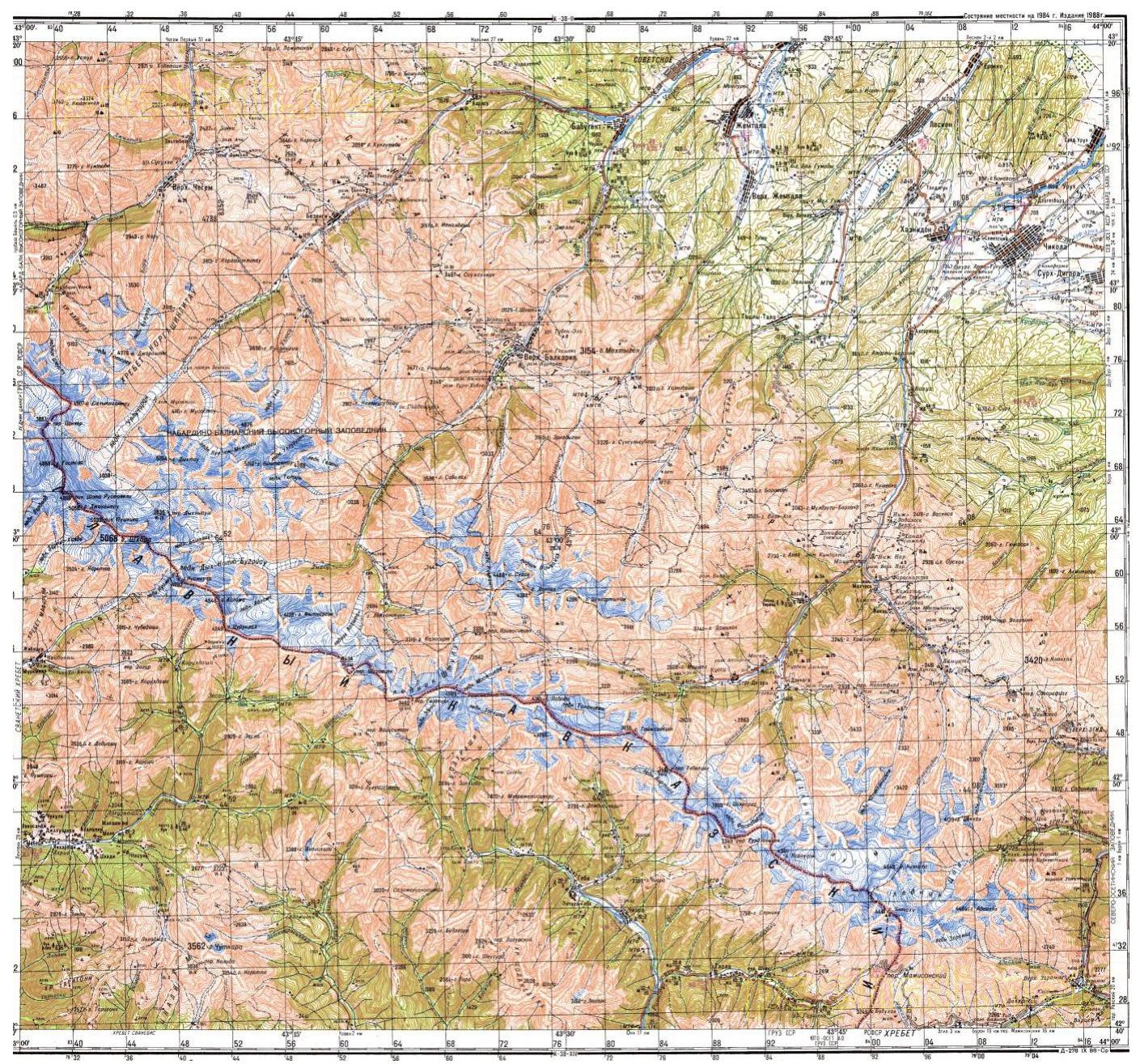
| Section # | Length | Steepness | Terrain type | Category of difficulty | Number of pitons |
|---|---|---|---|---|---|
| R4–R5 | 30 m | 45 | Broken rocks | 2 | 0 |
From the base camp, we walked left along the main road to the pass - section R0–R1 (photo 1). The path to the pass takes about 30 minutes. From the pass, we headed towards the north-eastern ridge (photo 2). The path lies through a valley with many snow hills. There are two shepherds' huts in the valley.
From the valley, we ascended to the north-eastern ridge - section R1–R2 (photo 3).
Then we moved along the snowy ridge to the intermediate summit of North Ekrzdyggen - section R2–R3. There is a control cairn with a note on the summit (photo 4).
Then we proceeded along the northern ridge to the summit - section R3–R4 (photo "Profile of the northern ridge, summit approach"):
- It is recommended to traverse in rope teams on the southern side of the ridge on snow, using the terrain for belaying (photo 5).
- Before reaching the summit, there is a narrow, scree-filled couloir (photo 6).
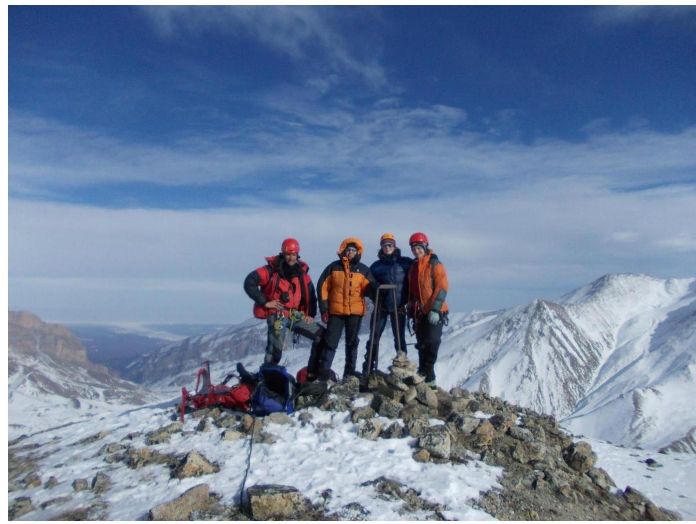
There is a control cairn with a note on the summit.
The descent was made via the ascent route.
Photo 1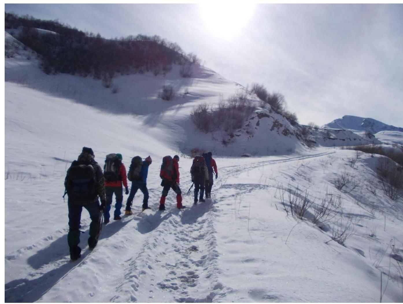 Approach to Kurnyata pass (2245 m) along the road.
Photo 2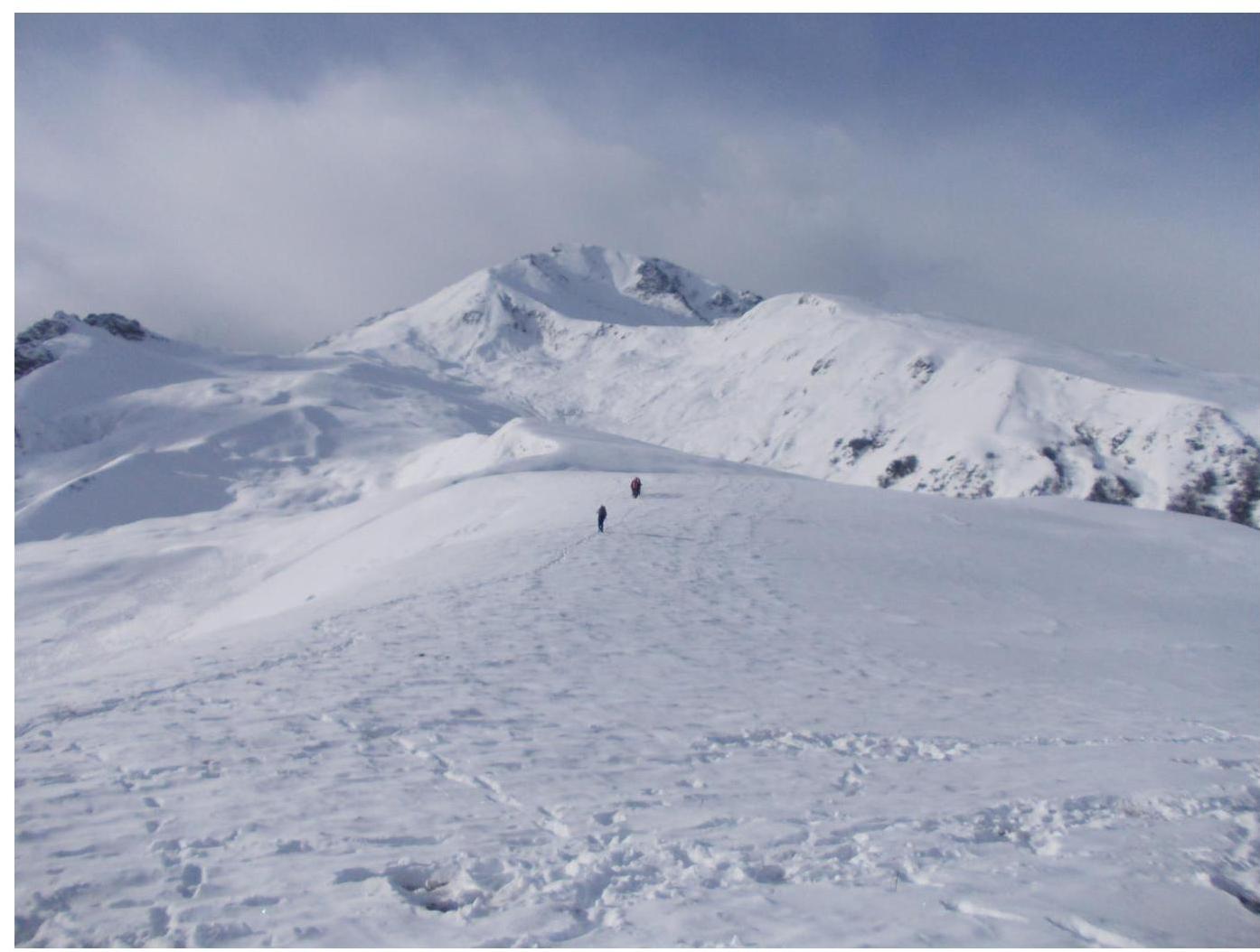 Approach to the north-eastern ridge across snowy hills.
Photo 3 - view from the north-eastern ridge into the valley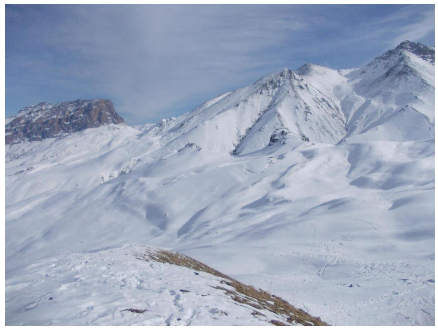
Photo 4: Gendarme on the ridge
Photo 5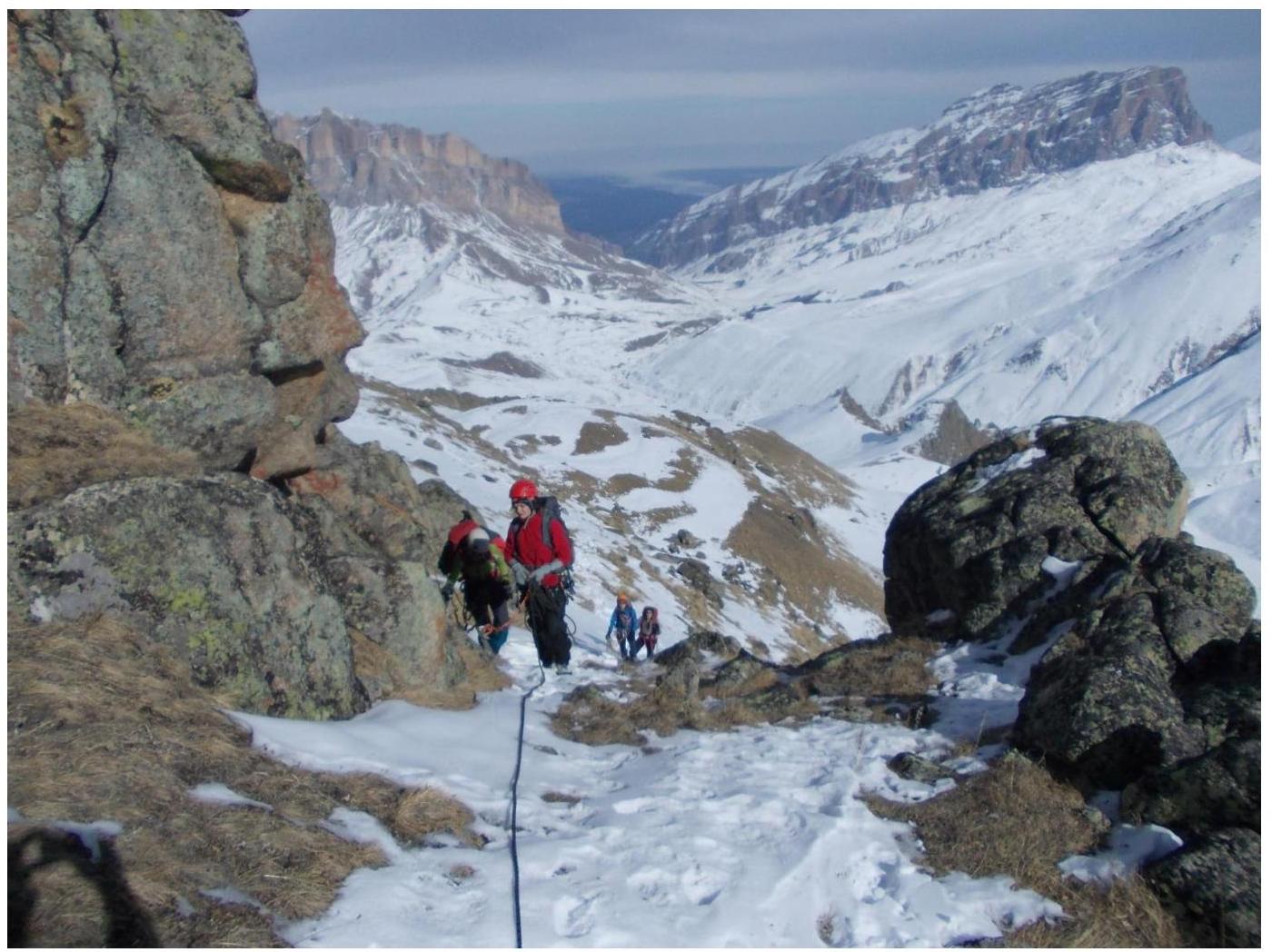
Photo 6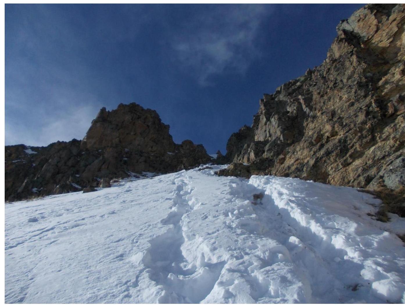 Start of the crux - scree-filled couloir.
Photo from the summit: