Ascent Passport
-
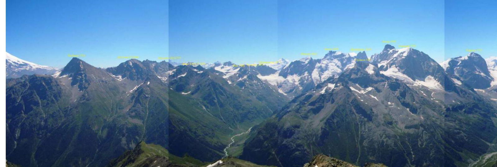
Western Caucasus, Uzunkol region, Kiчkinekol gorge, section number according to the classification table 2.3
-
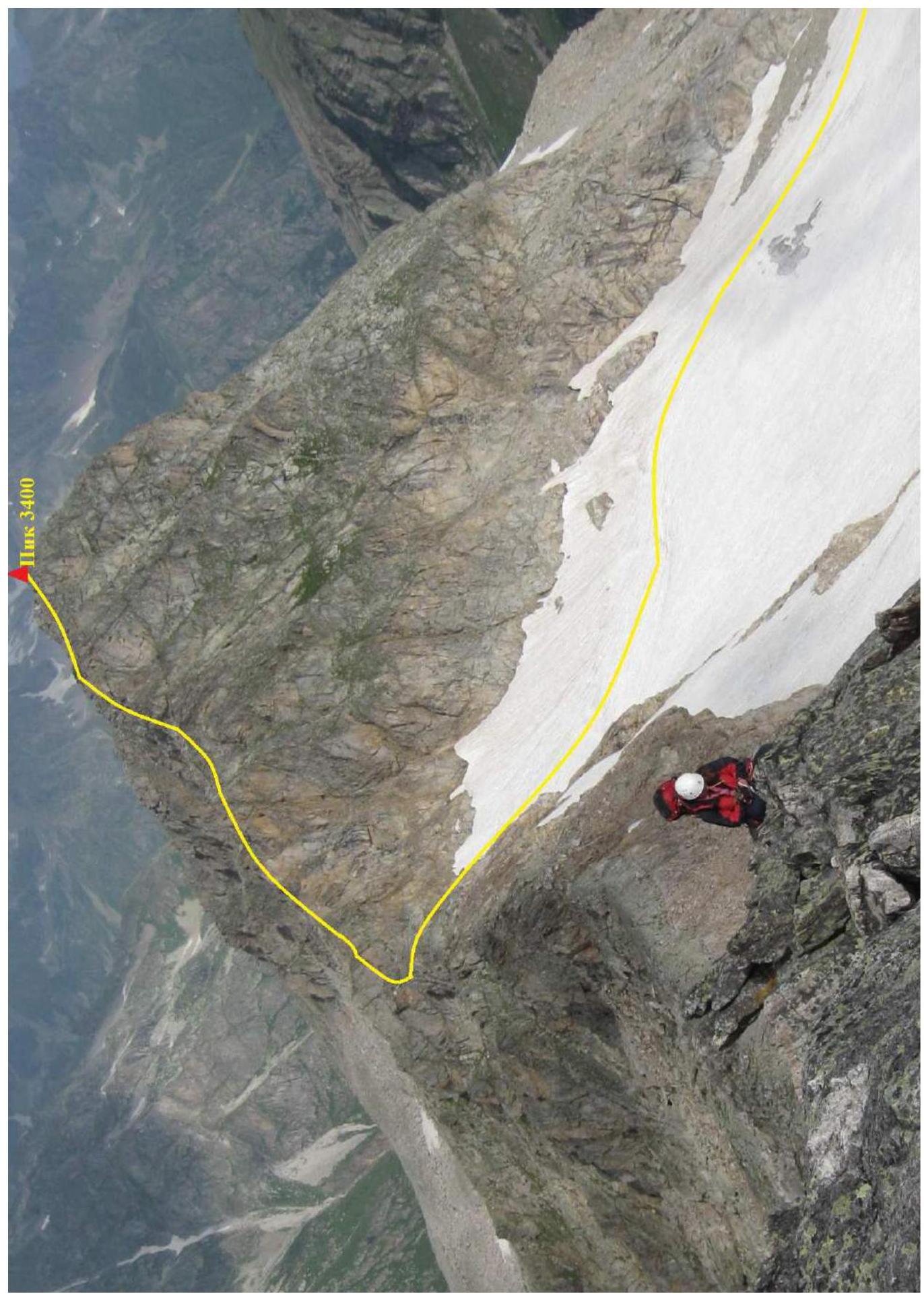
Peak 3400 (Raspopova), via the eastern ridge
-
Proposed 2A category of difficulty, first ascent
-
Route type: Rocky
-
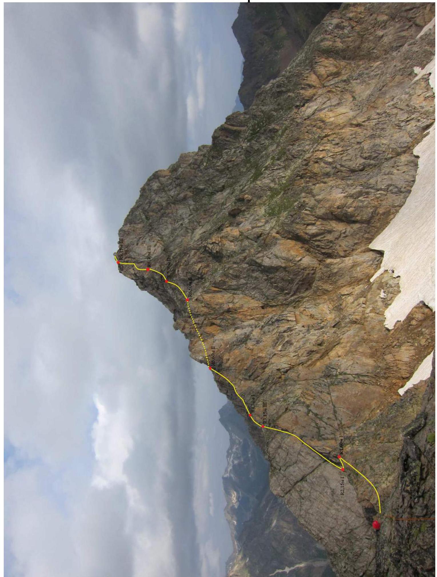
Height difference of the route: 250 m Route length: 575 m Section lengths:
- I – 135 m
- II – 380 m
- III – 60 m Average steepness of the route — 30°
-
Insurance points used on the route: Camalots – 5, Stopper – 5.
-
Team's travel hours: 4 hours, 1 day
-
Leader: Enin Vladimir Ilyich, CMS, instr. 1 cat.
Participants:
- Nagornov Dmitry Nikolaevich, 1st sports rank, instr. 3 cat.
- Hashabaev Anton Andreevich, 1st sports rank, instr. 3 cat.
-
Coach: Enin Vladimir Ilyich, CMS
-
Approach to the route: August 12, 2011, 10:30 Reach the summit: August 12, 2011, 14:30. Return to Uzunkol base camp: August 12, 2011. Descent via the ascent route.
-
Stavropol Regional Federation of Alpinism.
-
Responsible for the report: Nagornov Dmitry, barmalei90@mail.ru, tel. 8-918-878-29-56, or Enin Vladimir, 8-928-941-14-44, eninstis@yandex.ru
Route Line
Summary Table
| Section # | Length | Steepness | Terrain Type | Cat. of diff. | Number of pitons |
|---|---|---|---|---|---|
| R0 | 300 | 20–25 | Snow, firn. | 2 | 0 |
| R1 | 60 | 10–15 | Ridge | 1 | 0 |
| R2 | 15 | Slab | 1 | 0 | |
| R3 | 15 | 70–80 | Internal corner | 3+ | 4 |
| R4 | 30 | 10–15 | Ridge | 1 | 0 |
| R5 | 60 | 35–40 | Ridge | 2 | 0 |
| R6 | 30 | 35–40 | Ridge | 2 | 0 |
| R7 | 30 | 40 | Ridge | 2+ | 0 |
| R8 | 30 | 70 | Chimney with a plug | 3 | 3 |
| R9 | 15 | 75 | Wall | 3 | 3 |
| R10 | 30 | 10–15 | Ridge | 1 | 0 |
| R11 | 40 | 15–40 | Sharp ridge | 2 | 0 |
| R12 | 40 | 20–45 | Destroyed corner | 2 | 0 |
| R13 | 60 | 20–50 | Ridge | 2 | 0 |
| R14 | 40 | 10–15 | Sharp ridge | 2 | 0 |
| R15 | 50 | 20–25 | Dome | 2 | 0 |
Technical Photo
Description
Detailed description of the area and approach to the route completely coincides with the description of the first ascent to the Talychat peak, via the western ridge, approximately 1B category of difficulty.
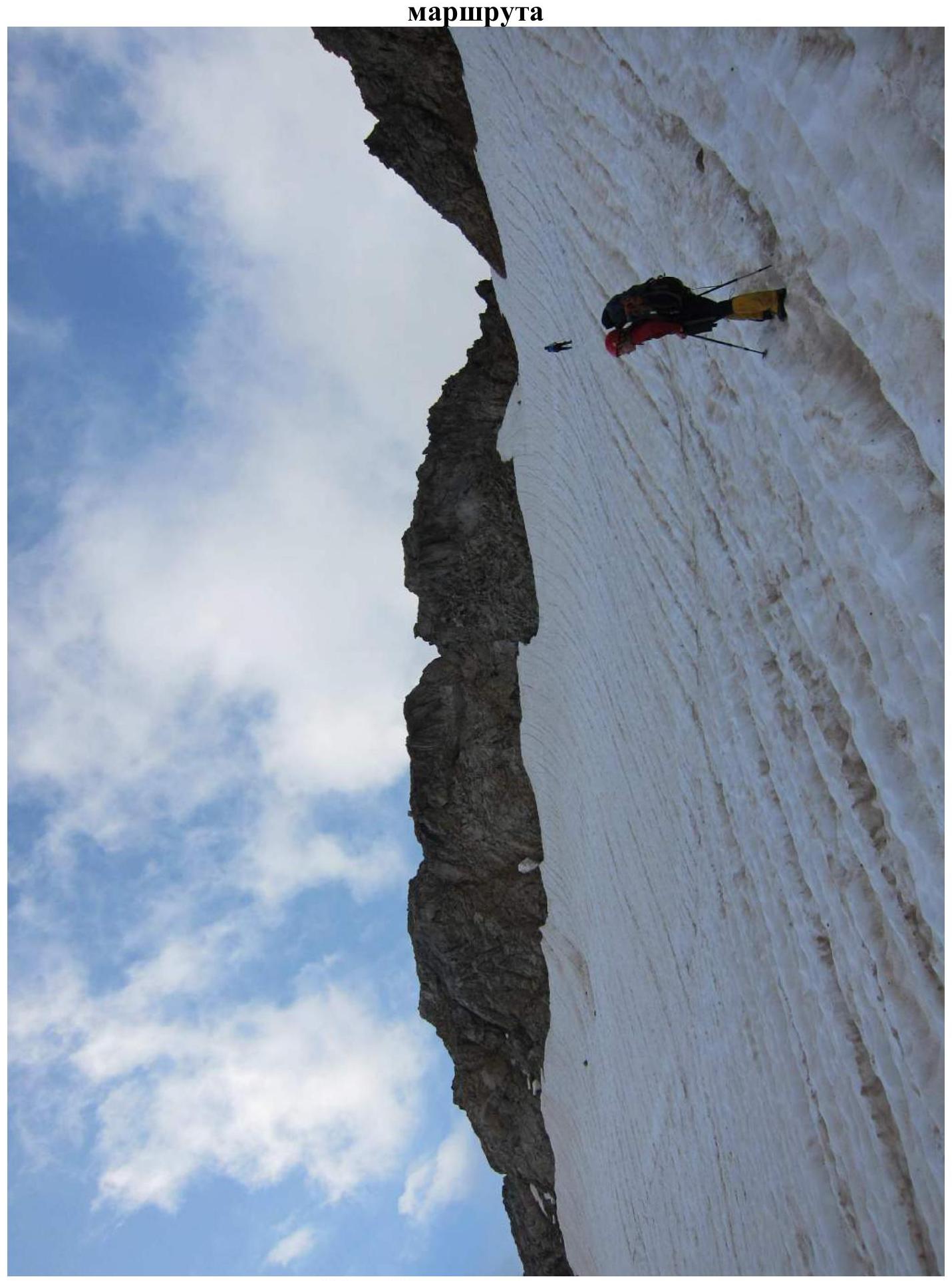
R0 — 300 m. From the dirty lake, across snow of medium steepness to the pass (South Talychat). R1 — 60 m. From the pass, movement along the destroyed ridge. R2 — 30 m. Down a smooth, inclined slab. R3 — 15 m. Internal corner turning into a wall, with a 3-finger wide crack. This is the key section of the route. At the exit, a control cairn. R4 — 30 m. Wide, heavily destroyed ridge. R5 — 60 m. Bypass the first "guardian" on the left to the gap. Landmark: a steep couloir, resembling a funnel, goes to the right. R6 — 60 m. Bypass the second "guardian" on the left along the destroyed rocks. R7 — 30 m. Up the left part of the ridge to a wide chimney with a plug. R8 — 30 m. To the right along a small wall, then along a smooth, inclined slab with standing two-meter blocks. Here is a convenient place for insurance through a loop. R9 — 15 m. Further, a little to the left and up the rocks, resembling feathers. Live rocks are encountered. Landmark: a 100-meter smooth wall to the right, breaking off downwards. R10 — 30 m. Simple movement along the ridge with overcoming a 1.5-meter wall to a slab going down. R11 — 40 m. Along an inclined slab turning into a sharp ridge to a meter-long "finger", which is climbed on the right. Then to a smooth wall, in front of it — a small gap. R12 — 40 m. Descent by climbing into the gap, to the left side. Then, traversing along the left part of the ridge with an exit to it via a destroyed corner. R13 — 60 m. Descent by climbing along the right part of the ridge into the gap. R14 — 40 m. Ascent along a 10-meter rib to the ridge. Movement of 30 m along a sharp, местами расчленённому along the ridge. Climbing on balance in an "откидка" (hanging position). R15 — 50 m. Uncomplicated, but interesting ascent along the slabs of the summit tower to the summit itself.
Recommended descent route: via the ascent route or along the western ridge (route 2B category of difficulty), which leads to overnight stays at the Stavropolskaya glade. Descending along the northern slopes is not recommended due to ambiguity and high rockfall hazard.
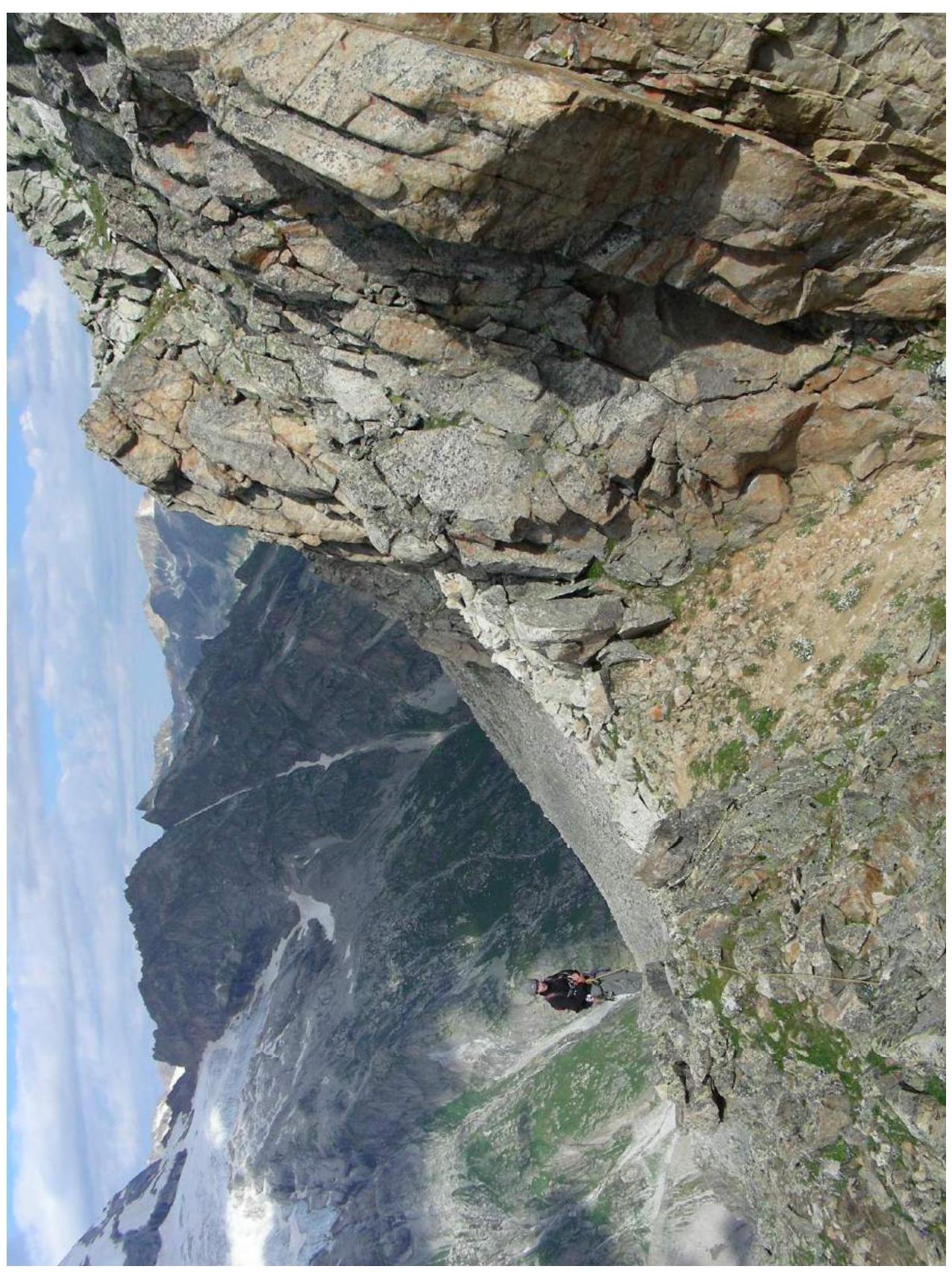
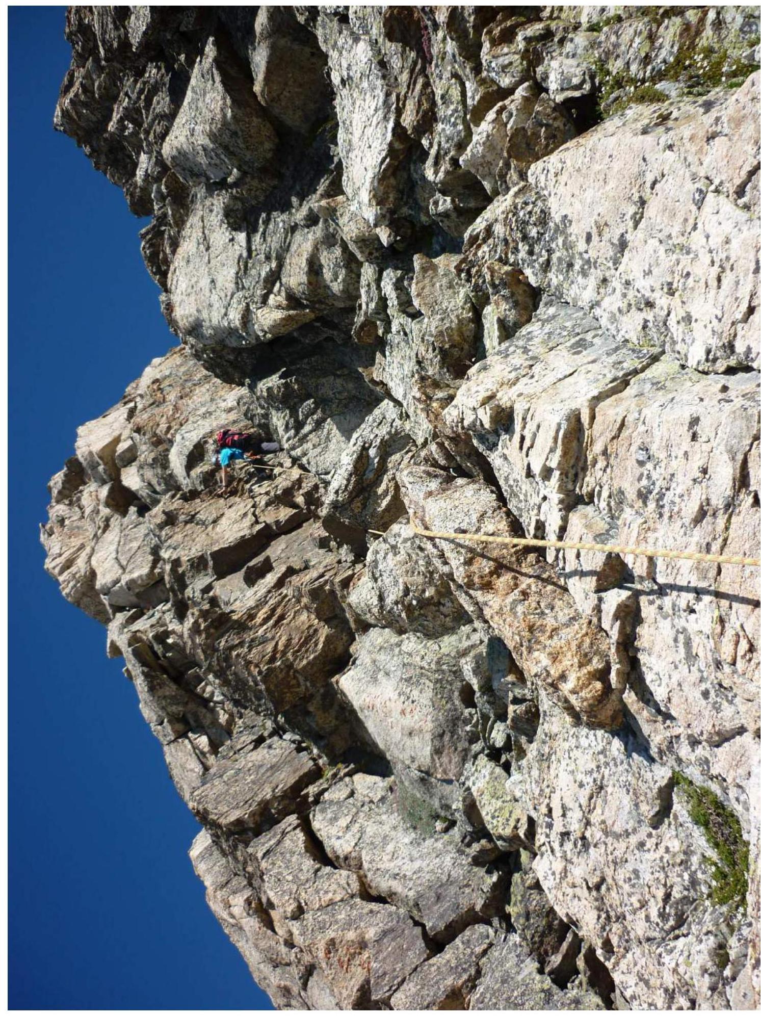
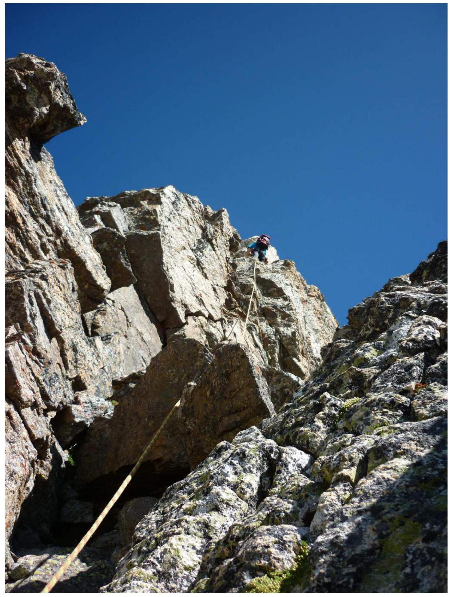
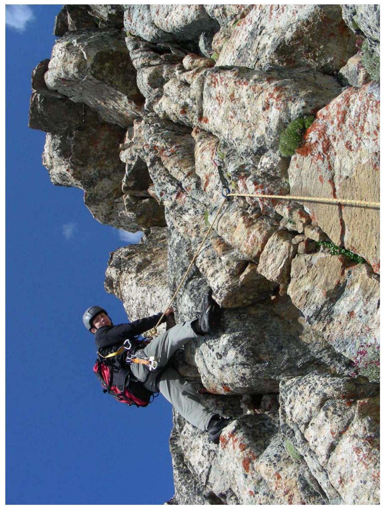
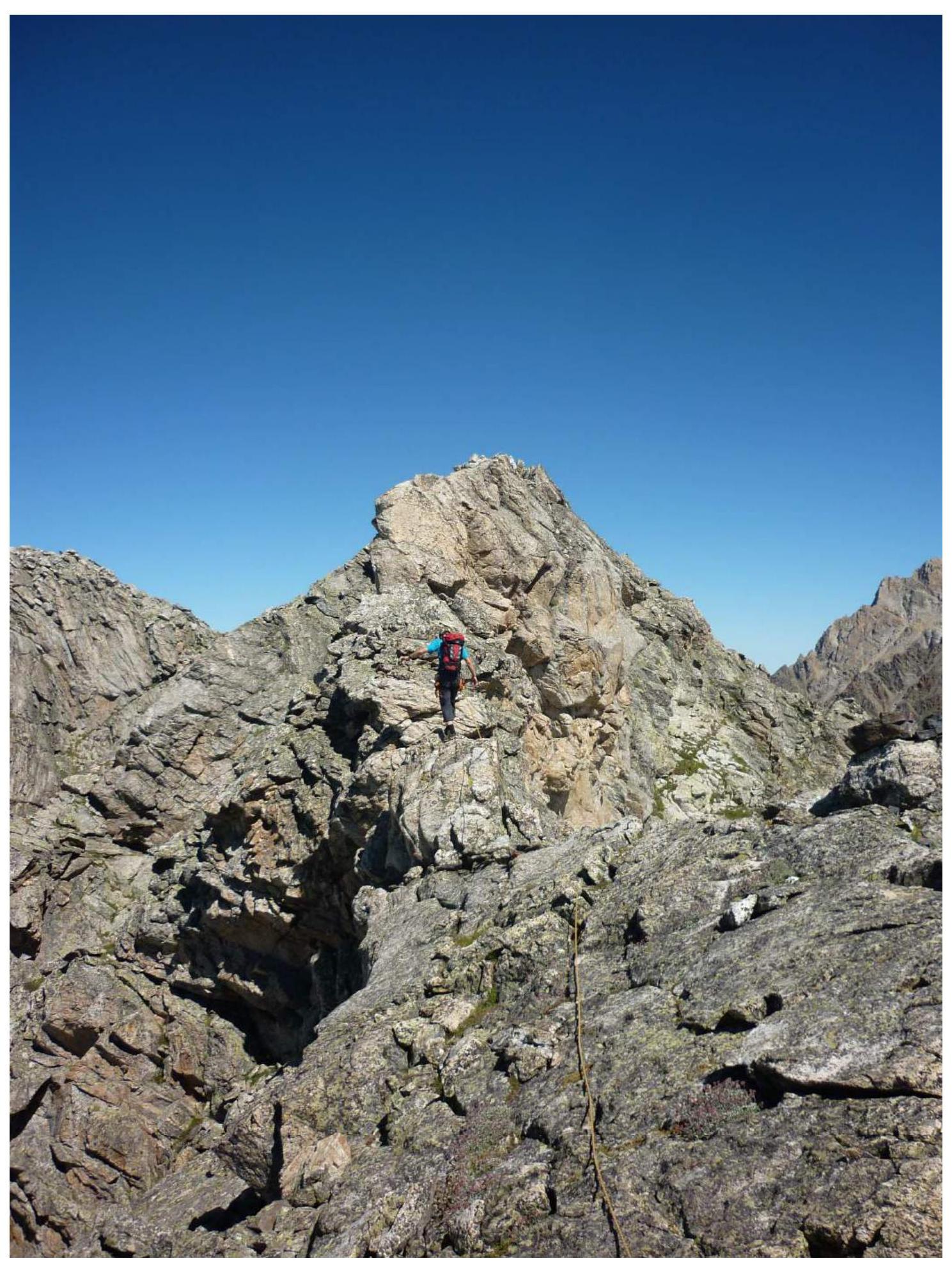
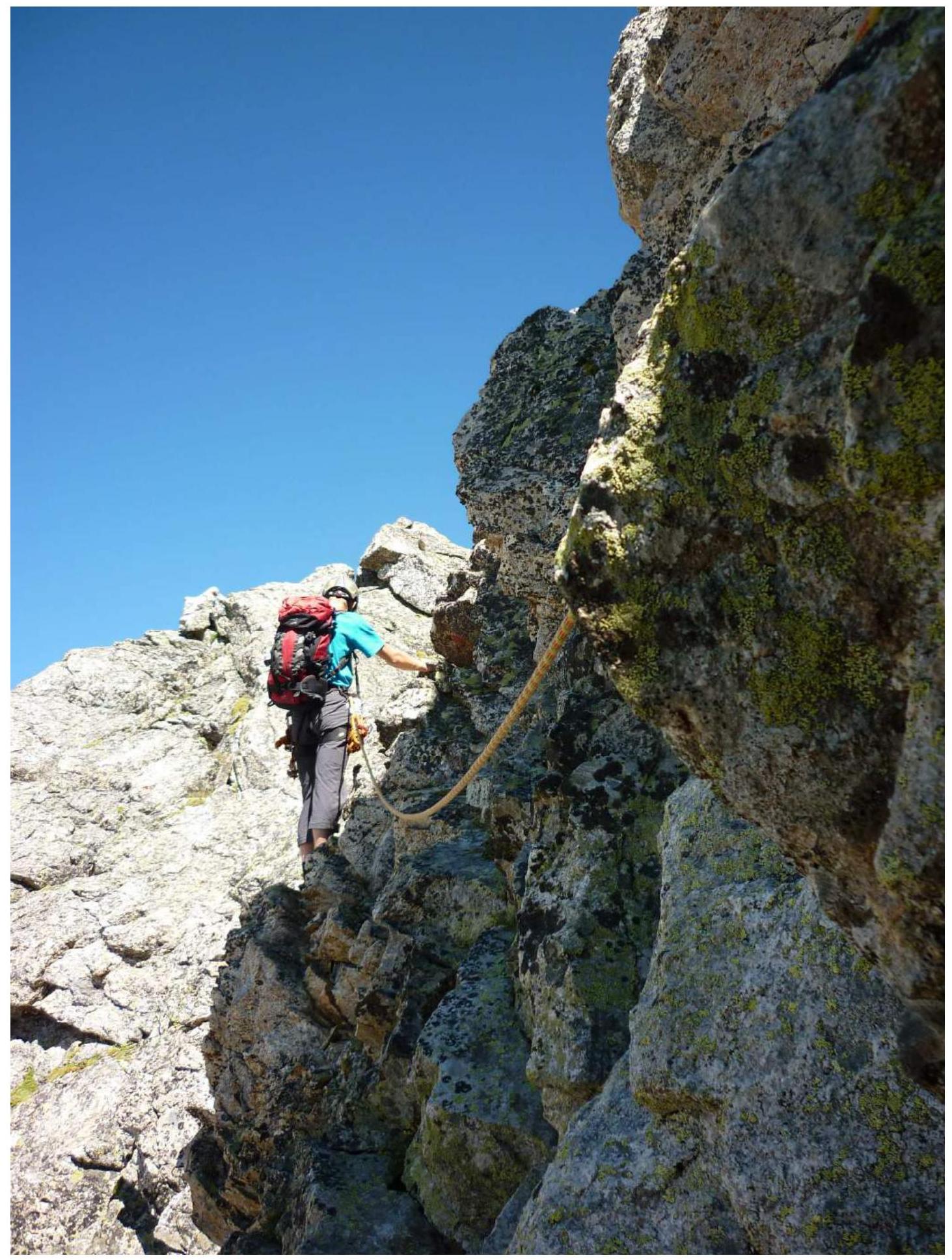
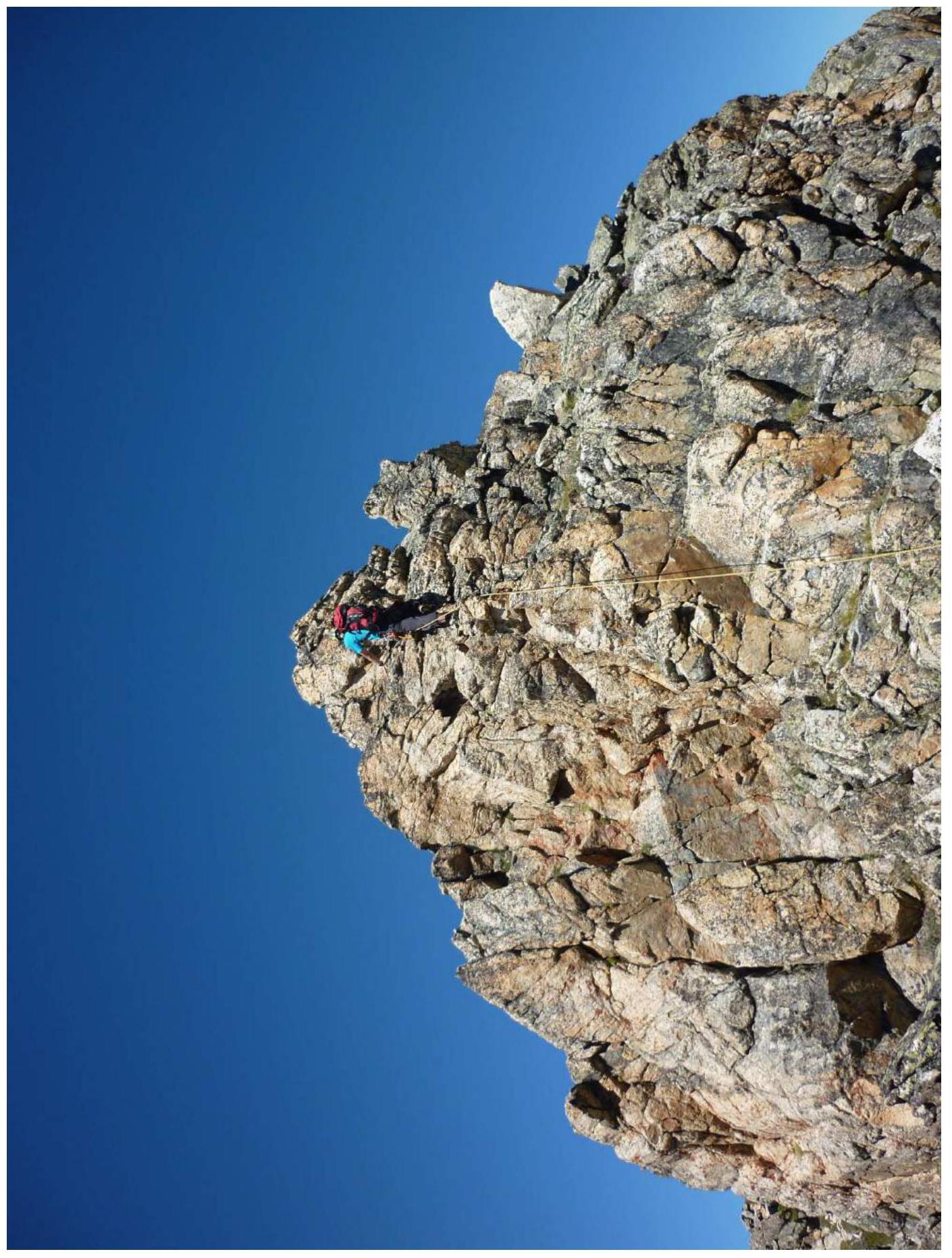
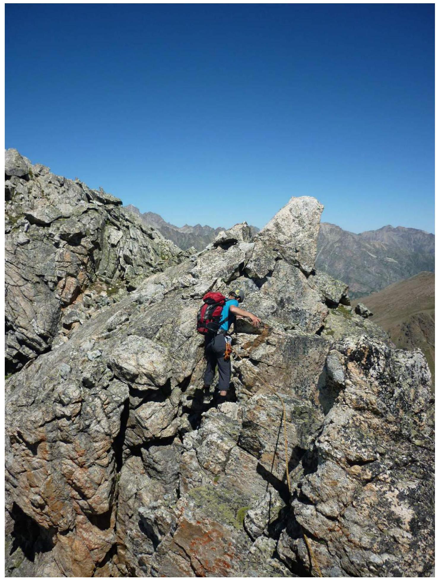
Photo Illustration of Route Sections
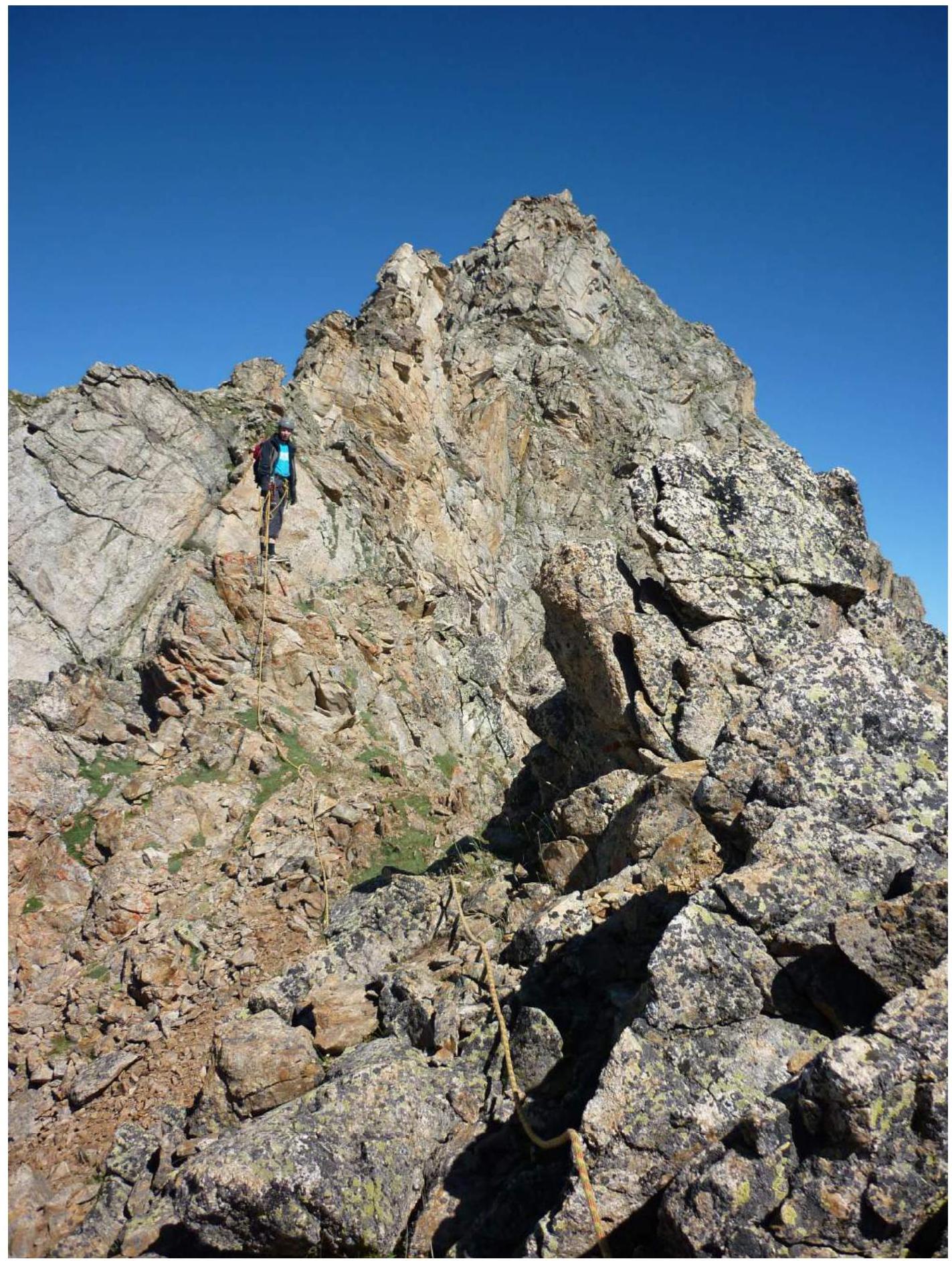
R1 — Destroyed ridge
R3 — Key section of the route
R4–R5 — First "guardian"
R4 — Control cairn
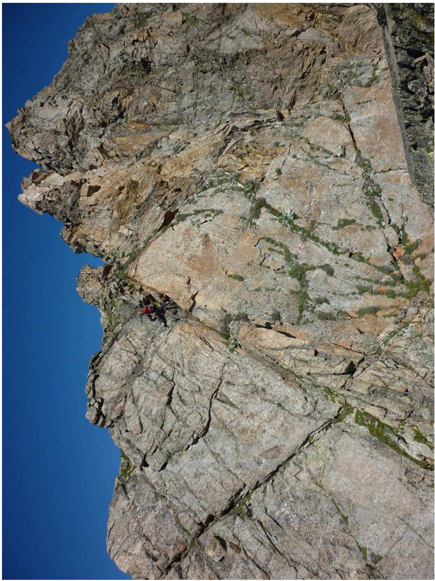
R6 — Second "guardian"
R7 — Ridge after the second "guardian"
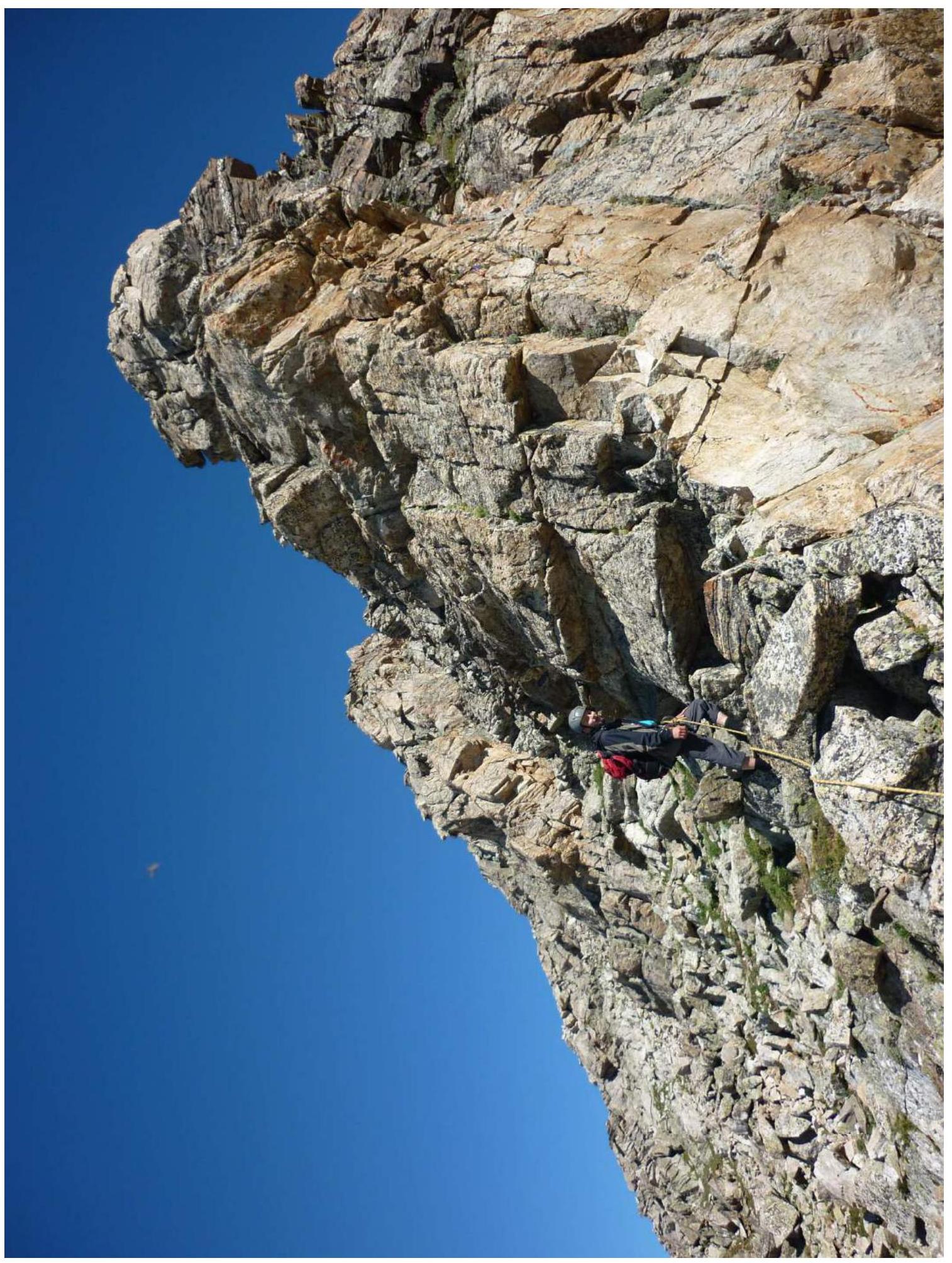
R8 — Chimney with a plug
R9 — "Feathers"
R11 — Sharp ridge

R12 — Descent into the gap
R12 — Traversing movement
R14 — 10-meter rib
R14 — Climbing in an "откидка" (hanging position)
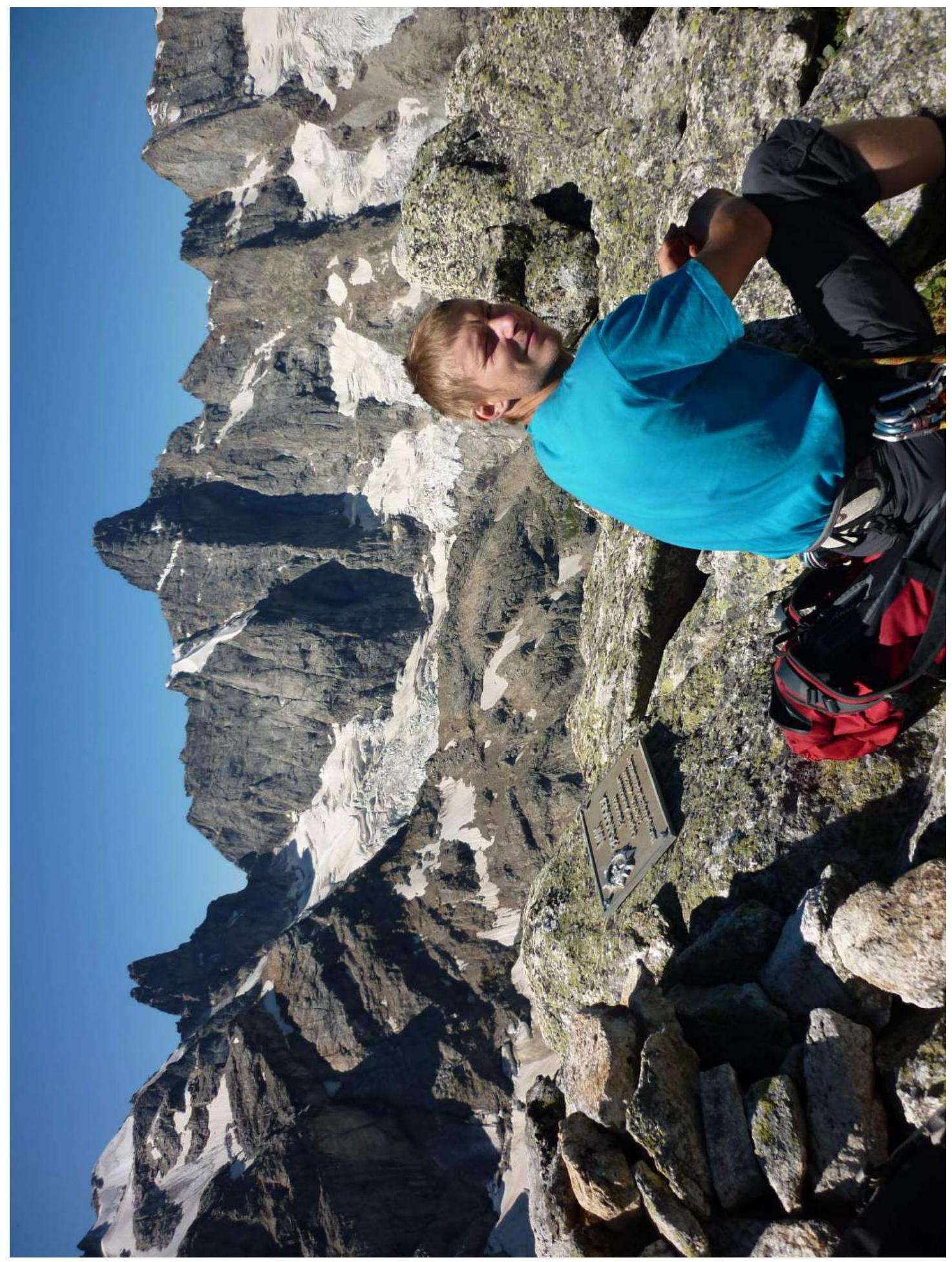
R15 — Photo at the summit
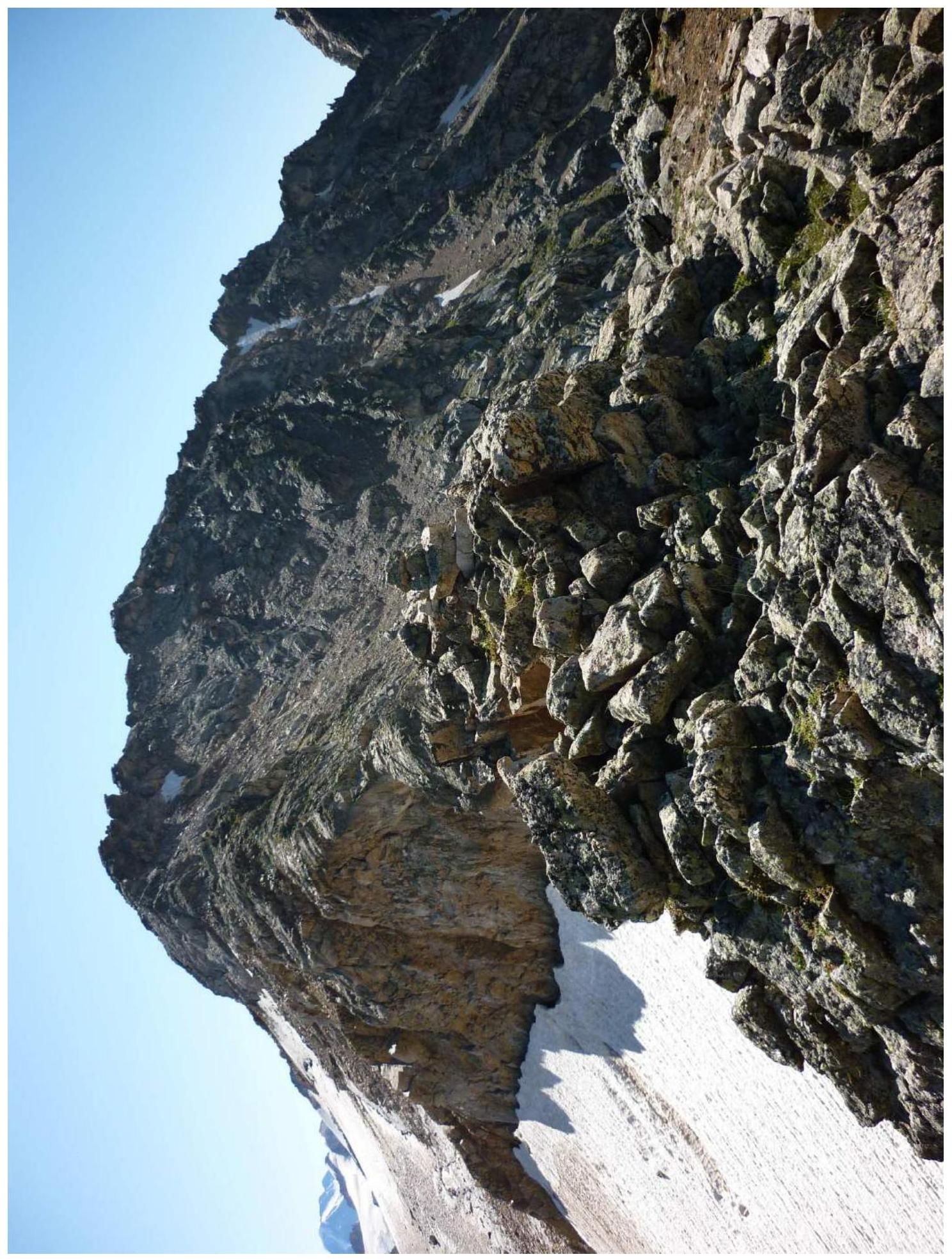
Panoramic Photo of the Area