
The website has been updated once again.
Cellular Coverage Map
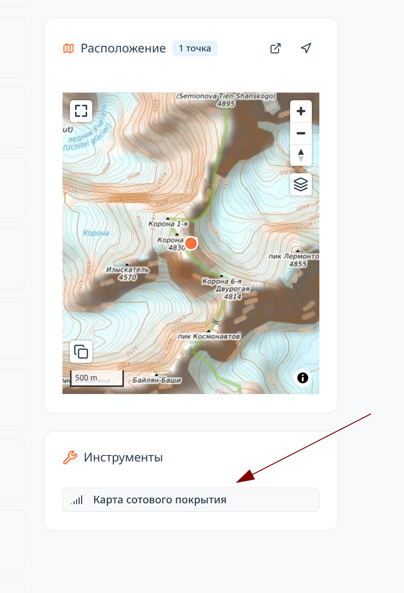
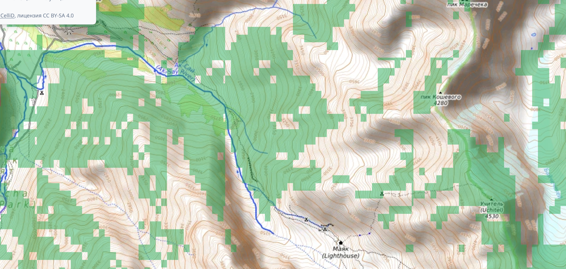
Communication in the mountains is very important. It is not only an opportunity to post photos from the route on social media, but also serious assistance in rescue operations. An experimental feature has been added to view an assessment of cellular network availability in the area. Unfortunately, there is no comprehensive database of cell towers in the world, so it is impossible to calculate coverage availability for the entire world. However, geodata moderators now have the ability to add cell towers to our database, which has made it possible to at least partially improve data coverage for the regions: Ala-Archa and neighboring Alamedin, Arshan in the Tunkinsky Goltsy, Khibiny, eastern Kodar, and the Elbrus area.
This is reference information. We are not responsible for data accuracy. But it would be great if we could gradually supplement the tower database and get a more accurate picture of coverage.
For the geeks, here's how it works: the idea is based on ray tracing. We have the tower coordinates, their approximate height, and terrain. Using this data, one can build a map of shadows from the towers. Well, everything that's not shadow—there's coverage there. Well, and of course there are limits to signal propagation. For different technologies these are completely different distances: 5G and 2G differ by more than an order of magnitude.
Refined Algorithm for Route and Section Difficulty Assessment
Further adjustments have been made to the recently added feature for calculating section difficulty. This automatically affected the calculated technical difficulty of all routes (T-scale). And of course the rating. Glacier ice and mixed terrain are now assessed more fairly. In addition, it is now possible to specify the slope angle of sections. Often this information is no less important than the technical difficulty rating.
Other Changes
- It's the 21st century now. So it's time to switch to infinite scrolling. It turned out to be really convenient!
- "Share" button for routes and peaks
- When printing an article or route description, all site layout elements are now removed. Only the article and nothing extraneous. This is convenient if you want to take a printed copy with you.
- Numerous small UX and design improvements.

Comments
Sign in to leave a comment