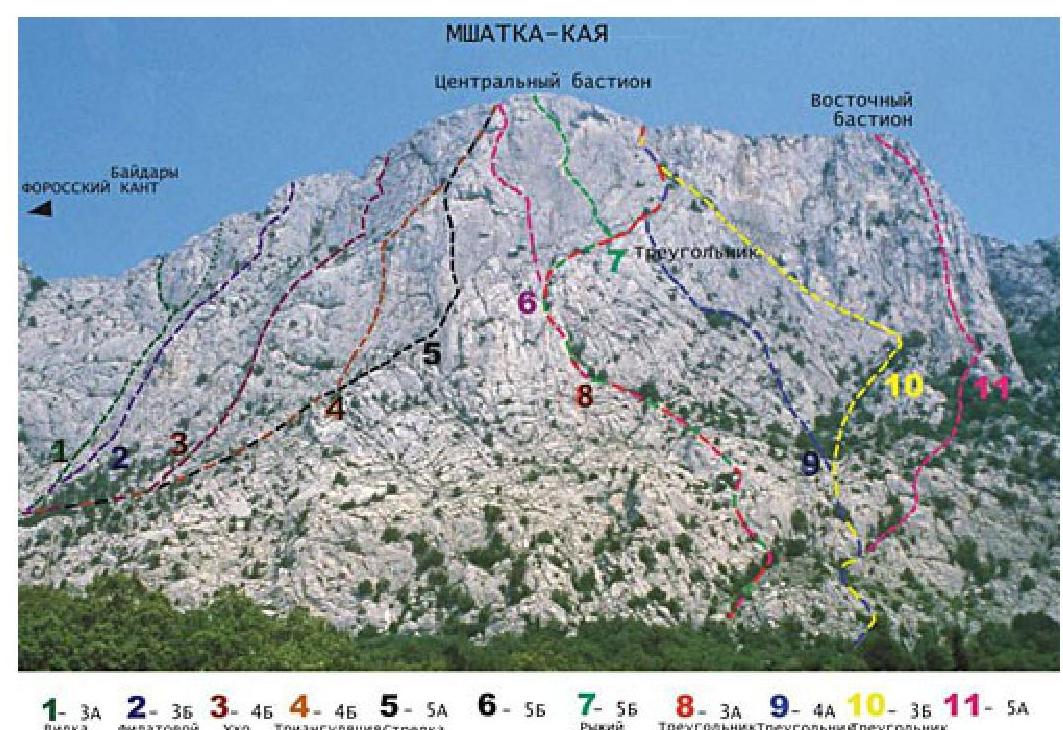
Mshatka — Kaya-3
Along the left inner corner of the western part of the massif («Fork»), 2B (200 m, III) (by K. Rybalko and V. Khitrikova, 1973)
The approaches to the route start from the upper highway 50 m below the alpinist parking located under the central part of the Foros Cant. Upwards and slightly left at first along the trail, and then along simple rocks to a wide vague inner corner, which "cut through" the entire wall of the massif (R0: 300 m, 45°, no cat.).
At the R1–R4 section — upwards first on the left along a 20-meter inner corner to a large trapezoidal ledge of the wall, and then along a sheer wall to a tree (R1–R4: 40 m, 65°, III+).
At the R2–R4 sections — first upwards along the smooth slabs of a wide inner corner to the base of a small groove washed out by water. From it, left and upwards along the walls to a small tree under the pre-summit tower. Here the route diverges and passes along the left or right inclined inner corners separating the pre-summit tower from the wall (R2–R4: 100 m, 60–70°, — III).
Left variant: Up and left along a long inclined left inner corner bypassing the tower. Then along the shelves and gentle slabs left and up to the yayla (R4–R5′: 40 m, 75°, III+; R5′–R6′: 40 m, 65°, –III; R6′–summit: 40 m, 65°, II).
Right variant: At the R4–R5″ section – along steep slabs to the right and upwards to a group of trees (R4–R5″: 40 m, 75°, +III).
At the R5″–R6″ section – upwards and to the right into a couloir turning into an inclined inner corner (R5″–R6″: 80 m, 65°, –III).
At the last section — upwards and to the right along the slabs to the exit to the yayla (R6–
summit: 40 m, 60°, II). The time taken to complete the route is 2–3 hours. The length of the
main part of the route is about 300 m.