Kalanykh-Kaya. 1.
"Oblom"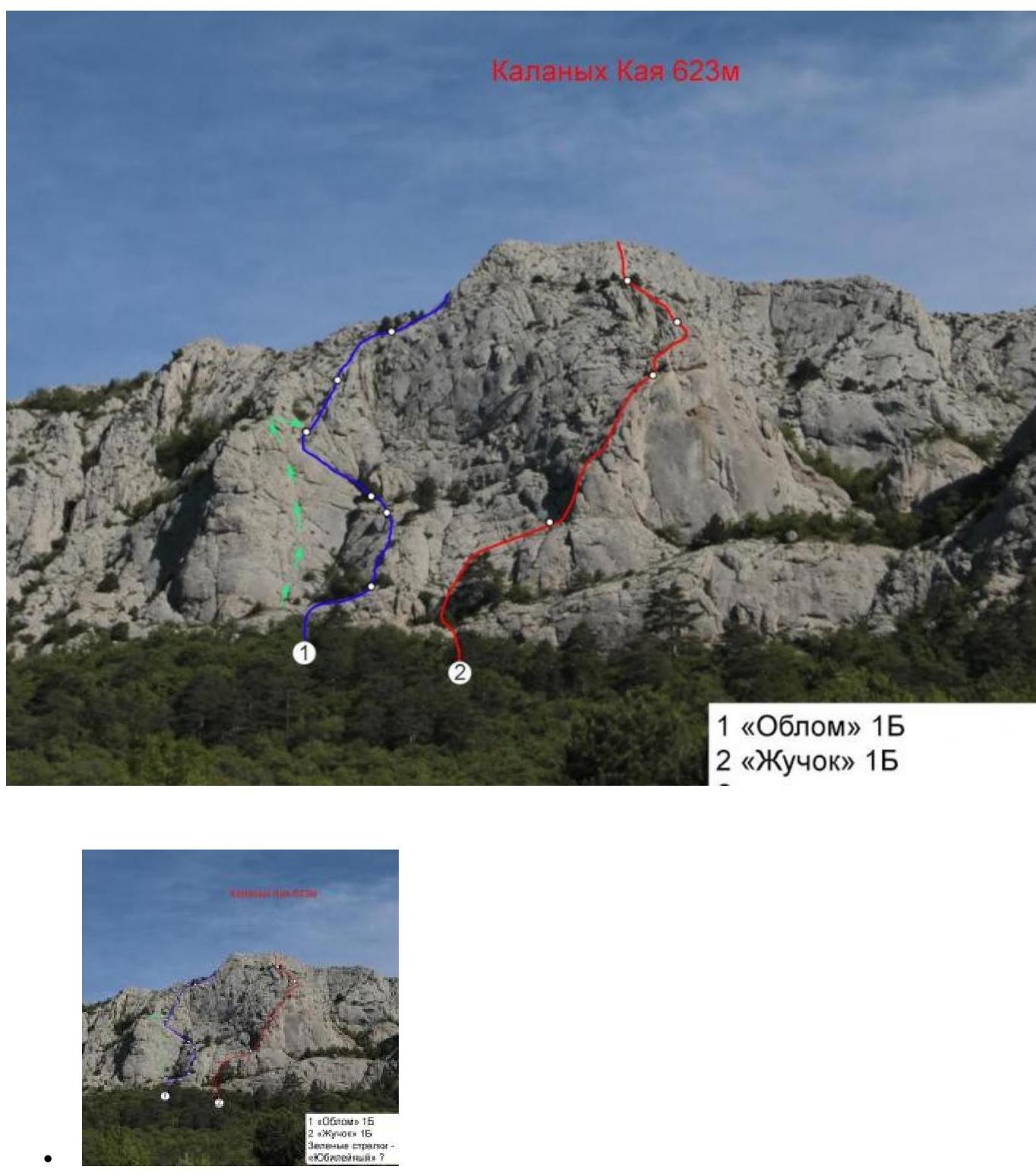
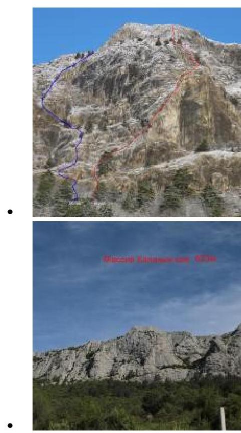
Massif: Kalanykh-Kaya (623 m) Map:

Difficulty: 1B Author: Lavrinenko A., Tsema E. Time to complete: 1–3 hours Route description:
- From the "Myth" restaurant parking lot, go right — up the asphalt road to a large clearing
- Across the clearing, up at 11 o'clock in the direction of the mountain
- Approach via terraces overgrown with forest, no clear trail
R1–R2: 60 m, I–n/k
- Via ledges and easy rocks, exit into a cirque, to the base of a weakly expressed counterfort
- Station on a tree
R2–R3: 60 m, I–II
Up the convex part of the counterfort, climbing is simple, the rock is generally monolithic, but there are "live" stones on the ledges. Station on a tree.
R2–R3: 20 m, I
From the tree up to a ledge, along the ledge left to the corner. Station on personal anchors.
R3–R4: 40 m, II
From the station, left up along a diagonal crack, exit to the base of the corner — a couloir. Up the couloir 10 m. Station on a bolt anchor "Yubileynyy".
R4–R5: 30 m, III+ From the station, right up 5 m, then up. Station on bolts.
R5–R6: 50 m 10 m III 40 m I–II From the station up, to a small chimney, climb the chimney and then up to the right, holding to the counterfort. Station on bolts.
R6–R7: 40 m, I From the station up via simple rocks, exit onto the yayla.
Descent:
- The simplest and fastest descent option — to Tylovoe village
- Straight down from the yayla
- Then through the forest, just 15 minutes.
If you need to return to YBC, move along the ridge to the east, cross the second peak of Kalanikh Kaya, descend into a large depression overgrown with forest, at the lowest point turn right and move down, no clear trail. From the exit point on the yayla to the Sevastopol-Yalta highway: 1 hour.