14
3A
Climbing Passport
- Climbing area: Dolomites (Italy), Val di Fassa, Sassolungo Massif
- Peak name: Grohmannspitze (3126 m) Route name: via South Ridge (Dimai route)
- Route difficulty category: approximately 3B
- Route type: rock climbing
- Route elevation gain: 500 m
Route length: 875 m
Section lengths:
- R1–R2 difficulty category: 515 m
- R3 difficulty category: 180 m
- R4 difficulty category: 180 m Average route slope: 46°
- Number of pitons and protection gear used: 30
- Team's total climbing time: 5.5 hours
- Team leader: Viktor Valeryevich Smirnov, Master of Sports
Team members:
- Evgeny Vadimovich Grigoryev, Candidate Master of Sports
- Leonid Nikolaevich Primak, 1st sports category
- Elena Nikolaevna Smirnova, 1st sports category
- Coach: Viktor Valeryevich Smirnov
- Departure for the route: July 26, 2004, 8:30 AM Reaching the summit: July 26, 2004, 2:00 PM Return to Base Camp: July 26, 2004, 6:30 PM
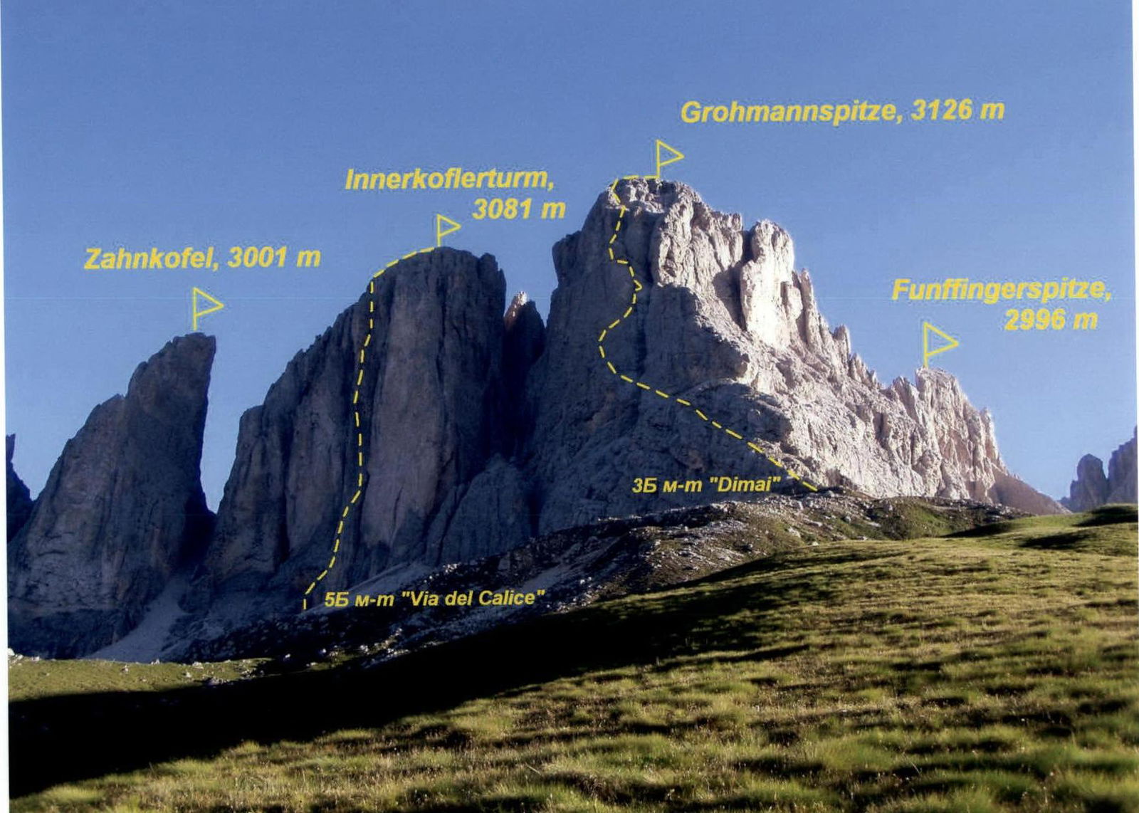
Fig. 1. General view of the Sassolungo massif from the south

Fig. 2. Route diagram in UIAA symbols
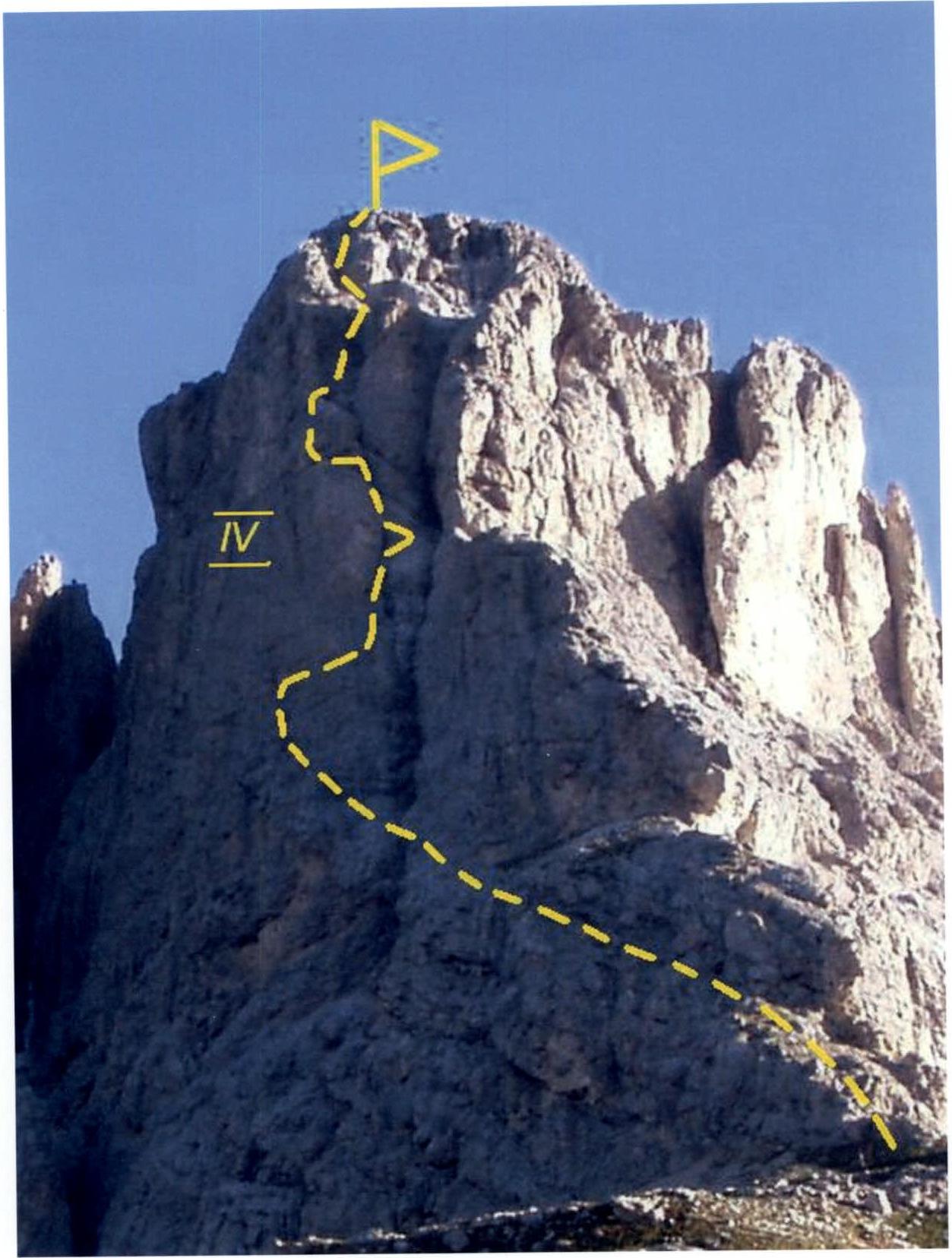
Fig. 3. Technical photograph of the route
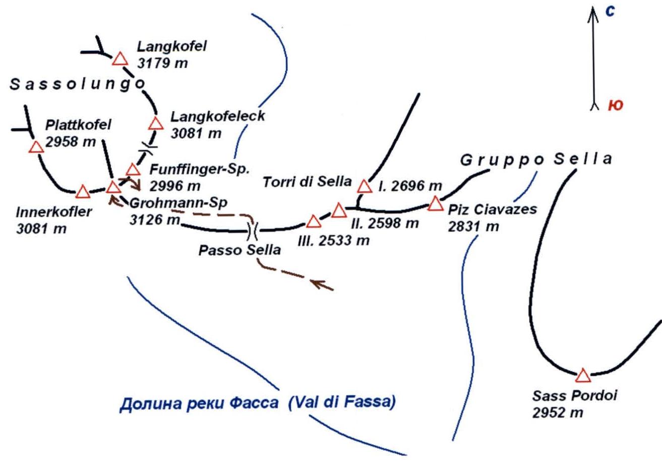
Fig. 4. Map of the climbing area
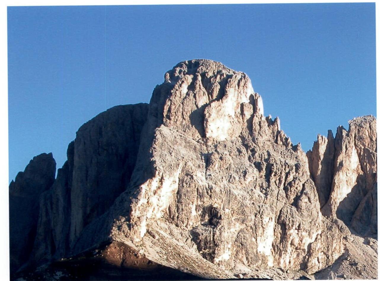
Fig. 5. Route profile from the right
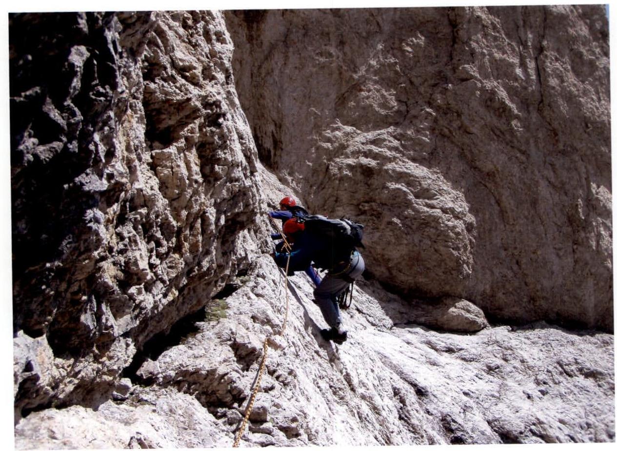
Fig. 6. Smirnov team passing the crux section.
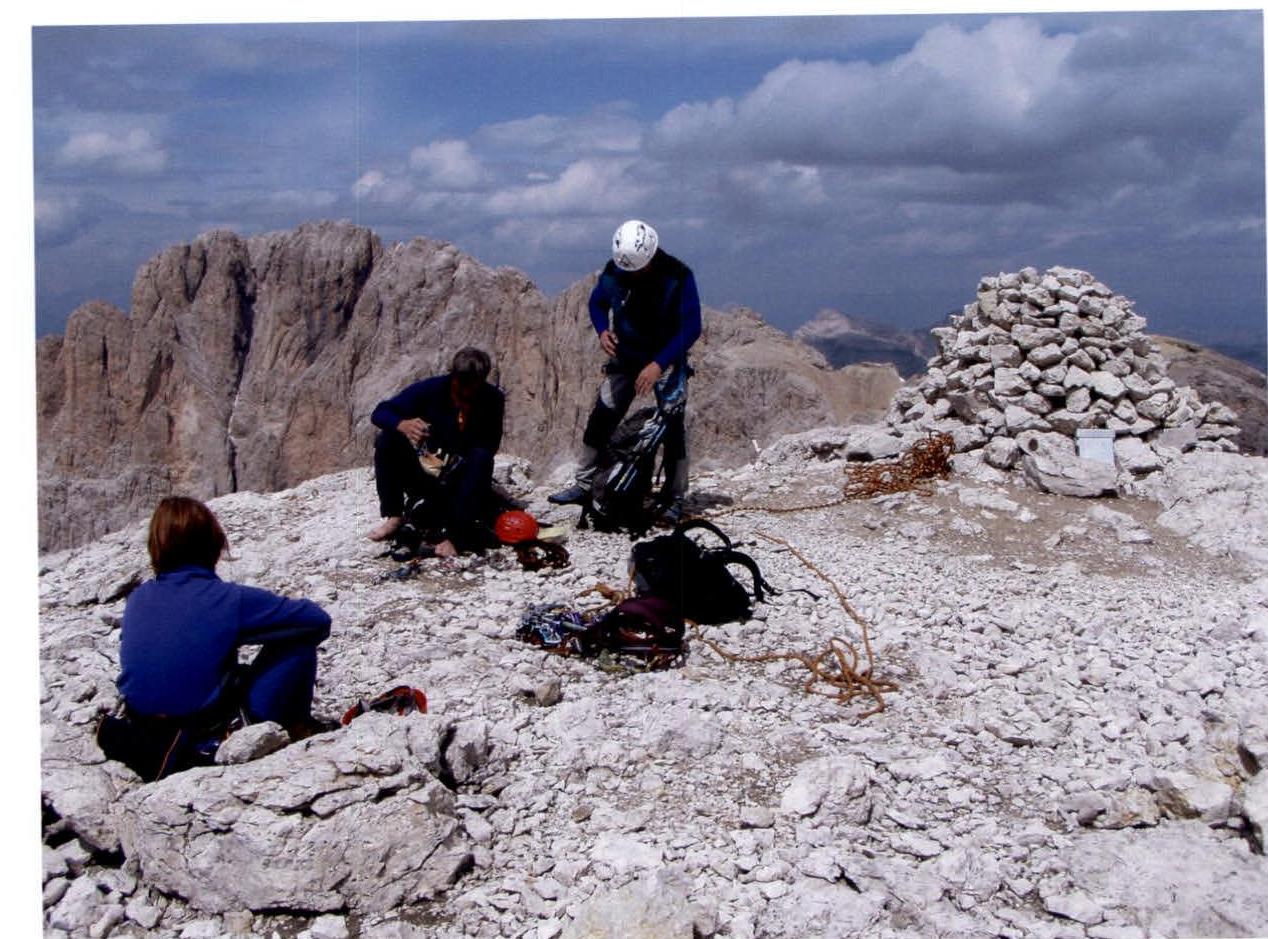
Fig. 7. On the summit of Grohmannspitze