PASSPORT
-
Region, gorge, section number according to KMGV-2001 — 10.1 (Mačerma gorge, Cho-Oyu region)
-
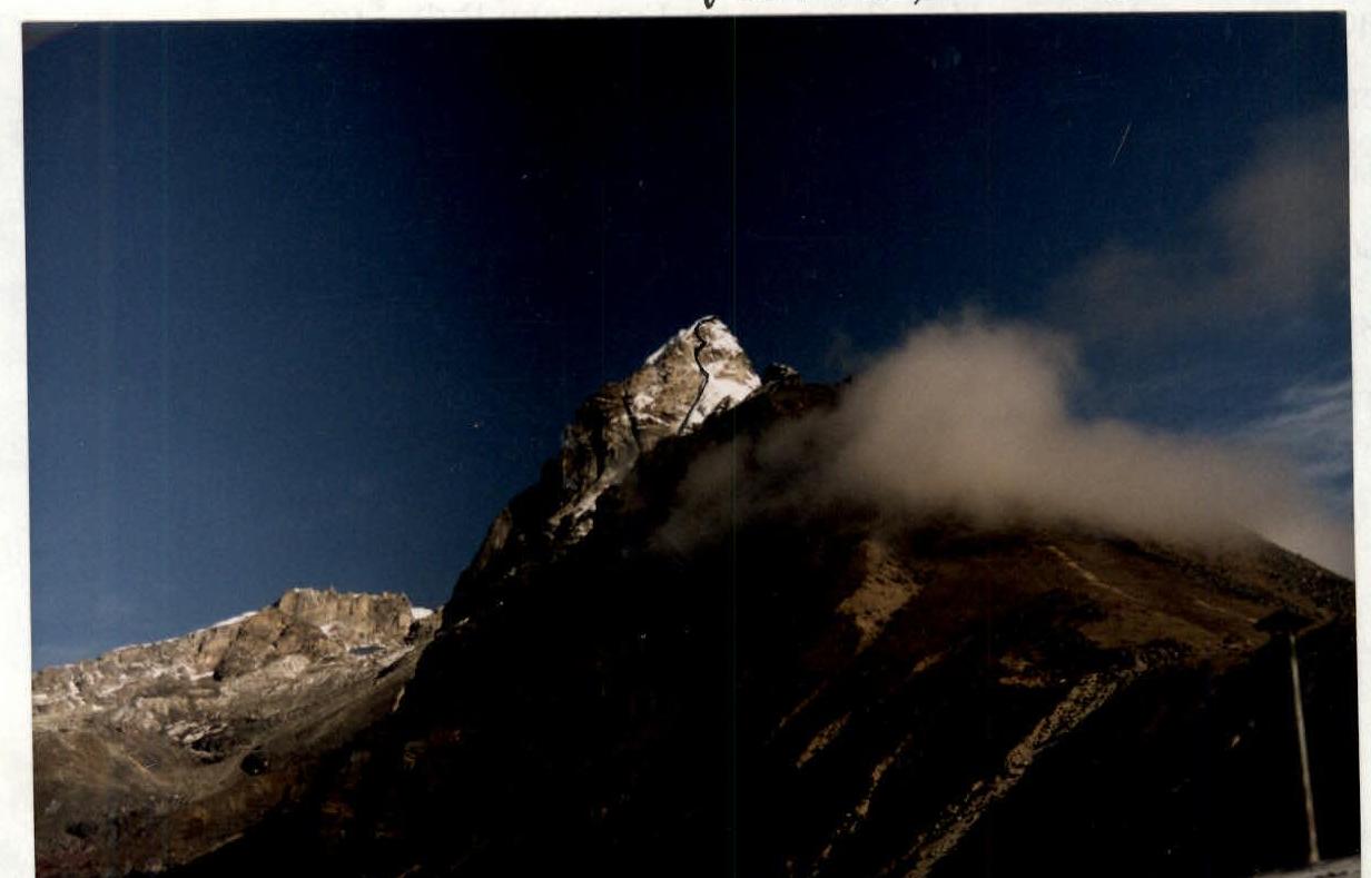
Name of the peak, its height, route name — Parilapcha, 6017 m, via 3rd slope
-
Proposed — 4A cat. diff., 2nd ascent
-
Character of the route — combined
-
Height difference of the route — 817 m (by altimeter)
Length of the route — 1350 m. Length of sections with 5 cat. diff. — 80 m (granite) Average steepness:
- main part of the route — 70°
- entire route — 45°
-
Pitons left on the route: total — 0; including bolted — 0
Total used on the route: rock anchors — 9, stoppers, etc. — 24 Pitons used:
- stationary bolted — 0, including ITO — 0
- removable bolted — 0
-
Team's climbing hours: 8 hours, 1 day from Base Camp (5200 m)
-
Leader: Shataev V.N. — Master of Sports; participants: Ashurly I. — 3rd sports category; Grakovich V.F. — Master of Sports
-
Coach: Shataev V.N., Honored Coach of the RSFSR
-
Departure to the route: May 22, 2003, 4:00
Summit ascent — May 22, 2003, 12:00. Return to Base Camp — May 22, 2003, 17:00
-
Organization — national team
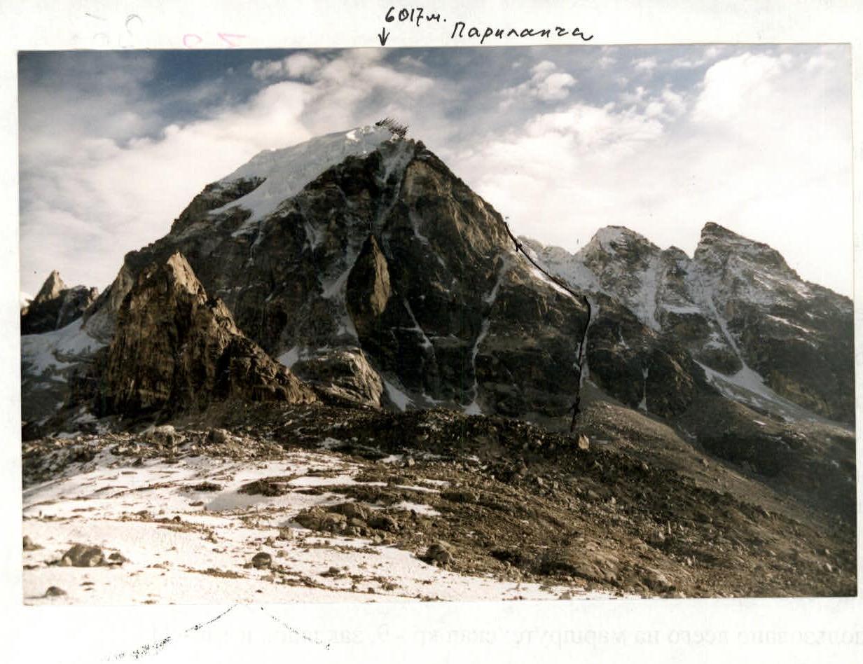 (1)
6017 m.
Parikašiga
(1)
6017 m.
Parikašiga