
Author: Timur Gainullin, Tyumen. Ascent to Ama Dablam peak (Himalayas) High-altitude Cup FSR 2013
Report
of the Tyumen Regional Alpine Federation team on the ascent to Ama Dablam peak (6812 m) via the Southwest ridge 5B, (k)
from May 14 to 19, 2013.
Coach: Gainullin T.T., CMS. Leader: Gainullin T.T., CMS
Participants:
- Karpenko A.A.
- Yablonskikh O.A.
- Ivanovsky P.
Table 11
Table 11.1
Ascent Passport.
-
Himalayas
-
Peak name: Ama Dablam, 6812 m
-
Route: Southwest ridge (classic)
-
Route type: combined
-
Height difference: 2500 m. Route length: 5000 m. Length of sections: V cat. sl. 300 m., Average steepness: main part of the route — 75° (6000–6500) total route 47°.
-
Pitons left on the route: total 15, including bolted 0. Pitons used on the route: 80, chocks: 115. Bolted pitons not used. Total artificial protection points (APP) used: 0
-
Team's total hours: 6 h
-
Leader: Gainullin Timur Talgatovich, CMS
Participants:
- Karpenko A.A., CMS
- Yablonskikh O.A., 1st sports rank
- Ivanovsky P., 1st sports rank
- Coach:
Gainullin Timur Talgatovich, CMS
- Departure to the route: 10:00 May 14, 2013.
Reached the summit: 13:30 May 18, 2013. Returned to Base Camp (Pangboche 4000 m): 20:00 May 19, 2013.
- Tyumen Regional Alpine Federation, CSP, Department of Sports and Youth Policy TO. Photo
of the route
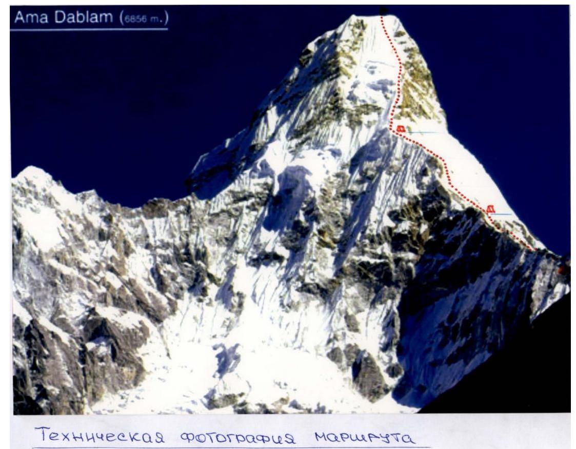

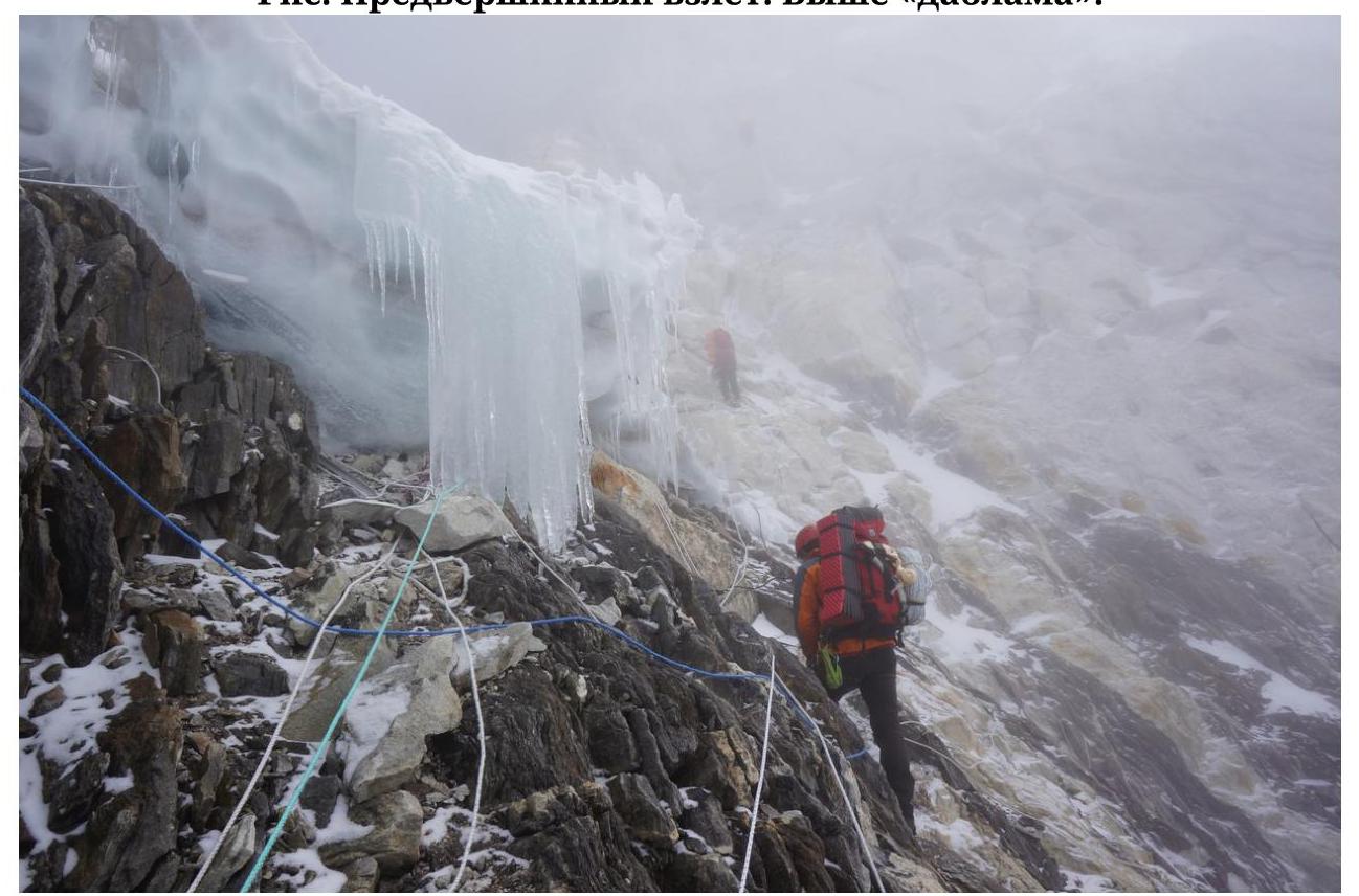
Fig. Pre-summit ascent. Above the "Dablam".
1995
1995

Fig. Rope to Camp 1 5800 m
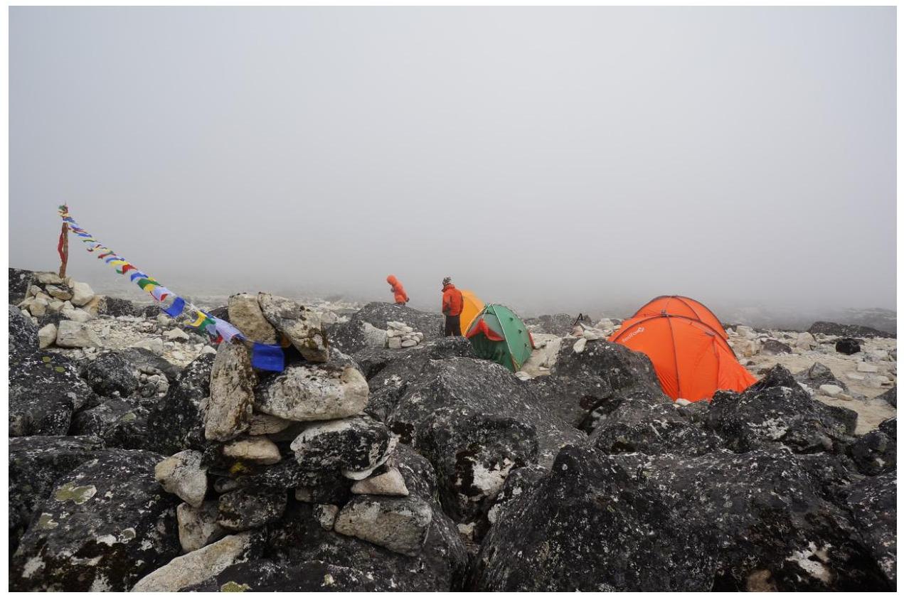
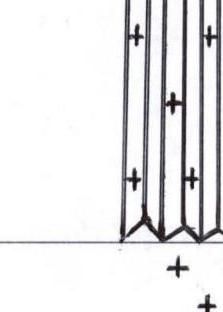
Fig. ABC 5400
m 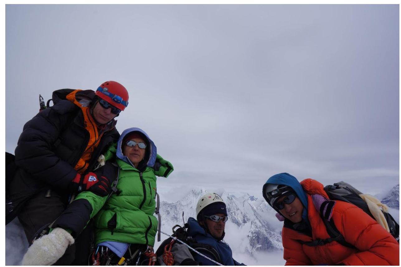
Fig. Team on the summit of Ama Dablam. Photo by Pavel Ivanovsky. May 18, 2013.
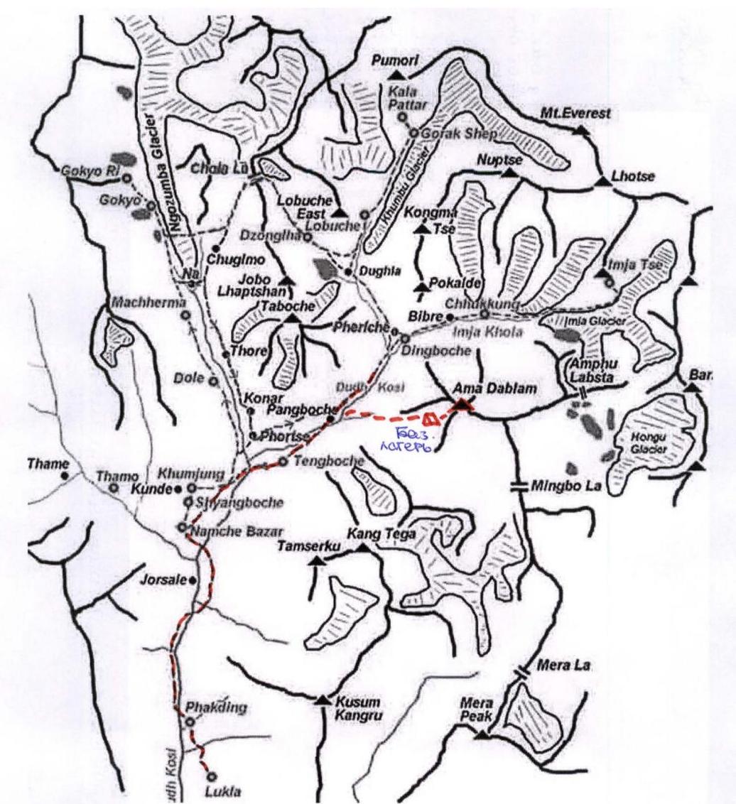
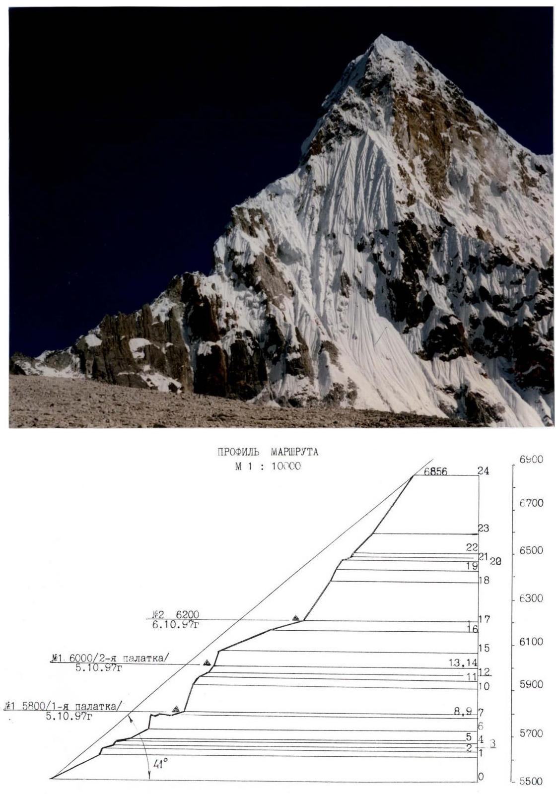
Fig. Route profile
on the right 
Fig. Photopanorama of the area SCHEME OF THE ROUTE IN SYMBOLS UNAA M 1 : 2000
-
-
sections not to scale
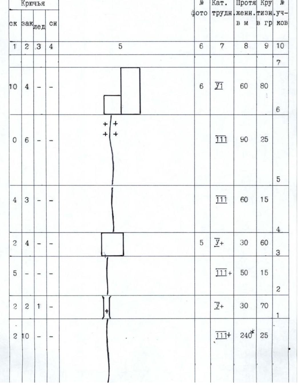
| 1 | 2 | 3 | 4 | 5 | 6 | 7 | 8 | 9 | 10 | | :--: | :--: | :--: | :--: | :--------------------------------------------------------------------------------------------------------------------------------------------------------: | :--: | :--: | :--: | :--: | :--: | | | | | | | | | | | 16 | | - | - | - | 8 |
 | | | | 240 | 22 |
| 2 | - | 4 | 2 |
| | | | 240 | 22 |
| 2 | - | 4 | 2 |  | | | | 70 | 68 |
| 4 | 3 | - | - |
| | | | 70 | 68 |
| 4 | 3 | - | - | 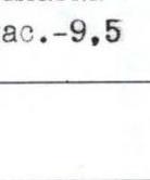 | | 8 | | 25* | 68 |
| - | - | - | 1 | Total hours — 9.5 | | | | 30 | 65 |
| - | - | - | - |
| | 8 | | 25* | 68 |
| - | - | - | 1 | Total hours — 9.5 | | | | 30 | 65 |
| - | - | - | - |  | | | 7 | 30 | 20 |
| - | - | - | 2 |
| | | 7 | 30 | 20 |
| - | - | - | 2 |  | | | 40 | 60 | 10 |
| 7 | 6 | 5 | - |
| | | 40 | 60 | 10 |
| 7 | 6 | 5 | - |  | | | 120 | 70 | 9 |
| 3 | - | 2 | 1 |
| | | 120 | 70 | 9 |
| 3 | - | 2 | 1 |  | 7 | | 40 | 70 | 8 |
| 3 | 3 | - | 1 |
| 7 | | 40 | 70 | 8 |
| 3 | 3 | - | 1 |  | | | 111 | 150® | 15 |
| -86- | | | | | | | | | |
| :--: | :--: | :--: | :--: | :--: | :--: | :--: | :--: | :--: | :--: |
| 1 | 2 | 3 | 4 | 5 | 6 | 7 | 8 | 9 | 10 |
| | | | | Total hours Summit (with processing) — 39. | 12 | | | | 24 |
| - | - | - | 18 |
| | | 111 | 150® | 15 |
| -86- | | | | | | | | | |
| :--: | :--: | :--: | :--: | :--: | :--: | :--: | :--: | :--: | :--: |
| 1 | 2 | 3 | 4 | 5 | 6 | 7 | 8 | 9 | 10 |
| | | | | Total hours Summit (with processing) — 39. | 12 | | | | 24 |
| - | - | - | 18 | 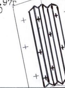 | 11 | Σ | 320® | 55 | 23 |
| - | - | - | 6 |
| 11 | Σ | 320® | 55 | 23 |
| - | - | - | 6 |  | | 12+ | 120® | 45 | 22 |
| - | - | 1 | 1 |
| | 12+ | 120® | 45 | 22 |
| - | - | 1 | 1 |  | | ∑+ | 25 | 62 | 21 |
| - | - | - | - |
| | ∑+ | 25 | 62 | 21 |
| - | - | - | - |  | | ∏ | 40 | 25 | 20 |
| - | - | 2 | 2 |
| | ∏ | 40 | 25 | 20 |
| - | - | 2 | 2 |  | | | ∑+ | 50 | 55 |
| - | - | 4 | 1 |
| | | ∑+ | 50 | 55 |
| - | - | 4 | 1 | 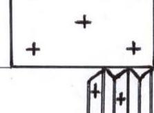 | | | ∑+ | 60 | 65 |
| - | - | 3 | 8 |
| | | ∑+ | 60 | 65 |
| - | - | 3 | 8 | 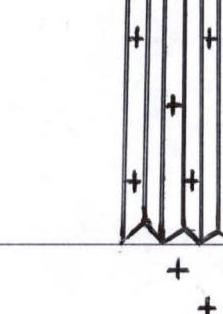 | 10 | ∑+ | 200® | 55 | 17 |
| - | - | - | - |
| 10 | ∑+ | 200® | 55 | 17 |
| - | - | - | - |  | | I | 150® | 15 | 16 |
Description of the route by sections
-
Cargo delivery was carried out under the route with the help of yaks and by the participants themselves. Equipment was carried from Lukla 2800 m to Pangboche 4000 m — Ama Dablam Base Camp, to reduce the cost of the permit. The delivery was made directly to 5400 m in High camp.
After passing the Pangboche settlement — turn right, cross the river and 3 hours to a flat grassy meadow near Mingbo. This is the Ama Dablam Base Camp.
Approach to the route is along a wide grassy ridge to the right of the Mingbo glacier, which leads to the SW ridge of Ama Dablam. Up the small and medium scree on the eastern slope to 5500 m — this is ABC or High camp. From BC it takes approximately 4–5 hours.
Table of the team's movement by days
| № | Height | Place name | Date |
|---|---|---|---|
| 1 | 4000-5400 | BC — ABC | 14 / 05 / 13 |
| 2 | 5400-5800 | ABC — Camp 1 | 15 / 05 / 13 |
| 3 | 5800-6020 | Camp 1 — Camp 2 | 16 / 05 / 13 |
| 4 | 6020-6300 | Camp 2 — Camp 3 | 17.05 .03 |
| 5 | 6300-6856 | Camp 3 — summit Ama-Dablam | 18 / 05 / 13 |
| 6 | 6300-4000 | Camp 3 — BC | 19 / 05 / 13 |
During the ascent days from 14.05 to 19.05 there was no weather. There was snow and fog. Evenings the weather improved, but in the morning it worsened again.
The temperature on the day of the summit was approximately −15°C to −20°C.
Some perils on the route were duplicated, for this 400 m of rope was taken, and the following were used:
- snow pitons,
- rock pitons,
- ice pitons.
Above the third camp, the ropes were hung by the team independently, as this year no one reached the summit before us due to bad weather and, possibly, lack of equipment for route preparation.
Spring 2013 was low in snow, in that the entire summit area was covered in ice, and all the ropes were buried.
The team faced a difficulty — lack of water, as per photos and descriptions starting from ABC — snow is melted everywhere, in our case there was no snow, and we didn't bring water. We looked for old snow in the shade, collecting it in bags grain by grain. This continued until the second camp.
Description of the route by sections
Section 0–1 Ridge. Snowy sections alternate with rocky walls, slabs.
Section 1–2 Glaciated chimney, leading to the top of the 1st gendarme. Section 2–3
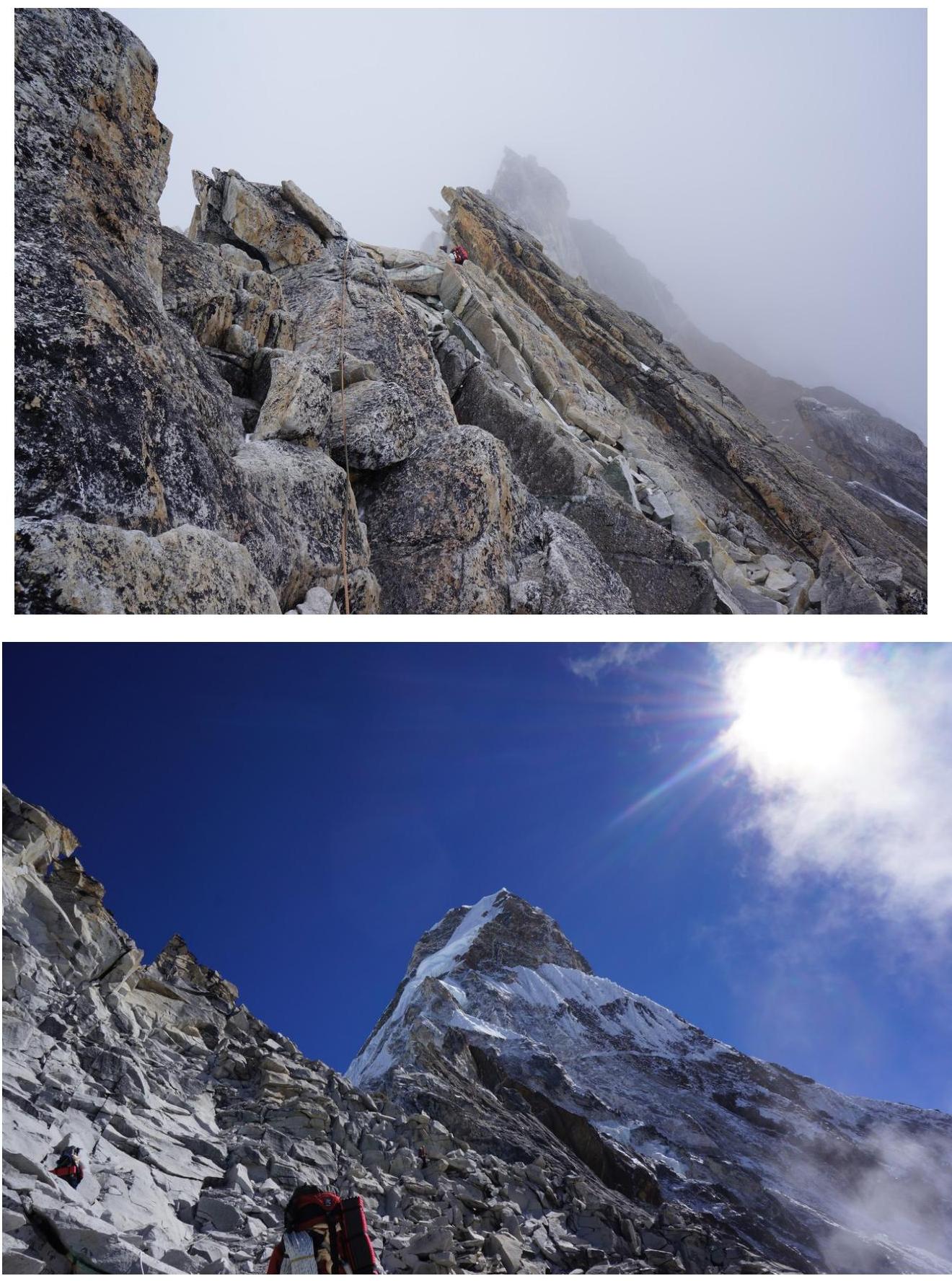
Ridge between the 1st and 2nd gendarmes. Section 3–4 Rocky wall on the right (by the route)
side of the ridge Photo 5. Section 4–5 Ridge between the 2nd and 3rd gendarmes. Section
5–6 Easy ridge, ending in a rocky bastion. Section 6–7 Rocky
bastion. Movement in the lower part — left up, right and straight up. In the upper
part — small relief (Photo 6). Section 7–8 Combined ridge to the second
bastion. Here is the first night's bivouac for one tent, the second tent is on section
13–14. Section 8–9 Traverse right at the base of the overhanging grey wall with a
fissure (Photo 7). Section 9–10 Bypass of the overhanging wall on the right along glaciated
rocks (Photo 7). Section 10–11 Steep snowy ridge, leading to the plateau
of the bastion (Photo 7). Section 11–12 Knife-edge ridge — a bridge to the shoulder of the bastion
(Photo 7). Section 12–13 Steep ascent of the bridge to the foot of the Upper Step
of the bastion. Section 13–14 Traverse left along the border between rocks and firn. Here is the second
tent's bivouac (Photo 8). Section 14–15 Bypass of the Upper Step rocks
of the bastion along ice, firn (Photo 9). Section 15–16 Knife-edge ridge — top of the 2nd
bastion. On the ridge there are small but numerous cornices, snowy "mushrooms".
Balancing on the sharp ridge (ice axe helps little), danger of cornices or snowy "mushrooms" collapse
physically and psychologically exhausting. Section
16–17 "Cushion" — the upper part of the hanging glacier, the only place on
the route not requiring mutual protection. Section 17–18 "Christmas tree" snow —
characteristic for the Himalayas steep snowy relief, representing an alternation
of snowy ridges and gullies, arising on a rocky wall. Snow condition —
coarse-grained, poorly compacting. Snowy ridges are often tortuous, their
top can overhang. When moving along such snowy ridges
the term "climbing" is applicable — as on rocks or ice. Protection is difficult. For
protection, firn pitons, ice axes and their combinations were used (Photo 10).
NOTE: here and below under the term "Christmas tree snow" understand the described
form of mountain relief. Sections 18–19, 19–20 Ice slope — the lateral part of the upper
hanging glacier. Section 20–21 Gentle snowy slope in the upper part of the
hanging glacier. Section 21–22 Bergschrund, hindering the ascent to the
ridge 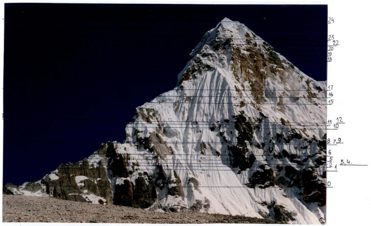 □
□
Comments
Sign in to leave a comment