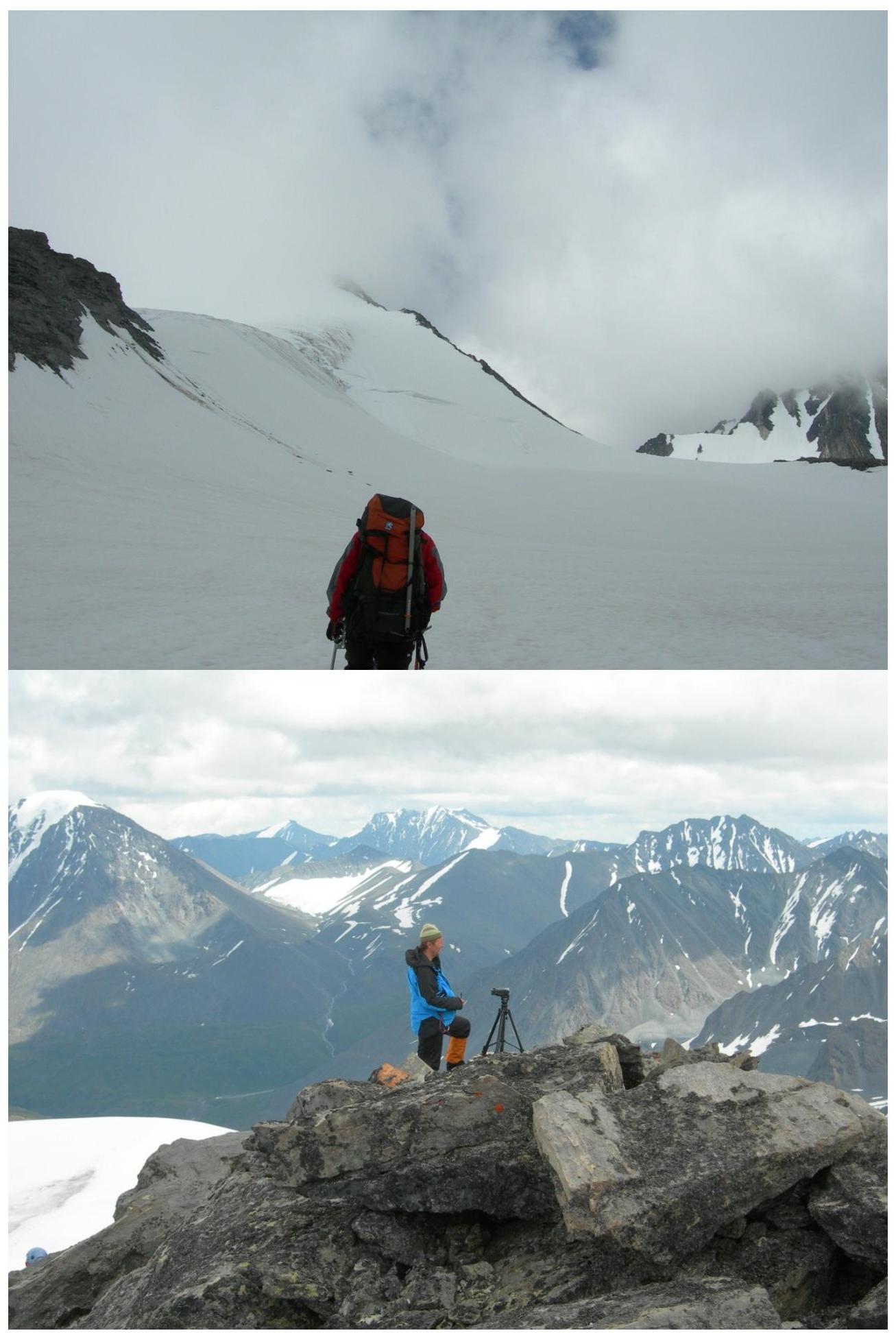
Technical photography of the route
 □
□
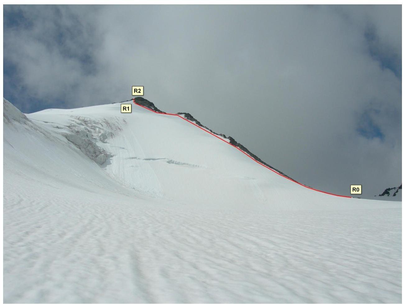
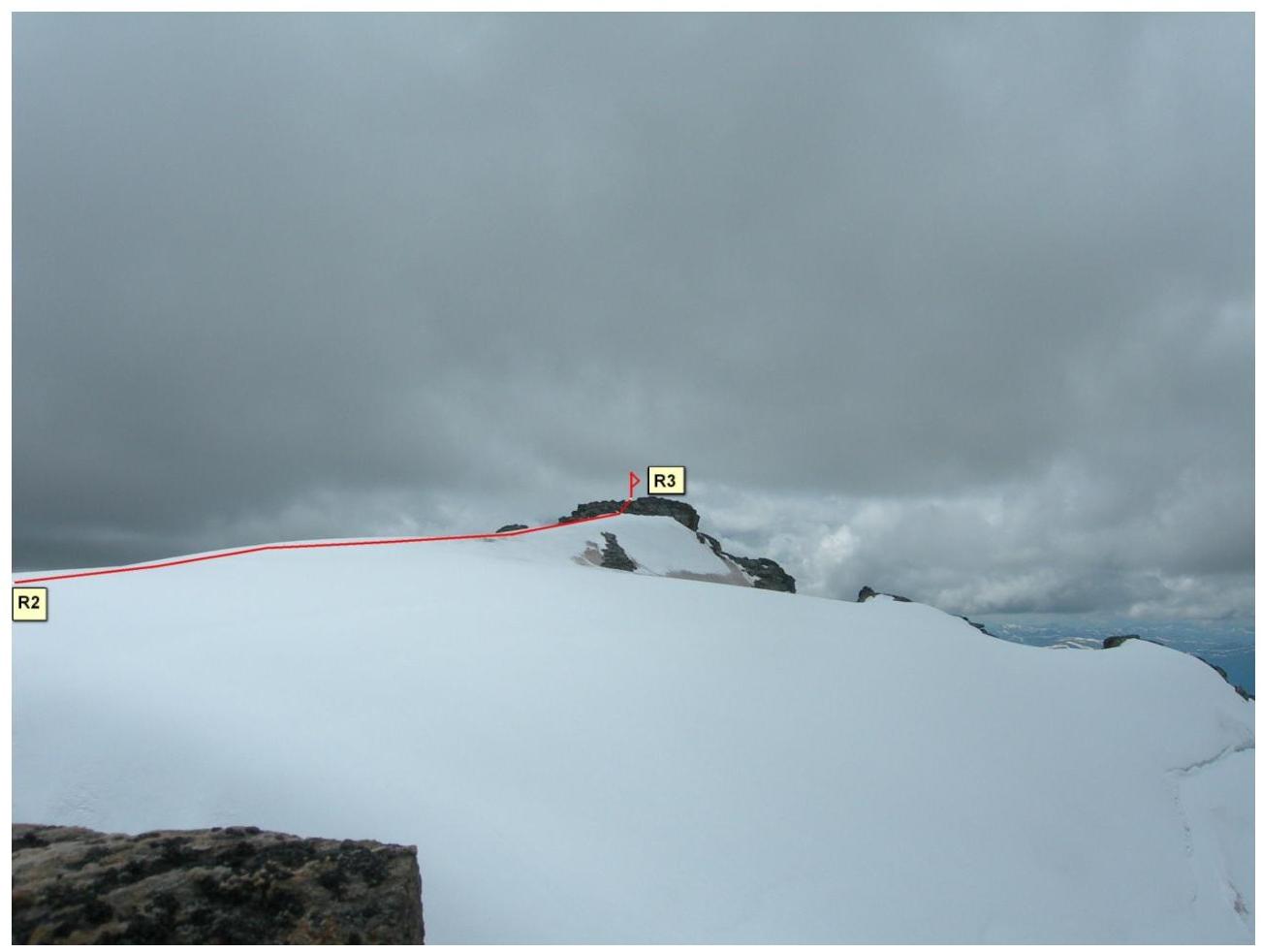
Route description
R0–R1. The route begins from a small hut located at the foot of the ridge. Movement is along the snowy slope along the ridge on the right (orographically) below the rock outcrops, in the direction of a large rock ledge. Movement with alternating belay, through ice screws (under the snow — sections of ice). 770 m. 45° II.
R1–R2. The rocky ledge of the ridge is bypassed on the right (orographically), exit to the icy slope leading to the crest of the North ridge. Movement with alternating belay, through ice screws. 50 m. III.
R2–R3. Further — along the gentle snowy ridge in the direction of the summit (exit of destroyed rocks). Simultaneous movement. 250 m. I.
Photo illustration of the report
 □
□