Passport
I. Rock class 2. Tian-Shan, Kyrgyz Ala-Too, Ala-Archa gorge 3. Boks peak via the edge of the northern wall 4. Assumed 5B category of difficulty, third ascent 5. Height difference 600 m, length 850 m 6. Length of sections with 6A–6B category of difficulty — 90 m sections with 5B category of difficulty — 330 m. Average steepness of the main part 74° 7. Pitons left on the route — 0 Previously driven pitons used and not removed — 2 8. Team's climbing hours — 19 hours 9. No overnight stays on the route. 10. Team leader: Tabachikov A.A. Candidate Master of Sports Team members: * Korobov P.V. * Mramornov K.V. * Tokarev S.V. * Pylkov A.V. Candidate Master of Sports II. Coach: Kozhemyako Nikolai Grigorievich Master of Sports 1st category. 12. Approach to the route: August 14, 1992 — preparation summit August 15, 1992 descent August 15, 1992 13. Organization SKA-18 — as part of the Championship of the CIS Armed Forces
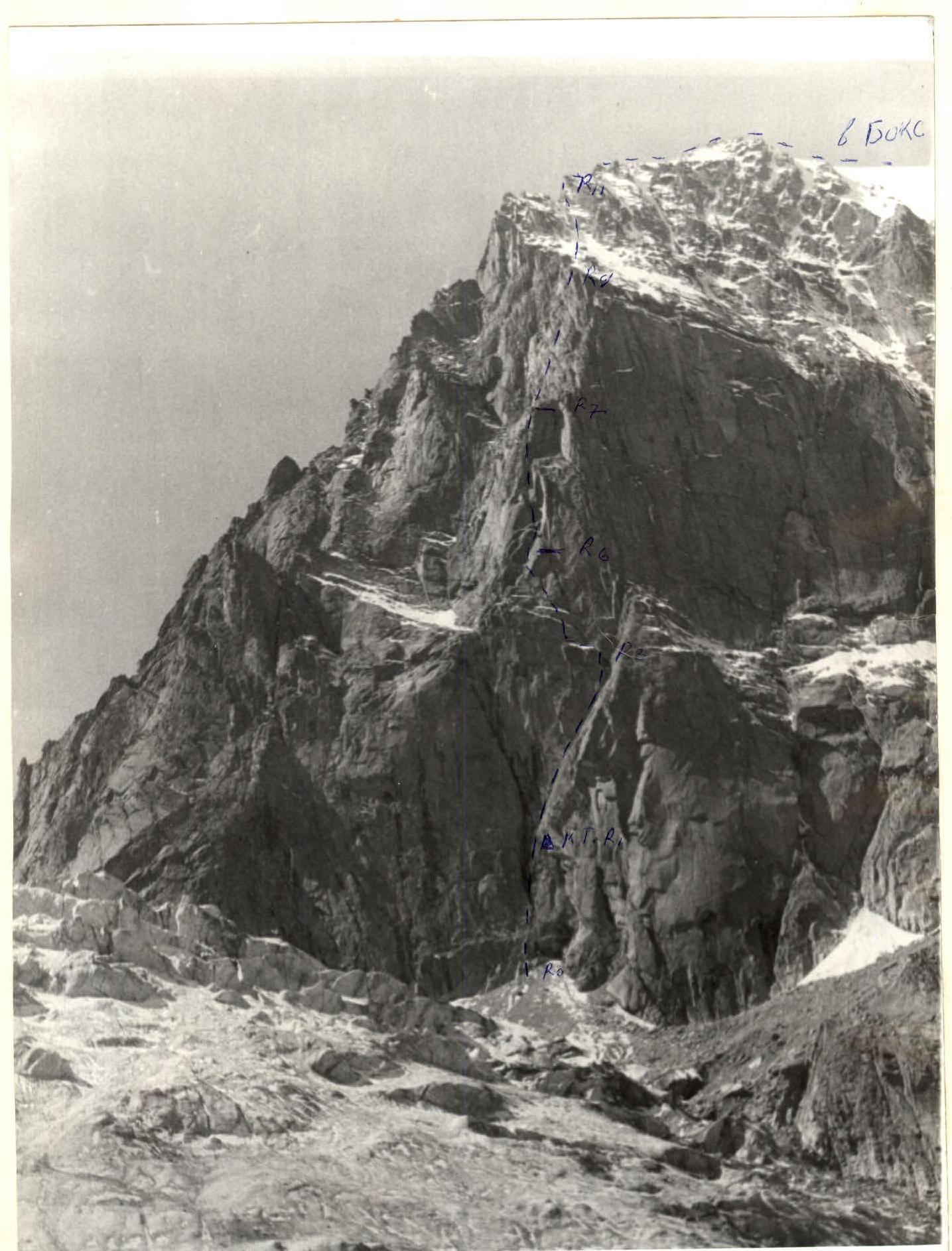
Photo from the middle of the step and the glacier
| Section | Diagram according to UPAD | Length in meters | Steepness | K/Tr | Driven SK pitons | Forgotten pitons | Placement elements |
|---|---|---|---|---|---|---|---|
| R12 | /\ | 30 | 40° | III | - | 2 | - |
| R11 | — | 100 | 40° | III | - | - | - |
| R10 | . | . | 180 | 40° | IV | - | 12 |
| R9 | 45 | 60° | IV | - | |||
| R8 | 45 | 75° | V+ | 4 | |||
| R7 | 35 | 60° | V | 1 | |||
| R6 | 45 | 85° | V+ | 4 | |||
| R5 | Л | 45 | 75° | V | 2 | - | 10 |
| R4 | 20 | 70° | V | 3 | |||
| R3 | traverse ++++ | 80 | 20° | II | - | - | - |
| R2 | Л | 140 | 75° | V | 10 | - | 15 |
| R1 | ДКТ | 40 | 95° | VIA₂ | 8 | - | 9 |
| R0 | /\ | 70 | 70° | V+ | 5 | - | 10 |
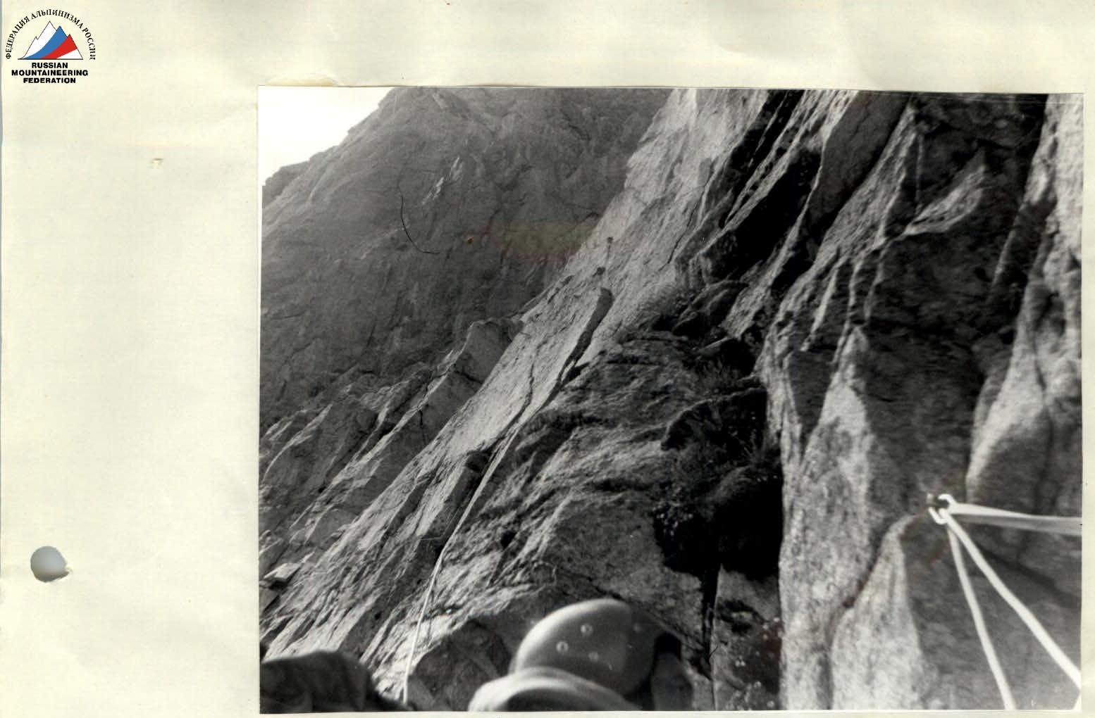
Description of sections
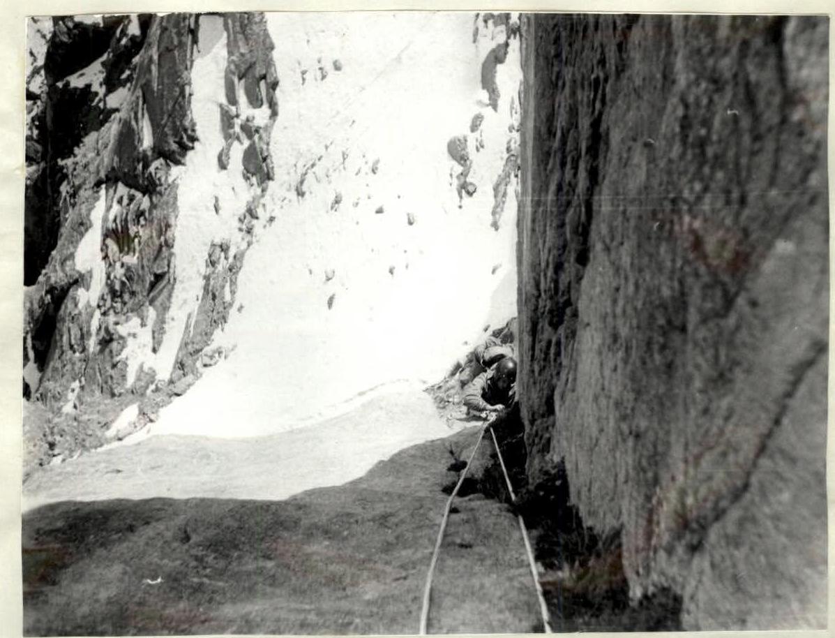
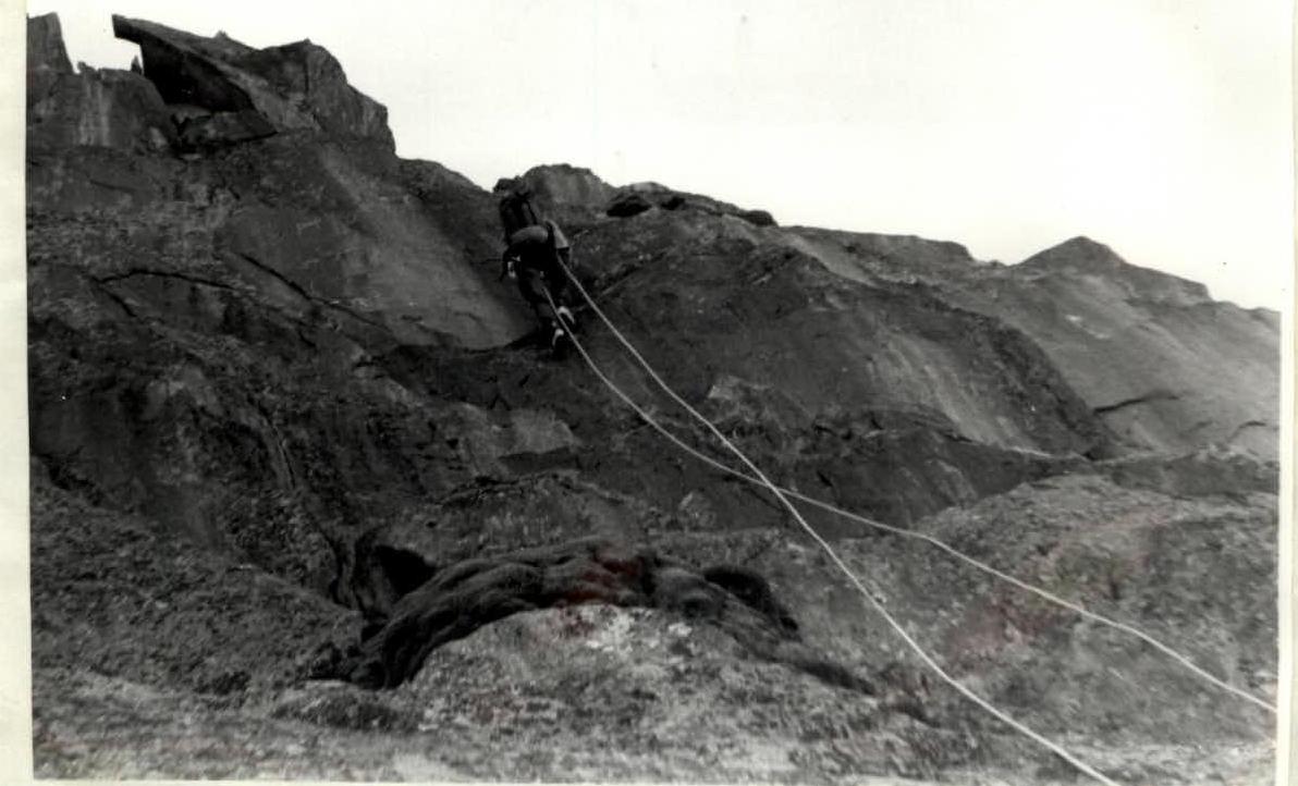
R0 — Movement initially left of the stream, then transition to the right and exit to a ledge. R1 — Up the slab to the right and left to KT, then up the crack. R2 — Up and right along the smoothed slabs. R3 — Up the inner corner. Ledge on the left. R4 — Traverse left onto a chimney along an inclined snowy ledge. R5 — Left and up. R6 — Left into a shallow chimney turning into an inner corner. R7 — Along the left part of the inner corner, then left around the corner and up. R8 — Inner corners alternate with ledges. R9 — Grey slabs. Up and left along them. Ledge. R10 — Alternating walls and ledges, exit to the "roof" between two "gendarmes". R11 — Snow-ice couloir leading to the ridge. R12 — Along the ridge, bypassing "gendarmes" to the right, exit to a large ledge. R13 — Ice couloir leading to scree. R14 — Via route 1B to the summit.
Tactical actions of the team
During the ascent, there was no deviation from the tactical plan. To avoid an overnight stay on the route, it was decided to prepare the first four ropes at the beginning of the route, as recommended by the SKA-19 team members. Three people went out to prepare: Tokarev, Mramornov, and Plotnikov. Plotnikov worked first.
The next day, they started moving along the fixed ropes at 7:00. Tabachikov worked the whole day. The rest of the group followed the fixed ropes with top rope protection. The first person worked on a double rope. All belay points were chosen mainly on small ledges, blocked from three points.
During the ascent, there were no falls or injuries. The team was constantly observed from the moraine through binoculars. Radio communication was also established using a "Kaktus" type station.
Conclusion of the KSP of Kyrgyz Ala-Too, Ala-Archa gorge
According to the materials presented on the route to Boks peak via the edge of the northern wall, the route corresponds to the 5B category of difficulty and is combined. The SKA-18 team made the third ascent of this route.
Route ascents:
- I ascent: Yugoslavian team 1987. Confirmation of classification received from Yugoslavia.
- II ascent: SKA-19 team 1990.
- III ascent: SKA-18 team 1992.
Captain: Tabachikov A.A. Candidate Master of Sports Coach: Kozhemyako N.G. Master of Sports
Head of the KSP area: Lyakh V.P.
R0–R1
R2–R3

R6
R7