
Peak Choibolsan (4191 m)
Western ascent — Cat. 1B (Fig. 6)
Peak Choibolsan, resembling a rock tower, is located in the watershed ridge system, in the upper reaches of the Ozernaya River valley.
The northern side is covered in ice, with rock ridges approaching from three sides, connecting it to:
- the Ozernaya peak to the east,
- the unnamed "4200 m" peak to the south,
- Almaty Alagir to the west.
The northern side of the massif drops off with a nearly sheer wall, whose steepness decreases somewhat at the base.
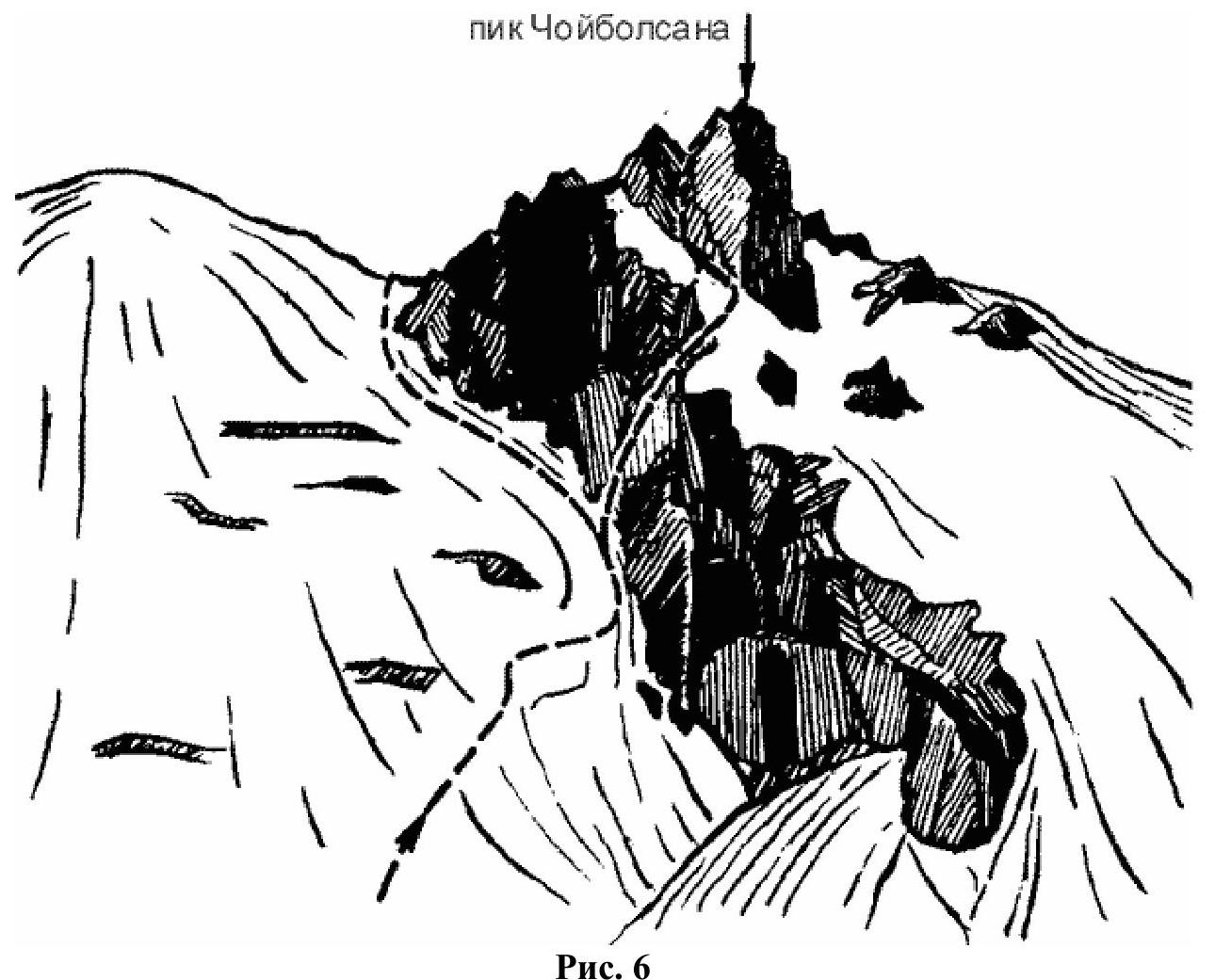
Fig. 6
The ascent begins from the Ozernoye valley. Reach the pass of the same name, then turn right from the cairn and continue northwest across the South Choibolsan Glacier. The glacier is not very steep but is heavily crevassed (be cautious!).
While crossing the glacier, head towards the snow-and-ice saddle between Peak Choibolsan and the unnamed peak. After reaching the saddle, descend slightly and continue northwest, skirting the peak on the left. Upon reaching the southwest side, continue the ascent via a couloir, which presents no technical difficulties but is rockfall-prone. The easy rock is heavily degraded, with large boulders accumulated at its base.
The descent follows the ascent route. The climb takes 6 hours. The peak was first ascended in 1938 by Almaty climbers led by B. Legostaev.
Recommendations for Climbers
- Team size: 10–12 people.
- Initial bivouac at Ozernoye Pass.
- Departure from bivouac at 6:00 AM.
- Group equipment for 4 people — 2 x 30 m dynamic ropes.
Comments
Sign in to leave a comment