
Route Description to the Summit of "40 let Kazakhstana"
At 5 am, the group left the base camp located on the ancient lateral moraine of the Djasil-Kul glacier.
Moving along the top of the moraine for a distance of 2 km, the group reached the base of the northern ridge of the peak by 6 am.
Ascending to the right along the talus for 120–130 m, we reach the ridge. The ridge initially consists of easy and moderate rocks, then, after 100 m, a 60 m high rock wall is encountered. Descending to the left for 50–60 m, we traverse the wall along a ledge with piton belay and rejoin the ridge. After proceeding 250–300 m along the ridge, we have to traverse the slope to the right, as the ridge is heavily damaged, and there are steep drops to the left.
After traversing 100–120 m, we begin the ascent to the saddle between the end of the rocky ridge and the ice ascent. The ascent is made along a snow-ice couloir with a steepness of 55–60°. Here, we had to set up a rope belay. The further path goes along the ice ascent towards the rocky outcrop: the length of the ascent is 40 m, the steepness is over 60°.
The lead climber ascended in crampons and, securing the rope on the rocks, belayed the others along the rope.
From the rocky outcrop, an ice slope begins, which we cross from right to left upwards to the main ridge of the peak. The length of the slope is 200–250 m.
The ridge is snowy and leads directly to the summit tower. The tower is a weathered glacial roche moutonnee. To the west, it drops steeply towards the glacier

Three valleys converge ahead.
At the confluence of the rivers
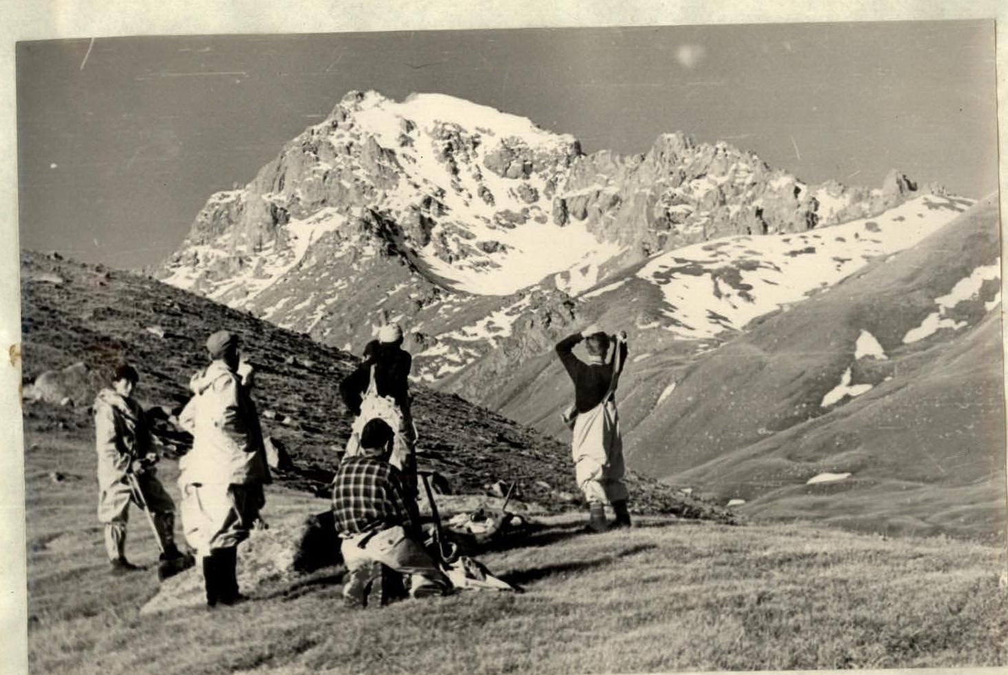
An unknown peak in a separate spur, which we are about to conquer.