St. Petersburg Alpine Federation.
Report
on the ascent to the summit of Sel'dy (3664 m) via the southwest couloir, cat. difficulty 2A.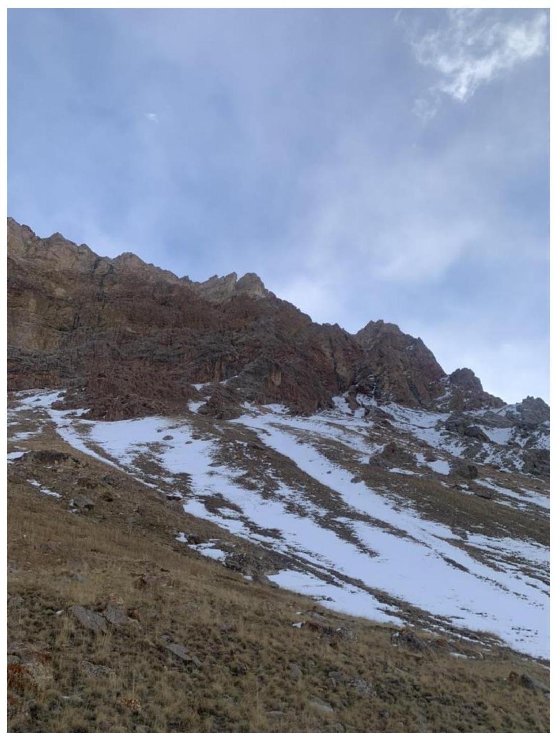
Instructor: Belyankina N. P. Coach: Kiselev D. M.
Climbing Passport:
- Eastern Caucasus, Chehy-chay gorge, area 2.10.
- Sel'dy summit via the southwest couloir.
- Cat. difficulty 2A.
- Rock class
- Elevation gain 370 m.
- Route length 950 m.
- On the route, 4 anchor bolts, 3 chocks, and 4 slings were used for protection (the group moved simultaneously).
- Climbing time 3.5 hours
- Instructor: Belyankina Natalya Pavlovna, CMS.
Participants:
- Bondareva Ekaterina, badge
- Ivanov Igor, badge
- Kazantseva Mariya, badge
- Shevelev Maksim, badge
- Departure from Kurush village: February 19, 2025, at 4:00 AM
Arrival at the bivouac at 7:00 AM. Departure from the bivouac at 7:45 AM. Start of the route at 8:45 AM. Summit at 12:30 PM. Descent: February 19, 2025, at 2:30 PM (training rappels via the ascent route).
-
Organization: St. Petersburg Alpine Federation, "United Mountain Club" ("UMC").
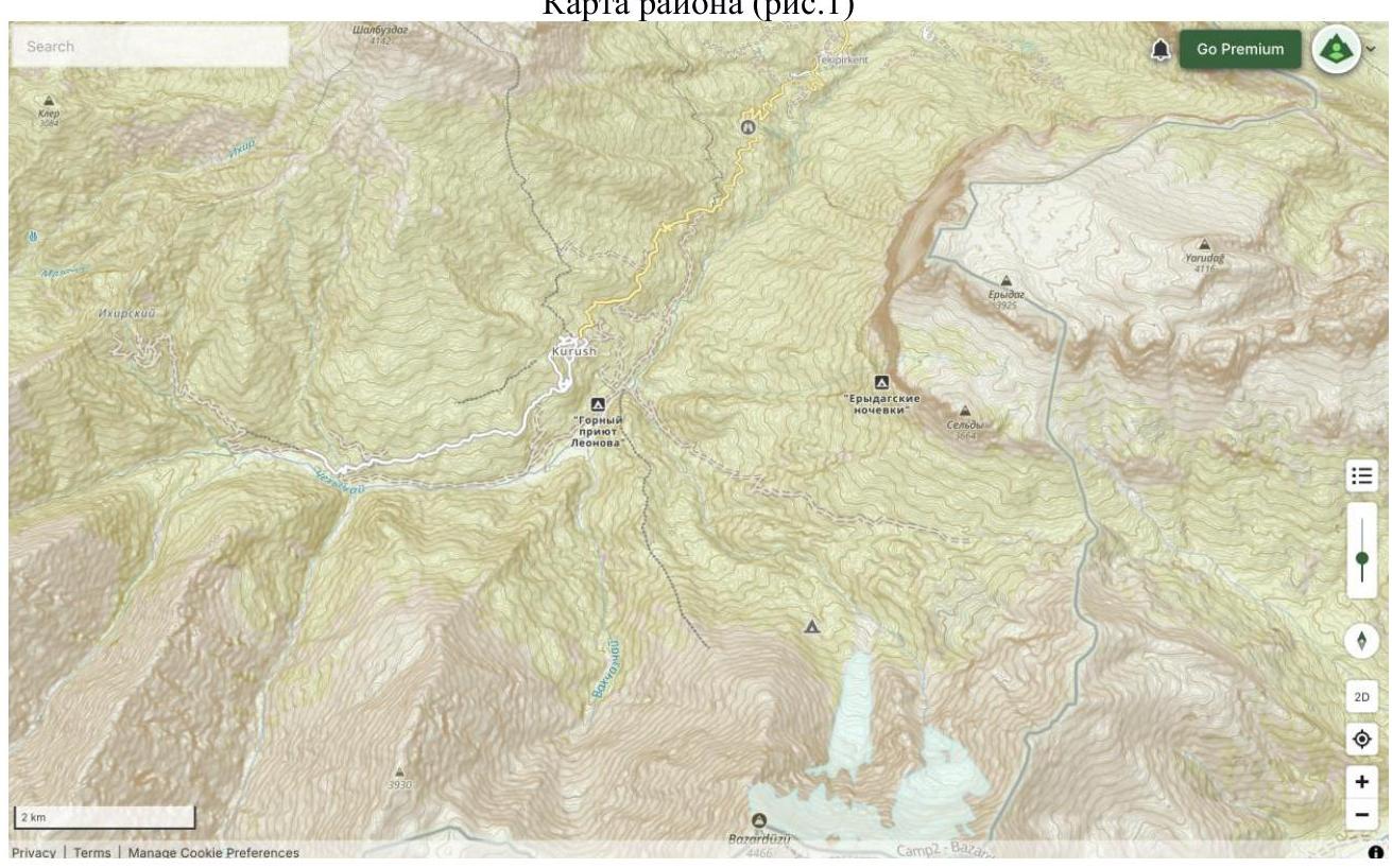
Area Description.
Kurush village is located at an elevation of 2500 m and is within a four-to-five-hour drive from Kaspiysk city. The village has two small grocery stores where one can buy a minimum set of products and household goods. There are also several guest houses accommodating from three to 12 people. The EMERCOM post is located in the settlement. The locals are friendly and responsive. MTS cellular network is stable, and Beeline occasionally has coverage.
The settlement is surrounded by:
- the Enydag massif to the east,
- Bazardüzü to the south,
- Shalbuzdag mountain to the north-east.
The path from the village towards the Enydag massif and Bazardüzü leads through the Chehy-chay gorge, located 240 m below the village. The gorge is home to Leonov P. G.'s alpine camp and a border guard post.
The Sel'dy summit is a continuation of the western wall of the Enydag massif and is located in its southern part. The area has routes ranging from 1B to 6B cat. difficulty. When visiting the area, it is necessary to obtain a permit from the FSB of the Republic of Dagestan.
Area map (fig.
1)
Route Description
The 2A and 2B cat. difficulty routes have a common start and diverge on a rocky shoulder after about 220 m.
Fig. 2 (red line — route 2B, blue —
2A)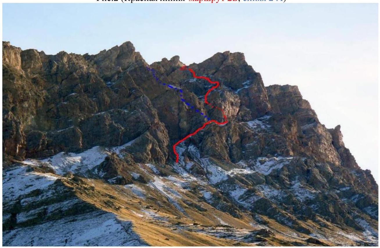 Fig.
3 (start of the
route)
Fig.
3 (start of the
route)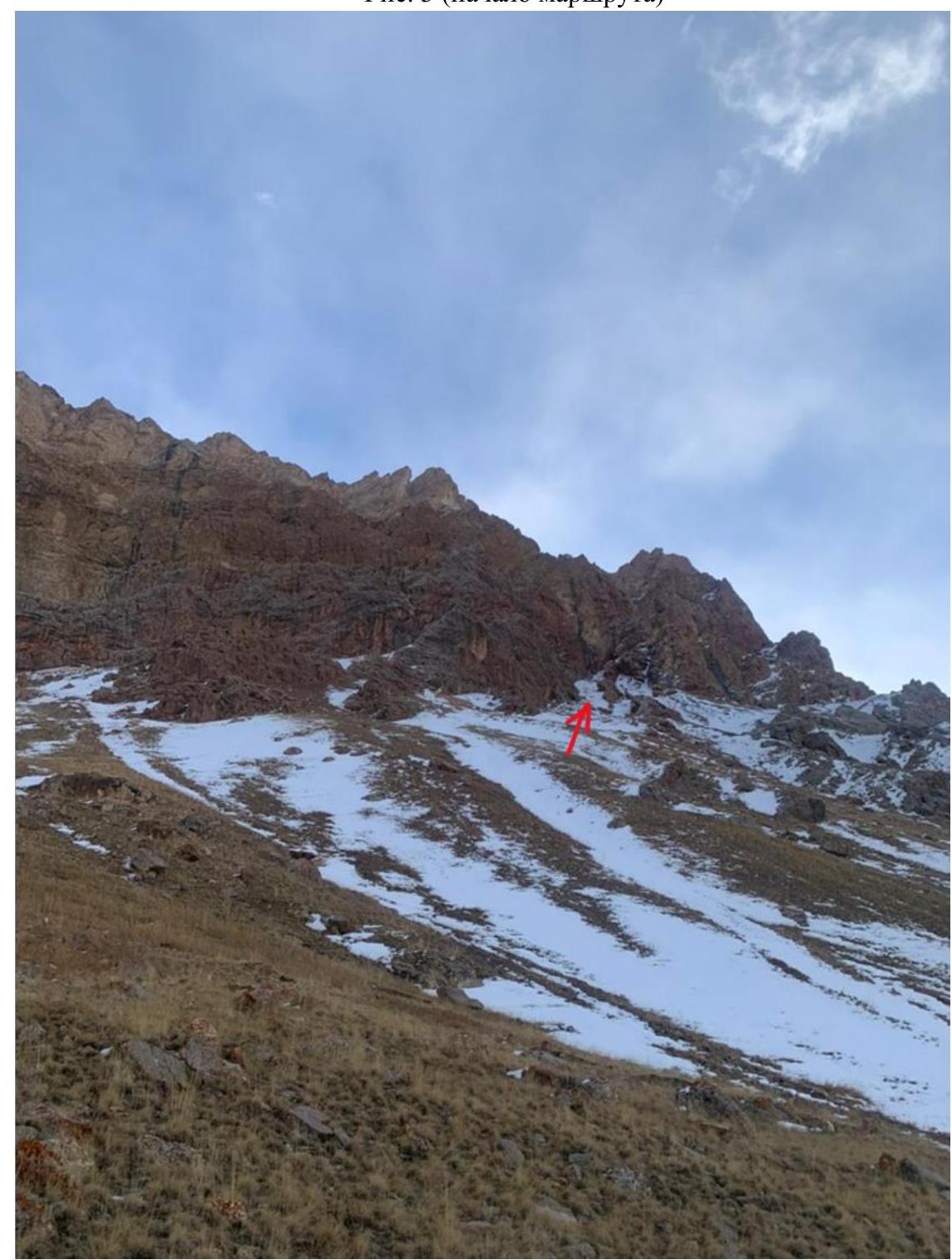 Fig.
4 (entrance to the
couloir)
Fig.
4 (entrance to the
couloir)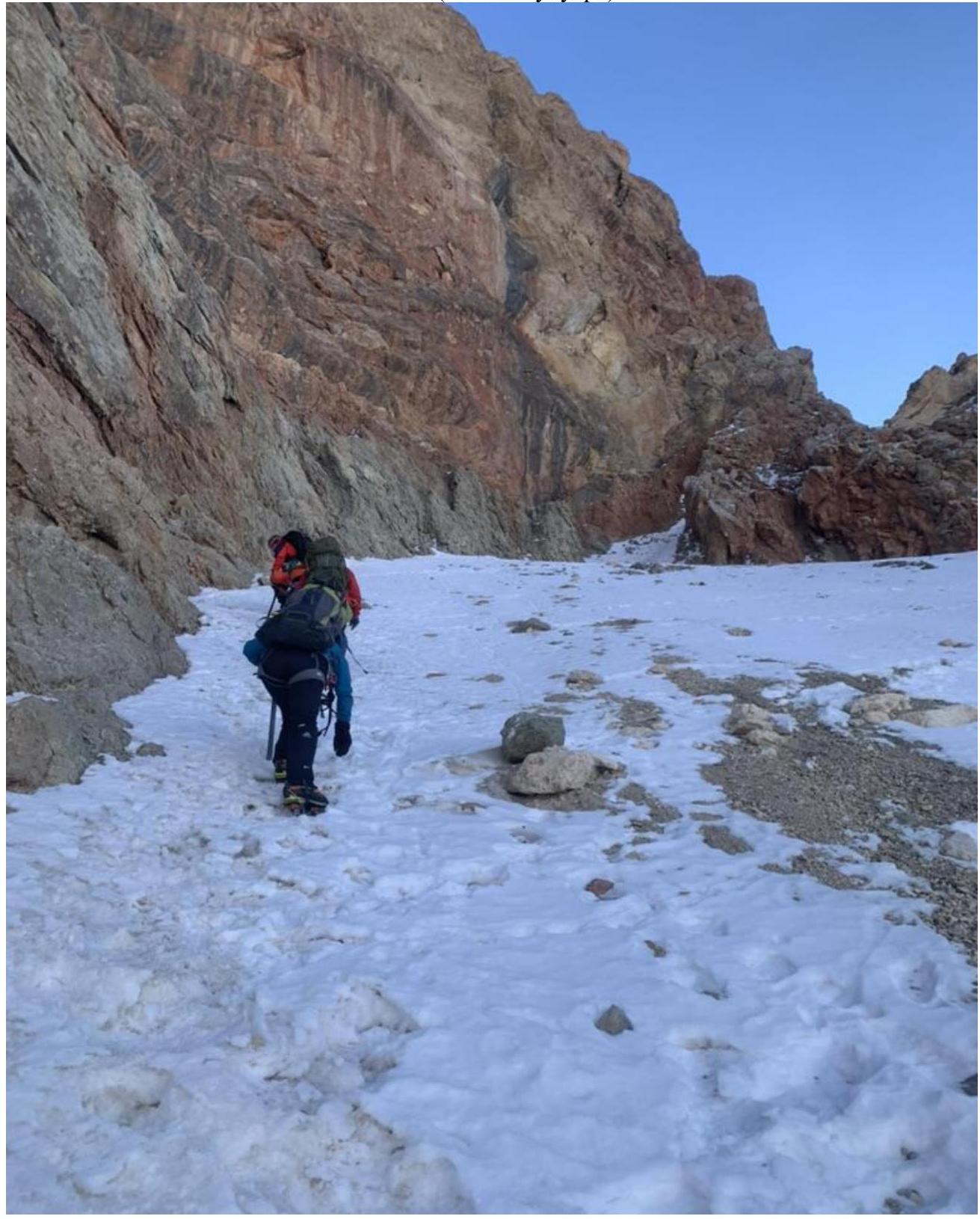 Fig.
5 (ascending to the
shoulder)
Fig.
5 (ascending to the
shoulder)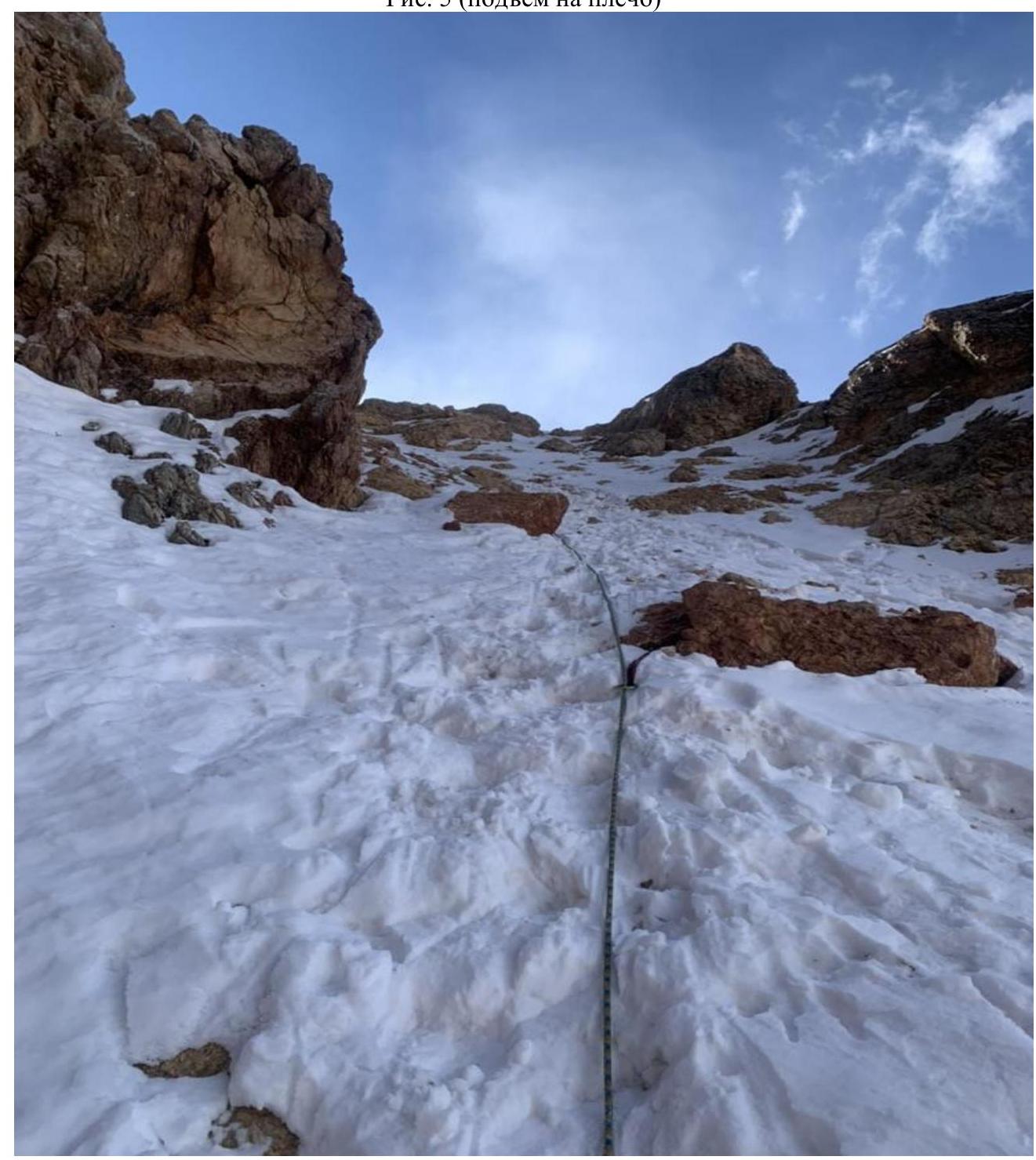 Fig.
6 (view of the couloir from the
shoulder)
Fig.
6 (view of the couloir from the
shoulder)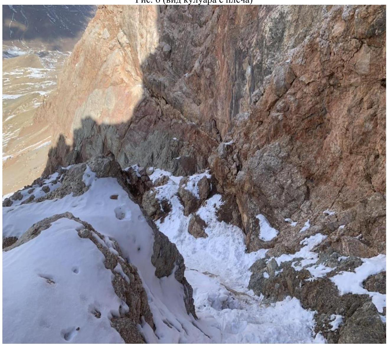 Fig.
7
(shoulder)
Fig.
7
(shoulder)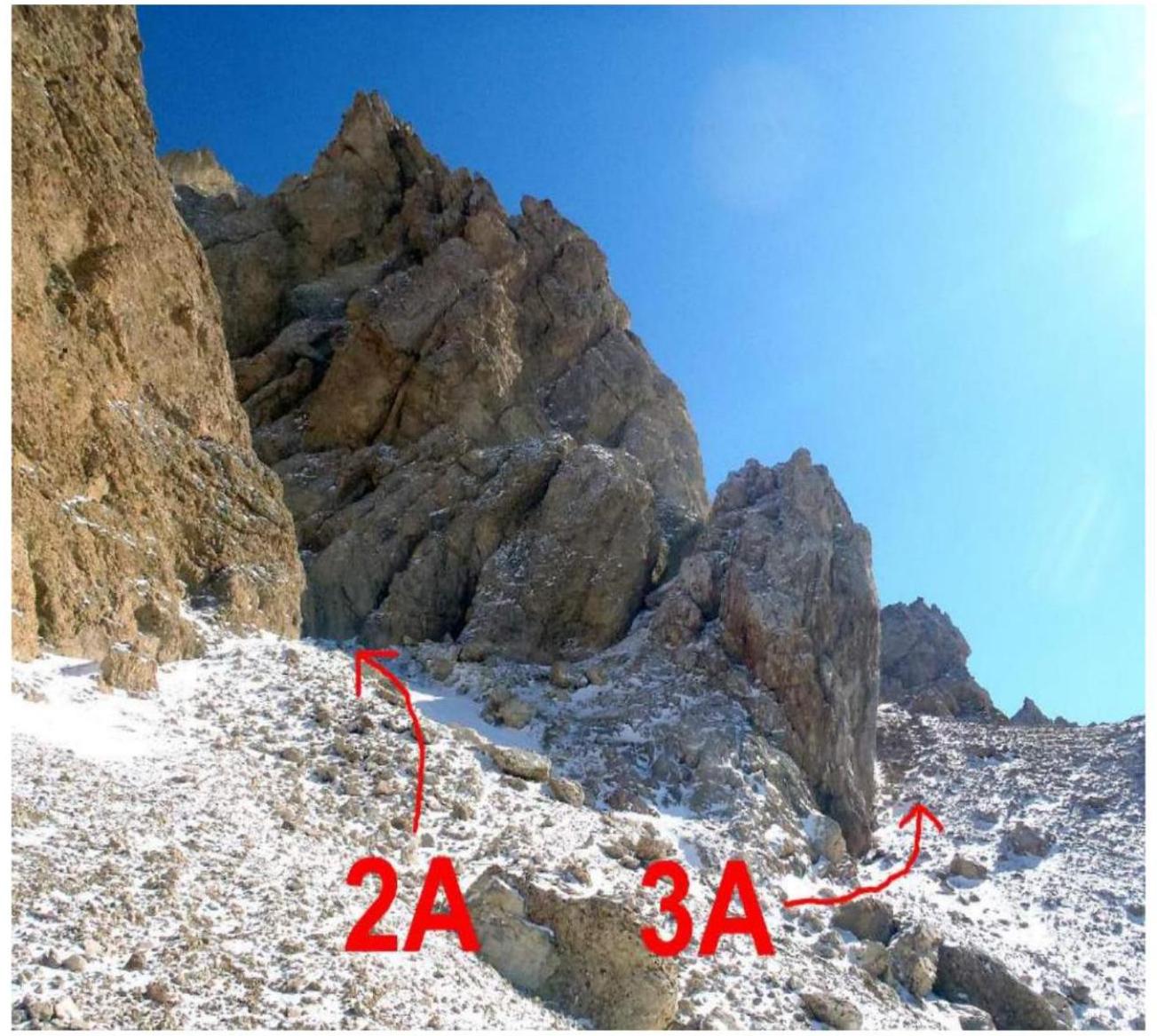 Fig.
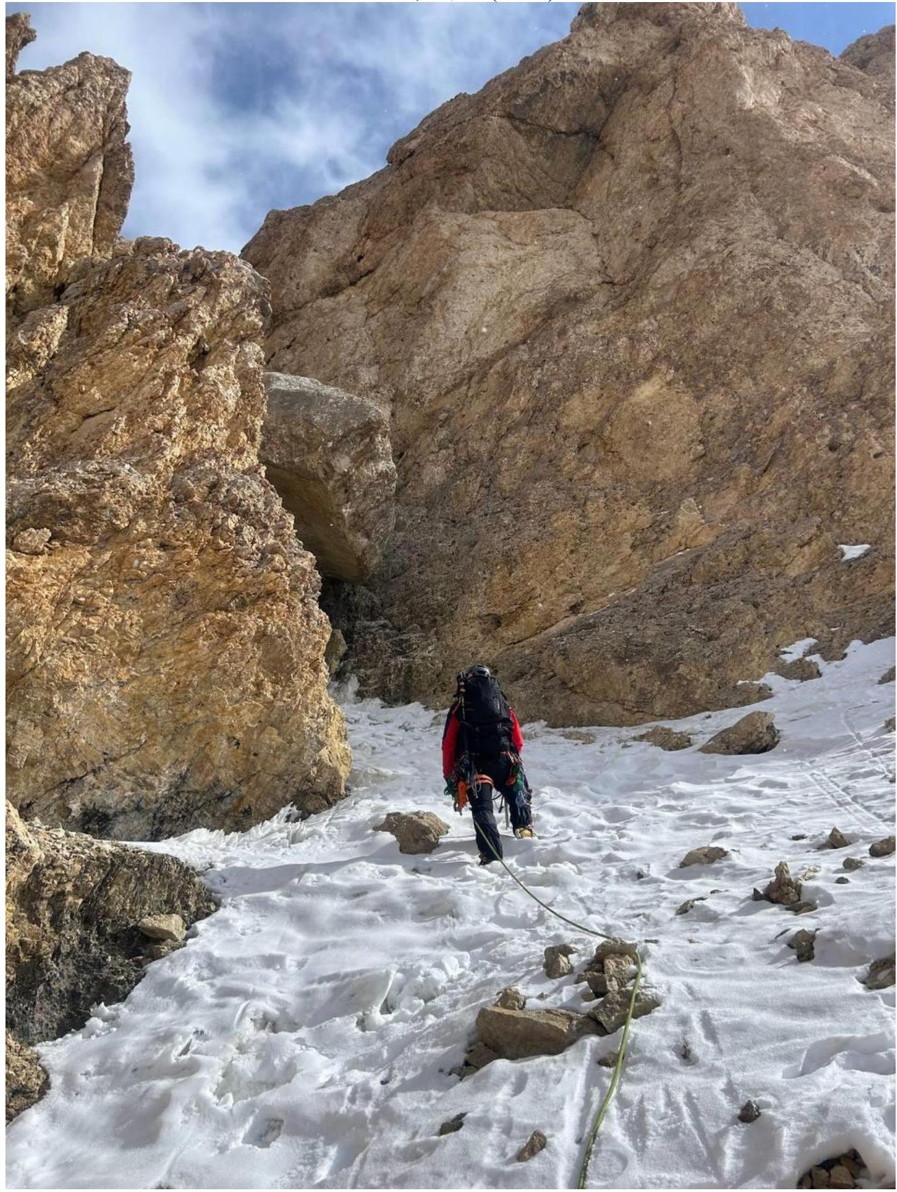
8, 9 (couloir above the
shoulder)
Fig.
8, 9 (couloir above the
shoulder)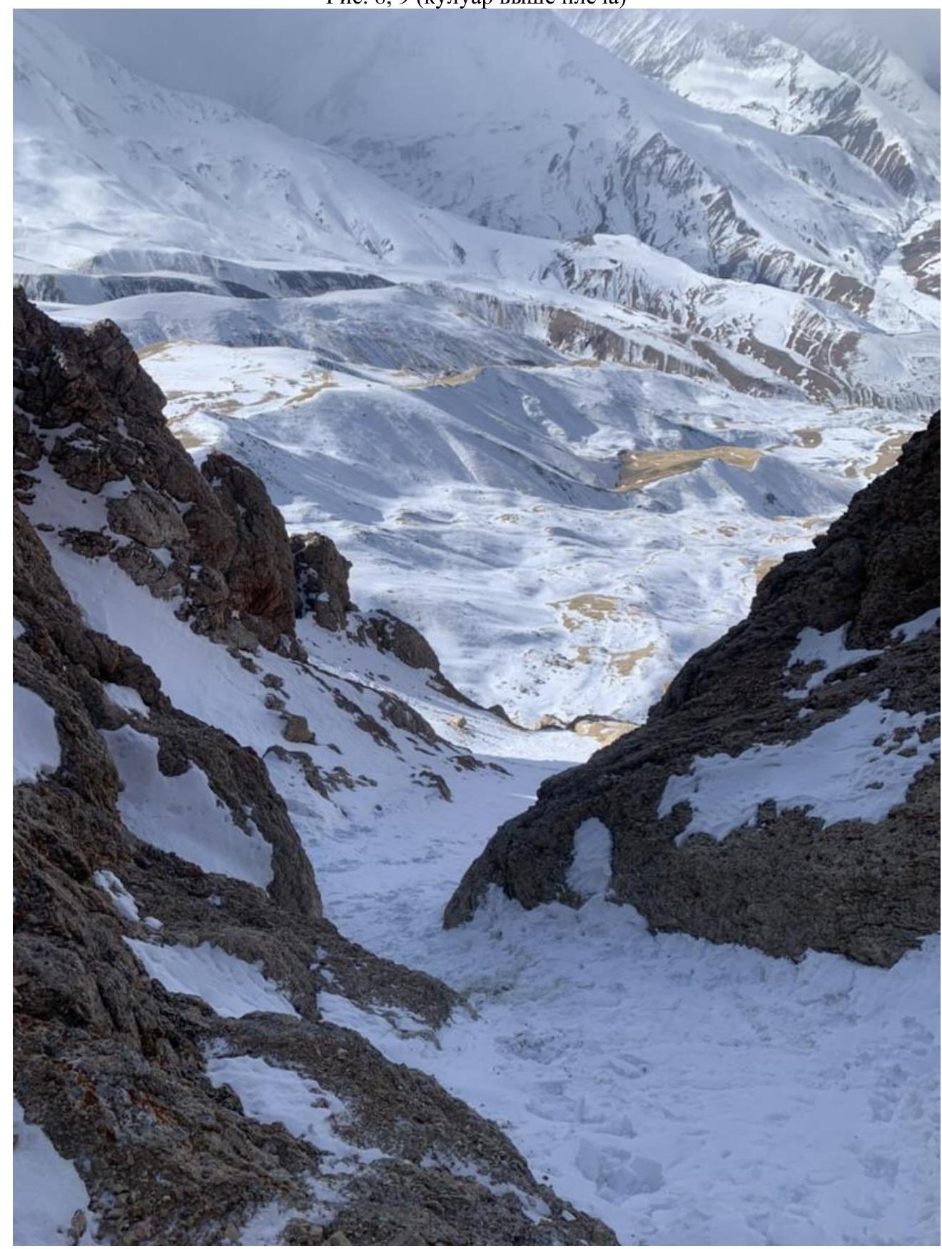

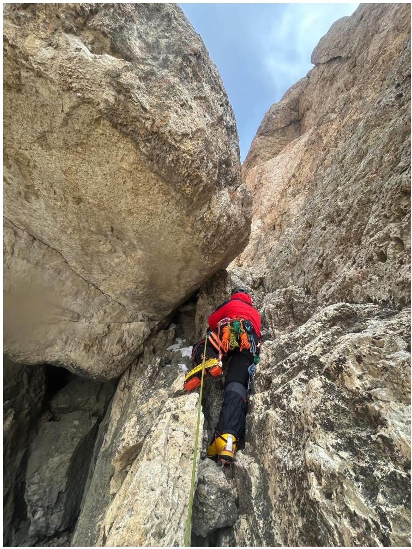
1 Fig. 10, 11, 12 (crux)
Digitized by
Google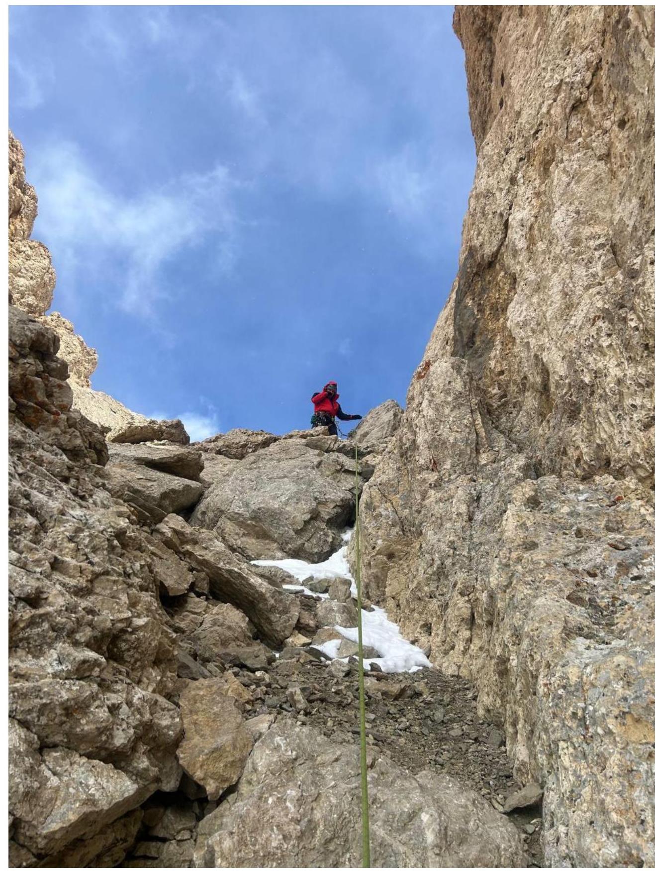 Fig.
13 (exit to the
plateau).
Fig.
13 (exit to the
plateau). Fig.
14 (descent via the
ascent route)
Fig.
14 (descent via the
ascent route)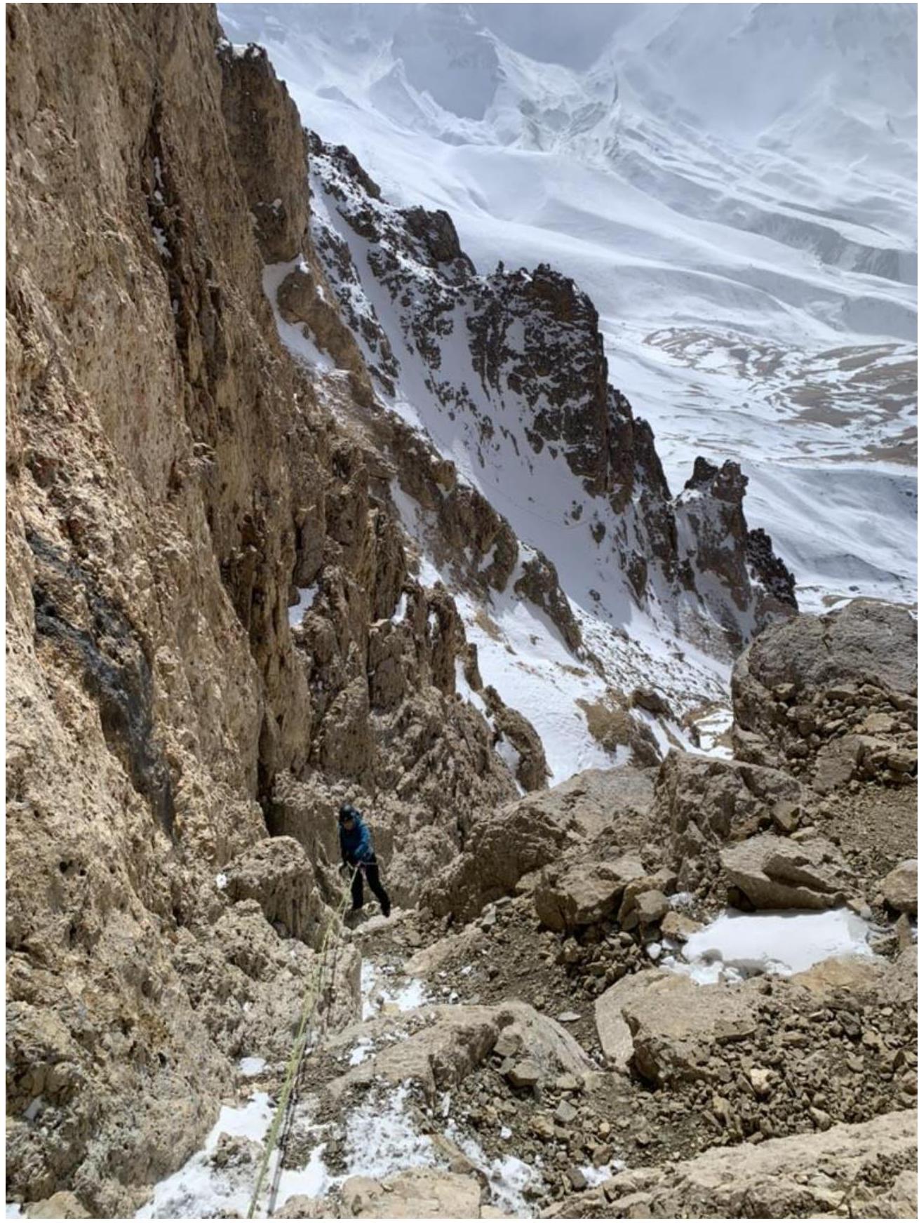 Fig.
15 (route
schema)
Fig.
15 (route
schema)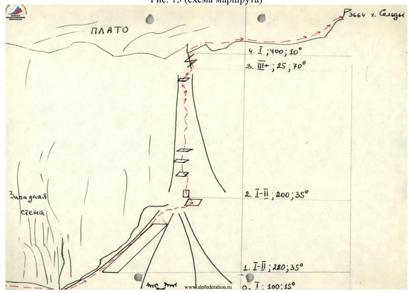
List of Equipment Used.
- Dynamic ropes 3 pcs., 50 m each.
- Camalots 3 pcs.
- Expendable ropes 4 pcs., 6 m each.
- Anchor bolts 5 pcs.
- Chocks 3 pcs.
- Quickdraws 60 cm 5 pcs.
- Slings 180–240 cm, 2 pcs.
- Jummar 1 pc.